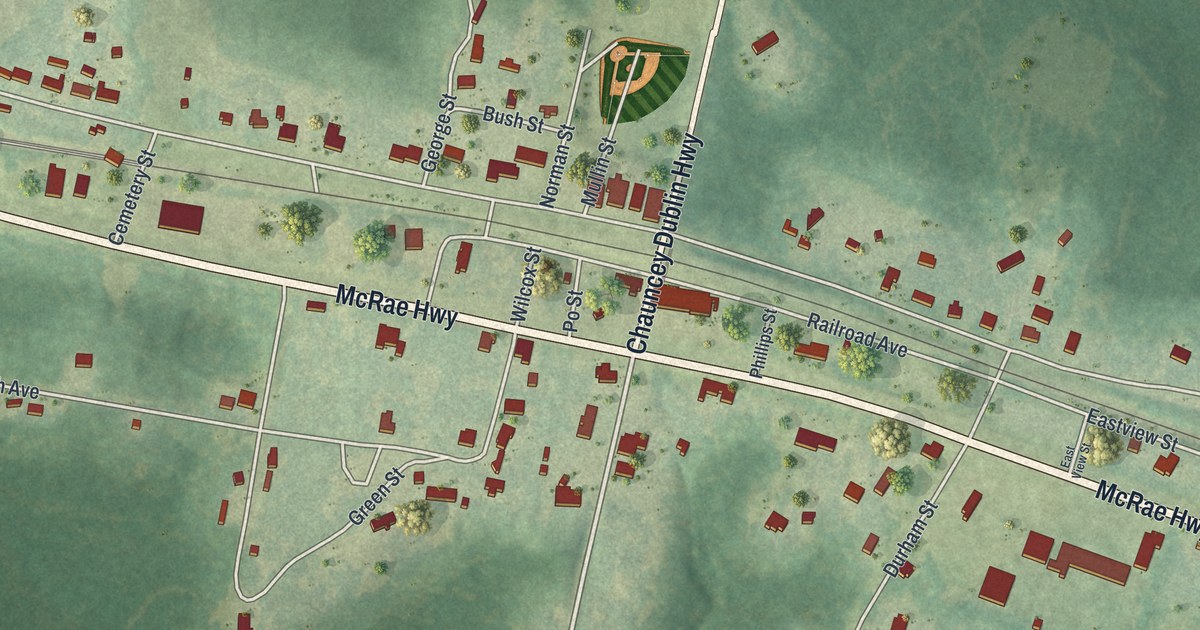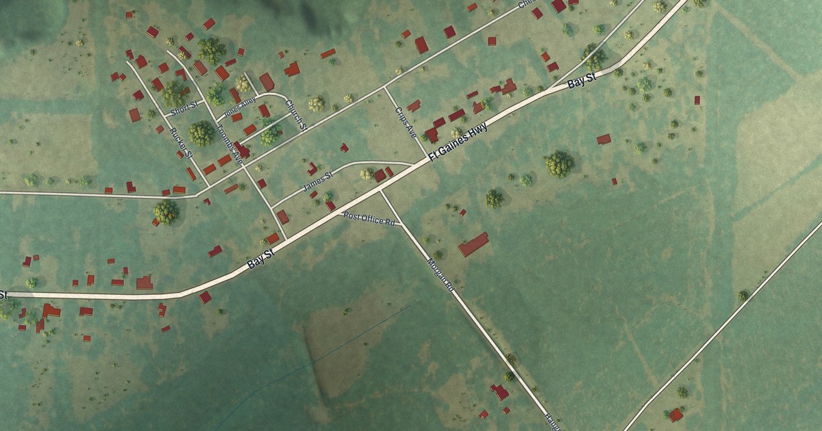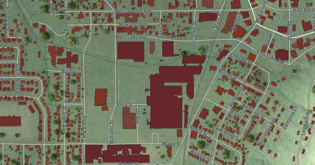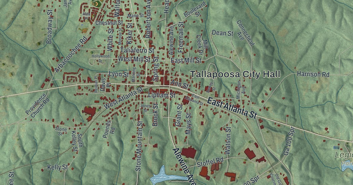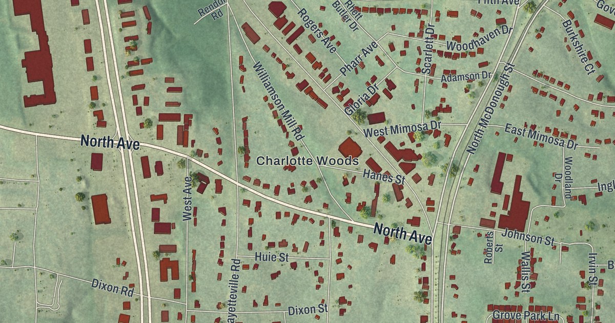
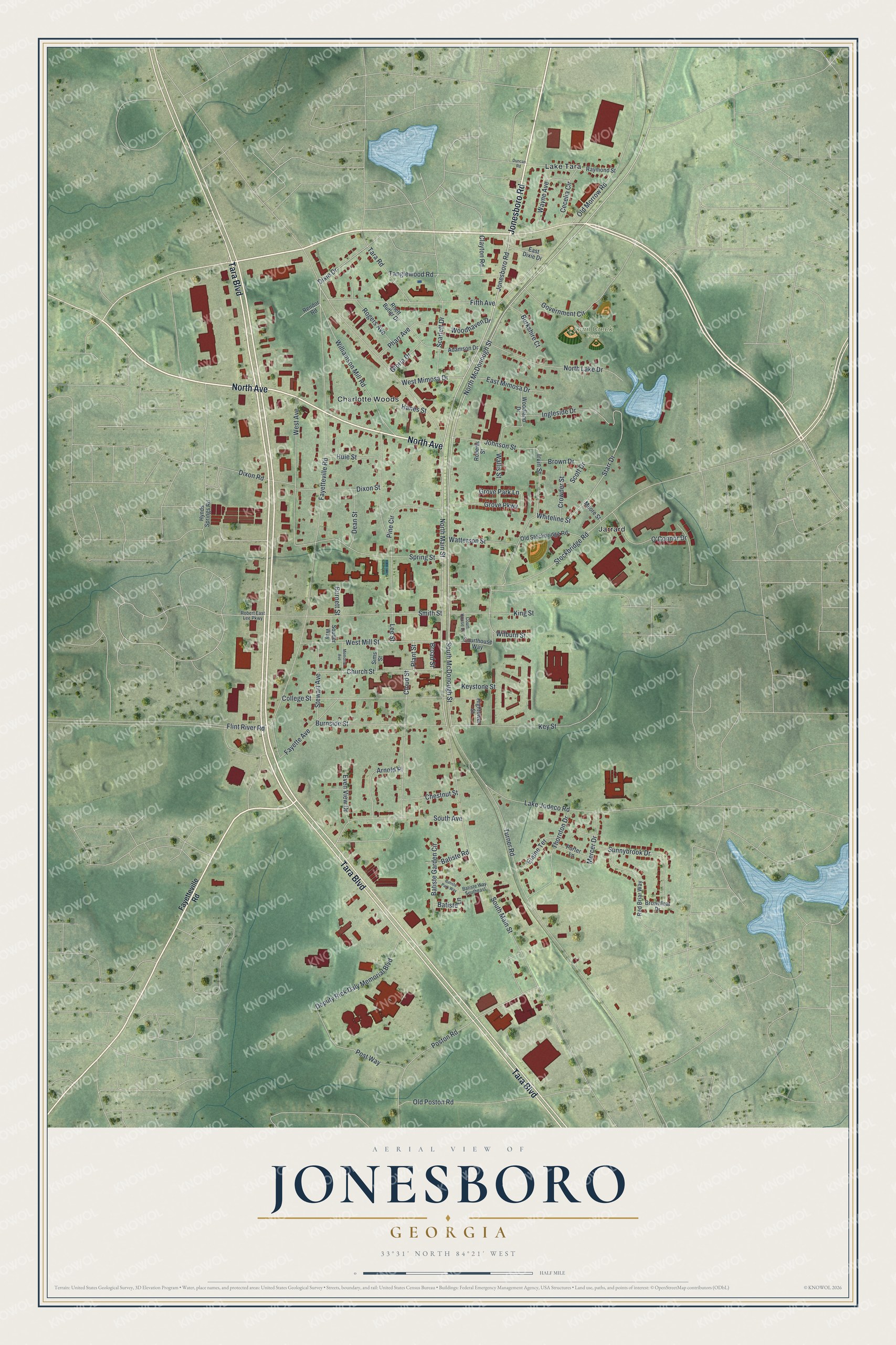
This beautifully detailed map of Jonesboro, Georgia was created in 2026 using aerial imagery combined with modern topographical, census, street and landmark data. It’s a one-of-a-kind view of Jonesboro that combines accurate data with a vintage aesthetic. The map shows every building in its true location, many of the roads carry their names, and the shaded topographic relief shows the shape of the land.
Explore an aerial view of Jonesboro, Georgia
On the map you’ll find Charlotte Woods, Jarrard, Lake Tara, and Rum Creek Park, along with North Avenue, Jonesboro Road, Tara Boulevard, McDonough Street, Main Street, and more. If you look closely you can even find your house accurately drawn in its correct location. Zoom in on the preview to look for yours.
Did You Know?
Jonesboro is often called a source of scenes for Gone With the Wind, the Pulitzer Prize novel by Margaret Mitchell. Mitchell herself always insisted that Tara Plantation came entirely from her imagination. That’s from the 1940 WPA guide to Georgia.
Take a closer look at the Jonesboro map
Names on this map
These names are printed on this map.
Places: Rum Creek Park, Charlotte Woods, Jarrard and Lake Tara.
Streets and roads: North Avenue, Jonesboro Road, Tara Boulevard, North McDonough Street, North Main Street, South McDonough Street, Starr Drive, Irvin Street, Fayetteville Road, South Main Street, Turner Road, Stockbridge Road.
More street names, A to Z
Adamson Drive, Arnold Place, Batiste Garden Circle, Batiste Lane, Batiste Park Way, Batiste Road, Batiste Way Southeast, Broad Street, Brown Drive, Brownleaf Drive, Burkshire Court, Burnett Street, Burnside Street, Cecelia Circle, Chestnut Street, Church Street, Clayton Road, Cloud Street, College Street, Court House Drive, Courthouse Way, Crowder Street, Dean Street, Deputy Rick Daly Memorial Boulevard, Dixie Drive, Dixon Road, Dixon Street, Duncan Road, East Dixie Drive, East Mimosa Drive, Elaine Terrace, Even View Drive, Fayette Avenue, Fifth Avenue, Flint River Road, Gloria Drive, Government Circle, Grove Park Lane, Grove Parkway, Hanes Street, Hightower Street, Huie Street, Hynds Springs Road, Ingleside Drive, Johnson Street, Keystone Street, Key Street, King Street, Lake Jodeco Road, Lee Street, Memorial Avenue, Mercer Drive, Moore Street, North Lake Drive, O'Connor Drive, Old Morrow Road, Old Poston Road, Old Stockbridge Road, Pharr Avenue, Pine Circle, Plant Street, Porter Lane, Poston Road, Post Way, Raymond Street, Red Briar Way, Rendor Road, Rhett Butler Drive, Robert East Lee Parkway, Roberts Street, Rogers Avenue, Scarlett Drive, Scott Drive, Sims Street, Smith Street, Souder Way, South Avenue, Spring Street, Stewart Avenue, Sunnybrook Drive, Tanglewood Road, Tara Road, Thornton Drive, Wallis Street, Watterson Street, Wayne Avenue, West Avenue, West Mill Street, West Mimosa Drive, Whiteline Street, Wilburn Street, Williamson Mill Road, Woodhaven Drive, Woodland Drive.
See it on a wall
The Jonesboro map as a framed print. Swipe for more.


This beautifully detailed map of Jonesboro makes an attractive addition to your office, library, or den, and it can even be used to teach children the geography and history of the area. It also makes a great gift for anyone who grew up in Jonesboro or moved away. When you’re done exploring, click here to get your copy of the Jonesboro map.