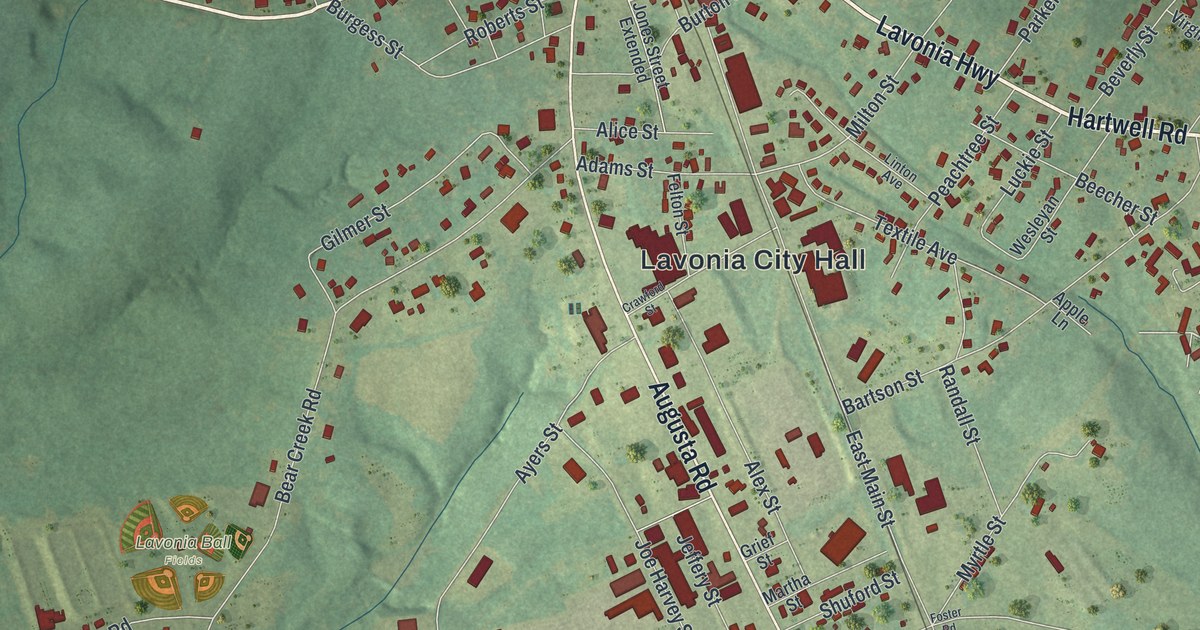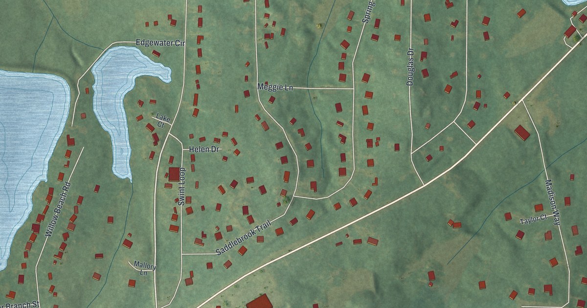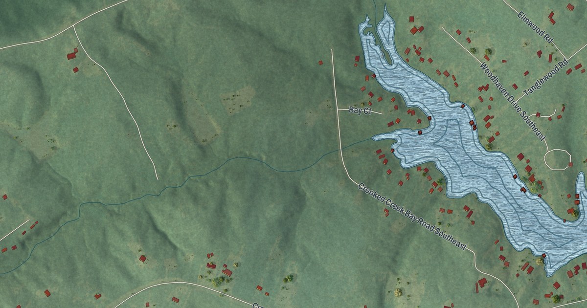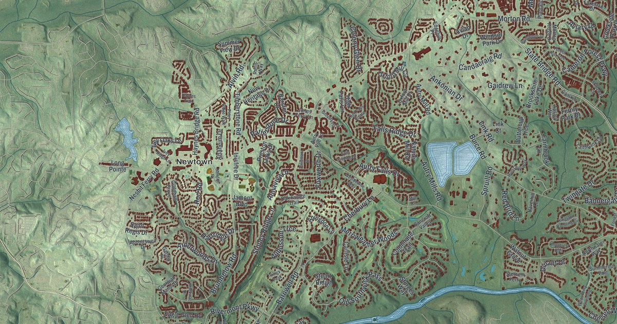
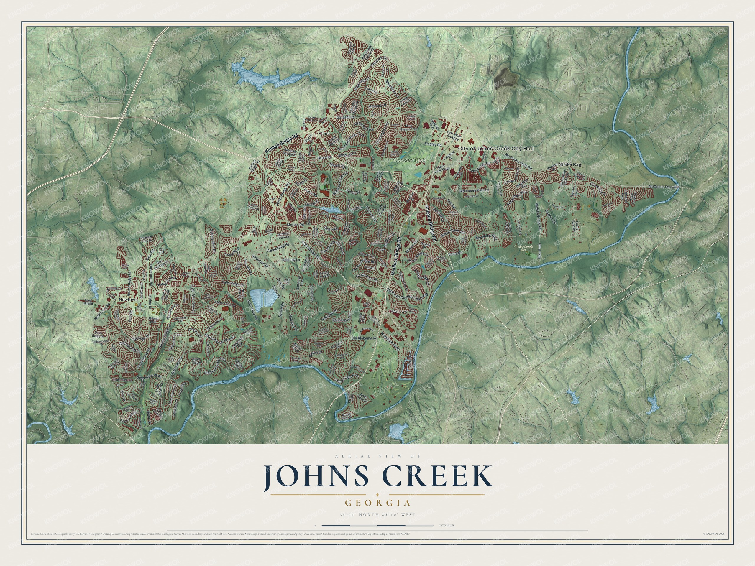
This beautifully detailed map of Johns Creek, Georgia was created in 2026 using aerial imagery combined with modern topographical, census, street and landmark data. It’s a one-of-a-kind view of Johns Creek that combines accurate data with a vintage aesthetic. The map shows every building in its true location, many of the roads carry their names, and the shaded topographic relief shows the shape of the land.
Explore an aerial view of Johns Creek, Georgia
On the map you’ll find Newtown, Ocee, Shake Rag, Warsaw, and Cauley Creek Park, along with Abbotts Bridge Road, Kimball Bridge Road, Medlock Bridge Road, Rogers Bridge Road, McGinnis Ferry Road, and more. If you look closely you can even find your house accurately drawn in its correct location. Zoom in on the preview to look for yours.
Did You Know?
Georgia Tech graduates bought 1,700 acres of farms and woods in 1981. They planned an office park for technology companies. On an old map they found a small stream labeled Johns Creek, and they put that name on their project. It marked the first use of Johns Creek for a place, long before the city existed.
Take a closer look at the Johns Creek map
Names on this map
These names are printed on this map.
Places: City of Johns Creek City Hall, Cauley Creek Park, Newtown, Ocee, Shake Rag, Warsaw and Standard Club.
Streets and roads: Abbotts Bridge Road, Kimball Bridge Road, Medlock Bridge Road, State Bridge Road, Rogers Bridge Road, McGinnis Ferry Road, Jones Bridge Road, Old Alabama Road, Buice Road, Bell Road, Old Southwick Pass, Barnwell Road.
More street names, A to Z
Abbotts Station Drive, Abbotts Walk Drive, Abbottswell Drive, Abingdon Lane, Agate Drive, Almaviva Lane, Alvin Road, Amberleigh Way, Anaheim Drive, Ankonian Drive, Apsley Way, Arborwoods Drive, Ascalon Court, Ascott Valley Drive, Ashewoode Downs Drive, Ashwind Trce, Aubusson Trce, Autry Falls Drive, Autry Mill Road, Autry Mills Road, Autry Vue Lane, Avian Drive, Aviary Drive, Ballybunion Drive, Bancroft Valley, Bannergate Drive, Barston Court, Barton Place, Barwick Lane, Bayhill Drive, Belcrest Drive, Bellacree Road, Bellmoore Park Lane, Bentham Court, Bike Path, Black Brook Drive, Boles Road, Bossier Drive, Boxford Place, Branham Fields Road, Bridgemor Drive, Bristol Parkway, Broadleaf Lane, Brookshire Lake Drive, Brumbelow Road, Brunson Drive, Buttercup Trce, Byers Road, Cameron Forest Parkway, Cameron Road, Candacraig Road, Carlisle Lane, Carriage Park Lane, Caswyck Trce, Cauley Creek Drive, Cauley Creek Overlook, Cavendish Place, Chelsen Wood Drive, Cherbury Lane, Church Drive, Colonnade Trail, Colony Club Drive, Colony Glen Drive, Colton Crest Drive, Commons Lane, Concord Hall Drive, Cooper Farm Way, Cottage Farm Road, Creekside Park Drive, Crossington Road, Crown Vetch Lane, Devonhall Way, Dinant Drive, Donamere Drive, Donnington Drive, Douglas Road, Dunhill Place Drive, Eagle Glen Road, East Johns Crossing, Edgehill Place, Embry Farm Road, Etching Overlook, Fairview Bluff, Falls Landing Drive, Falls Ridge Drive, Farmbrook Lane, Fernly Park Drive, Findley Chase Court, Findley Road, Forest Run Trce, Forrest Lake Road, Fox Road, Foxworth Drive, Frazier Fir Lane, Gaidrew Lane, Gaitskell Lane, Ganton Drive, Gates Terrace, Gatsby Place, Georgian Manor Drive, Glen Ferry Drive, Glenhurst Pass, Glenleigh Drive, Grandview Square, Groomsbridge Road, Grovehurst Drive, Grove Point Road, Guildhall Grove, Hamlet Drive, Hampstead Way, Hampton Square Drive, Hartridge Drive, Harvest Ridge Lane, Haverhill Lane, Hawkstone Way, Haynes Bridge Road, Haynes Trail, High Falls Circle, High Falls Pointe, Hospital Parkway, Hunt Club Way, Indian Village Drive, Inisfree Drive, Ivey Oaks Lane, Ivey Ridge Lane, Jamont Boulevard, Johns Creek Parkway, Jones Ferry Lane, Kelsey Place, Kemper Drive, Kings Peak, Kingston Crossing Circle, Knollcrest Boulevard, Lahontan Pass, Laithbank Lane, Lakefield Drive, Lake Glen Court, Lake Manor Trce, Lake Medlock Drive, Laketrail Drive, Laurel Crest Drive, Laurel Way, Lexington Woods Drive, Link Court, Link Road, Long Pointe, Mabrypark Place, Mackinac Drive, Magnolia Circle, Marsh Park Drive, Mc Ginnis Ferry Road, Meadows Lane, Medlock Crossing Parkway, Medridge Drive, Merriweather Woods, Mill Circle, Millwick Drive, Montclair Way, Morton Manor Court, Morton Ridge Drive, Morton Road, Mortons Crossing, Murets Road, Nature Mill Road, Nesbit Ferry Road, New Heritage Drive, Newton Pk, Niblic Drive, Nile Drive, North Hillbrooke Trce, Northwater Way, Oak Bridge Trail, Olde Clubs Drive, Old Homestead Trail, Otley Place, Oxford Mill Circle, Oxford Mill Drive, Palmetto Dunes Drive, Parsons Road, Patterstone Drive, Peachcove Court, Piney Ridge Walk, Plantation Drive, Preserve Circle, Preserve Lane, Preston Oaks Drive, Prestwick Club Drive, Quailbrook Chase, Red Bird Lane, Red Maple Forest Drive, Regal Forest Drive, Rhine Drive, Ridge Hill Drive, Riverclub Parkway, Rivermont Parkway, River Trace Drive, Rod Road, Rogers Circle, Roswell Mill Drive, Royce Drive, Runic Way, Saddle Bridge Drive, Saint Ives Country Club Parkway, Saint Lawrence Drive, Saint Regis Drive, Sargent Road, Selkirk Lane, Shelton Place, Sheltonville Alpha Road, Skidaway Drive, Song Breeze Trce, Southern Hill Drive, South Mount Drive, Spruill Road, Spyglass Bluff, Spyglass Hill Drive, Stapleford Lane, Stethem Ferry, Stevens Creek Drive, Stoney Ridge Lane, Stuart Ridge, Sturges Way, Sugar Crest Avenue, Summerour Vale, Summer View Drive, Surrey Park Trail, Sweet Creek Road, Taconic Way, Talisman Drive, Taylor Road, Technology Circle, Timberstone Road, Timson Lane, Twingate Drive, Valais Court, Ventana Way, Vintage Club Drive, Vista Bluff Drive, Waits Ferry Crossing, Walnut Grove, Wellsley Bend, Westbourne Way, Westbury Lane, Wilshire Chase Drive, Wilson Road, Windsor Chase Trail, Windsor Park Drive, Yukon Drive.
See it on a wall
The Johns Creek map as a framed print. Swipe for more.


This beautifully detailed map of Johns Creek makes an attractive addition to your office, library, or den, and it can even be used to teach children the geography and history of the area. It also makes a great gift for anyone who grew up in Johns Creek or moved away. When you’re done exploring, click here to get your copy of the Johns Creek map.