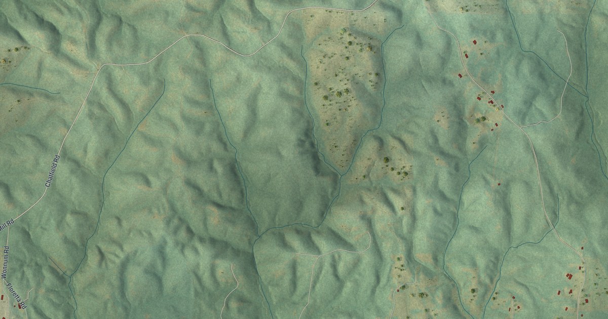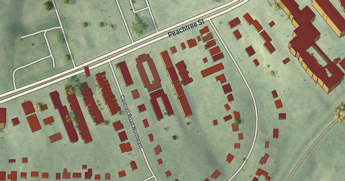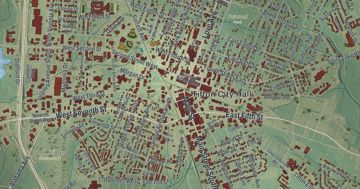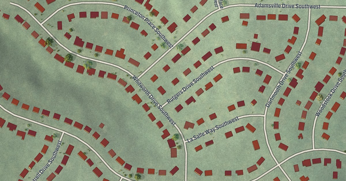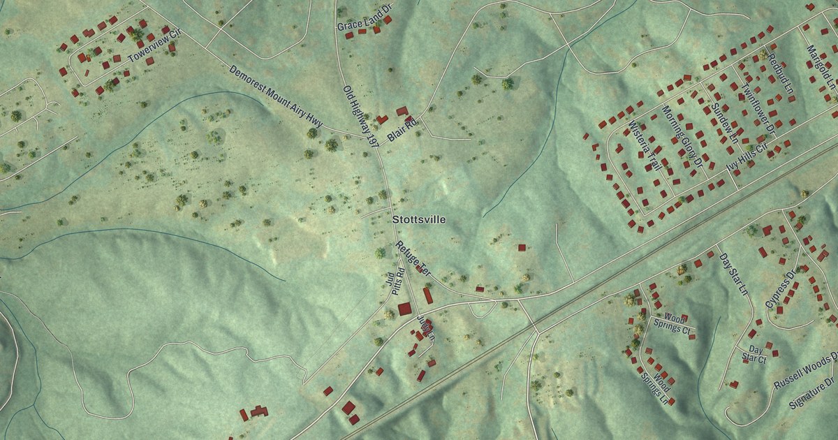
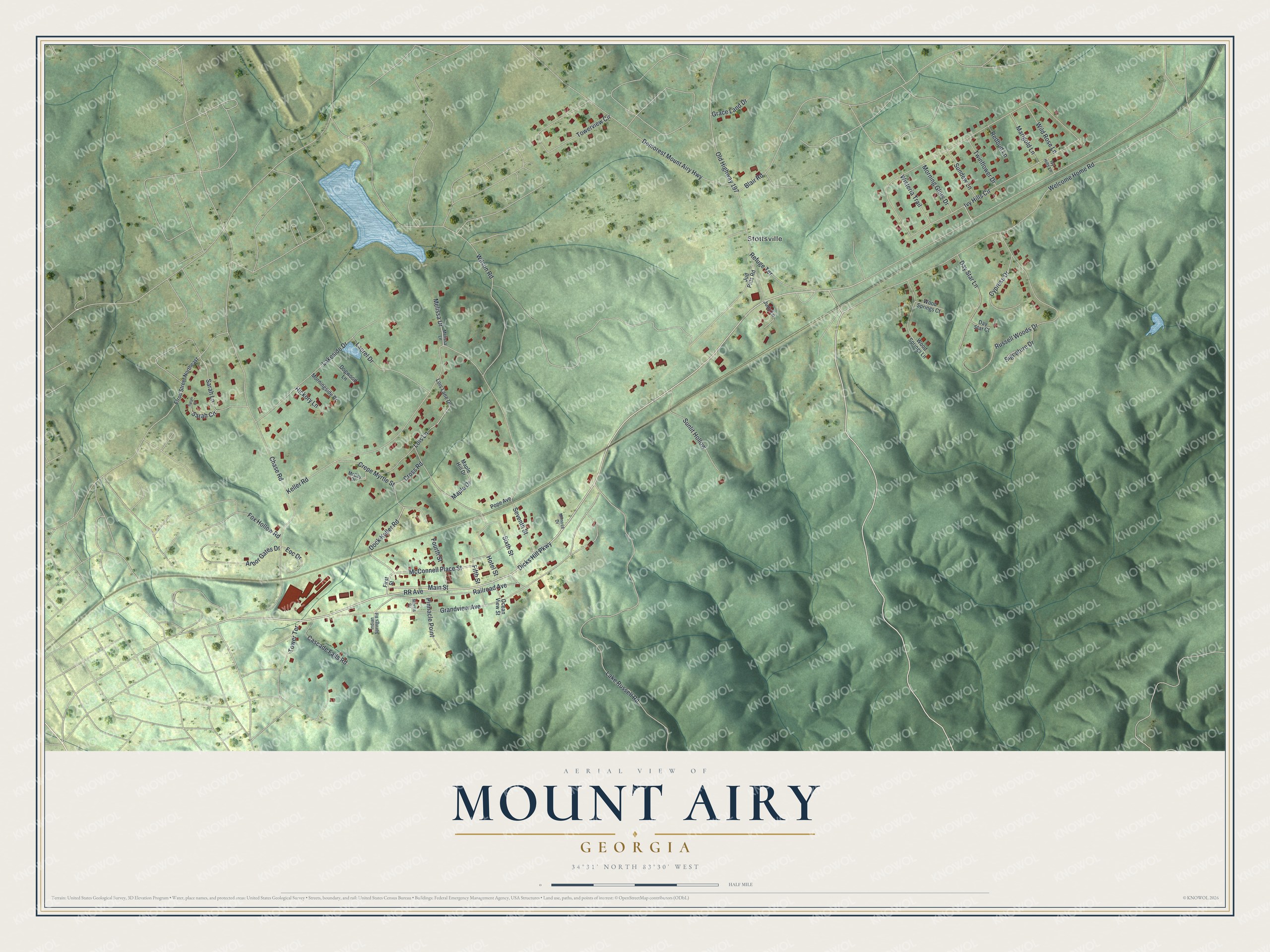
This beautifully detailed map of Mount Airy, Georgia was created in 2026 using aerial imagery combined with modern topographical, census, street and landmark data. It’s a one-of-a-kind view of Mount Airy that combines accurate data with a vintage aesthetic. The map shows every building in its true location, many of the roads carry their names, and the shaded topographic relief shows the shape of the land.
Explore an aerial view of Mount Airy, Georgia
On the map you’ll find Stottsville, along with Dicks Hill Parkway, Main Street, McConnell Place Street, Dock Keller Road, Grandview Avenue, and more. If you look closely you can even find your house accurately drawn in its correct location. Zoom in on the preview to look for yours.
Did You Know?
M. C. Wilcox, formerly of Ohio, opened a fine hotel here on the Piedmont Air-Line railroad. Dr. Gatchels ran a sanitarium in Michigan for lung patients. In the winter before 1878, he moved some of his worst cases to Mount Airy. Wilcox made special arrangements for them, and that May some patients were restored. That’s from the 1878 Guide to North-eastern Georgia.
Take a closer look at the Mount Airy map
Names on this map
These names are printed on this map.
Places: Stottsville.
Streets and roads: Dicks Hill Parkway, Main Street, McConnell Place Street, Dock Keller Road, Grandview Avenue, Seventh Street, Lois Lane, RR Avenue, Ivy Hills Circle, Keller Road, Chase Road, Lake Russell Road.
More street names, A to Z
Arbor Gates Drive, Blair Road, Cascade Falls Road, Crepe Myrtle Street, Cross Road, Cypress Drive, Day Star Court, Day Star Lane, Demorest Mount Airy Highway, Dogwood Lane, Elrod Street Northeast, Eoc Drive, Fifth Street, First Street, Fourth Street, Fox Hollow Road, Grace Land Drive, Hickory Lane, Hotel Street, Indian Springs Road, Ivy Hills Lane, Jud Pitts Road, Judy Lane, Lakeside Drive, Laurel Drive, Lois Lane Drive, Maple Drive, Maple Hill Drive, Marigold Lane, McCoy Drive, Melissa Drive, Melissa Lane, Mimosa Drive, Morning Glory Drive, Morningside Drive, Morris Drive, Ocean View Street, Old Highway 197, Pinnacle Point, Pope Avenue, Railroad Avenue, Redbud Lane, Refuge Terrace, Russell Woods Drive, Sarah Circle, Sarah Court, Sarah Lane, Signature Drive, Sixth Street, Sundew Lane, Sunlit Hollow, Tower Terrace, Towerview Circle, Twinflower Drive, Welcome Home Road, Wild Rose Lane, Wilson Road, Wisteria Trail, Wood Springs Court, Wood Springs Lane.
See it on a wall
The Mount Airy map as a framed print. Swipe for more.


This beautifully detailed map of Mount Airy makes an attractive addition to your office, library, or den, and it can even be used to teach children the geography and history of the area. It also makes a great gift for anyone with Mount Airy roots. When you’re done exploring, click here to get your copy of the Mount Airy map.