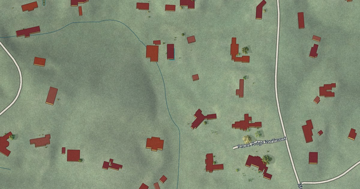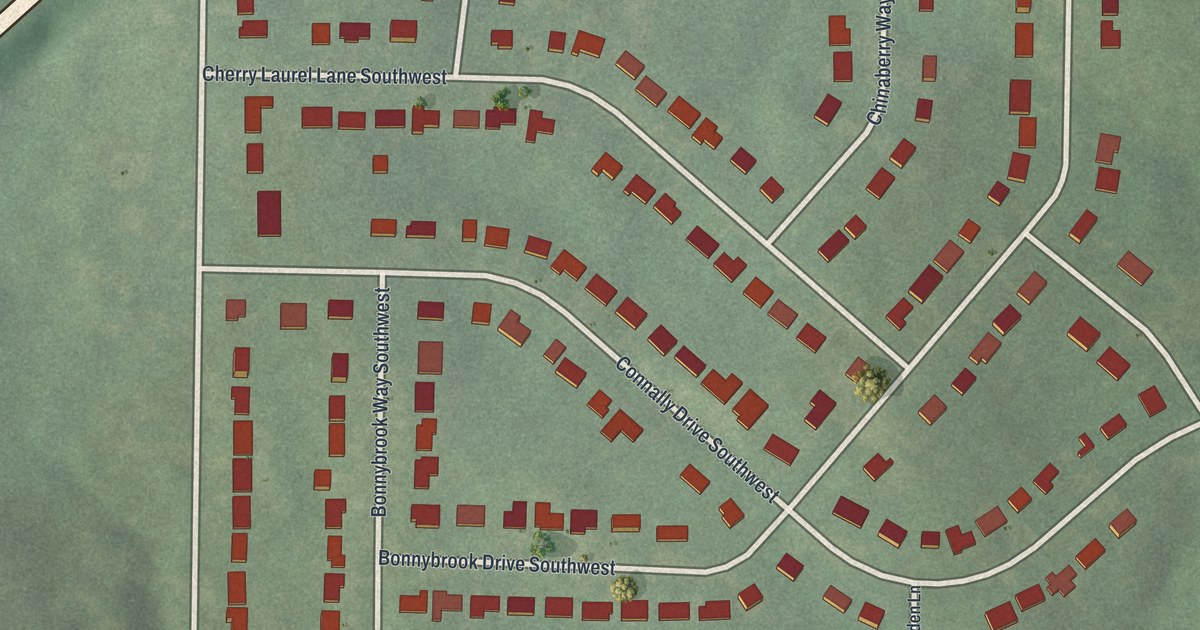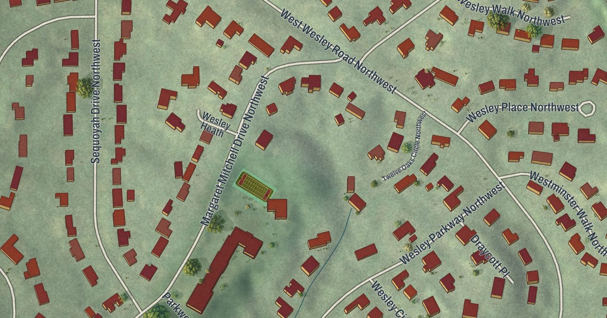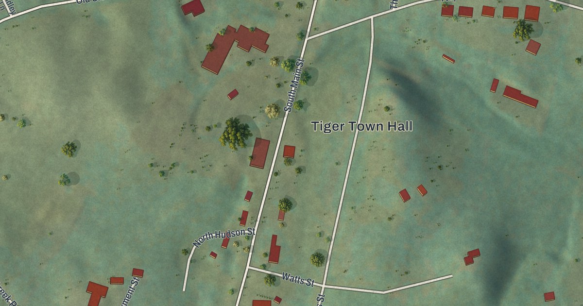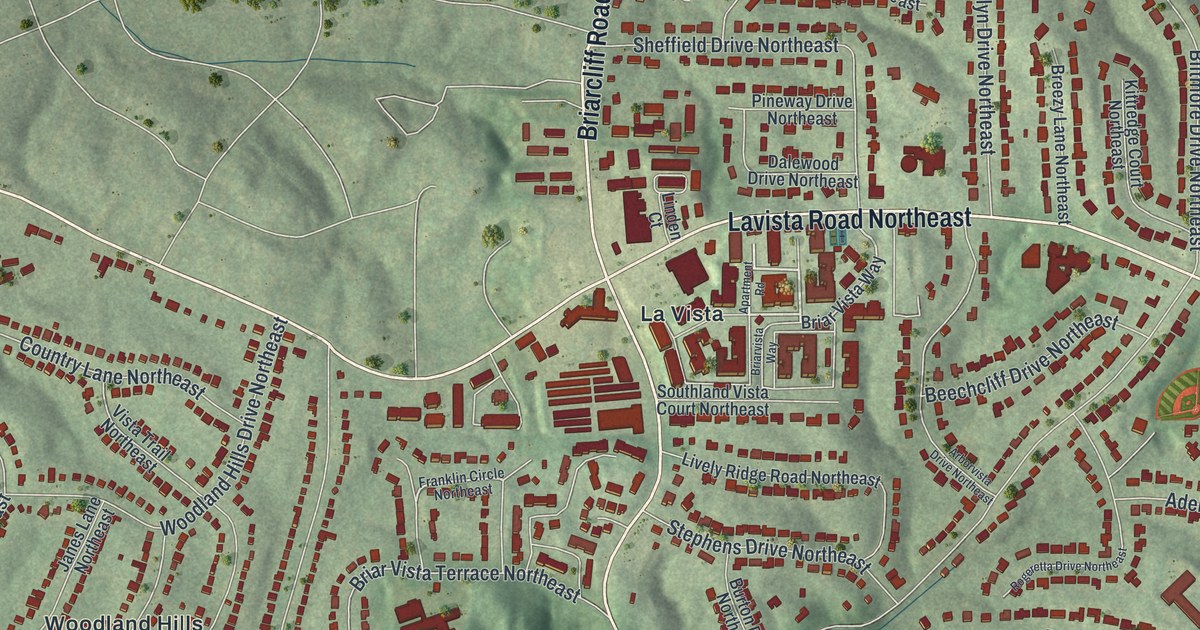
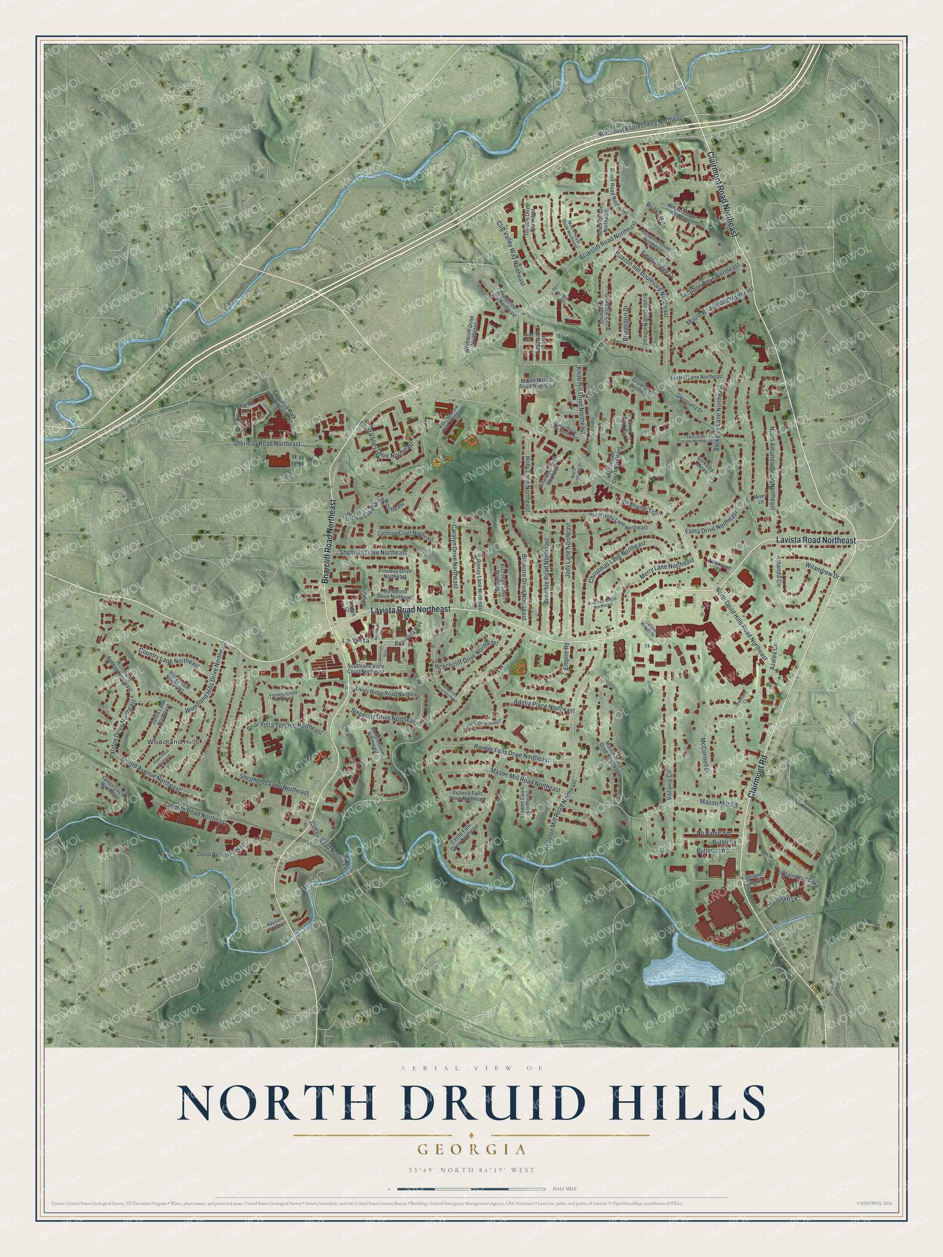
This beautifully detailed map of North Druid Hills, Georgia was created in 2026 using aerial imagery combined with modern topographical, census, street and landmark data. It’s a one-of-a-kind view of North Druid Hills that combines accurate data with a vintage aesthetic. The map shows every building in its true location, many of the roads carry their names, and the shaded topographic relief shows the shape of the land.
Explore an aerial view of North Druid Hills, Georgia
On the map you’ll find La Vista and Woodland Hills, along with Lavista Road, Briarcliff Road, Clairmont Road, North Druid Hills Road, Bridgeport Drive, and more. If you look closely you can even find your house accurately drawn in its correct location. Zoom in on the preview to look for yours.
Did You Know?
North Druid Hills stayed rural until 1965. That year Executive Park rose on an old dairy farm. It was the first suburban office park in metro Atlanta. After it was finished, the area boomed with suburban growth.
Take a closer look at the North Druid Hills map
Names on this map
These names are printed on this map.
Places: La Vista, Woodland Hills and Clairmont Lake.
Streets and roads: Lavista Road Northeast, Briarcliff Road Northeast, Clairmont Road Northeast, Clairmont Road, North Druid Hills Road Northeast, Bridgeport Drive, Biltmore Drive Northeast, Northeast Expressway Northeast, Knob Hill Drive Northeast, Houston Mill Road Northeast, Berkeley Lane Northeast, Vistavia Circle.
More street names, A to Z
Adelia Place Northeast, Amanda Circle, Apartment Road, Arborvista Drive Northeast, Arnold Avenue Northeast, Audubon Drive Northeast, Avon Cv, Azalea Circle, Beacon Hill Boulevard Northeast, Beechcliff Drive Northeast, Belle Isle Circle Northeast, Berkeley Mews, Bramble Road Northeast, Breezy Lane Northeast, Briarcliff Circle, Briarhill Lane, Briarhill Lane Northeast, Briaroaks Trail Northeast, Briar Vista Terrace Northeast, Briar Vista Way, Briarvista Way, Bristol Drive Northeast, Brockton Gln Northeast, Bruce Road Northeast, Burton Drive Northeast, Butler's Lane, Butler Lane, Calibre Woods Drive, Carolyn Drive Northeast, Castle Falls Drive Northeast, Childerlee Lane Northeast, Christmas Lane Northeast, Clairmont Lk, Cliff Valley Way Northeast, Clifton Road Northeast, Country Lane Northeast, Dalewood Drive Northeast, Dalon Road Northeast, Druid Oaks Northeast, Druid Valley Drive Northeast, Emory Place Drive Northeast, Emory Ridge Drive, Empire Road, Executive Park Drive Northeast, Fama Drive Northeast, Fern Creek Lane Northeast, Franklin Circle Northeast, Gables Way Northeast, Georgiana Drive, High Haven Court Northeast, Highland Lake Circle, Holly Lane Northeast, Janes Lane Northeast, Jan Hill Lane Northeast, Jody Lane Northeast, Kay Lane Northeast, Kings Bridge Northeast, Kittredge Court Northeast, Kittredge Park Road Northeast, Lachona Court Northeast, Laurel Park Circle, Lenox Circle Northeast, Liawen Court Northeast, Linden Court, Lively Ridge Road Northeast, Mason Mill Road, Mason Mill Road Northeast, Mason Woods Drive Northeast, McConnell Drive, Merry Lane Northeast, Miles Lane, Mount Brian Road Northeast, Mount Mariah Road Northeast, Mount Royal Drive Northeast, No Name Yet, North Amanda Circle Northeast, North Crossing Drive, North Holly Lane Northeast, Palafox Drive Northeast, Pinetree Circle Northeast, Pineway Drive Northeast, Rainier Falls Drive Northeast, Ralph Road Northeast, Rogeretta Drive Northeast, Rosalind Drive Northeast, Sabastian Point, Sheffield Drive Northeast, Shepherds Lane Northeast, Sheridan Road Northeast, Southland Vista Court Northeast, Stephanie Trail, Stephens Drive Northeast, Timothy Drive Northeast, Townsend Court, Victoria Falls Drive Northeast, Vista Trail Northeast, Waldorfs Court, Wilandrew Drive, Willow Lake Drive Northeast, Woodcliff Drive Northeast, Woodland Avenue Northeast, Woodland Hills Drive Northeast, Zonolite Road Northeast.
See it on a wall
The North Druid Hills map as a framed print. Swipe for more.


This beautifully detailed map of North Druid Hills makes an attractive addition to your office, library, or den, and it can even be used to teach children the geography and history of the area. It also makes a great gift for anyone who grew up in North Druid Hills or moved away. When you’re done exploring, click here to get your copy of the North Druid Hills map.