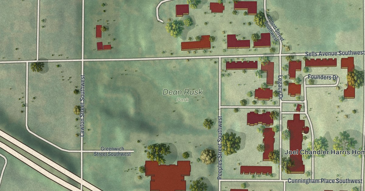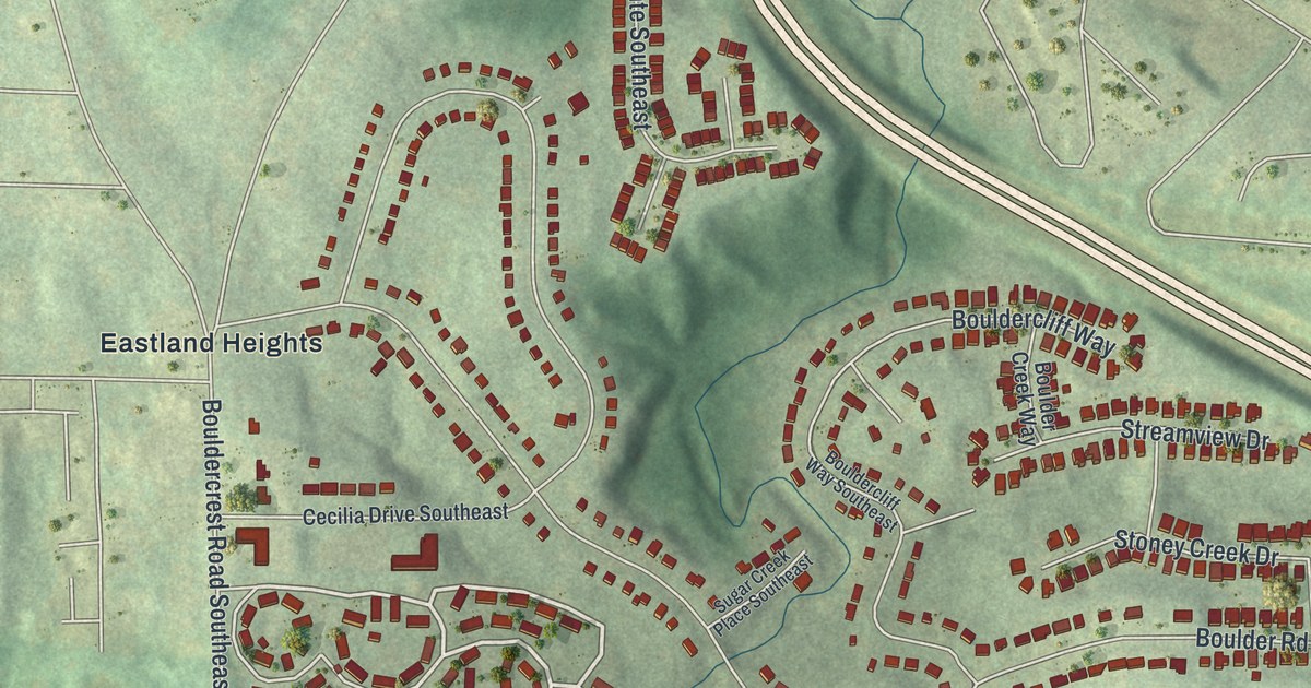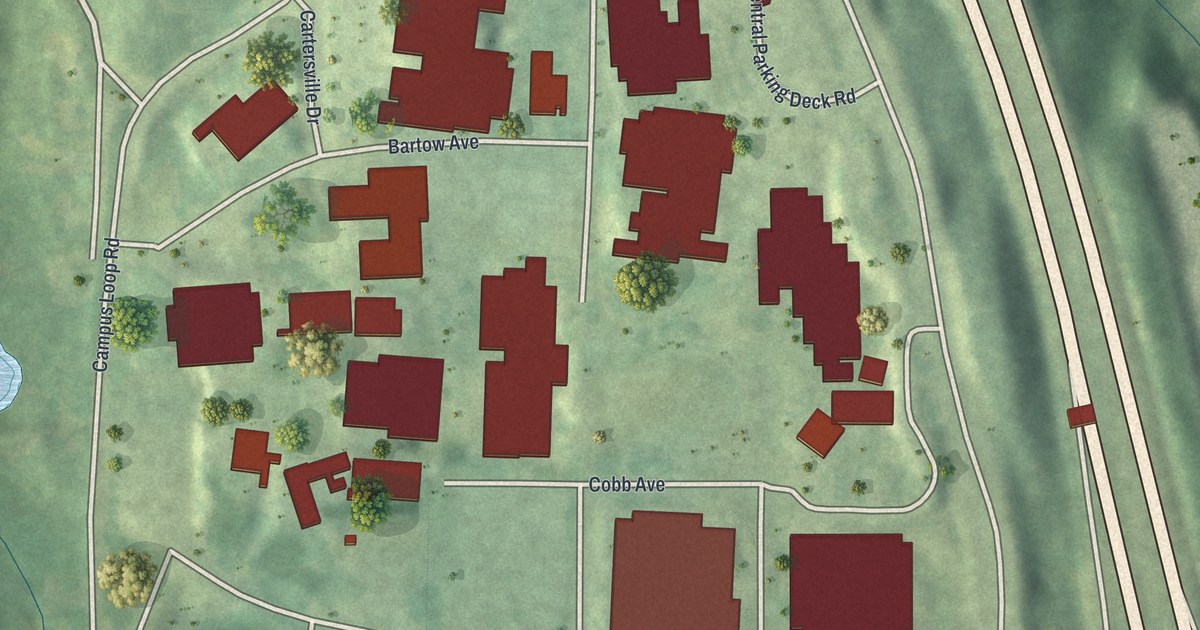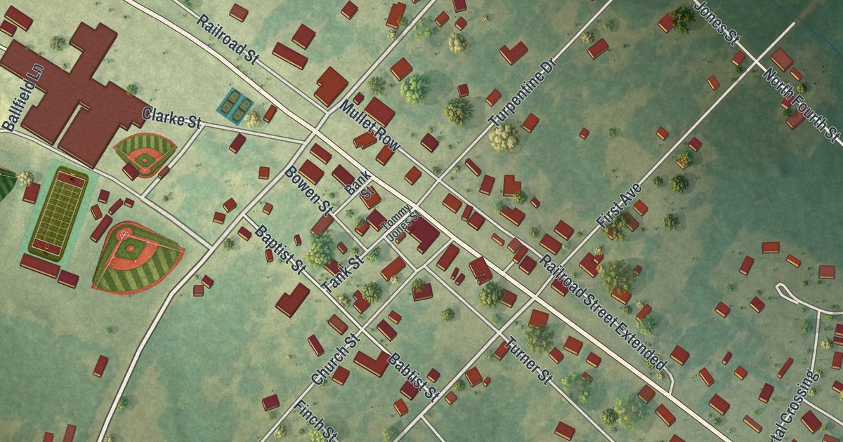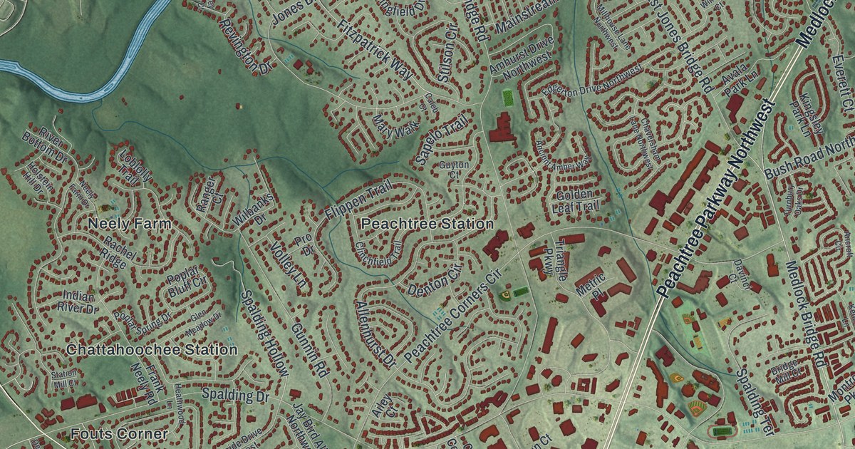
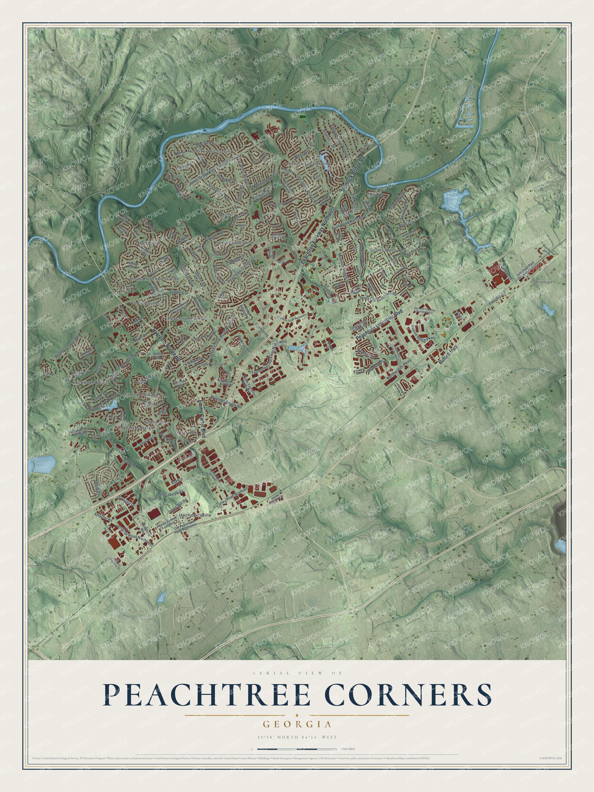
This beautifully detailed map of Peachtree Corners, Georgia was created in 2026 using aerial imagery combined with modern topographical, census, street and landmark data. It’s a one-of-a-kind view of Peachtree Corners that combines accurate data with a vintage aesthetic. The map shows every building in its true location, many of the roads carry their names, and the shaded topographic relief shows the shape of the land.
Explore an aerial view of Peachtree Corners, Georgia
On the map you’ll find Pittman, Chattahoochee Station, Chelsea Park, Elmside Village, Fouts Corner, and Pickneyville Park, along with Peachtree Parkway, Medlock Bridge Road, Buford Highway, Peachtree Industrial Boulevard, Holcomb Bridge Road, and more. If you look closely you can even find your house accurately drawn in its correct location. Zoom in on the preview to look for yours.
Did You Know?
A farming village called Pinckneyville grew up here along an old trail road. By 1827 it had the Washington Academy, the second school in Gwinnett County. In 1870 a railroad was built through nearby Norcross. Every business and many families moved there. In the late 1960s Paul Duke planned a new community on the old site.
Take a closer look at the Peachtree Corners map
Names on this map
These names are printed on this map.
Places: Pittman, Pickneyville Park, Chattahoochee Station, Chelsea Park, Elmside Village, Fouts Corner, Glen Leaf, Jones Bridge Landing, Lockridge Forest, Mechanicsville, Neely Farm, North River Crossing, Overlook, Peachtree Forest, Peachtree Station, Scotts Mill and The Corners.
Streets and roads: Peachtree Parkway Northwest, Medlock Bridge Road, Buford Highway, Peachtree Industrial Boulevard, Holcomb Bridge Road, Jimmy Carter Boulevard, Winters Chapel Road, Bush Road Northwest, Amwiler Road, Amwiler Road Northwest, Peachtree Corners Circle, Spalding Drive.
More street names, A to Z
Ailey Court, Allenhurst Drive, Allston Lane, Amhurst Drive Northwest, Ancient Amber Way, Ancroft Circle, Appletree Way, Ashley Lakes Drive, Avala Park Lane, Avalon Ridge Parkway, Avocet Drive, Bankers Industrial Drive, Bankside Way, Bay Circle, Bay Colony, Bentley Place, Bridge Mill Court, Brookwood Road, Bush Road, Caleb Court, Cape Kure Court, Cedar Corners Place, Chaversham Lane Northwest, Clearlake Court, Clinchfield Trail, Coppedge Trail, Corley Road Northwest, Corner Oak Drive, Corners Way Northwest, Country Club Village Lane, Courtside Drive Northwest, Creekside Drive, Crooked Creek Road Northwest, Davinci Court, Deerings Drive Northwest, Deerings Lane, Denton Circle, Dunwoody Club Drive, East Jones Bridge Road, Edgerton Drive Northwest, Engineering Drive, Everett Court, Fairley Hall Court, Farmington Lane, Fitzpatrick Way, Flippen Trail, Florida Avenue Northwest, Forest Hills Drive, Fox Hill Drive Northwest, Foxwood Road, Frank Neely Road, Freedom Lane, Gateway Drive, Glenleaf Drive, Glen Meadow Drive, Golden Leaf Trail, Governors Lake Parkway, Green Pointe Parkway Northwest, Grove Park Drive, Gunnin Road, Guyton Court, Heathwood Lane, Herrington Drive, Highcroft Circle Northwest, Holcomb Way, Holstein Hill Drive, Humphries Way, Hunter Ridge Lane, Indian River Drive, Industrial Park Drive Northwest, Ivy Chase Lane, Jay Bird Alley Northwest, Jones Bridge Circle Northwest, Jones Mill Court, Jones Mill Road, Kentford Lane, Kerkland Circle, Kingsley Park Lane, Kingston Court, Kinnard Drive Northwest, Kiveton Drive, Lakeview Lane Northwest, Loblolly Trail, Lockridge Drive Northwest, Lou Ivy Road, Mainstream Circle, Markham Court Northwest, Mary Walk, Meadow Rue Drive, Metric Place, Miller Farms Lane, Millhouse Lane Northwest, Montrose Parkway, Natchez Trace Court, Neely Farm Drive, Noble Forest Drive, North Berkeley Lake Road, Northeast Parkway, Northwoods Circle Northwest, Northwoods Parkway, Old Peachtree Road Northwest, Orchard Street, Outer Bank Drive, Parkway Lane, Parton Court, Plant Drive, Pointe Parkway Northwest, Poplar Bluff Circle, Poplar Spring Drive, Pro Drive, Rachel Ridge, Ranger Court, Revington Drive, Ridgegate Drive Northwest, River Bottom Drive, River Court, Riveredge Drive, River Hollow Run, Riverview Drive, River Walk Drive, Sapelo Trail, Saturn Court, Scientific Drive Northwest, South Old Peachtree Road, South Old Peachtree Road Northwest, South Peachtree Street, Spalding Hollow, Spalding Terrace, Spring Drive, Springfield Drive, Springs Lane, Station Mill Court, Stilson Circle, Sumac Drive, Summit Point, Sun Court, Technology Parkway Northwest, Thamesgate Close, Tilton Lane Northwest, Triangle Parkway, Turman Drive, Turnbury Oaks Drive, Vic-Ar Road, Volley Lane, Westchase Village Lane, Westchester Court, West Jones Bridge Road, Whitewater Drive, Wilbanks Drive, Wilmer Drive, Winford Court, Winters Hill Drive, Woodhill Drive Northwest, Wynhall Drive, Wyntree Drive.
See it on a wall
The Peachtree Corners map as a framed print. Swipe for more.


This beautifully detailed map of Peachtree Corners makes an attractive addition to your office, library, or den, and it can even be used to teach children the geography and history of the area. It also makes a great gift for anyone with Peachtree Corners roots. When you’re done exploring, click here to get your copy of the Peachtree Corners map.