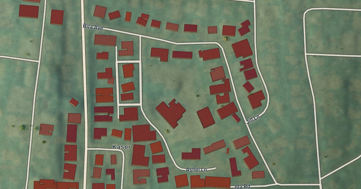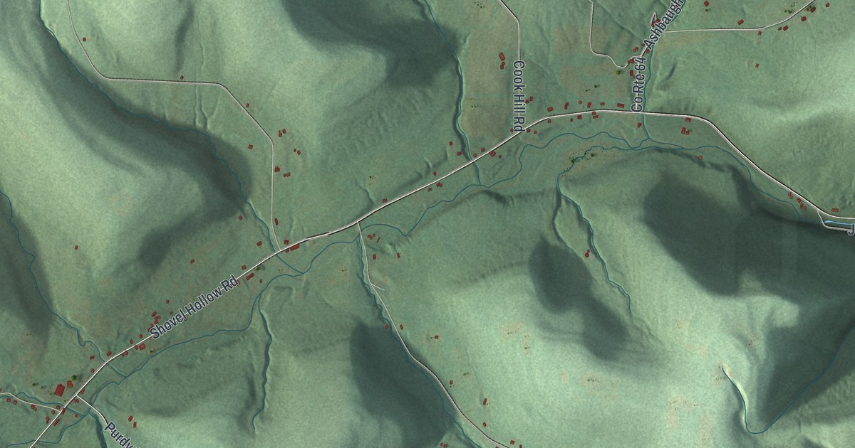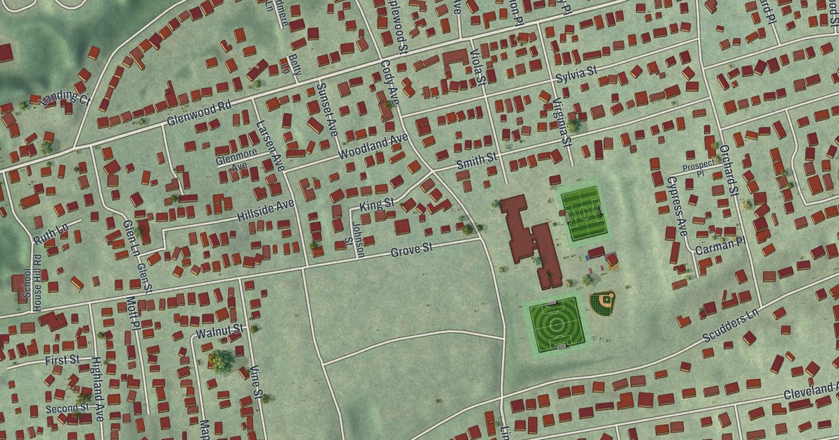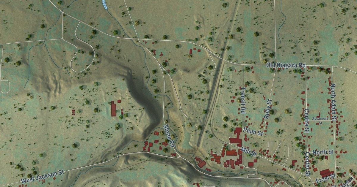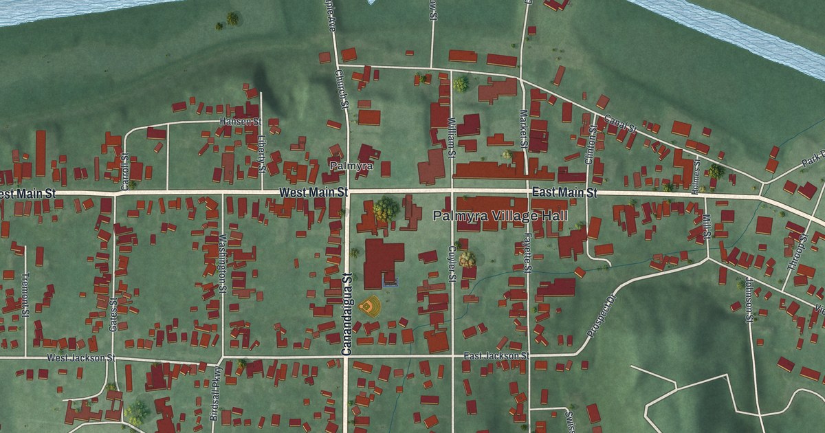
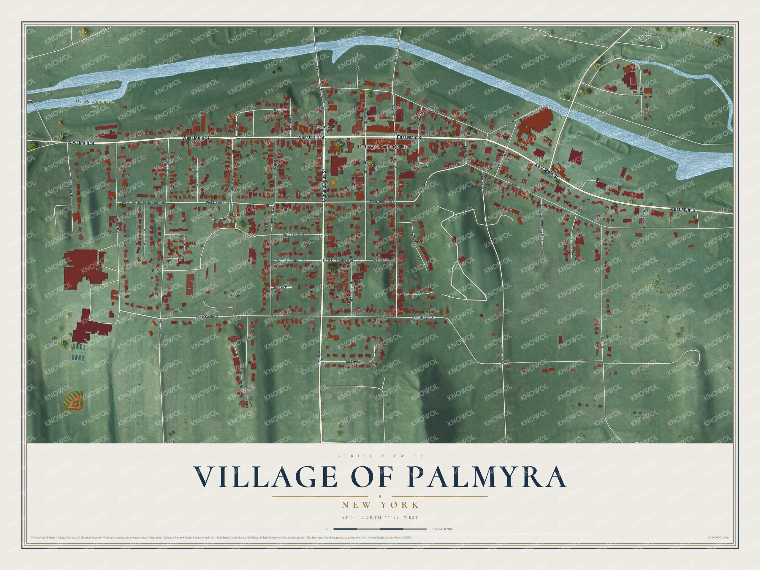
This beautifully detailed map of the Village of Palmyra, New York was created in 2026 using aerial imagery combined with modern topographical, census, street and landmark data. It’s a one-of-a-kind view of the Village of Palmyra that combines accurate data with a vintage aesthetic. The map shows every building in its true location, many of the roads carry their names, and the shaded topographic relief shows the shape of the land.
Explore an aerial view of the Village of Palmyra, New York
On the map you’ll find Palmyra Village Hall and Pal-Mac Aqueduct Park, along with Canandaigua Street, Main Street, Canandaigua Road, Prospect Drive, and more. If you look closely you can even find your house accurately drawn in its correct location. Zoom in on the preview to look for yours.
Did You Know?
John Swift founded this settlement in 1790, and it was first called Swift’s Landing for him. The village later took the name Palmyra, after the ancient city in present day Syria. It was incorporated under that name in 1827. By 1900 it had grown into a railroad and factory center.
Take a closer look at the Village of Palmyra map
Names on this map
These names are printed on this map.
Places: Palmyra Village Hall, Pal-Mac Aqueduct Park, Palmyra and Claremont Park.
Streets and roads: Canandaigua Street, East Main Street, West Main Street, Prospect Drive, Canal Street, East Jackson Street, West Foster Street, West Jackson Street, Market Street, Cuyler Street, East Charlotte Avenue, Kent Street.
More street names, A to Z
Aldrich Drive, Birdsall Parkway, Brookside Terrace, Bucknam Place, Burnham Heights, Canandaigua Road, Carroll Street, Church Street, Clinton Street, Crescent Drive, Dar Lind Lane, Division Street, East Foster Street, Fayette Street, Gates Street, Hansen Street, Hathaway Place, Holmes Street, Howell Street, Hyde Parkway, Johnson Road, Johnson Street, Laurentian Drive, Liberty Street, Maple Avenue, Mill Street, Palmyra Cemetery Extended, Park Drive, Salzburg Vlg, Spring Street, Stafford Road, Stafford Street, Sunset Drive, Swiss Chalet Drive, Throop Street, Tremont Street, Vienna Street, Walker Street, Washington Street, West Charlotte Avenue, West Jackson Street Extended, William Street, Willow Street.
See it on a wall
The Palmyra map as a framed print. Swipe for more.


This beautifully detailed map of the Village of Palmyra makes an attractive addition to your office, library, or den, and it can even be used to teach children the geography and history of the area. It also makes a great gift for someone who left the Village of Palmyra and still calls it home. When you’re done exploring, click here to get your copy of the Village of Palmyra map.