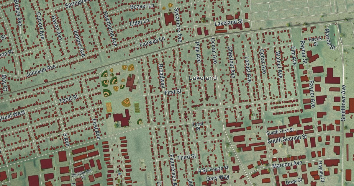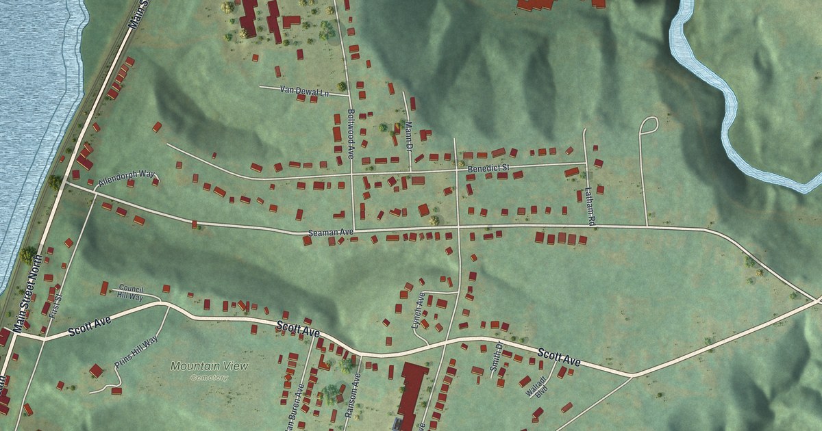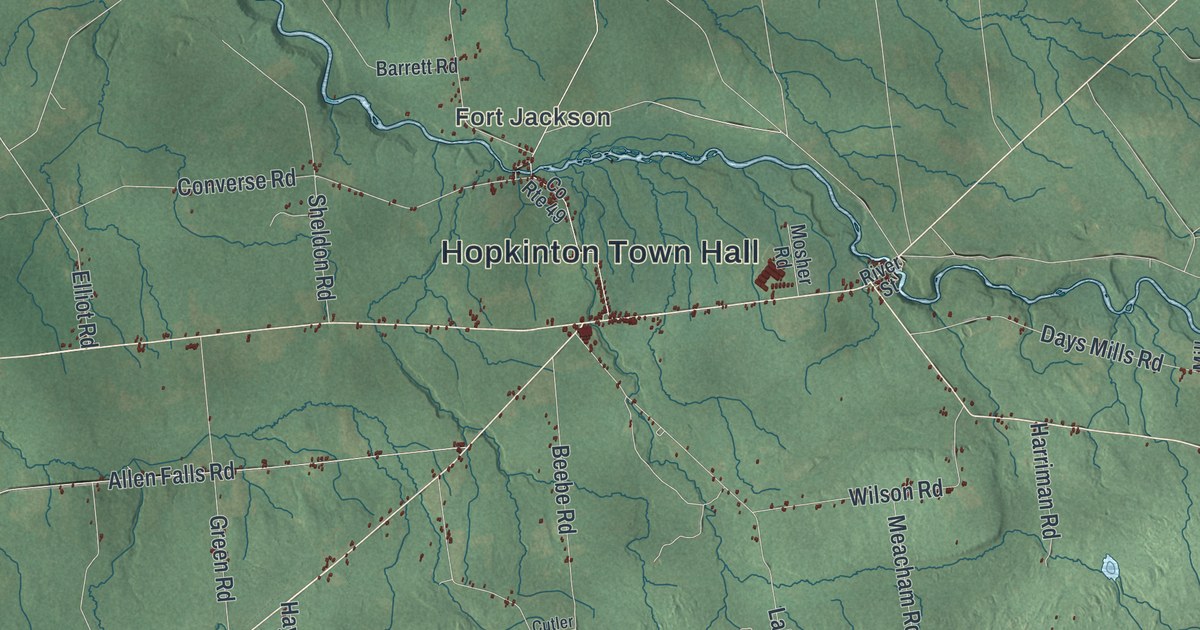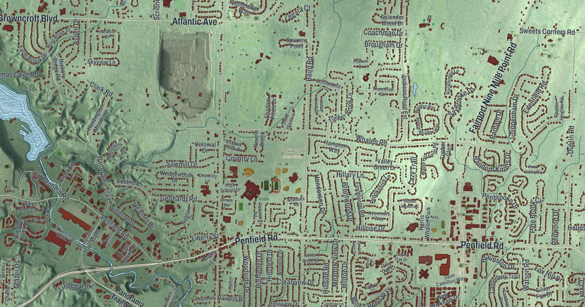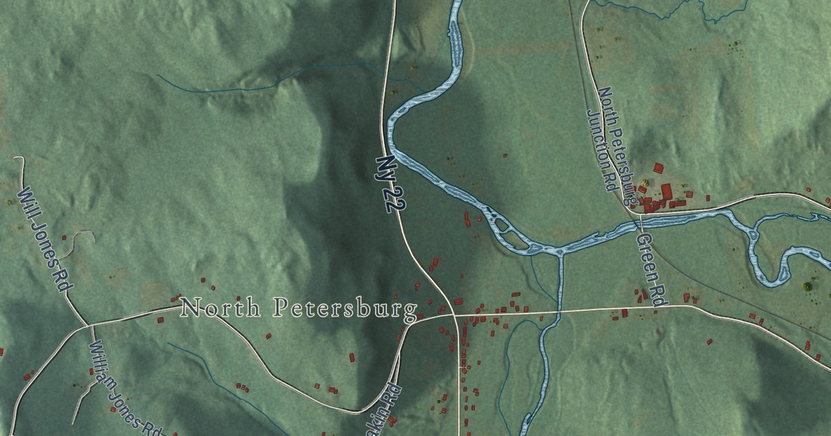
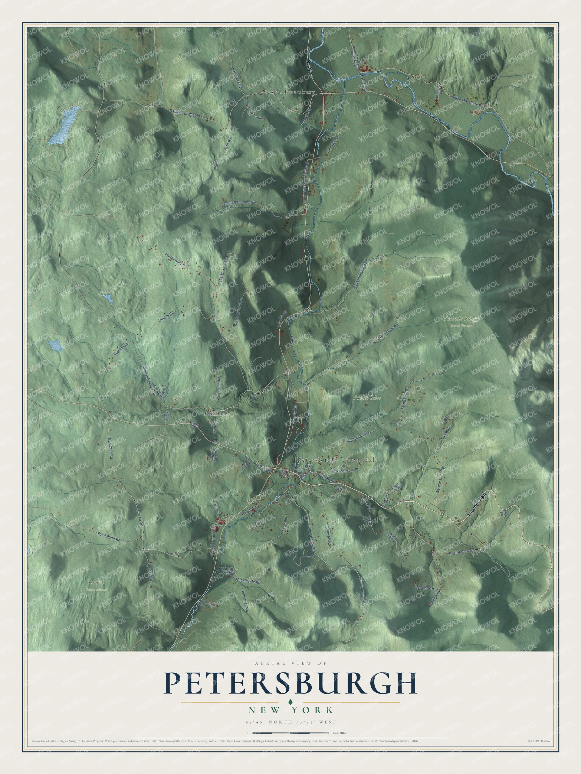
This beautifully detailed map of Petersburgh, New York was created in 2026 using aerial imagery combined with modern topographical, census, street and landmark data. It’s a one-of-a-kind view of Petersburgh that combines accurate data with a vintage aesthetic. The map shows every building in its true location, many of the roads carry their names, and the shaded topographic relief shows the shape of the land.
Explore an aerial view of Petersburgh, New York
On the map you’ll find Petersburgh Town Hall, North Petersburg, Stillham, Cowee State Forest, and Taconic Ridge State Forest, along with Taconic Trail, Hill Hollow Road, Main Street, Indian Massacre Road, and more. If you look closely you can even find your house accurately drawn in its correct location. Zoom in on the preview to look for yours.
Did You Know?
Petersburgh takes its name from Peter Simmons, one of its early settlers. Settlers came around the middle of the 1700s, when the land belonged to the Manor of Rensselaerswyck. The town was carved out of Stephentown in 1791.
Take a closer look at the Petersburgh map
Names on this map
These names are printed on this map.
Places: Petersburgh Town Hall, North Petersburg, Cowee State Forest, Moon Hill, Taconic Ridge State Forest and Stillham.
Streets and roads: Taconic Trail, Ny 22, Hill Hollow Road, Main Street, Indian Massacre Road, Rabbit College Road, Will Jones Road, Prosser Hollow Road, Cold Spring Road, Stillman Village Road, Smith Road, Lewis Hollow Road.
More street names, A to Z
Armsby Road, Avery Hill Road, Babcock Road, Brimmer Bridge Road, Broken Wheel Road, Canfield Road, Church Hollow Road, Coon Brook Road, Dayfoot Road, Deakin Road, Depot Road, Dill Brook Road, East Hollow Road, Fox Way, Fred Moon Road, Goodell Road, Green Road, Gun Club Road, Harold Brock Road, Hemstead Road, Hewitt Road, Hyde Park Place, Jess Maxon Road, Johnny Cake Hill Road, Jones Hollow Road, Leahs Road, Luke Maxon Way, Maxon Road, Melchoir Road, Moon Road, Moses Road, North Petersburg Junction Road, Old State Route 22, Olneys Road, Phillips Road, Pickleville Road, Poplar Hill Way, Potter Hill Road, Puckertoot Road, Reynolds Road, River Road, Ross Way, Russell Road, Sangster Road, Scriven Road, Star Ridge Way, Stewart Road, Thistle Hill Road, Tifft Road, Toad Point Road, Twin Hill Road, Varville Road, Weaver Dam Road, Webster Road, Wilcox Road, Willbrant Road, William Jones Road, Wose Road.
See it on a wall
The Petersburgh map as a framed print. Swipe for more.


This beautifully detailed map of Petersburgh makes an attractive addition to your office, library, or den, and it can even be used to teach children the geography and history of the area. It also makes a great gift for someone who left Petersburgh and still calls it home. When you’re done exploring, click here to get your copy of the Petersburgh map.