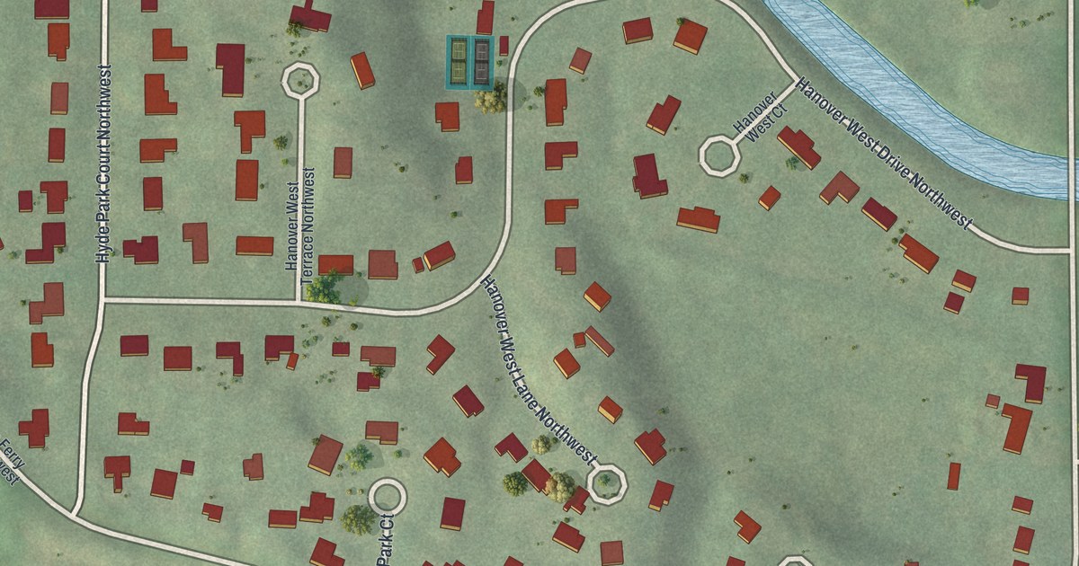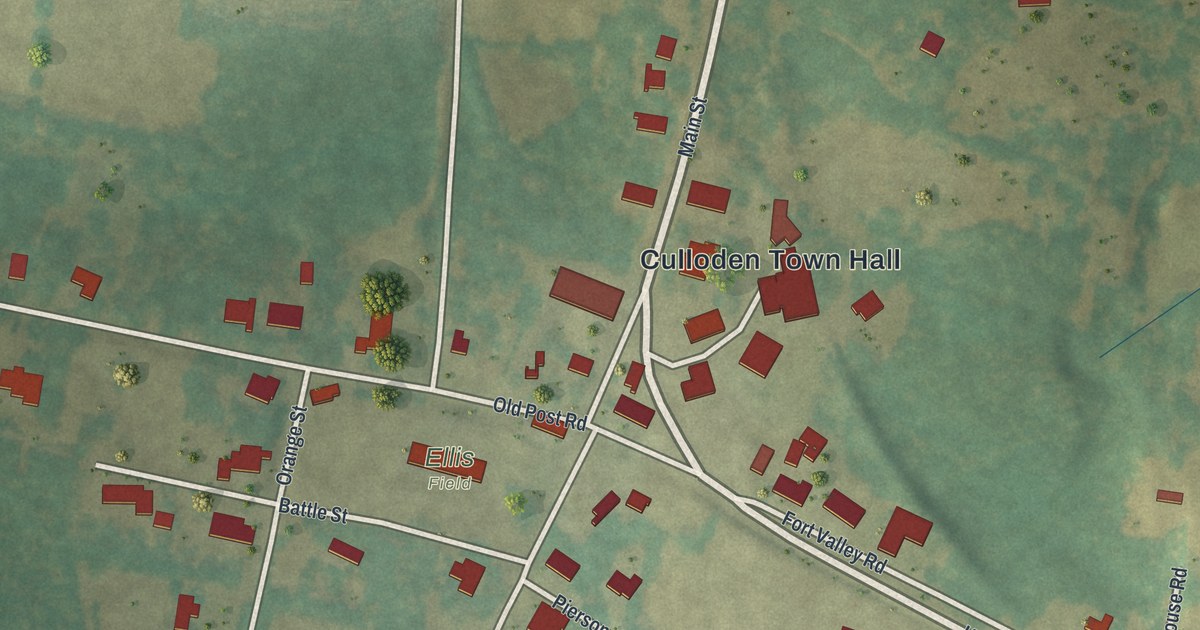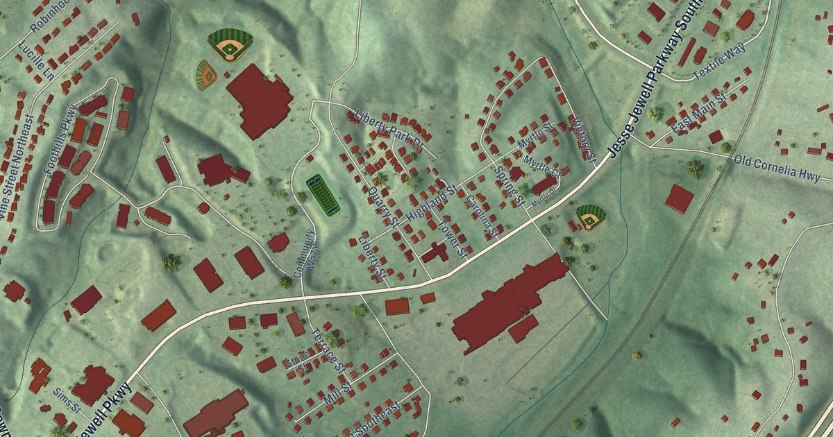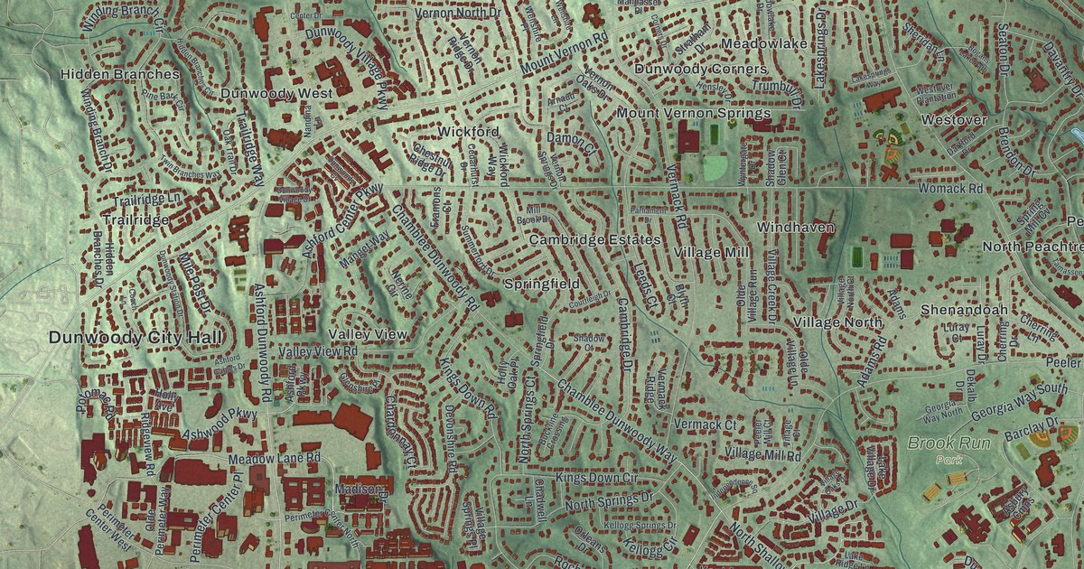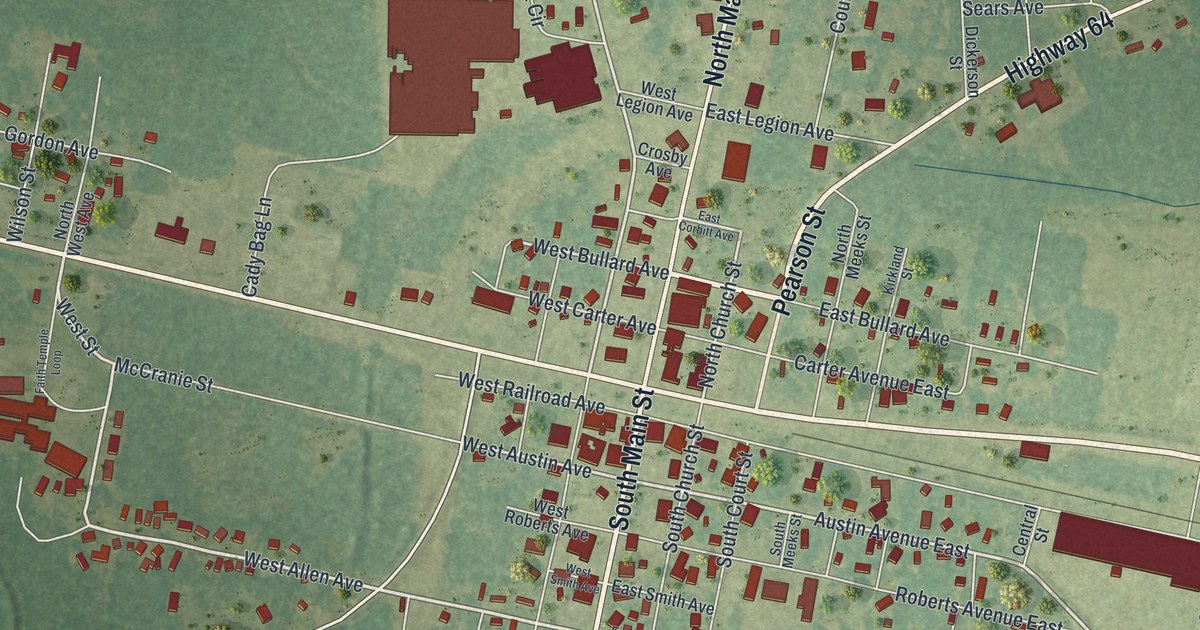
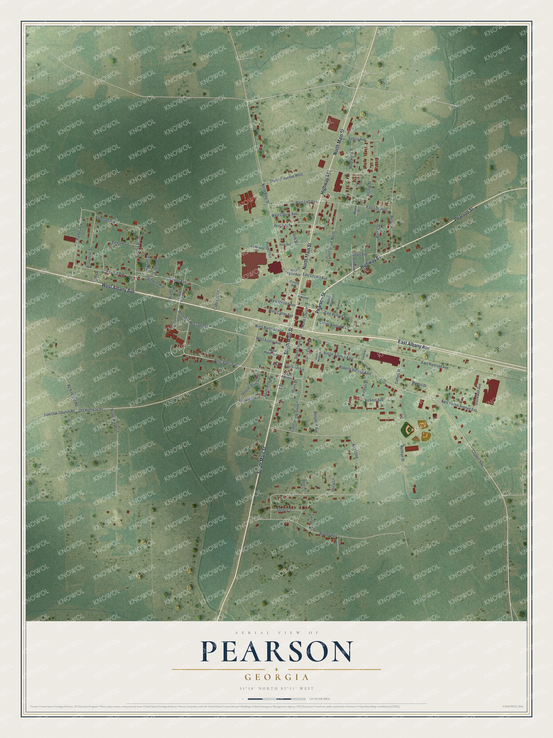
This beautifully detailed map of Pearson, Georgia was created in 2026 using aerial imagery combined with modern topographical, census, street and landmark data. It’s a one-of-a-kind view of Pearson that combines accurate data with a vintage aesthetic. The map shows every building in its true location, many of the roads carry their names, and the shaded topographic relief shows the shape of the land.
Explore an aerial view of Pearson, Georgia
On the map you’ll find Albany Avenue, Main Street, Pearson Street, Allen Avenue, Austin Avenue, and more. If you look closely you can even find your house accurately drawn in its correct location. Zoom in on the preview to look for yours.
Did You Know?
The city began in 1875 as a railroad depot. The line was the Brunswick and Western. It was named after Benajah Pearson, who had fought in the Second Seminole War. It became a town in 1890 and a city in 1916. Today it serves as the seat of Atkinson County.
Take a closer look at the Pearson map
Names on this map
These names are printed on this map.
Streets and roads: East Albany Avenue, Highway 64, West Albany Avenue, South Main Street, North Main Street, Pearson Street, Highway 441, West Allen Avenue, Austin Avenue East, Cogdell Highway, West Street, North King Street.
More street names, A to Z
Bailey Street, Benjamin Avenue, Beth Lane, Bolden Avenue, Bp Kirkland Road, Broughton Street, Byron Street, Cady Bag Lane, Carter Avenue East, Castlewood Street, Cemetery Drive, Central Street, Collins Street, Court Street North, Court Street South, Crosby Avenue, Dickerson Street, Douglas Street South, East Allen Avenue, East Austin Avenue Extension, East Bullard Avenue, East Corbitt Avenue, East Legion Avenue, East Lott Avenue, East Railroad Avenue, East Smith Avenue, Edward Avenue, Edward Circle, Elizabeth Avenue, Faith Temple Loop, Felicia Avenue, Fraide Street, Gaskins Avenue, Gordon Avenue, Graham Street, Joseph Street, Kira Loop, Kirkland Street, Live Oak Church Road, Mancil Drive, Mavis Drive, McCranie Street, McNeal Avenue West, Moore Drive, North Church Street, North Meeks Street, North West Avenue, Old Highway 64, Parker Street, Paulk Street, Peach Avenue, Philip Lane, Pine Avenue, Pittman Street, Project Circle, Rawls Street, Relihan Street, Roberts Avenue East, Rosewood Street, Sears Avenue, Sherman Avenue, South Church Street, South Court Street, South King Street, South Meeks Street, Stockwell Avenue, Stone Circle, Twin Oaks, Vickers Avenue, Victory Street, Virginia Street, Wall Avenue, Waste Water Lane, West Austin Avenue, West Bullard Avenue, West Carter Avenue, West Cherry Avenue, West Legion Avenue, West Lott Avenue, West Railroad Avenue, West Roberts Avenue, West Smith Avenue, Wilson Street.
See it on a wall
The Pearson map as a framed print. Swipe for more.


This beautifully detailed map of Pearson makes an attractive addition to your office, library, or den, and it can even be used to teach children the geography and history of the area. It also makes a great gift for anyone who grew up in Pearson or moved away. When you’re done exploring, click here to get your copy of the Pearson map.