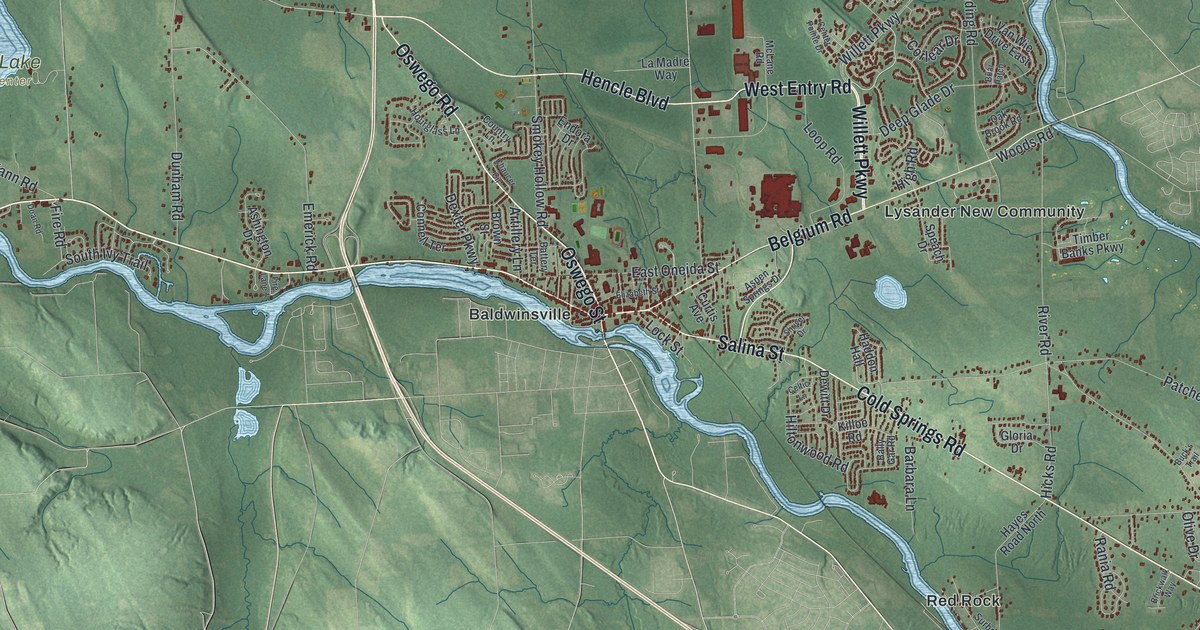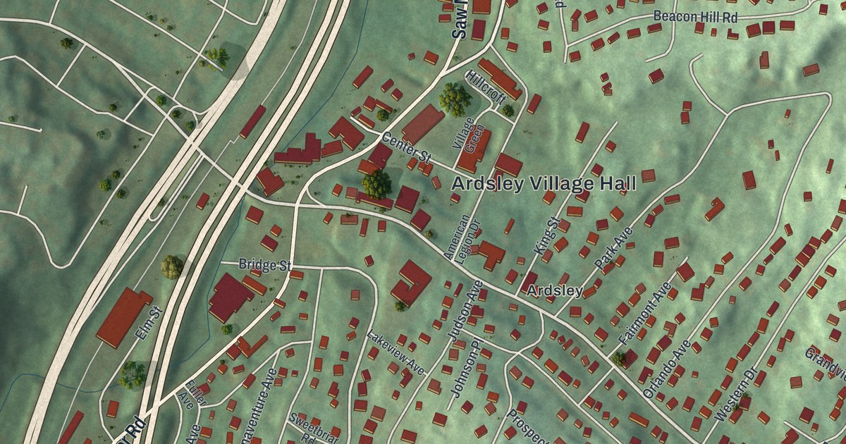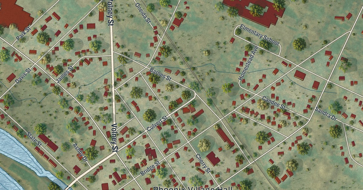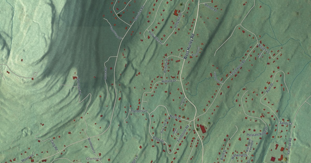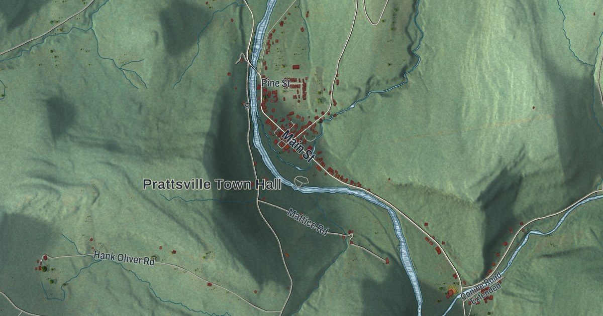
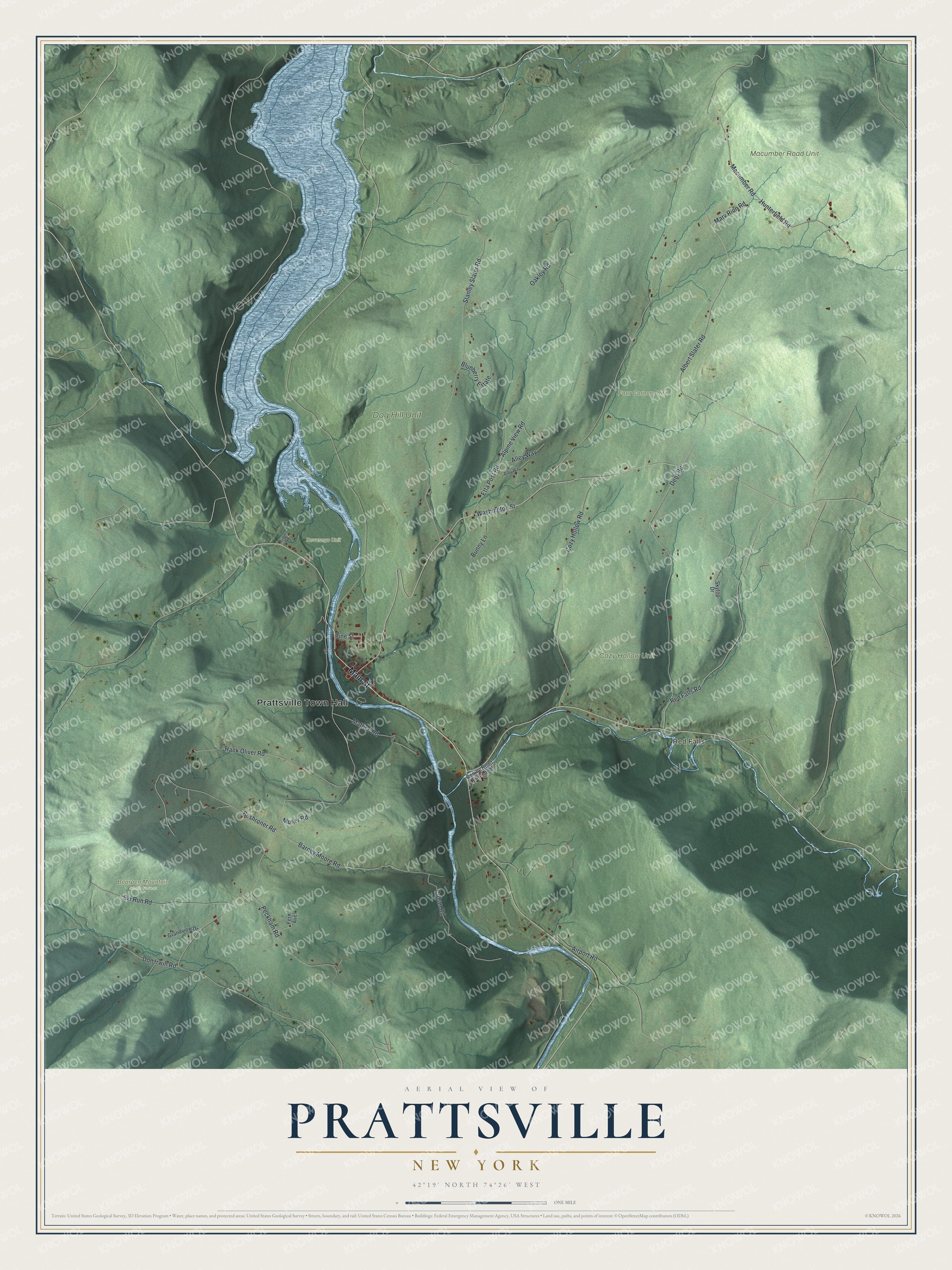
This beautifully detailed map of Prattsville, New York was created in 2026 using aerial imagery combined with modern topographical, census, street and landmark data. It’s a one-of-a-kind view of Prattsville that combines accurate data with a vintage aesthetic. The map shows every building in its true location, many of the roads carry their names, and the shaded topographic relief shows the shape of the land.
Explore an aerial view of Prattsville, New York
On the map you’ll find Prattsville Town Hall, Red Falls, and Bearpen Mountain State Forest, along with Main Street, Washington Street, Albert Slater Road, Marv Rion Road, and more. If you look closely you can even find your house accurately drawn in its correct location. Zoom in on the preview to look for yours.
Did You Know?
Prattsville is named for Zadock Pratt, a congressman and leading citizen. He built a tannery bigger than any other on earth at the time. Its jobs helped the population climb to 1,989 by 1850. By 1845 the hemlock bark for ten miles around was gone, and Pratt had to close the tannery.
Take a closer look at the Prattsville map
Names on this map
These names are printed on this map.
Places: Prattsville Town Hall, Red Falls, Bearpen Mountain State Forest, Cozy Hollow Unit, Devasego Unit, Dog Hill Unit, Four Corners Unit and Macumber Road Unit.
Streets and roads: Main Street, Washington Street, Albert Slater Road, Marv Rion Road, Macumber Road, Stanley Slater Road, Dent Road, Cozy Hollow Road, Beshroner Road, Barney Moore Road, Hank Oliver Road, Ski Run Road.
More street names, A to Z
Airport Road, Alby Way, Alley Way, Alpine View Road, Blueberry Estate, Bunny Lane, Cohan Road, Conine Road Extended, Don Irwin Road, Drive, Etta Post Road, Fern Avenue, Grandview Drive, Hunterfield Road, Mattice Road, Muller Road, Oakley Road, Peckham Road, Pine Street, Red Falls Road, Skytop Drive, Timm Road.
See it on a wall
The Prattsville map as a framed print. Swipe for more.


This beautifully detailed map of Prattsville makes an attractive addition to your office, library, or den, and it can even be used to teach children the geography and history of the area. It also makes a great gift for anyone who grew up in Prattsville or moved away. When you’re done exploring, click here to get your copy of the Prattsville map.