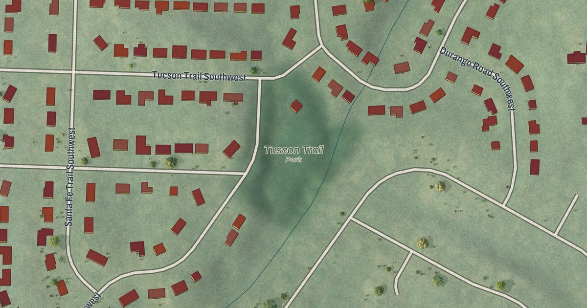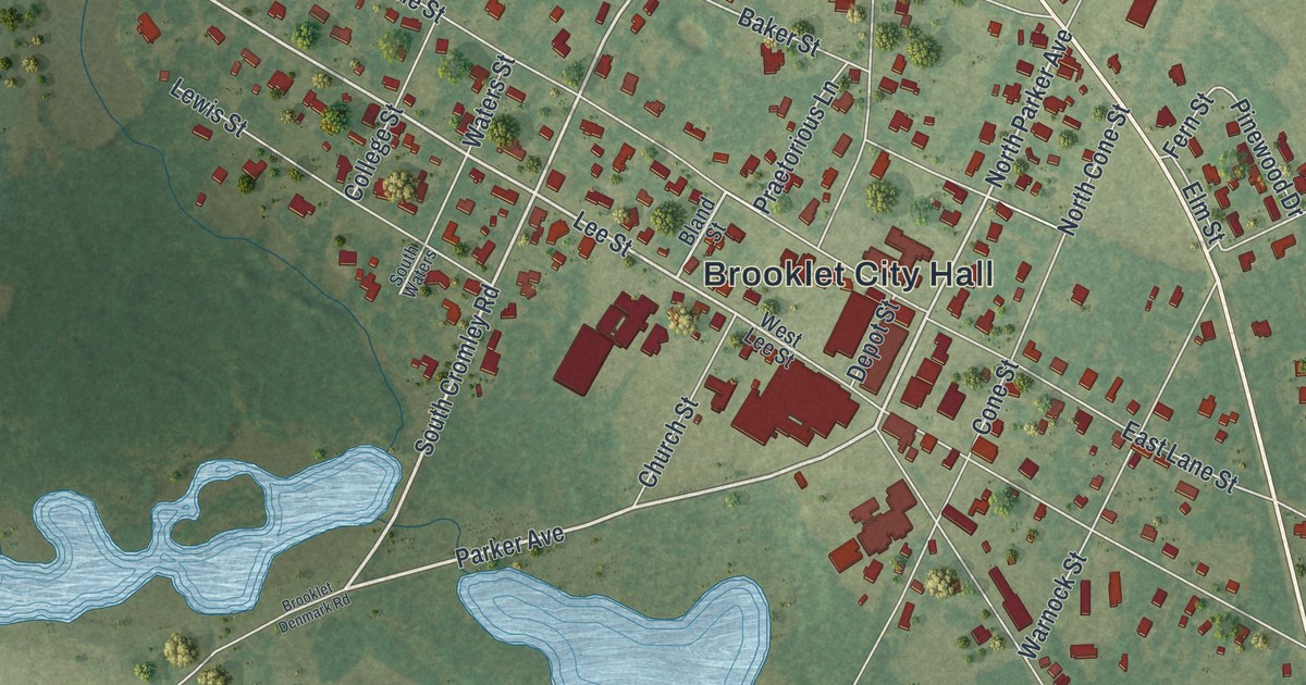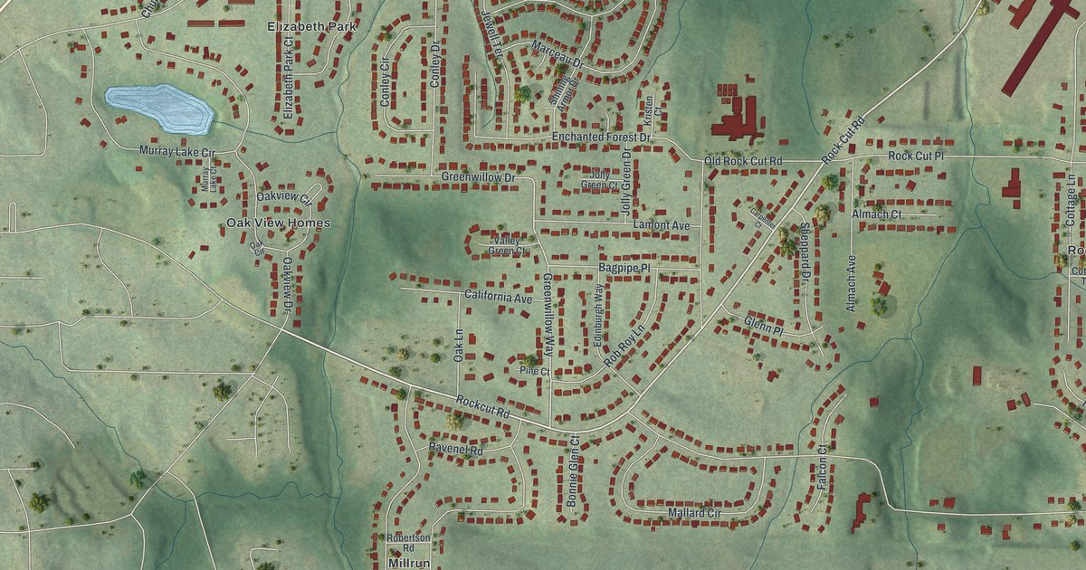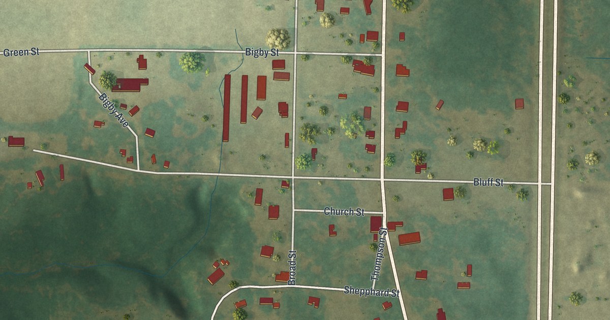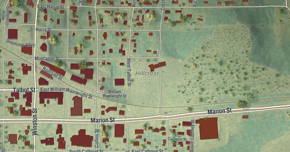
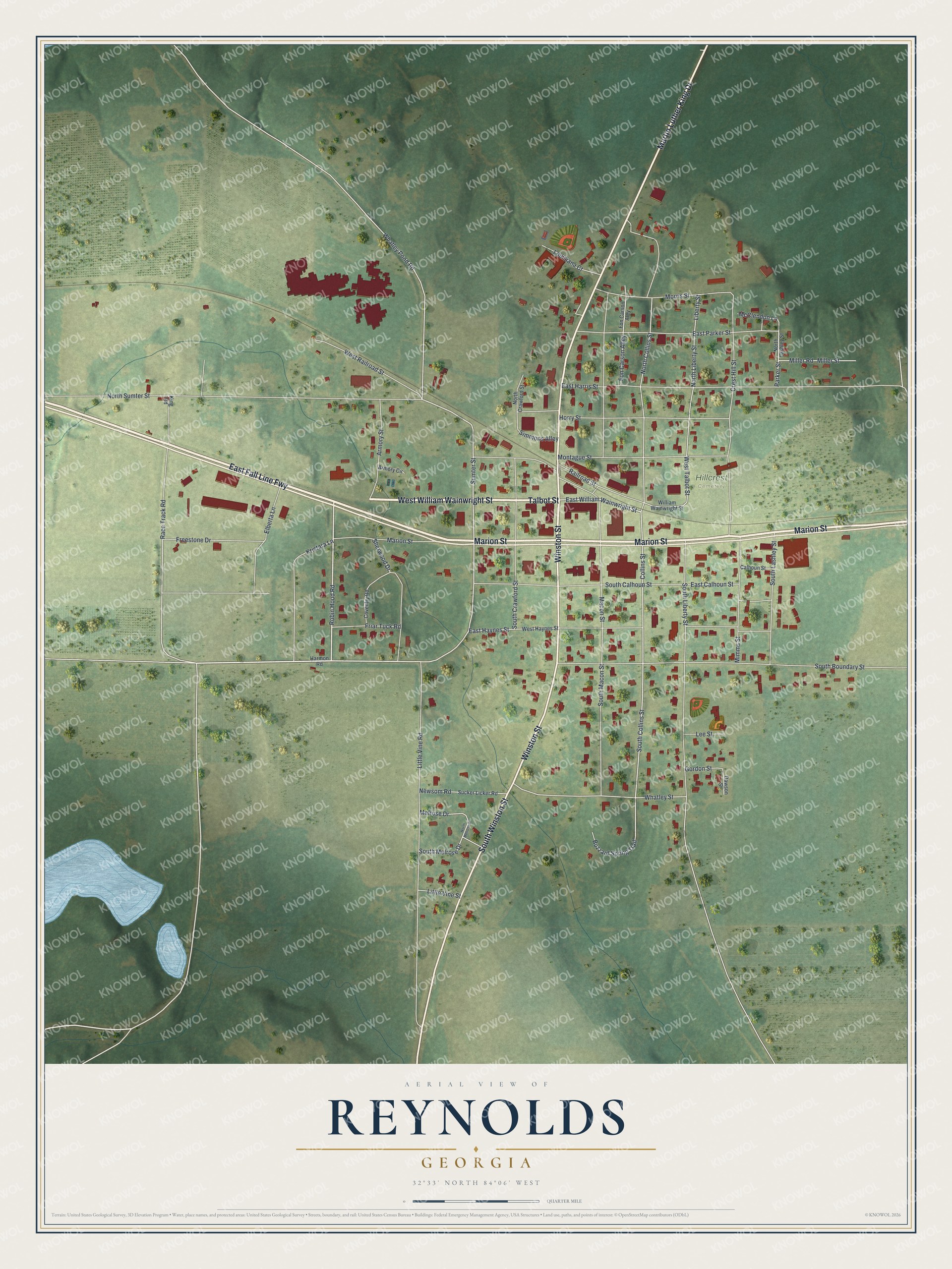
This beautifully detailed map of Reynolds, Georgia was created in 2026 using aerial imagery combined with modern topographical, census, street and landmark data. It’s a one-of-a-kind view of Reynolds that combines accurate data with a vintage aesthetic. The map shows every building in its true location, many of the roads carry their names, and the shaded topographic relief shows the shape of the land.
Explore an aerial view of Reynolds, Georgia
On the map you’ll find Hillcrest Cemetery, along with Marion Street, Talbot Street, William Wainwright Street, Martin Luther King Drive, and more. If you look closely you can even find your house accurately drawn in its correct location. Zoom in on the preview to look for yours.
Did You Know?
Reynolds was first settled by Dr. Colman. The town was named after L. C. Reynolds. It grew up on the Columbus branch of the Southwestern Railroad, 13 miles from Fort Valley. That’s from the 1855 Historical Collections of Georgia.
Take a closer look at the Reynolds map
Names on this map
These names are printed on this map.
Places: Hillcrest Cemetery.
Streets and roads: East Fall Line Fwy, Marion Street, Talbot Street, West William Wainwright Street, Martin Luther King Drive, Winston Street, South Winston Street, Robin Hood Road, South Boundary Street, Sumter Street, East William Wainwright Street, South Collins Street.
More street names, A to Z
Armory Circle, Armory Street, Buzzard Spring Trail, Calhoun Street, Collins Street, Coventry Road, Crest Hill Street, Dawson Street, East Calhoun Street, East Harris Street, East Haynes Street, East Parker Street, Elberta Lane, Fon Carson Aley, Fon Carson Alley, Freestone Drive, Friar Tuck Road, Gordon Street, Harmon Road, Horry Street, King Road, Kristara Lane, Lee Street, Liberty Street, Little Vine Road, Little Vine Street, Louisiana Court, Macon Street, McClendon Lane, Melrose Drive, Miller Road, Miller Street, Mimms Street, Montague Street, Morris Street, Newsom Road, North Collins Street, North Crawford Street, North Lashley Street, North Liberty Street, North Melrose Drive, North Sumter Street, Parker Street, Race Track Road, Railroad Street, Sherwood Drive, Simmons Alley, South Calhoun Street, South Crawford Street, South Lashley Street, South Liberty Street, South Macon Street, South Melrose Drive, Sucker Licker Road, West Haynes Street, West Railroad Street, West Talbot Street, Whatley Pond Road, Whatley Street, William Wainwright Street.
See it on a wall
The Reynolds map as a framed print. Swipe for more.


This beautifully detailed map of Reynolds makes an attractive addition to your office, library, or den, and it can even be used to teach children the geography and history of the area. It also makes a great gift for anyone with Reynolds roots. When you’re done exploring, click here to get your copy of the Reynolds map.