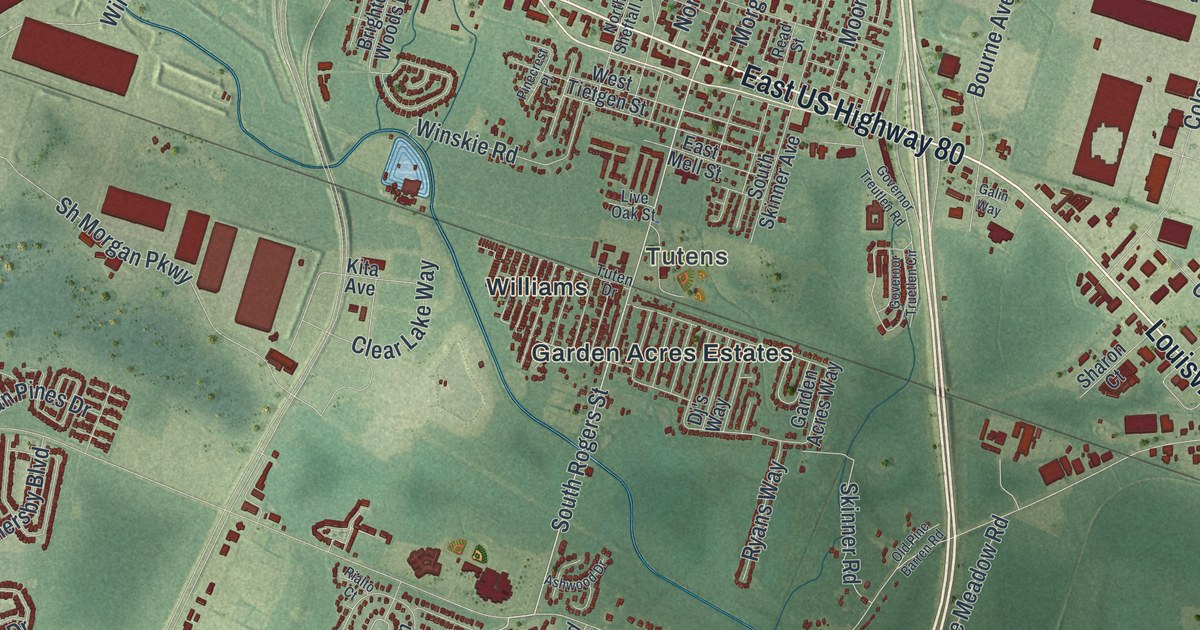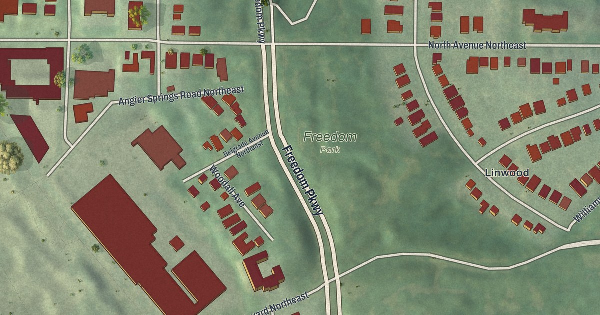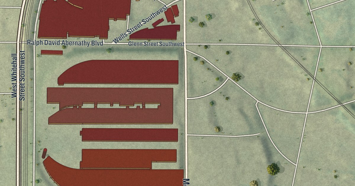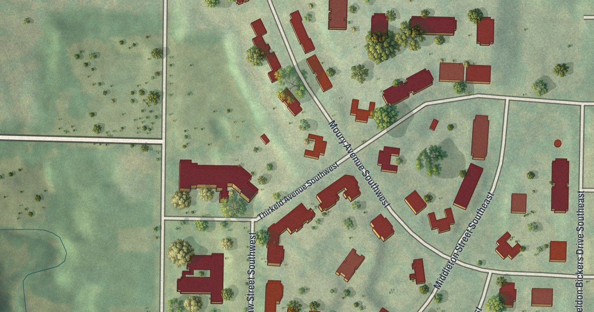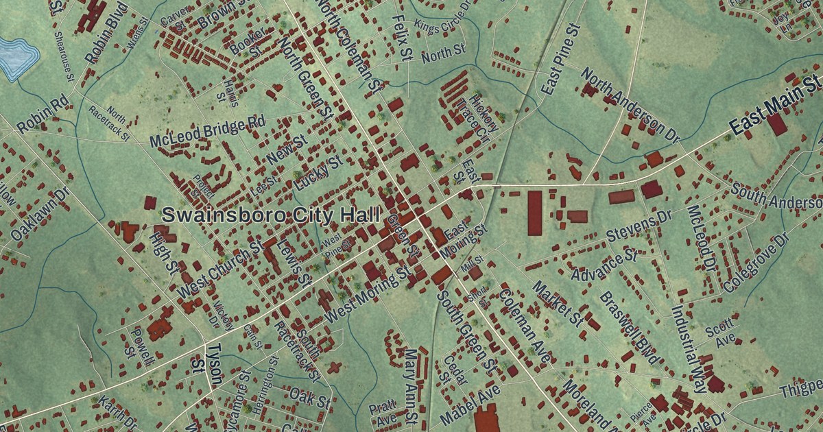
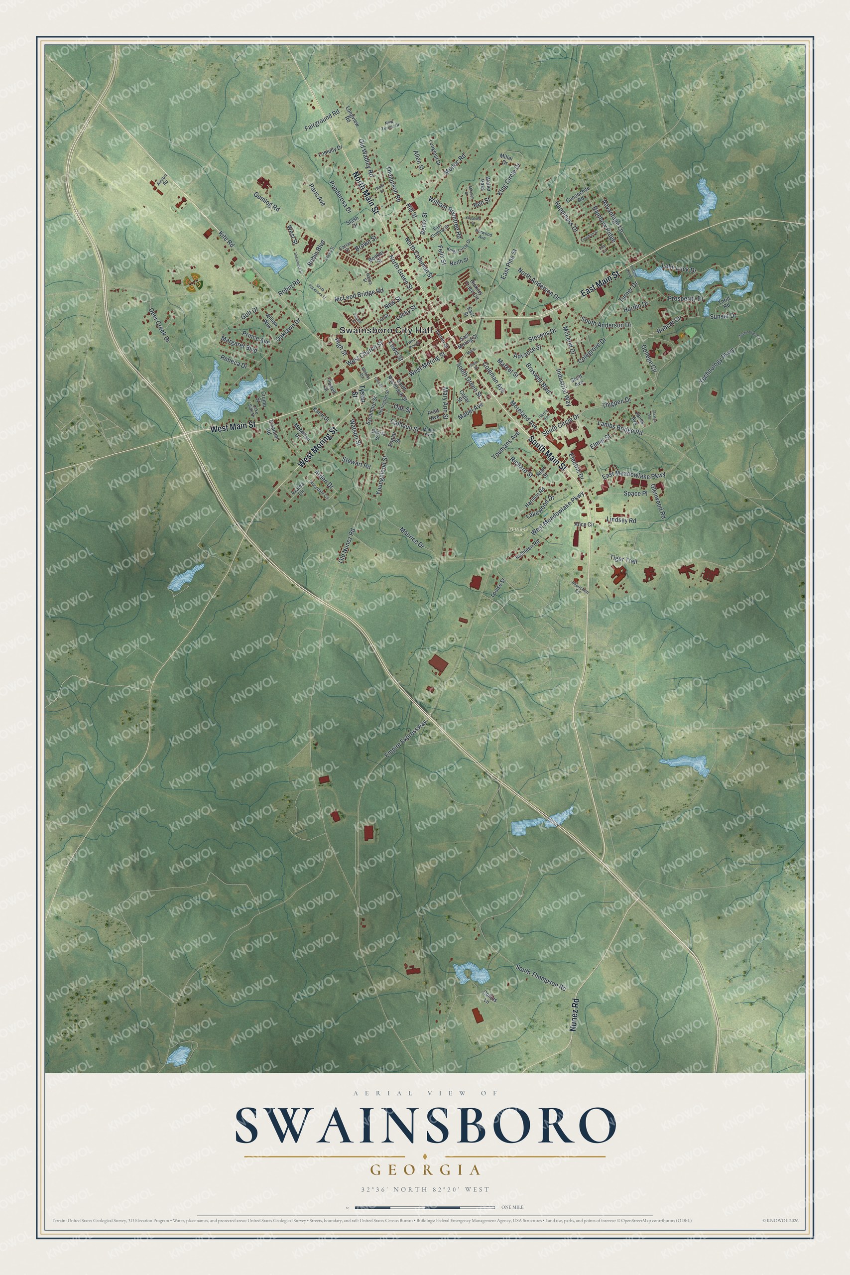
This beautifully detailed map of Swainsboro, Georgia was created in 2026 using aerial imagery combined with modern topographical, census, street and landmark data. It’s a one-of-a-kind view of Swainsboro that combines accurate data with a vintage aesthetic. The map shows every building in its true location, many of the roads carry their names, and the shaded topographic relief shows the shape of the land.
Explore an aerial view of Swainsboro, Georgia
On the map you’ll find Swainsboro City Hall and Harmon Park, along with Main Street, Nunez Road, Moring Street, Tyson Street, and more. If you look closely you can even find your house accurately drawn in its correct location. Zoom in on the preview to look for yours.
Did You Know?
Swainsboro honors Stephen Swain, the state senator whose 1812 bill created Emanuel County. Lawmakers made the town the county seat in 1822. When it was incorporated in 1854, its name was changed to Paris. Three years later the town took back the name Swainsboro.
Take a closer look at the Swainsboro map
Names on this map
These names are printed on this map.
Places: Swainsboro City Hall and Harmon Park.
Streets and roads: South Main Street, West Main Street, East Main Street, North Main Street, Nunez Road, West Moring Street, Kite Road, Bobcat Circle, North Coleman Street, Thigpen Drive, South Anderson Drive, Hill Street.
More street names, A to Z
Advance Street, Advantage Lane, Airport Road, Alice Circle, Allen Street, Arden Drive, Azalea Circle, Ben Street, Booker Street, Braswell Boulevard, Brown Street, Cain Street, Calhoun Street, Canoochee Road, Carver Street, Cedar Street, Claxton Avenue, Colegrove Drive, Coleman Avenue, College Circle, Collins Lane, Crump Street, Deer Creek Drive, East Gumlog Street, East Meadowlake Parkway, East Moring Street, East Pine Street, East Street, Electric Drive, Elmer Street, Emanuel Road, Empire Expressway, Fairground Road, Felix Street, Fortune Loop, Freedom Street, Glenwood Road, Gloria Street, Golf Drive, Grady Street, Green Street, Gumlog Road, Happiness Drive, Hardin Drive, Harmon Road, Harris Street, Herrington Street, Hickory Trace Circle, High Street, Industrial Way, Injunction Road, Jones Avenue, Joy Lane, Karrh Drive, Kathleen Road, Kilpatrick Street, King Circle Drive, Kings Circle Drive, Lake Luck Drive, Lake Side Drive, Lakewood Drive, Lambs Bridge Road, Lee Street, Lewis Street, Lindsey Road, Loblolly Drive, Longleaf Drive, Longview Road, Louise Street, Lucky Street, Mabel Avenue, Mable Avenue, Margaret Boulevard, Market Street, Mary Ann Street, Maurice Drive, McLeod Bridge Road, McLeod Drive, McMillan Drive, Miller Drive, Mill Street, Mitchell Street, Modoc Road, Moreland Avenue, Neal Street, New Street, New Turner Drive, North Anderson Drive, North Green Street, North Racetrack Street, North Street, Norwood Avenue, Oaklawn Drive, Oak Street, Old Nunez Road, Old Wadley Road, Paris Avenue, Pierce Avenue, Ponderosa Drive, Poplar Street, Powell Street, Pratt Avenue, Prince Avenue, Project Street, Prosperity Drive, Rainbow Ridge, Rebeca Drive, Rentz Street, Richard Street, Robin Boulevard, Robin Road, Rosedale Circle, Scott Avenue, Shearouse Street, Short Street, Slash Drive, South Circle Drive, South Green Street, South Racetrack Street, South Thompson Road, Space Place, Stevens Drive, Stewart Road, Sunset Drive, Sycamore Street, Technology Circle, Technology Parkway, Thompson Road, Thrift Road, Tiger Trail, Turner Drive, Tyson Street, Victory Drive, Waller Pass, Watson Street, West Church Street, West Meadowlake Parkway, West Pine Street, West Street, William Rountree Road, Willow Way, Wrens Street, Youmans Avenue, Youngblood Street.
See it on a wall
The Swainsboro map as a framed print. Swipe for more.


This beautifully detailed map of Swainsboro makes an attractive addition to your office, library, or den, and it can even be used to teach children the geography and history of the area. It also makes a great gift for someone who left Swainsboro and still calls it home. When you’re done exploring, click here to get your copy of the Swainsboro map.