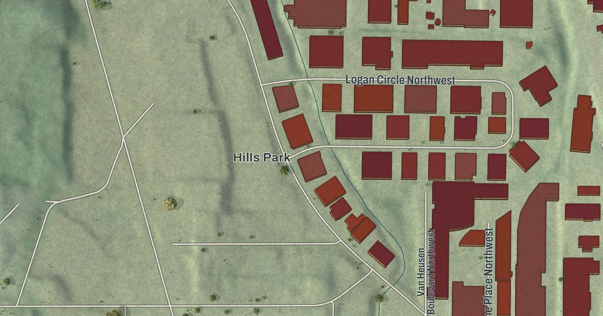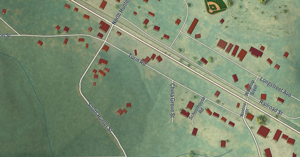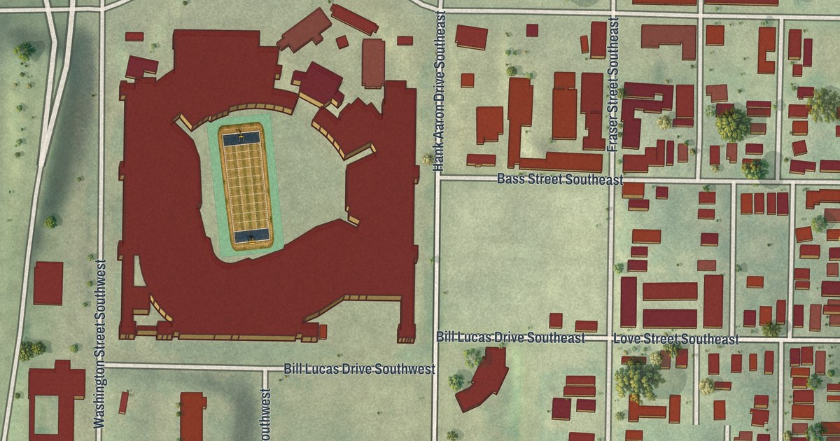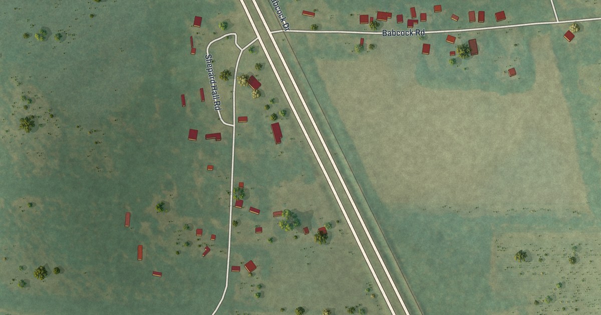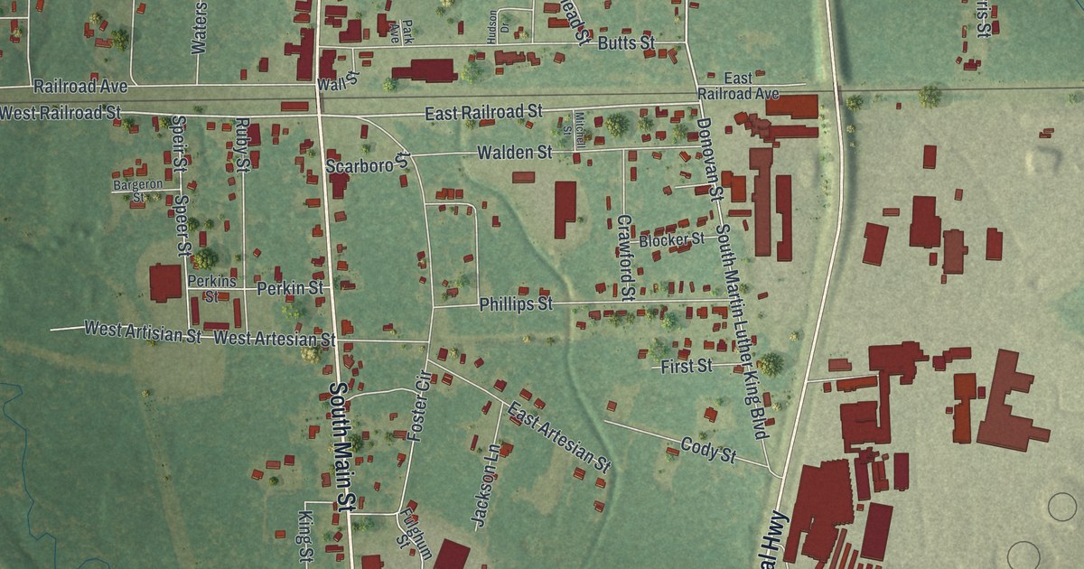
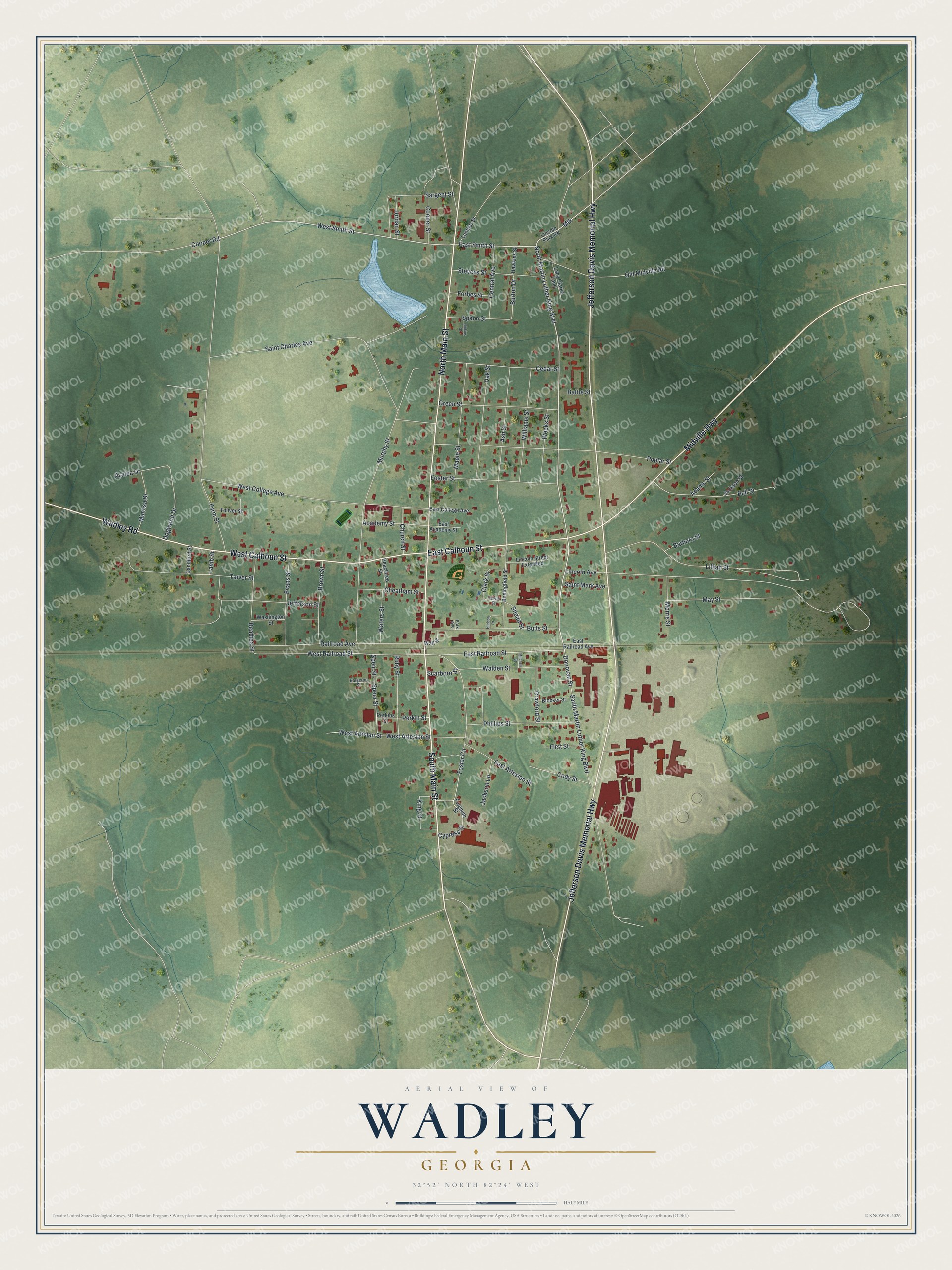
This beautifully detailed map of Wadley, Georgia was created in 2026 using aerial imagery combined with modern topographical, census, street and landmark data. It’s a one-of-a-kind view of Wadley that combines accurate data with a vintage aesthetic. The map shows every building in its true location, many of the roads carry their names, and the shaded topographic relief shows the shape of the land.
Explore an aerial view of Wadley, Georgia
On the map you’ll find Main Street, Calhoun Street, Jefferson Davis Memorial Highway, Midville Highway, Wadley Road, and more. If you look closely you can even find your house accurately drawn in its correct location. Zoom in on the preview to look for yours.
Did You Know?
In 1873, William Donovan ran a sawmill near the Central Railroad. He laid a tram road from his mill to a rail stop then called Shake Rag. Donovan saw a future shipping point there and planned a town. With Judge A. E. Tarver, he deeded land to the railroad, which built a freight house and side tracks. That’s from the 1927 History of Jefferson County.
Take a closer look at the Wadley map
Names on this map
These names are printed on this map.
Streets and roads: South Main Street, West Calhoun Street, East Calhoun Street, Jefferson Davis Memorial Highway, North Main Street, Midville Highway, Wadley Road, North Martin Luther King Boulevard, Mlk, East Smith Street, West Smith Street, East Railroad Street.
More street names, A to Z
Academy Street, Adams Street, Ash Street, Azalea Drive, Barbara Street, Bargeron Street, Battle Street, Beathea Street, Bedingfield Street, Bell Street, Blocker Street, Brown Street, Burton Drive, Butts Street, Cedar Street, Central Avenue, Cheatham Street, Church Street, Clark Street, Cody Street, Cooper Road, Cooper Street, Crawford Street, Cypress Street, Dogwood Drive, Donovan Street, East Academy Street, East Artesian Street, East College Avenue, East Railroad Avenue, Evans Street, Farm Street, First Street, Forbes Street, Foster Circle, Foster Street, Fulghum Street, Green Street, Hawkins Street, Hinkins Street, Hudson Drive, Jackson Lane, Jackson Street, Jefferson Street, Jordan Street, King Street, Lacy Clarke Land, Lamb Street, Lewis Street, Lillian Street, Lincoln Avenue, Lincoln Park Road, Lincoln Street Extended, Lumber Street, Maple Street, May Street, Mimosa Drive, Mitchell Street, Morris Street, Murphy Street, Oak Street, Old Midville Road, Park Avenue, Peachtree Street, Perkins Street, Perkin Street, Phillips Street, Poplar Street, Railroad Avenue, Ruby Street, Saint Charles Avenue, Saint Mark Avenue, Sandford Street, Sargent Street, Scarboro Street, Snead Street, South Martin Luther King Boulevard, Spann Street, Speer Street, Speir Street, Stevens Street, Tarver Street, Toliver Street, Walden Street, Wall Street, Washington Street, Waters Street, Weeks Street, West Artesian Street, West Artisian Street, West College Avenue, West Railroad Street, Williams Street.
See it on a wall
The Wadley map as a framed print. Swipe for more.


This beautifully detailed map of Wadley makes an attractive addition to your office, library, or den, and it can even be used to teach children the geography and history of the area. It also makes a great gift for someone who left Wadley and still calls it home. When you’re done exploring, click here to get your copy of the Wadley map.