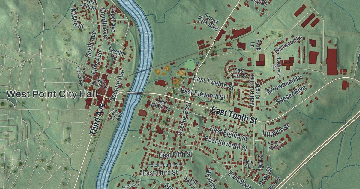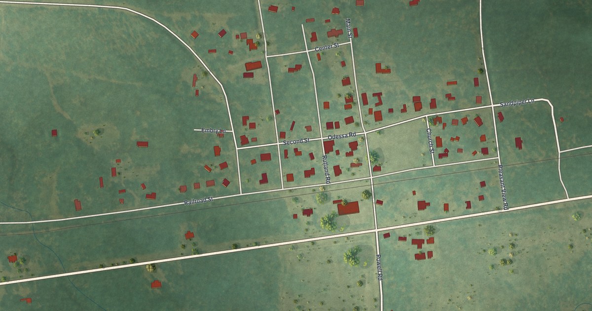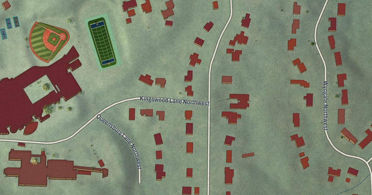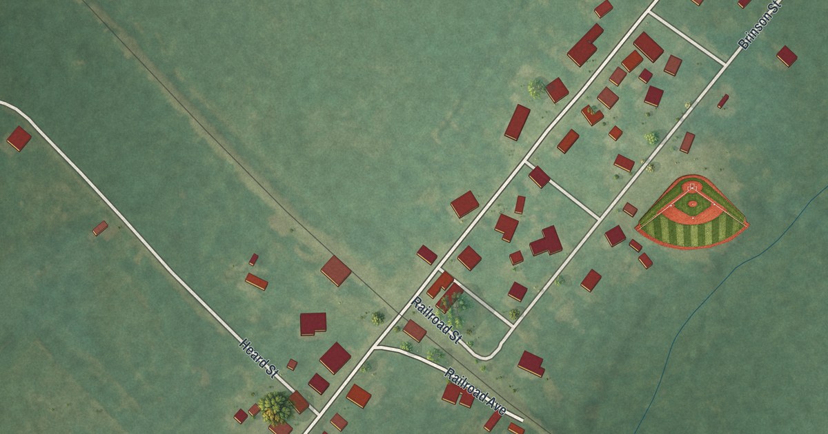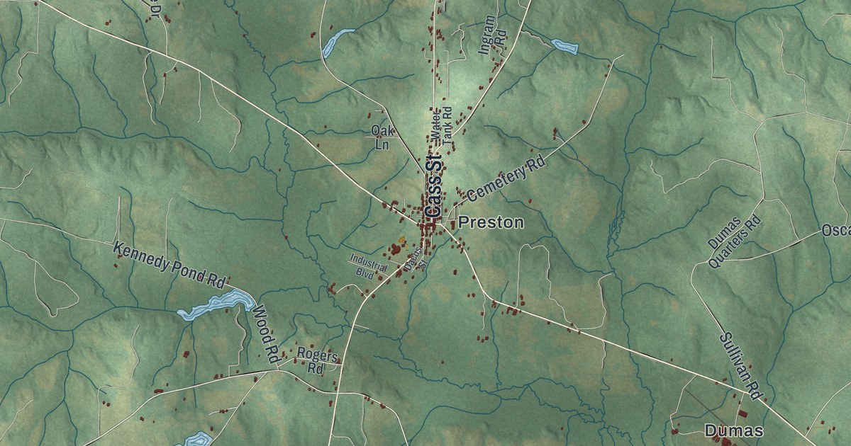
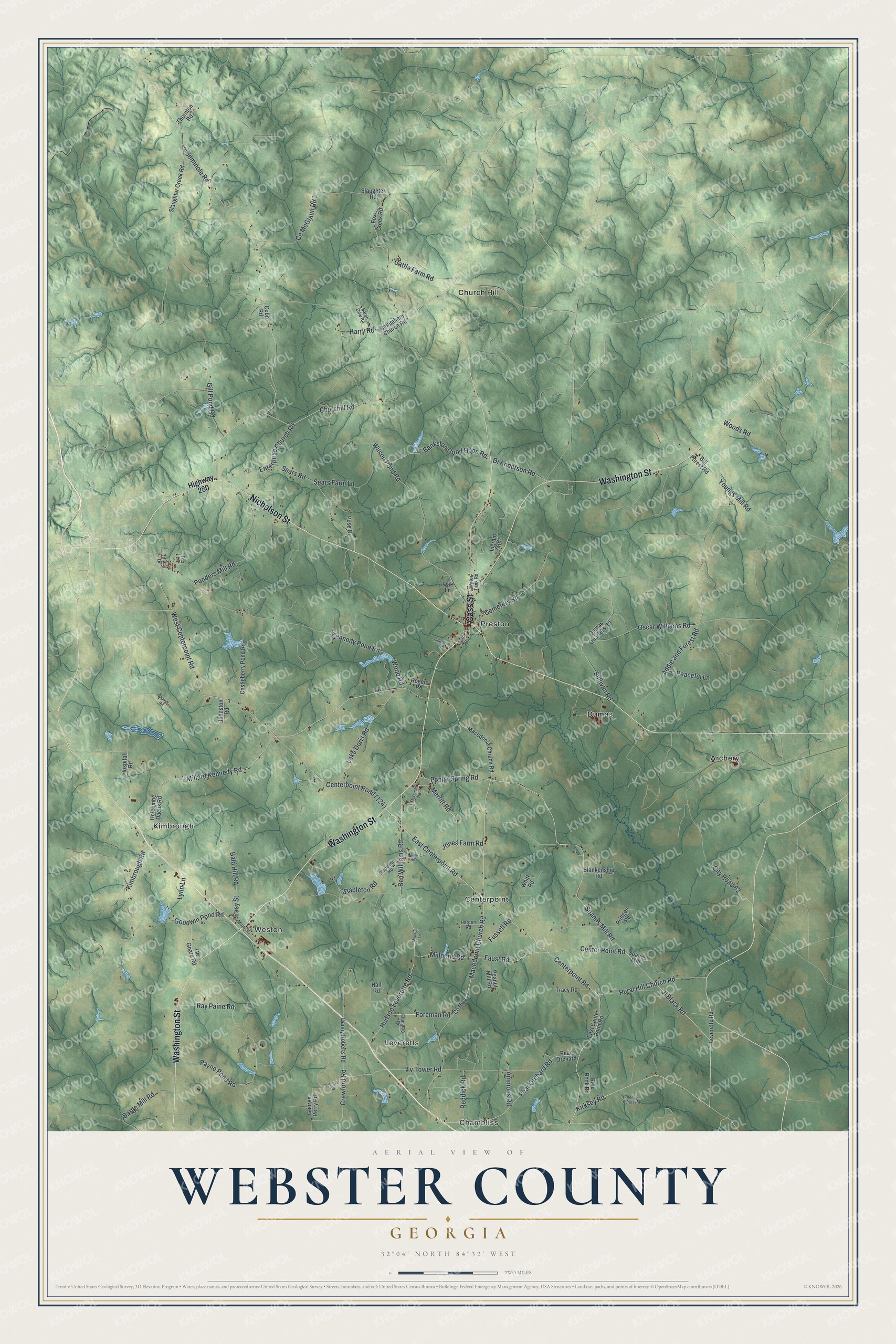
This beautifully detailed map of Webster County, Georgia was created in 2026 using aerial imagery combined with modern topographical, census, street and landmark data. It’s a one-of-a-kind view of Webster County that combines accurate data with a vintage aesthetic. The map shows every building in its true location, many of the roads carry their names, and the shaded topographic relief shows the shape of the land.
Explore an aerial view of Webster County, Georgia
On the map you’ll find Chambliss, Leveretts, Weston, Archery, and Centerpoint, along with Nicholson Street, Washington Street, Cass Street, Millard Kennedy Road, Centerpoint Road, and more. If you look closely you can even find your house accurately drawn in its correct location. Zoom in on the preview to look for yours.
Did You Know?
The county was created in 1853 as Kinchafoonee County, named for Kinchafoonee Creek. In 1856 lawmakers changed its name to honor Daniel Webster, the senator from Massachusetts. In 2009, Preston and Weston gave up their charters to form one unified county government.
Take a closer look at the Webster County map
Names on this map
These names are printed on this map.
Places: Chambliss, Leveretts, Weston, Archery, Centerpoint, Church Hill, Dumas, Kimbrough and Preston.
Streets and roads: Nicholson Street, Washington Street, Cass Street, Millard Kennedy Road, Centerpoint Road, Kirksey Road, Merritt Road, Poplar Spring Road, Enterprise Church Road, West Centerpoint Road, Churchill Road, Seminole Road.
More street names, A to Z
Addie and Forest Road, Ammons Road, Bald Hill Road, Bankston Good Hope Road, Barge Mill Road, Ben Williams Road, Bethlehem Church Road, Bill Forest Road, Blankenship Road, Castleberry Pond Road, Cattle Farm Road, Ce McGlaun Road, Cemetery Road, Center Point Road, City Road 62, Cobb Road, County Highway, Crawford Road, Dacus Street, Danny Roberts Road, Di Anderson Road, Dumas Quarters Road, East Centerpoint Road, East Center Point Road, Easy Street, Ellington Road, Faust Road, Foreman Road, Fox Creek Road, Fox Lane, Fussell Road, Ge Goare Road, George Perry Road, Gill Pond Road, Goodwin Pond Road, Hall Road, Harden Road, Harris Road, Harry Road, Highway 280, Holcombe Dacus Road, Hospital Road, Hudson Leverette Road, Industrial Boulevard, Ingram Road, Jl Black Road, Johnston Road, Jones Farm Road, Kennedy Pond Road, Kimbrough Road, Lake Doris Road, Leverette Road, Lynn Lane, Macedonia Chruch Road, Macedonia Church Road, Main Street, McDaniel Road, Millpond Road, Monkus Lane, Nicholson Road, Oak Lane, Oscar Williams Road, Payne Pond Road, Peaceful Lane, Peanut Mill Road, Pear Orchard, Pear Orchard Road, Ponders Mill Road, Pose Drive, Pridgen Road, Ray Paine Road, Reddick Road, Red Rock Road, Roberts Road, Rogers Road, Rural Hill Church Road, Sarah Dew Road, Sears Farm Lane, Sears Road, Slaughter Creek Road, Slaughter Road, Spanns Mill, Spanns Mill Road, Stapelton Road, Stapleton Road, Sullivan Road, Thomas Peters Road, Thornton Road, Tiffany Drive, Tracy Road, Tv Tower Road, Water Tank Road, Whitt Road, Wilson Pond Road, Wood Road, Woods Road, Youngs Mill Road.
See it on a wall
The Webster County map as a framed print. Swipe for more.


This beautifully detailed map of Webster County makes an attractive addition to your office, library, or den, and it can even be used to teach children the geography and history of the area. It also makes a great gift for anyone who grew up in Webster County or moved away. When you’re done exploring, click here to get your copy of the Webster County map.