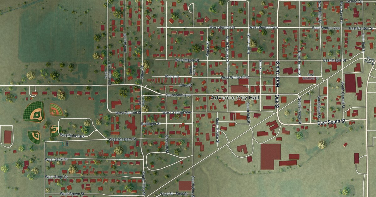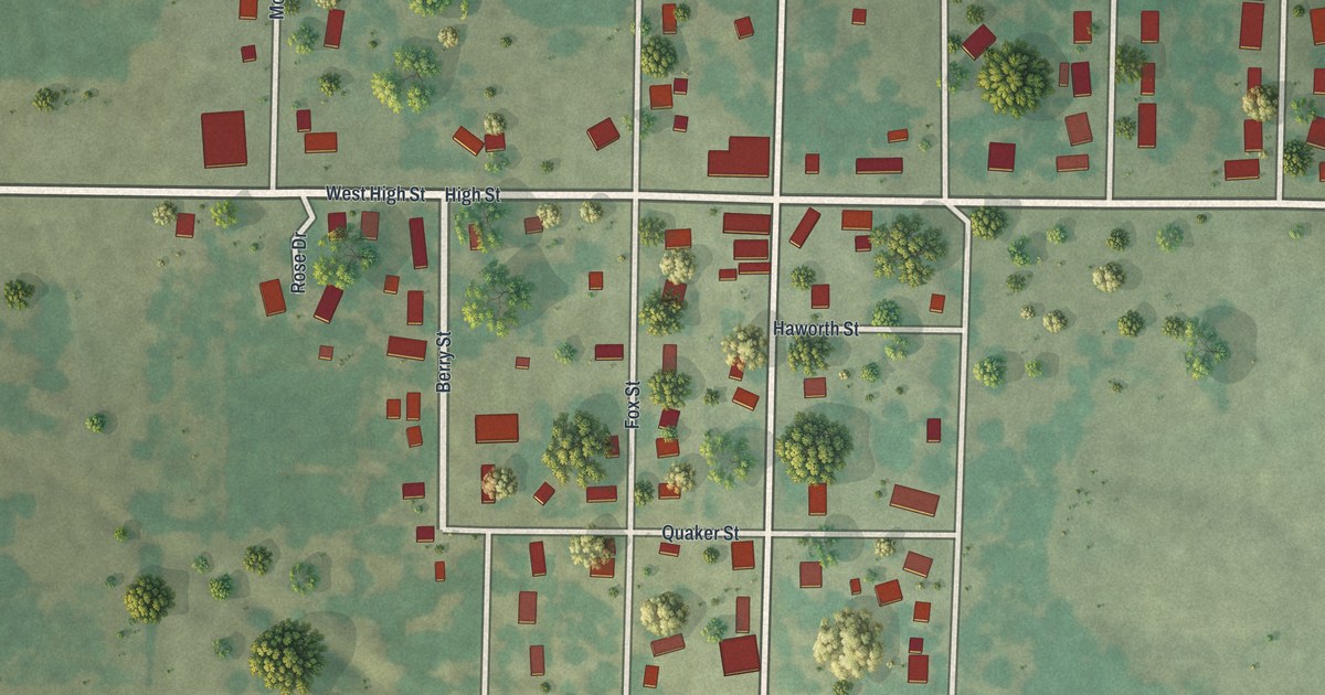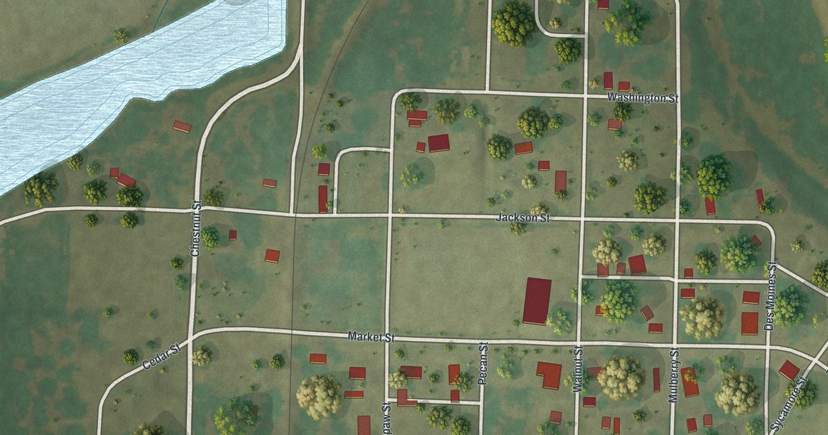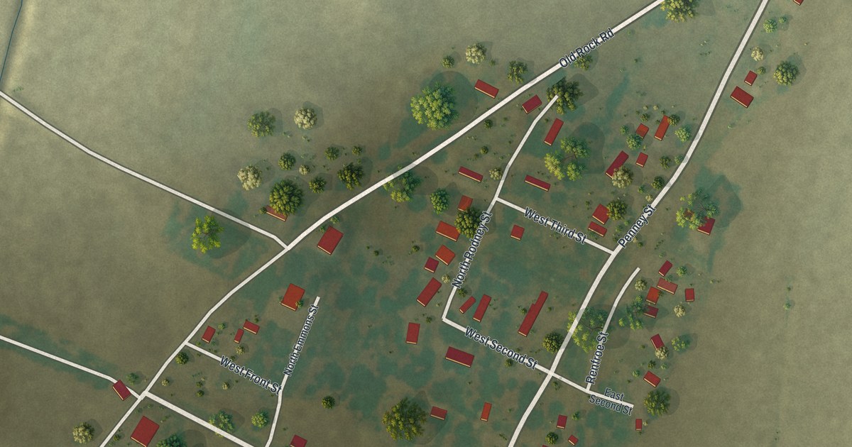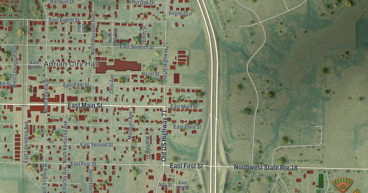
If you grew up in Adrian, went to school here, or have family who still lives near Main Street, this map shows the town the way it's really laid out. It's a modern aerial view of Adrian in Bates County, Missouri, made from modern data and given a vintage look. The street grid sits left of center, with more than 1,100 buildings drawn in red. Old US Highway 71 runs down the east side of town, and the lake at Adrian City Park makes a bright blue patch beyond it. Open farm country fills the rest of the sheet, with creeks drawn but not labeled. Explore the print options for Adrian.
From Adrian City Hall to Adrian City Park
Start at Adrian City Hall, printed in the middle of the town grid. Main Street runs east and west below it, printed as West Main Street on one side and East Main Street on the other. The numbered streets stack up from there. East First Street and East Third Street lie to the south. East Fifth Street up through East Eighth Street run north toward the top of town. The north and south streets cross them, and several carry state names: North Virginia Street, North Kentucky Avenue, Ohio Avenue and Missouri Avenue. Now follow East Main Street east to Old US Highway 71, which runs straight down the east edge of the grid. The wider highway that curves past it farther east isn't labeled. Drop down to East First Street and head for the highway. Across it, Northwest State Rte 18 carries on east to Adrian City Park, where the lake fills a big blue patch. Look for Frontier Village printed near the park too. Many of the roads are labeled, and each red shape is a building, so zoom in on the preview and look for yours.
How Adrian started with the railroad in 1880
Adrian got its start with the railroad. An old settlers' history of Bates County, printed in 1900, says the town was founded in 1880, the same year the railroad began running. The company that started it was made up mostly of men from Butler, the county seat. The book puts the town in Deer Creek Township, with its limits reaching the Mound Township line. The 1890 census counted 613 people. By 1900 the book said Adrian had more than 1,000 residents, a new school building, six teachers and a nine-month school year. It also names the Adrian Journal, the town's newspaper, and the Adrian Bank. The railroad still runs north and south through the print, close to Old US Highway 71. It isn't labeled, but the town grid sits right beside it. The Census Bureau counted 1,730 people here in 2020.
Skyline Drive, the county roads and the farmland around town
The edges of the sheet are worth a look too. At the north end of town, near the highway, look for Harlquin Drive, Plainview Drive, Pin Oak Drive and Mae Lane. Waggoner Street sits at the southwest corner of the grid, and Skyline Drive runs south from there toward the bottom of the sheet. Northwest Co Road 1001 is printed out on the west edge of town. Northeast Co Road 10004 crosses the lower right, below the lake. Everything between them is open farm country. The soft green shading comes from USGS elevation data, so the creek bottoms show up as darker green.
For someone who knows Main Street and Adrian City Park
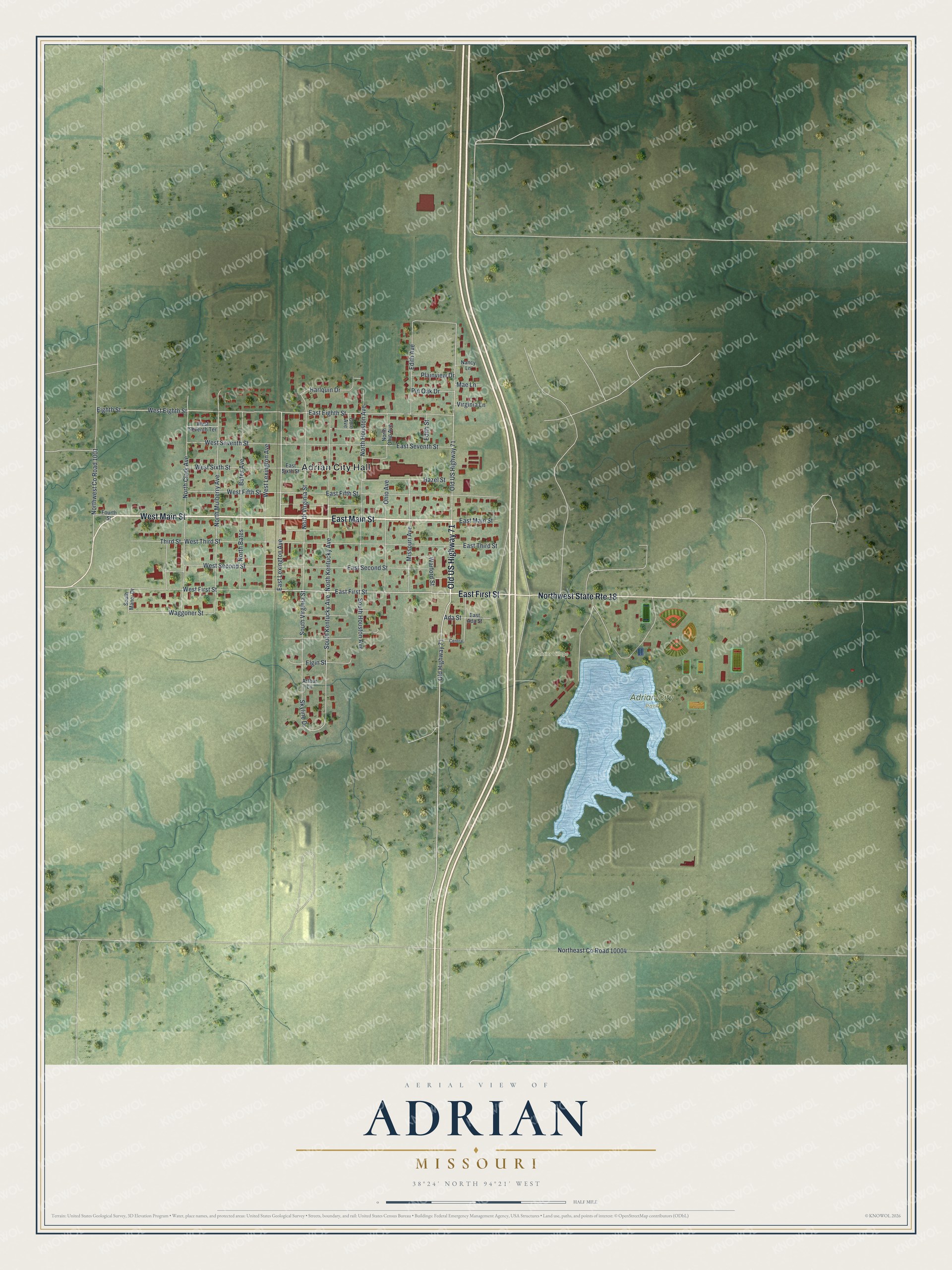
Created by KNOWOL in 2026, this Adrian map shows the street grid, more than 1,100 red buildings and the blue lake at Adrian City Park on soft green farmland. The shading comes from USGS elevation data, and the streets come from Census Bureau records. The title panel reads "Aerial View of Adrian, Missouri" with 38°24' North, 94°21' West beneath it and a half-mile scale bar.
It fits a kitchen, a den or an office wall. It's also an easy gift for someone who grew up in Adrian and moved away, or for a family with roots in Bates County. Open the preview, zoom in and find the street you know. Shop the Adrian, Missouri map.