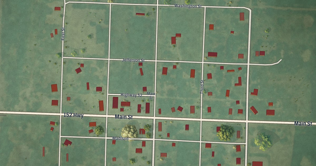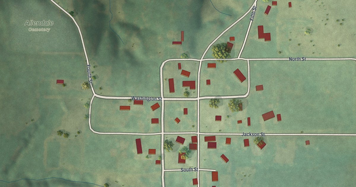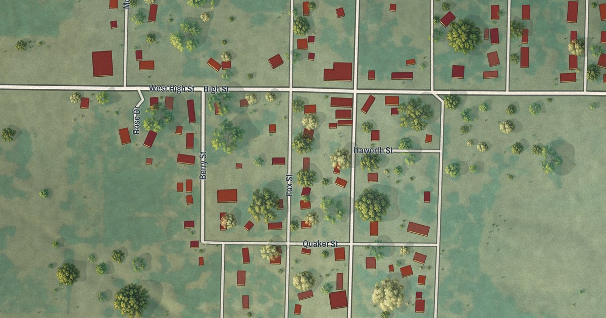
If you grew up in Alba or still have family on its streets, this map puts the whole town on one sheet. It's a modern aerial view of Alba, a small city in Jasper County, Missouri, made from modern data and given a vintage artistic feel. The streets are drawn in white over green open country, and about 340 buildings are marked in red. Co Highway Dd crosses the middle of the sheet, and Main Street runs from top to bottom.
Main Street, Quaker Street and the ball diamonds
Start where Main Street crosses Co Highway Dd, the long road that runs across the whole sheet. Near Main it's printed as High Street and West High Street. Head south on Main. Haworth Street comes first, then Quaker Street, both short blocks in the middle of town. Keep going, and just before Walnut Street you'll see two ball diamonds on your left. Walnut Street runs east and west across the lower part of town. Farther south, Hubbard Street and Henley Street close off the bottom of the grid.
Now go back to the highway and head north. Maple Street crosses first, then Short Street, and Ball Street runs east near the top of town. West of Main, Morton Street reaches north from the highway, and Berry Street heads south from it. On the east side, Smith Street runs south past a long row of houses. Below Walnut Street, Robbins Street heads east. A thin blue creek winds through the top left corner. Many streets are labeled, and each red shape is a building, so zoom in on the preview and look for yours.
Emma Frise and the crowded Alba school
Alba's school story goes back a long way. An old school report, printed in a 1912 history of Jasper County, describes the Alba school in Miss Emma Frise's first term. She had seventy pupils on the register, and about fifty-eight came on an average day. The report said the house was too small and out of repair. It called her "one of the plucky ones" and said her first school was a success. "But it has required spirit, and muscle too," it added.
Another report in the same book lists the Alba school in Mineral Township. Its directors included Henry Hubbard and James M. Haworth. The book also mentions a Quaker Church school, taught by Jeremiah Hubbard. On the map, Haworth Street and Quaker Street sit just south of the highway, near the center of town. Hubbard Street is printed near the bottom of the grid.
For someone who knows Main Street in Alba
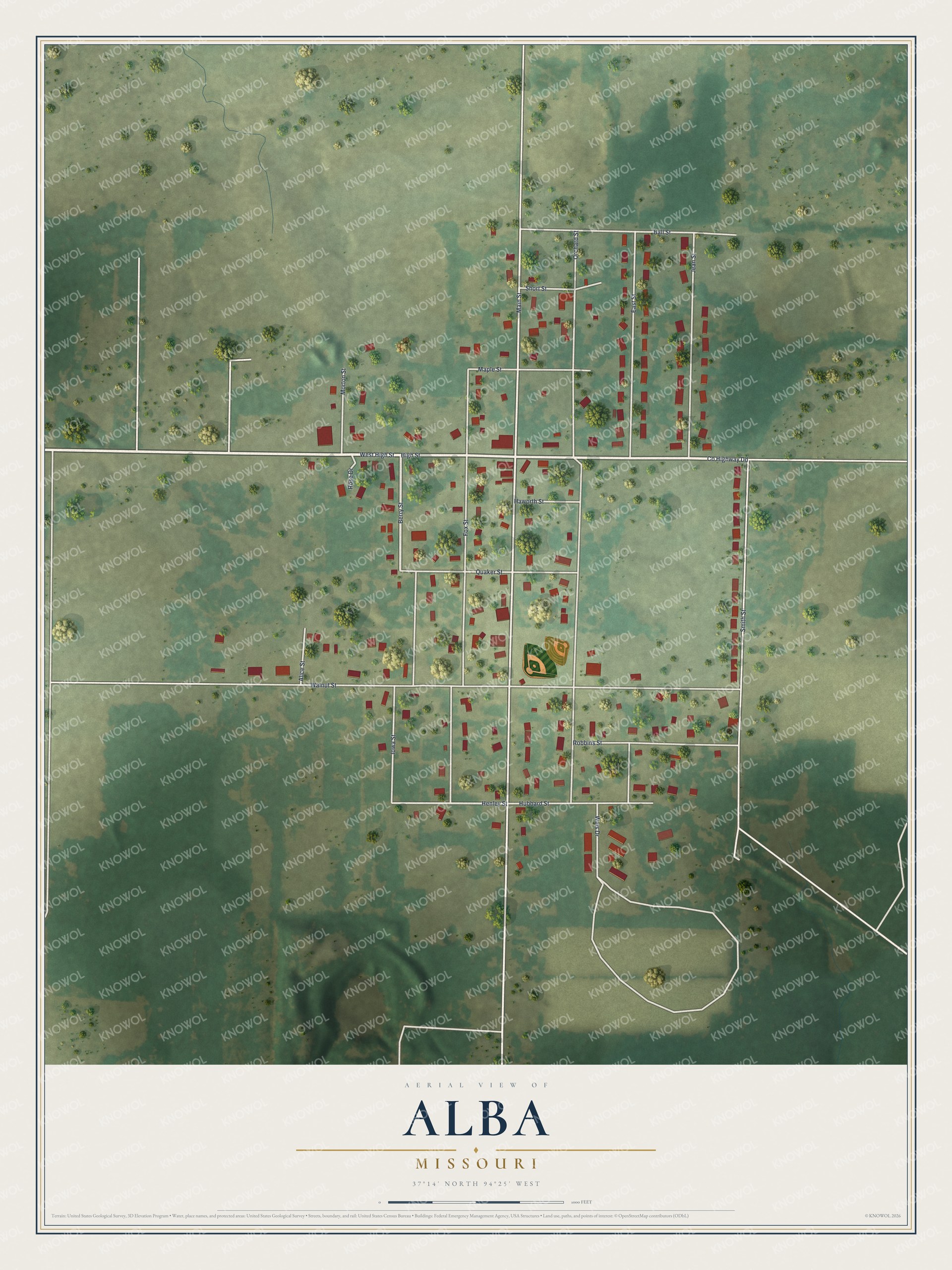
Created by KNOWOL in 2026, this map of Alba shades the land from USGS elevation data and marks each building in red. The title panel reads "Aerial View of Alba, Missouri" with the coordinates 37°14' North, 94°25' West.
It suits a kitchen, a den or a hallway where family gathers. It's a thoughtful gift for someone who grew up near Main Street in Alba and moved away. Open the preview, zoom in and find the street you know. See sizes and frames for the Alba map.