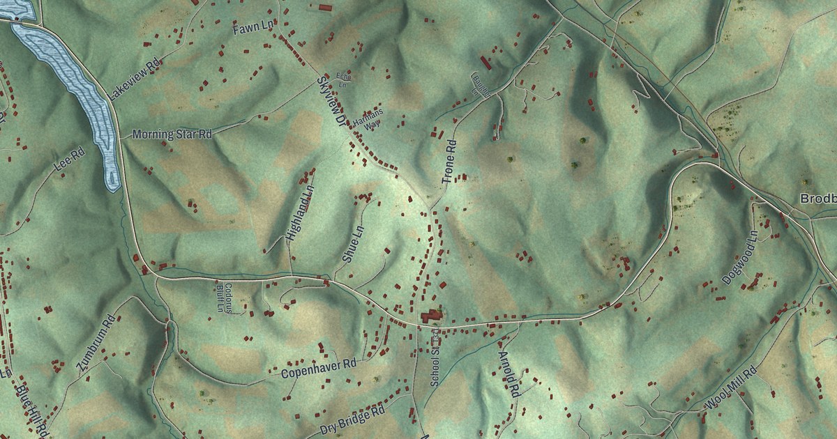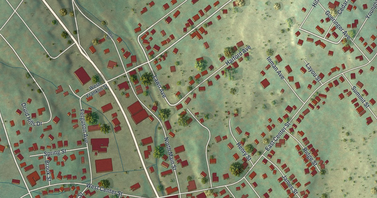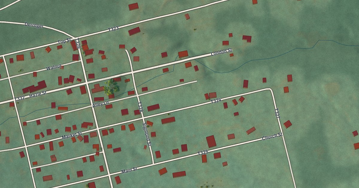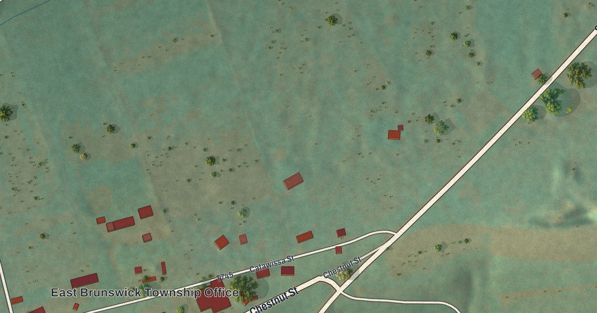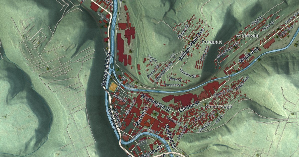
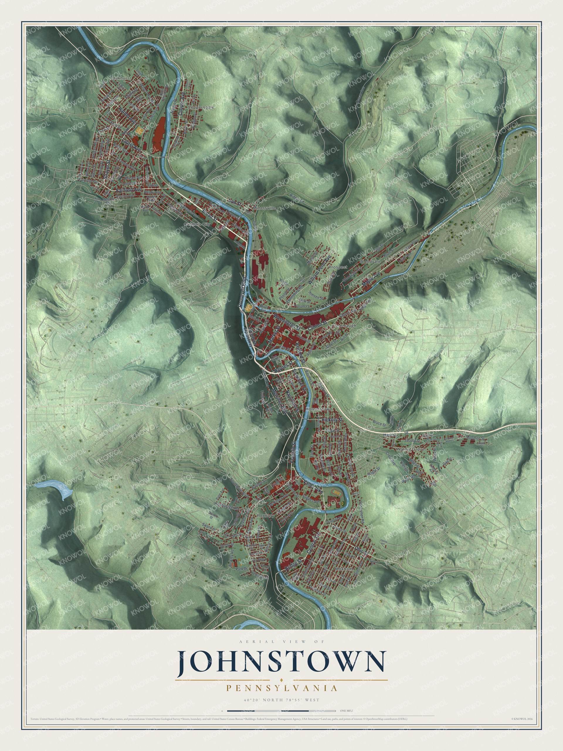
This beautifully detailed map of Johnstown, Pennsylvania was created in 2026 using aerial imagery combined with modern topographical, census, street and landmark data. It’s a one-of-a-kind view of Johnstown that combines accurate data with a vintage aesthetic. The map shows every building in its true location, many of the roads carry their names, and the shaded topographic relief shows the shape of the land.
Explore an aerial view of Johnstown, Pennsylvania
On the map you’ll find Oakhurst, Cambria City, Conemaugh, Coopersdale, Hornerstown, Minersville, Moxham, Prospect, Roxbury, Walnut Grove, and Woodvale, along with Broad Street, and more. If you look closely you can even find your house accurately drawn in its correct location. Zoom in on the preview to look for yours.
Did you know this piece of Johnstown, Pennsylvania history?
From the 1907 History of Cambria County, Pennsylvania: "The first high school in Johnstown was organized by S. B. McCormick in 1868, in the building now occupied as the station for the Baltimore & Ohio railroad."
Take a closer look at the Johnstown map
Street and place names on the Johnstown, Pennsylvania map
These names are printed on the map of Johnstown, Pennsylvania.
Places: Oakhurst, Cambria City, Conemaugh, Coopersdale, Hornerstown, Minersville, Moxham, Prospect, Roxbury, Walnut Grove and Woodvale.
Streets and roads: Broad Street, Strayer Street, Cooper Avenue, Fairfield Avenue, Bridge Street, Iron Street, Harold Avenue, Menoher Boulevard, Central Avenue, Somerset Street, Napoleon Street, Bedford Street.
More street names, A to Z
13th Place, 14th Place, 15th Place, 100 Place, 400 Place, 500 Place, 600 Place, 600th Place, 700 Place, 800 Place, Adams Street, Agnes Avenue, Apodel Alley, Apollo Alley, Ash Street, Balsa Place, Bantel Street, Barnett Street, Barron Avenue, Baumer Street, Bay Street, Beck Alley, Bell Alley, Bell Place, Berkley Road, Bheam Avenue, Billow Park Lane, Birch Avenue, Blaine Street, Blenny Alley, Blough Street, Boyd Avenue, Boyer Street, Bruce Street, Brush Avenue, Butler Avenue, Cambria Place, Cedar Street, Center Place, Chandler Avenue, Charles Street, Chestnut Street, Church Avenue, Cliff Street, Clinton Street, Coleman Avenue, Connelly Avenue, Cook Street, Crest Avenue, Croyle Street, Culin Street, Cypress Avenue, Dantie Place, Decker Avenue, Derby Street, Diana Avenue, Dibert Street, Doree Place, Dragon Alley, Dupont Street, Ebensburg Road, Edith Avenue, Elder Street, Emily Place, Erato Alley, Esther Street, Fifth Avenue, Figg Street, Flinn Street, Forest Avenue, Fox Alley, Franklin Street, Frederick Street, Frew Place, Frick Avenue, Fronheiser Street, Gail Street, Garfield Street, Gates Street, Gertrude Court, Glenn Street, Golde Street, Good Street, Gray Avenue, Gregg Avenue, Grove Avenue, Gull Place, Halite Place, Harshberger Road, Haynes Street, Heron Place, Hickory Street, Hillcrest Court, Hill Place, Hoffman Avenue, Honan Avenue, Hope Street, Horner Street, Ihmsen Street, Iolite Avenue, Irene Street, Jacob Street, Jacoby Street, James Street, Jasper Alley, Jean Avenue, Johns Street, Johnstown Expressway, Joy Avenue, Jupiter, Kramer Place, Laurel Avenue, Leek Place, Lee Place, Leroy Street, Lloyd Court, Locust Street, Lucas Place, Lunen Street, Magpie Place, Main Street, Mango Place, Maple Avenue, Marbury Avenue, Market Street, Martin Street, Mayer Avenue, McConaughy Street, McKinley Avenue, Meade Street, Mercury Avenue, Miles Street, Millcreek Road, Moore Street, New Street, North Sheridan Street, Oakhurst Homes, Oak Street, Ohio Street, Osborne Street, Palm Avenue, Park Avenue, Park Drive, Paul Street, Peelor Street, Pennsylvania Avenue, Pine Street, Plum Street, Power Street, Prospect Street, Rambo Street, Ream Alley, Reo Place, Riders Road, Ridge Avenue, Ringling Avenue, River Avenue, Roosevelt Boulevard, Roxbury Avenue, Roy Alley, Russell Avenue, Rutledge Place, Sam Street, Saylor Street, Sell Street, Sheridan Street, Slagle Street, Slick Alley, Smith Place, Solomon Homes, Solomon Street, Southmont Boulevard, Sparrow Place, Spring Street, Steel Street, Stone Street, Stonycreek Street, Sunday Street, Suppes Avenue, Swallow Place, Swank Street, Tamarind Place, Tamarino Alley, Tech Park Drive, Tennessee Avenue, Tenth Avenue, Thelma Avenue, Tillman Avenue, Ulerich, Valley Pike, Vaughn Street, Village Street, Vine Street, Virginia Avenue, Von Lunen Road, Walnut Street, Walters Place, Washington Street, Wertz Road, Wess Street, Wheat Street, William Penn Avenue, Wilson Street, Wood Street, Woodvale Avenue, Worth Street, Yew Street, Yoder Street.
See the Johnstown, Pennsylvania map on a wall
The Johnstown map as an 18 x 24 inch print in a black frame.

This beautifully detailed map of Johnstown makes an attractive addition to your office, library, or den, and it can even be used to teach children the geography and history of the area. It also makes a great gift for anyone with Johnstown roots. When you’re done exploring, click here to get your copy of the Johnstown map.