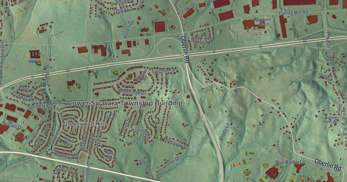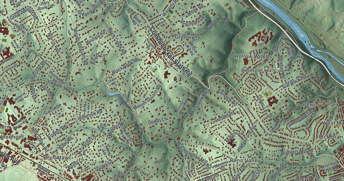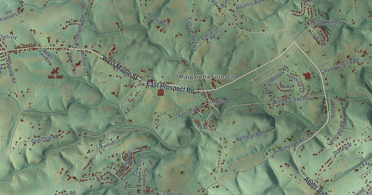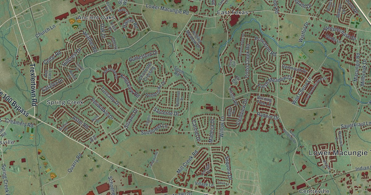
If you live off Hamilton Boulevard, grew up in Ancient Oaks, or have family near East Texas or Centreville, this map gives you plenty to find. It's a modern aerial view of Lower Macungie Township in Lehigh County, Pennsylvania, made from modern data and finished with a vintage look. The hills are shaded in soft green, and more than 27,000 buildings are drawn in deep red. New streets curl in loops through the middle of the sheet. Open fields spread out to the west, two small blue ponds sit in the top left corner, and the hills rise along the bottom.
Brookside Road, Hamilton Boulevard and Spring Creek Road
Start at the Lower Macungie Township Building on Brookside Road, near the middle of the sheet. Take Brookside Road north to Hamilton Boulevard, the long road across the top half of the map. Hamilton heads northeast toward Kressler Road and Minesite. Go the other way and you'll meet Mill Creek Road. Follow it south past Lower Macungie Road, where East Texas is printed. Keep going and it crosses Sauerkraut Lane.
From Mill Creek Road, turn west on Spring Creek Road. It passes Spring Creek, crosses Trexlertown Road and reaches Weilersville at Weilers Road. Farther west, the same road is printed as Mertztown Road. Back to the east, Indian Creek Road runs south through Centreville. Down at the bottom, Mountain Road passes Hensingersville at the foot of the shaded hills. Many of the roads are labeled, and each red shape is a building, so zoom in on the preview and look for yours.
Why Spring Creek was once called Mill Creek
Lower Macungie became its own township on May 3, 1832, when the old Macungie Township was split in two. Its main stream is the Little Lehigh. The History of Lehigh County, printed in 1914, names its two chief branches here as the Swabie Creek and the Spring Creek. It also says very old papers gave Spring Creek another name: Mill Creek. By 1914, most people had forgotten it. Look near the middle of the map and you'll see Spring Creek Road and Mill Creek Road cross each other.
The old name made sense. These streams ran a whole string of mills. The history lists Danner's Mill, Seems' Mill, Knerr's mill, and Ludwig's, later run as the Butz and Lichtenwalner Roller Mills. Seems' Mill also made linseed oil and hulled cloverseed. The writer said the mills' stone buildings were so well built that some had stood a century or more. Those family names are still on the map. In Ancient Oaks, Danner Road and Fritch Drive sit side by side. Seem Road comes off Mill Creek Road, Knerr Drive comes off Scenic View Drive, and Butz Road runs off Mertztown Road.
For anyone with roots in East Texas or Centreville
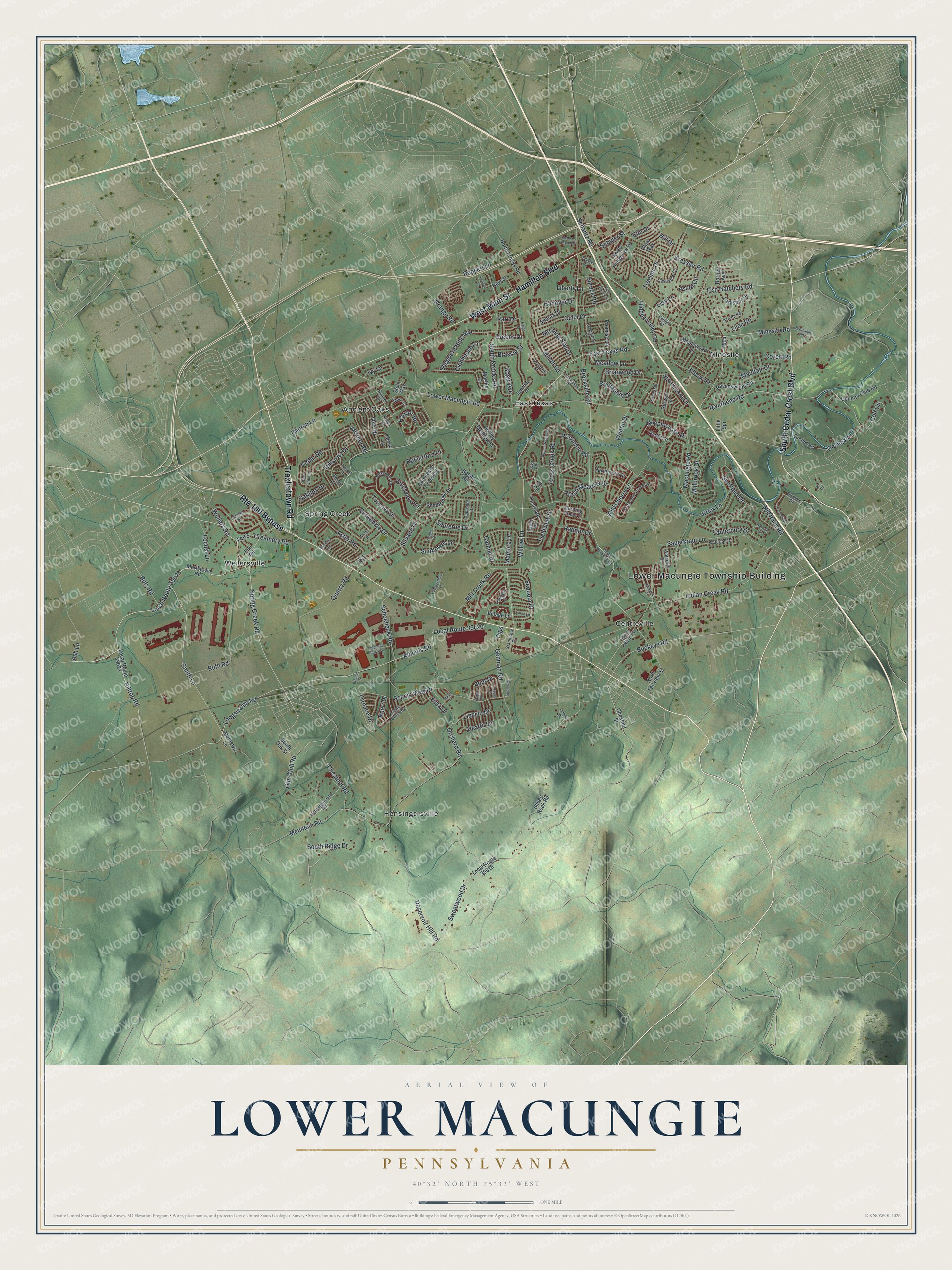
Created by KNOWOL in 2026, this map of Lower Macungie suits an office, a den or a family room. The shaded hills come from USGS elevation data, and the buildings are drawn in deep red. The title panel reads "Aerial View of Lower Macungie, Pennsylvania," with the coordinates 40°32' North, 75°33' West and a one-mile scale bar.
It's a thoughtful gift for someone who grew up in Ancient Oaks, moved away from a street off Sauerkraut Lane, or still has family near the Township Building. Open the preview, zoom in and find the roads you know. See sizes and frames for the Lower Macungie map.