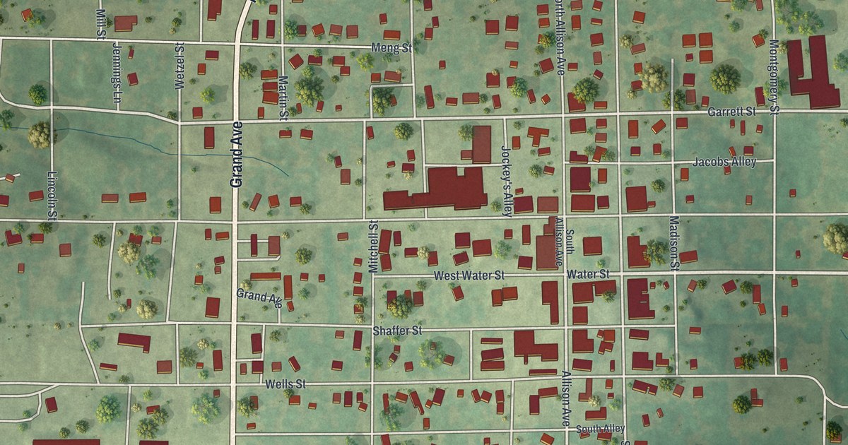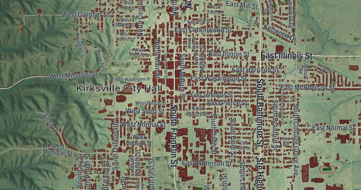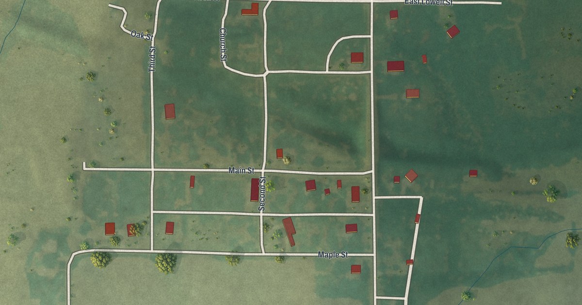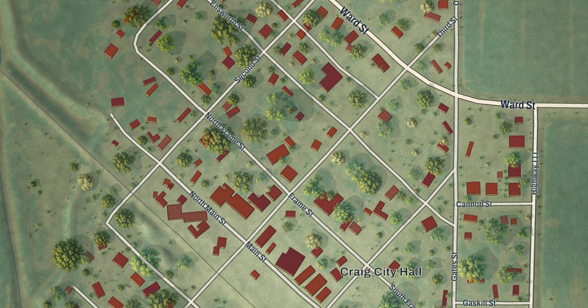
If you grew up in Craig, went to school here, or still have family on these quiet blocks, this map gives you your own streets to find. It's a modern aerial view of Craig in Holt County, Missouri, drawn from modern data and given a vintage look. The town's grid sits on a slant, running from northwest to southeast, and each building is marked in red. A straight rail line cuts through town on the same slant. Wide green farm fields spread out on every side.
From Craig City Hall to Ward Street
Start at Craig City Hall, labeled in the middle of town. Main Street and Frame Street run right past it. Gates Street heads south from the center toward the bottom of town. Now go up to Ward Street, which runs along the top edge of the grid. Follow it southeast and it meets Dandelion Road. There it turns and heads straight east into the fields. Near the top of town, look for School Street beside a large red building.
Back in the center, Cannon Street and Gaskill Street run east toward Highway 111. On the other side of town, Tarkio Street runs along the bottom left edge, heading southeast. Williams Street and West Street cross the blocks in between. Many of the roads are labeled, and each red shape is a building, so zoom in on the preview and look for yours.
Sharp's Grove and the flood at Craig
People lived here before the town did. A 1917 history of Holt County says W. A. and Abraham Sharp settled near where Craig now stands in 1841. The land around it was still called Sharp's Grove when that book came out. The same book puts the main crossing of the Big Tarkio River about a mile above Craig. Tarkio Street, at the bottom left of the map, shares its name with that river.
A Holt County history printed in 1882 tells of a hard time. It calls a flood that swept over Craig a "terrible visitation." By the time that book was written, the town had "long since recovered." The writer even found one good thing the water left behind. It washed away rotting plant matter and made the town healthier. The same book says the bank of Bilby & Heaton was the first and only bank in Craig. Look at the winding stream bed on the left side of the sheet, and at the flat fields all around, and you can see how open this ground is.
For anyone who knows Tarkio Street
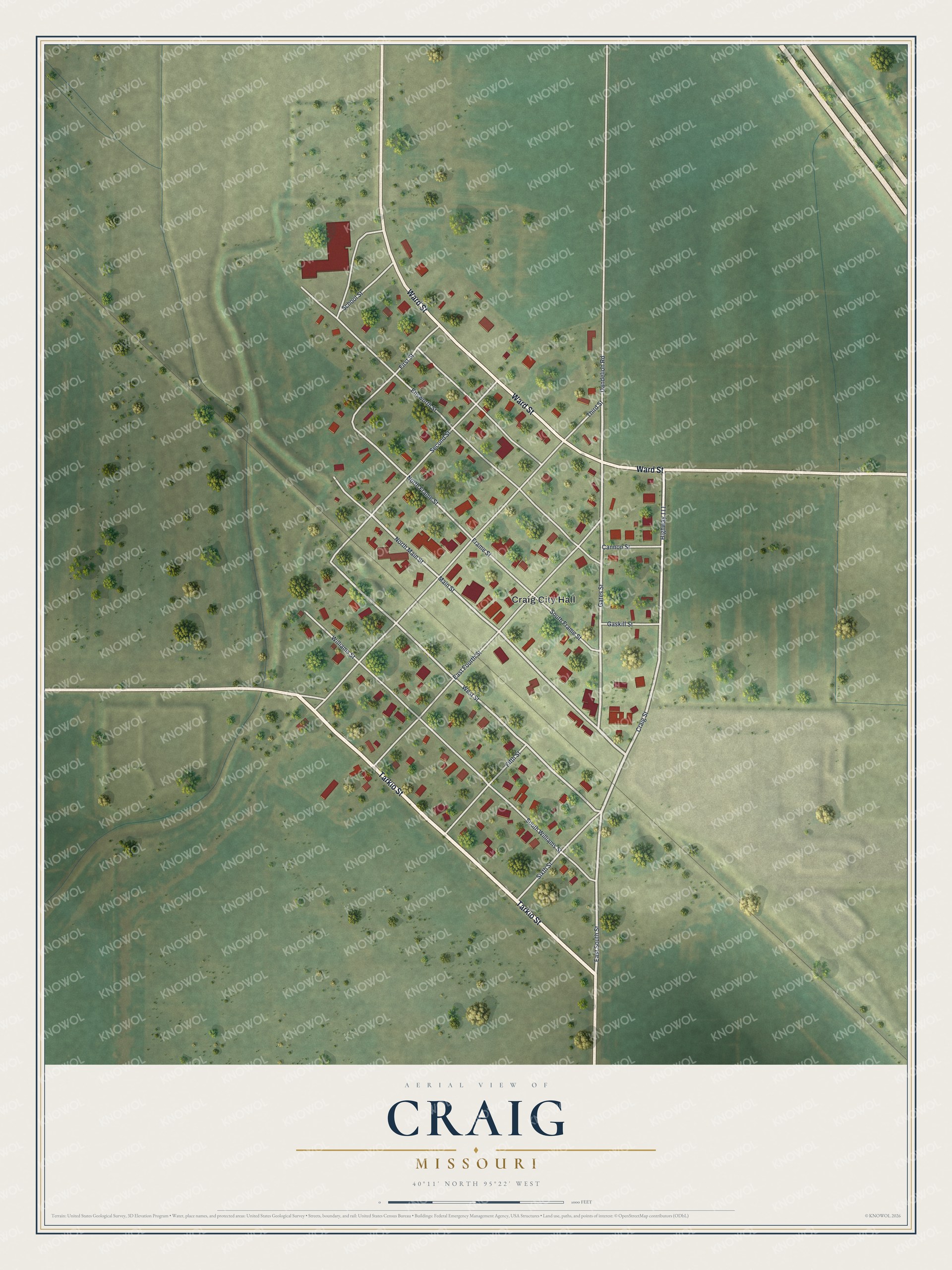
Created by KNOWOL in 2026, this map of Craig fits a kitchen, a den or a home office. The town is drawn in soft greens with each building in deep red, and the land shading comes from USGS elevation data. The title panel reads "Aerial View of Craig, Missouri" with the coordinates 40°11' North, 95°22' West and a scale bar.
It's a good gift for someone who grew up near Craig City Hall and moved away, or for family who still lives in town. Open the preview, find Ward Street, and follow it to your block. See sizes and frames for the Craig map.