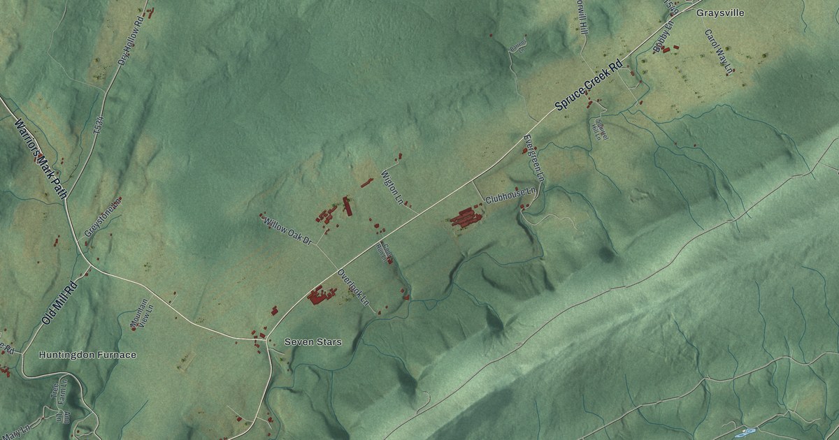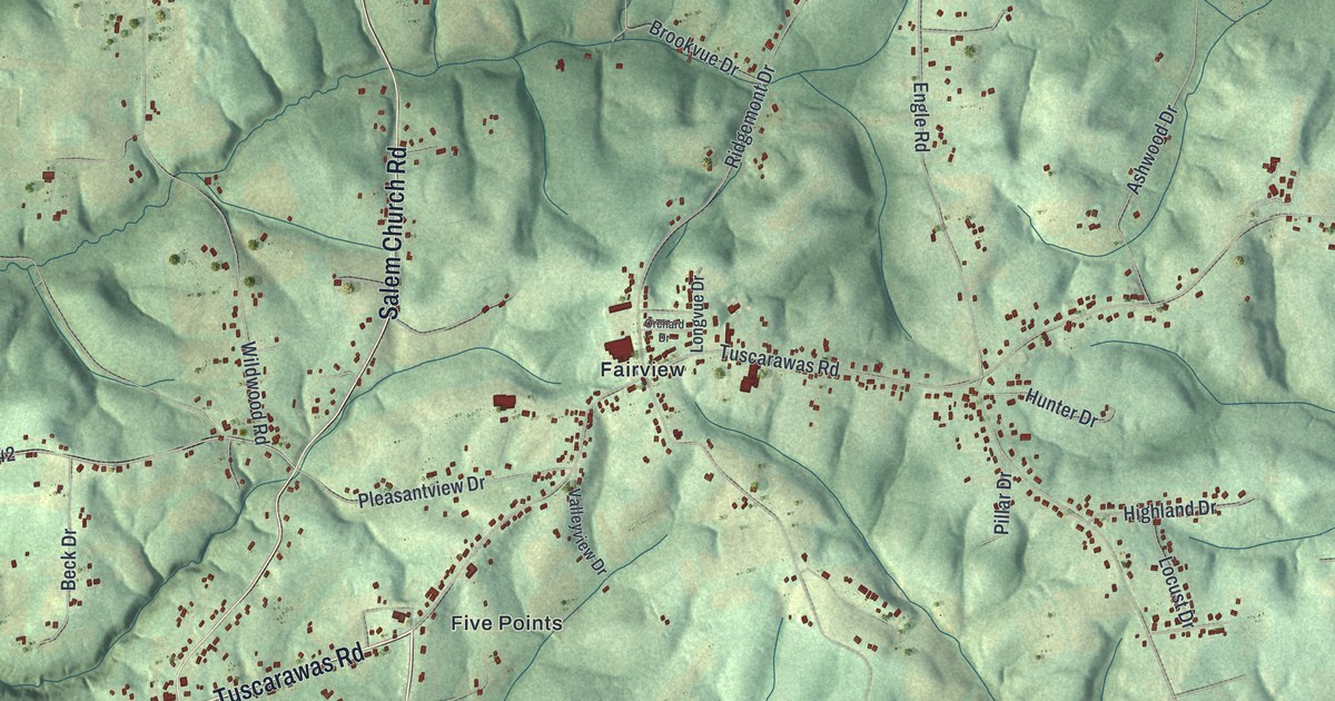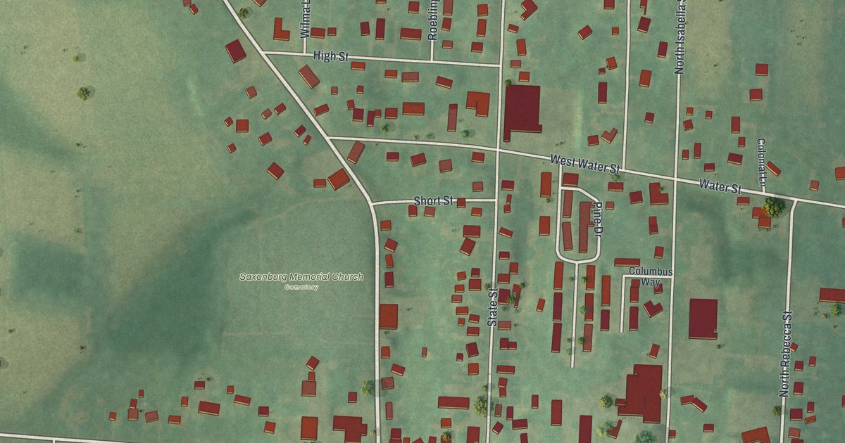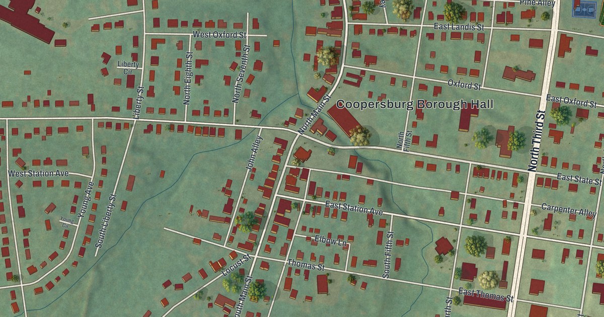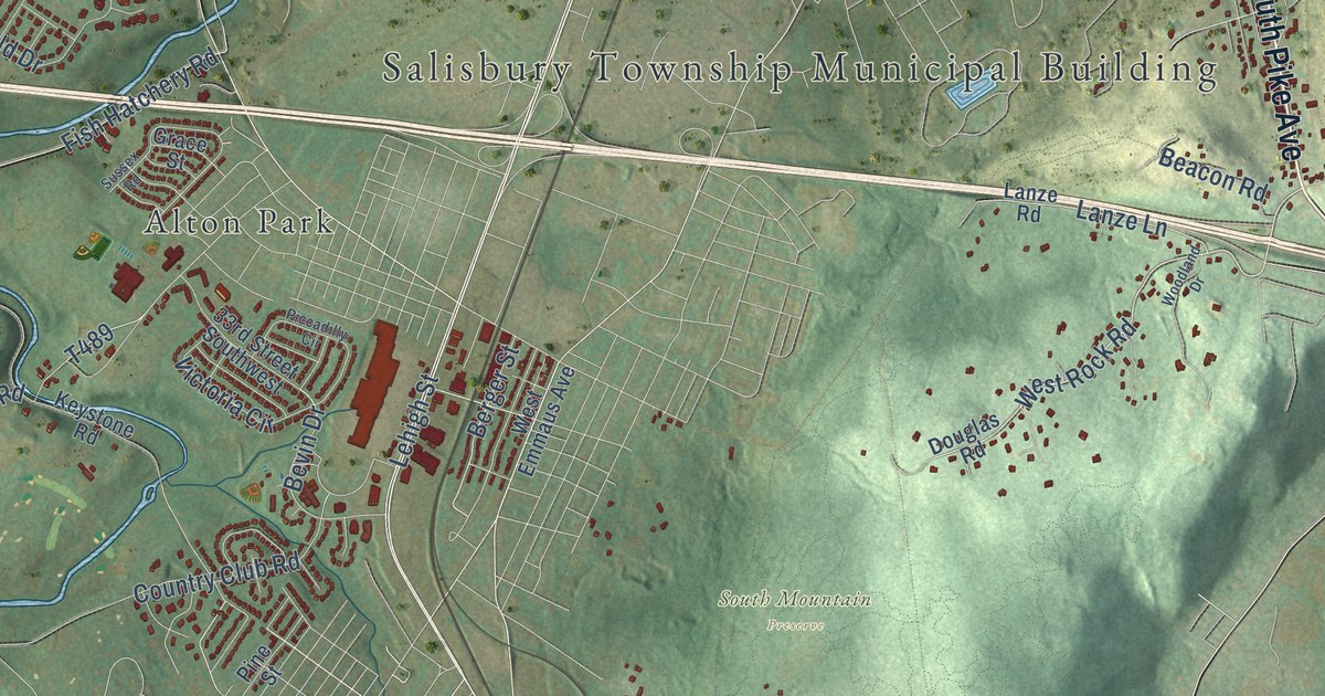
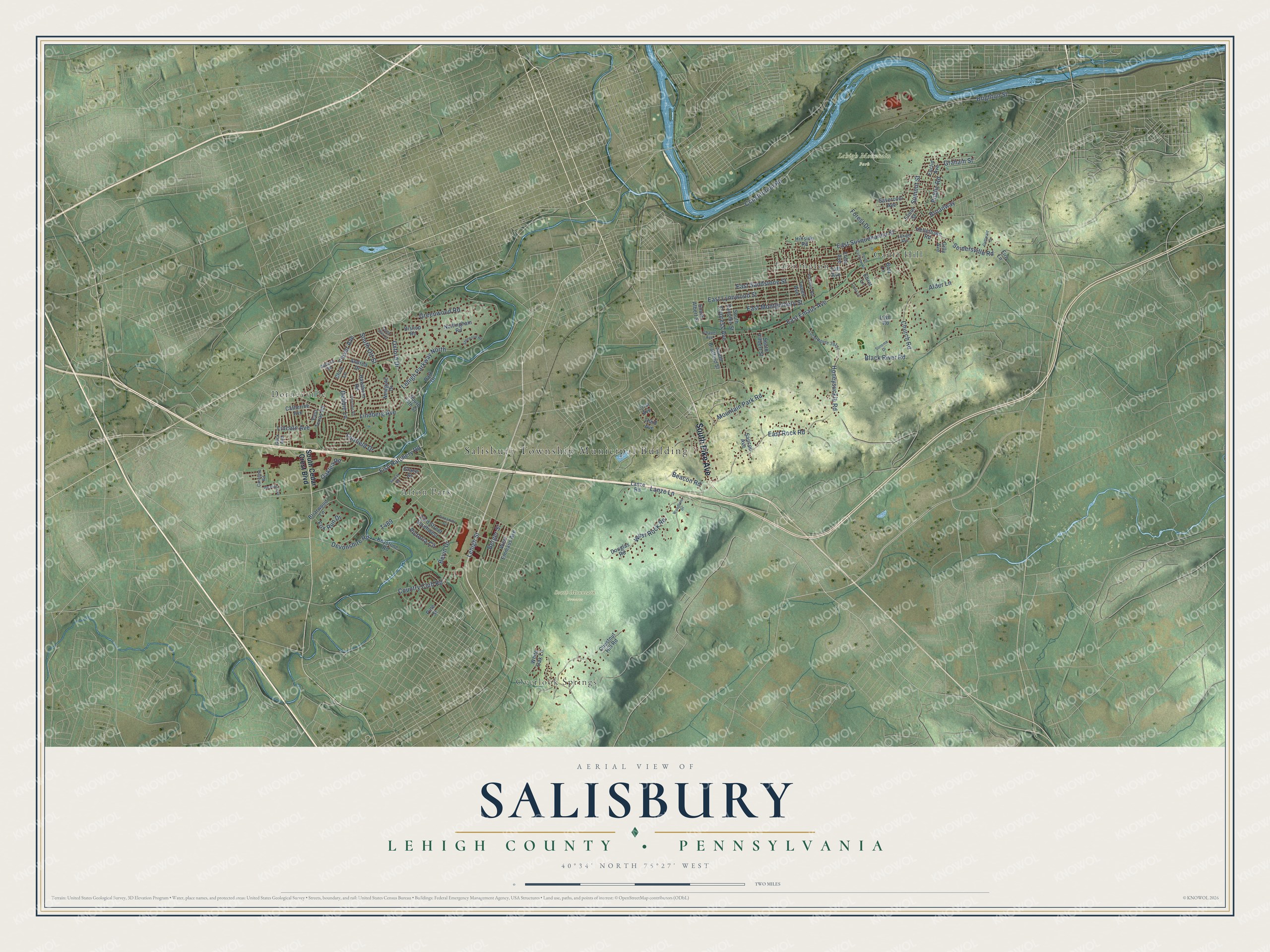
This beautifully detailed map of Salisbury, Lehigh County, Pennsylvania was created in 2026 using aerial imagery combined with modern topographical, census, street and landmark data. It’s a one-of-a-kind view of Salisbury that combines accurate data with a vintage aesthetic. The map shows every building in its true location, many of the roads carry their names, and the shaded topographic relief shows the shape of the land.
Explore an aerial view of Salisbury, Lehigh County, Pennsylvania
On the map you’ll find Salisbury Township Municipal Building, Black River Sanctuary, Lehigh Mountain Park, South Mountain Preserve, Alton Park, Dorneyville, Farmington, Gauff Hill, and Overlook Springs, along with South Pike Avenue, East Emaus Avenue, East Susquehanna Street, and more. If you look closely you can even find your house accurately drawn in its correct location. Zoom in on the preview to look for yours.
Take a closer look at the Salisbury, Lehigh County map
Street and place names on the Salisbury, Lehigh County, Pennsylvania map
These names are printed on the map of Salisbury, Lehigh County, Pennsylvania.
Places: Salisbury Township Municipal Building, Lehigh Mountain Park, South Mountain Preserve, Dorneyville, Farmington, Overlook Springs, Alton Park and Gauff Hill.
Streets and roads: South Pike Avenue, West Rock Road, Lehigh Street, Graham Street, Summit Street, East Emaus Avenue, Constitution Road, Lehigh Parkway North, East Susquehanna Street, Devonshire Road, Fish Hatchery Road, East Rock Road.
More street names, A to Z
33rd Street Southwest, Alder Lane, Andrea Drive, Beacon Road, Belford Road, Berger Street, Bevin Drive, Bishop Road, Black River Road, Briarwood Lane, Brighton Street, Broadway, Butz Lane, Caroline Road, Catherine Avenue, Chapel Avenue, Chestnut Hill Road, Chris Lane, Church Road, Country Club Road, Cypress Avenue, Debbie Lane, Douglas Road, East Lynnwood Street, East Montgomery Street, East Sandstone Street, East Texas Road, Ehret Lane, Elinor Street, Euclid Avenue, Fairfield Drive, Fire Lane, First Avenue, Flexer Avenue, Forest Drive, Fox Run Drive, Fretz Avenue, Gilly Avenue, Glick Avenue, Gottwald Drive, Grace Street, Greenwood Road, Hawthorn Road, Hellertown Road, Hillside Road, Honeysuckle Road, Irlyn Road, Keystone Road, Lanze Lane, Lanze Road, Lehigh Avenue, Lincoln Avenue, Linda Lane, Lindberg Avenue, Local Route 39117, Mountain Park Road, Newgate Drive, Nottingham Road, Oaklea Road, Oldstone Road, Oxford Drive, Park Drive, Paxford Road, Piccadilly Circle, Pine Street, Pleasant Avenue, Public Road, Saucon Avenue, Savercool Avenue, Seidersville Road, Sherwood Road, Sonoma Drive, South 24th Street, South 25th Street, South Albert Street, South Bradford Street, South Cedar Crest Boulevard, South Dauphin Street, South Fairview Road, South Filbert Street, South Ott Street, Sussex Road, Taft Avenue, Third Avenue, Tweed Avenue, Victoria Circle, West Emmaus Avenue, White Oak Lane, Woodland Drive.
See the Salisbury, Lehigh County, Pennsylvania map on a wall
The Salisbury, Lehigh County map as an 18 x 24 inch print in a black frame.

This beautifully detailed map of Salisbury, Lehigh County makes an attractive addition to your office, library, or den, and it can even be used to teach children the geography and history of the area. It also makes a great gift for anyone with Salisbury roots. When you’re done exploring, click here to get your copy of the Salisbury, Lehigh County map.