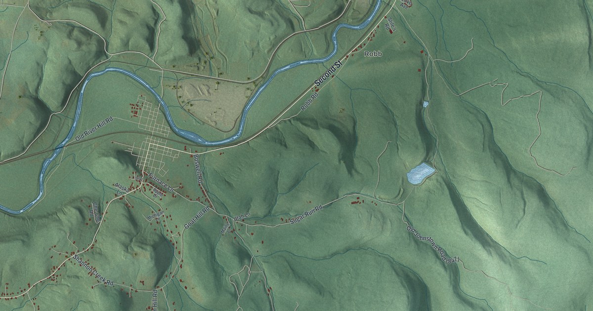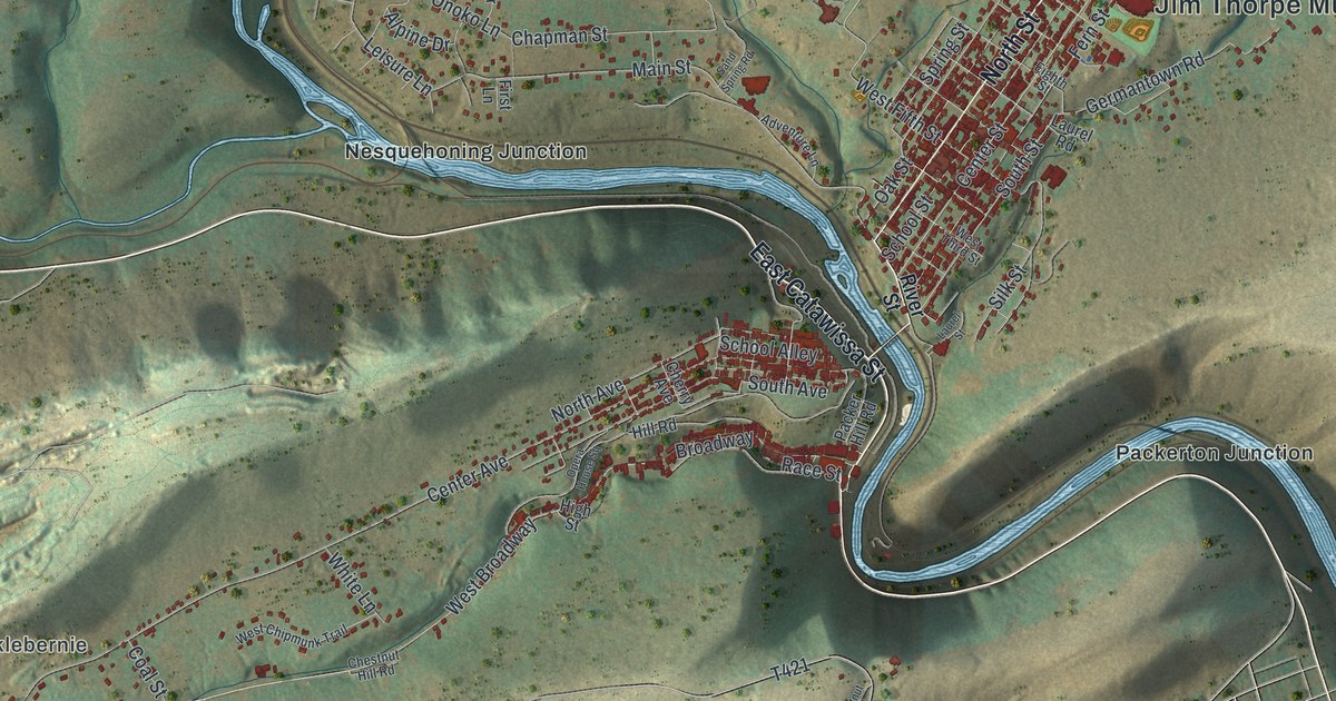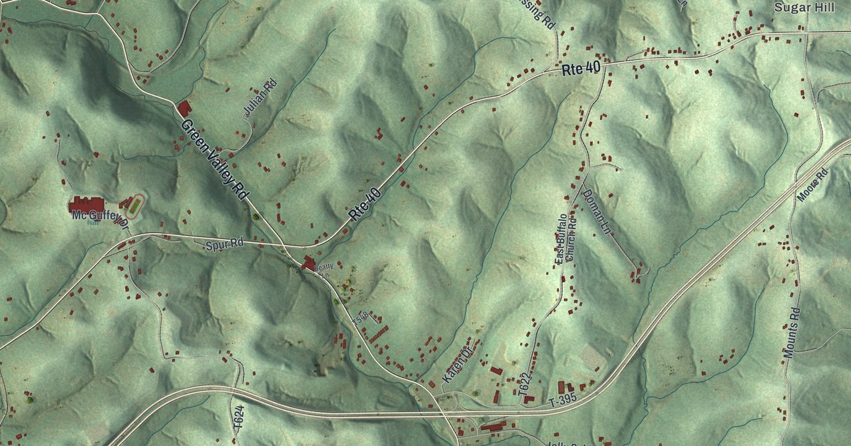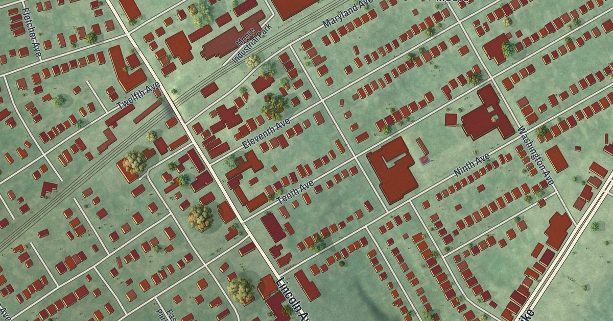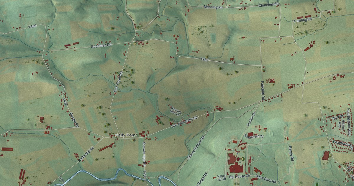
If you grew up in Kelly or have family here, look for your road. This modern aerial view of Kelly in Union County, Pennsylvania pairs modern data with a vintage feel. Green hills, red building shapes, and blue streams fill the print. Kelly Crossroads and Kelly Point stand out among the roads and fields.
Col John Kelly Road and a Revolutionary War soldier
On this map you'll find Westbranch Highway, Col John Kelly Road, Kelly Crossroads, Kelly Point, West Milton, Central Oak Heights, Crossroads Drive, Pawling Road, Churches Road, Moores School Road, Hoffa Mill Road, and more. Each red shape is a building, so zoom in on the preview and look for yours.
Col John Kelly Road gives you a name to explore beyond the print. The Col. John Kelly historical marker says he settled here about 1769. He built a log house in 1775. Kelly later served at the battles of Trenton and Princeton. The marker stands on the road that bears his name. It also records that he died in 1832 and was buried at Lewisburg.
Kelly Crossroads and Kelly Point on your wall
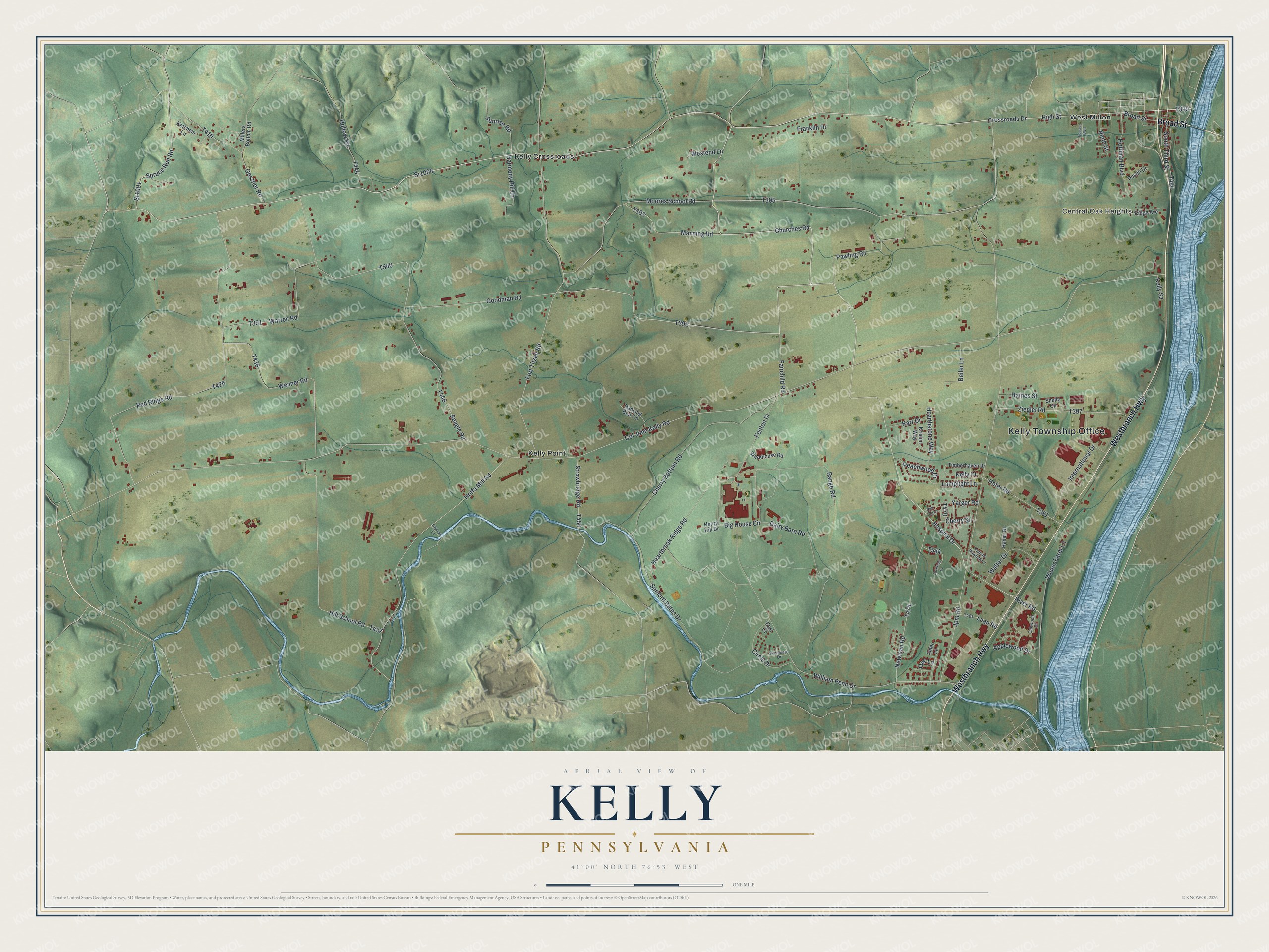
Created by KNOWOL in 2026, the print uses soft greens, blue water, and red buildings within a fine border. A cream title panel reads AERIAL VIEW OF, KELLY, PENNSYLVANIA, with 41°00' NORTH 76°53' WEST below.
Hang it in a living room, home office, or entryway. It's a gift for someone who grew up near Kelly Crossroads and wants to keep home close. Open the preview to look for a familiar road or building. See sizes and frames for the Kelly map.