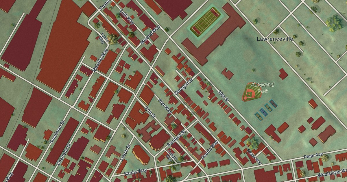
If you grew up near Butler Street, these blocks may look like home. This modern aerial view shows Lower Lawrenceville in Allegheny County, Pennsylvania, using modern data with a vintage feel. Red buildings fill the street grid beside a broad blue river. Green park spaces break up the close rows of blocks.
Arsenal Park and Lower Lawrenceville's Streets
On this map you'll find Butler Street, Penn Avenue, Liberty Avenue, Arsenal Park, Sullivan Field, 40th Street, 39th Street, 38th Street, 36th Street, 34th Street, Smallman Street, Denny Street, and more. Each red shape is a building, so zoom in on the preview and look for yours.
Arsenal Park's name points to a place that once served the military. The Allegheny Arsenal marker records that Benjamin H. Latrobe designed the arsenal. It was built in 1814. Troops were stationed there, and workers made and stored military supplies. Its use spanned the Civil War, Indian Wars, and Spanish American War. The marker's listed site is on 40th Street at Arsenal Park. You can find both names on this map.
A Lower Lawrenceville Print for Home
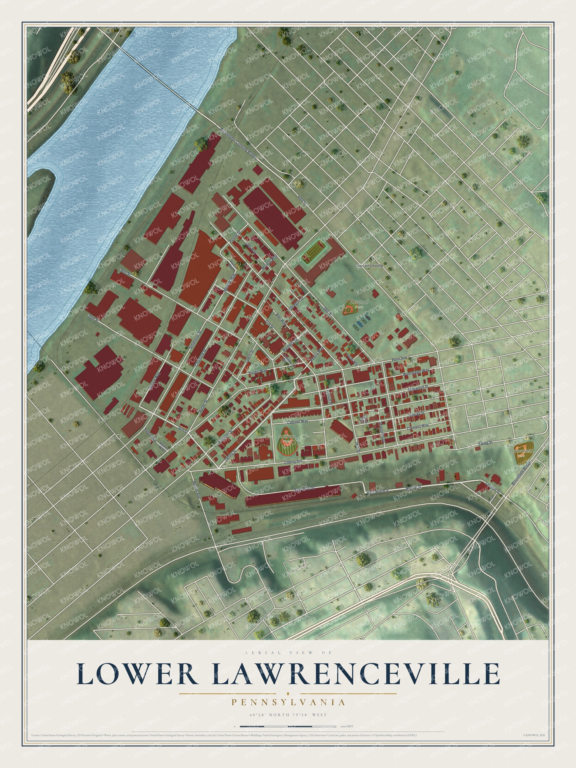
Created by KNOWOL in 2026, the print pairs muted green land with blue water and deep red buildings. Pale streets cross the view inside a cream border. The title panel reads AERIAL VIEW OF LOWER LAWRENCEVILLE, PENNSYLVANIA, with 40°28' NORTH 79°58' WEST below.
Hang it in a living room, office, or entryway to keep home close. It's a thoughtful gift for someone who grew up near Arsenal Park or moved away from Butler Street. Open the preview and look for the block you know best. See sizes and frames for the Lower Lawrenceville map.