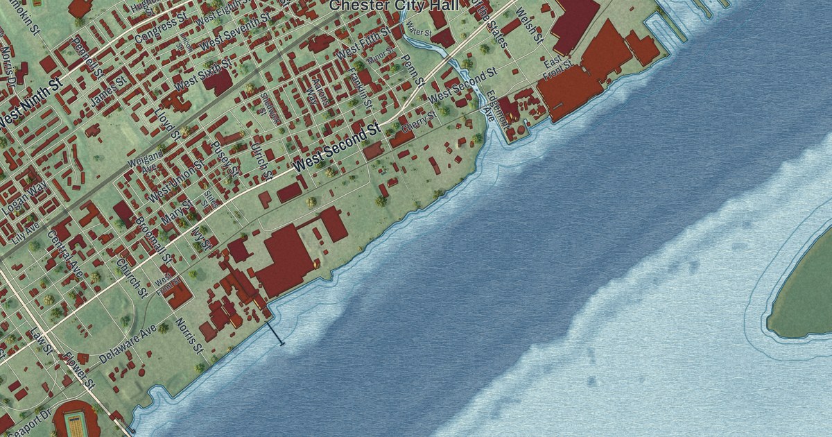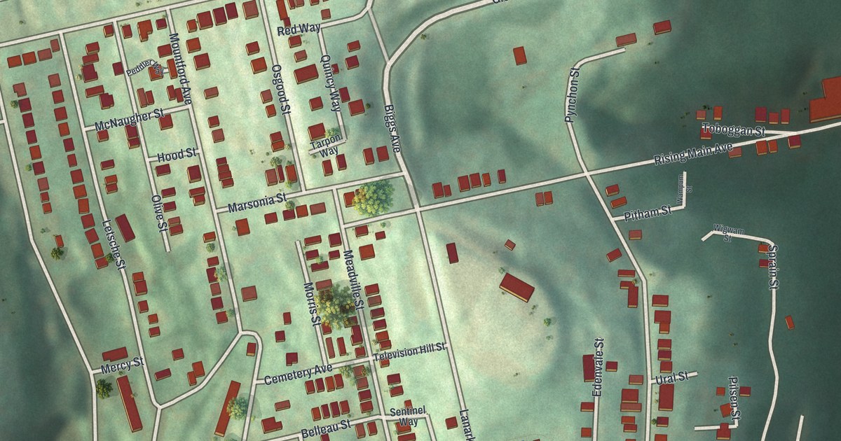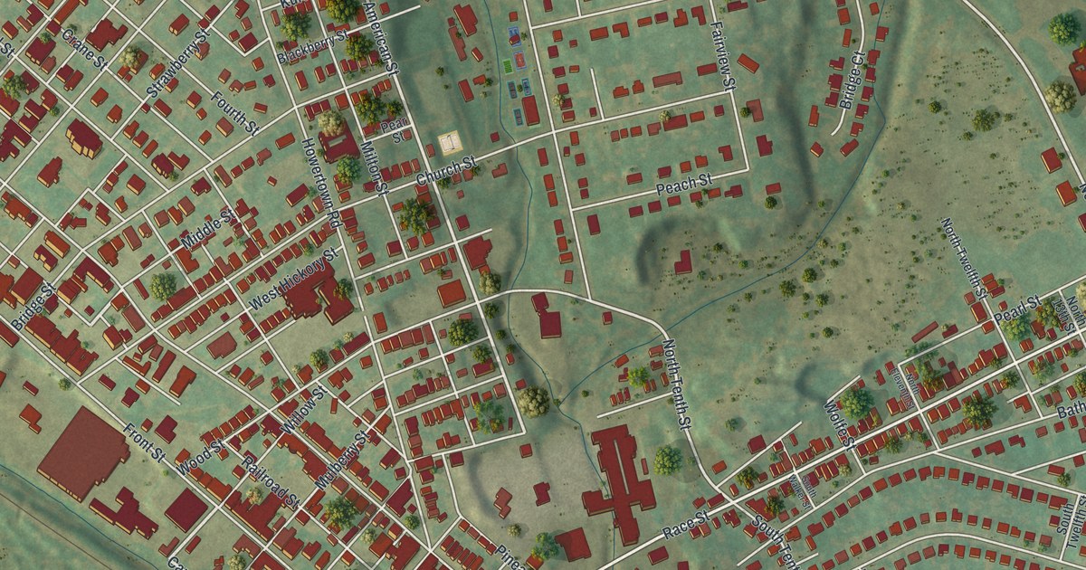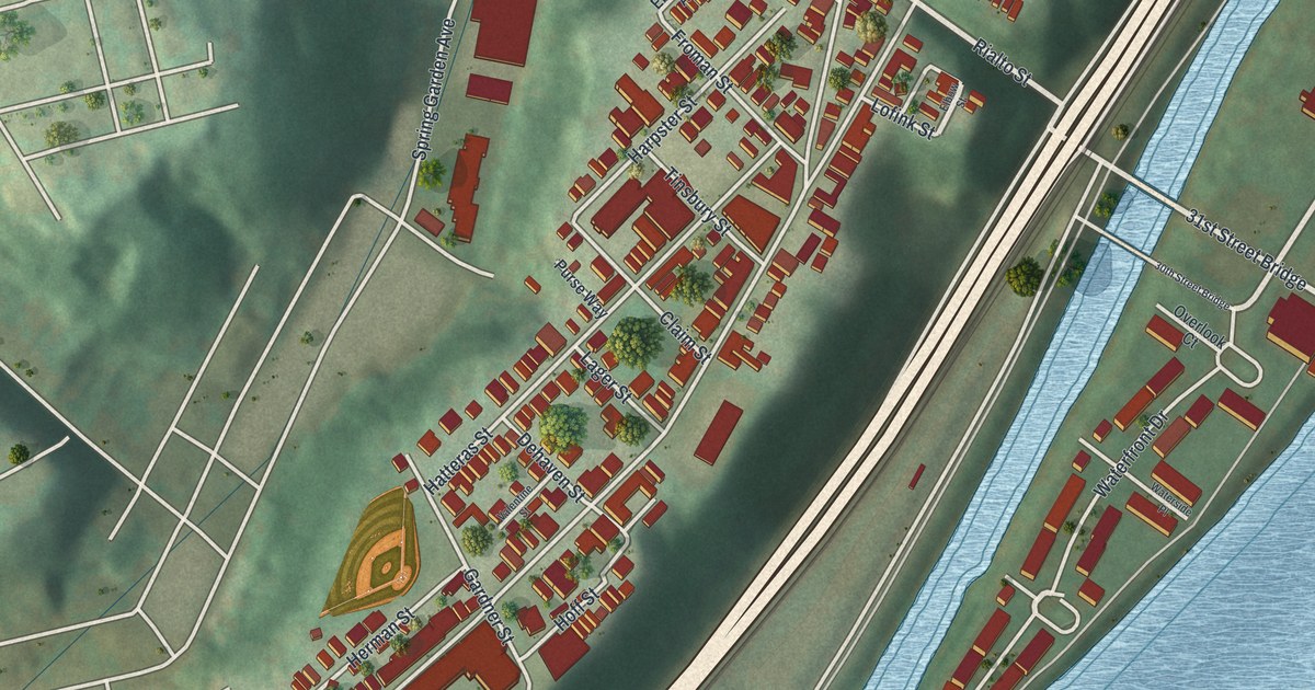
If you grew up on Troy Hill, look for your old block in this print. It's a modern aerial view of Troy Hill in Allegheny County, Pennsylvania, made with modern data and a vintage feel. Red buildings line the hill above a broad blue river. Green slopes frame the close rows of homes.
Lowrie Street, Rialto Street and Troy Hill Road
On this map you'll find Lowrie Street, Troy Hill Road, Rialto Street, Brabec Street, Ley Street, Goettman Street, Straubs Lane, East Ohio Street, River Avenue, 31st Street Bridge, Cowley Park, and more. Each red shape is a building, so zoom in on the preview and look for yours.
St. Nicholas and the Croatian Families Who Came Here
The St. Nicholas historical marker tells the story of America's first Croatian Catholic parish. It began in 1894. Its 1901 church became a center of Croatian faith and social life. Families had fled religious, economic and political hardship to seek new lives in Pittsburgh. Familiar terrain and chances for work drew them here. A 14-year effort to save the church ended with its loss in 2013. The church and grotto were torn down that year. The marker's East Ohio Street location is just south of the 31st Street Bridge. You'll find both road names on this map.
Keep Troy Hill Close
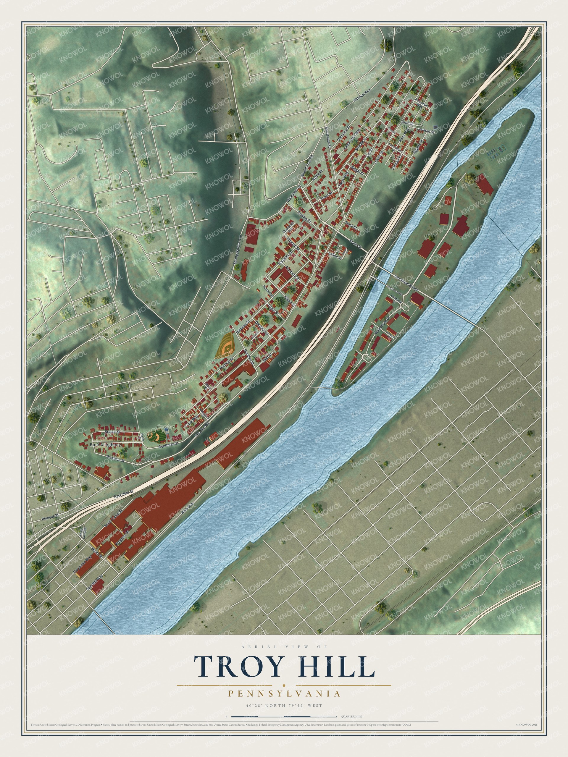
Created by KNOWOL in 2026, this print pairs green hills, red buildings and blue water with a cream border. The title panel reads AERIAL VIEW OF, TROY HILL, PENNSYLVANIA, with 40°28' NORTH 79°59' WEST beneath it.
Hang it in a living room, home office or entryway. It's a gift for someone who grew up near Lowrie Street and now lives far away. Open the preview and look for the block you'd want to keep close. See sizes and frames for the Troy Hill map.