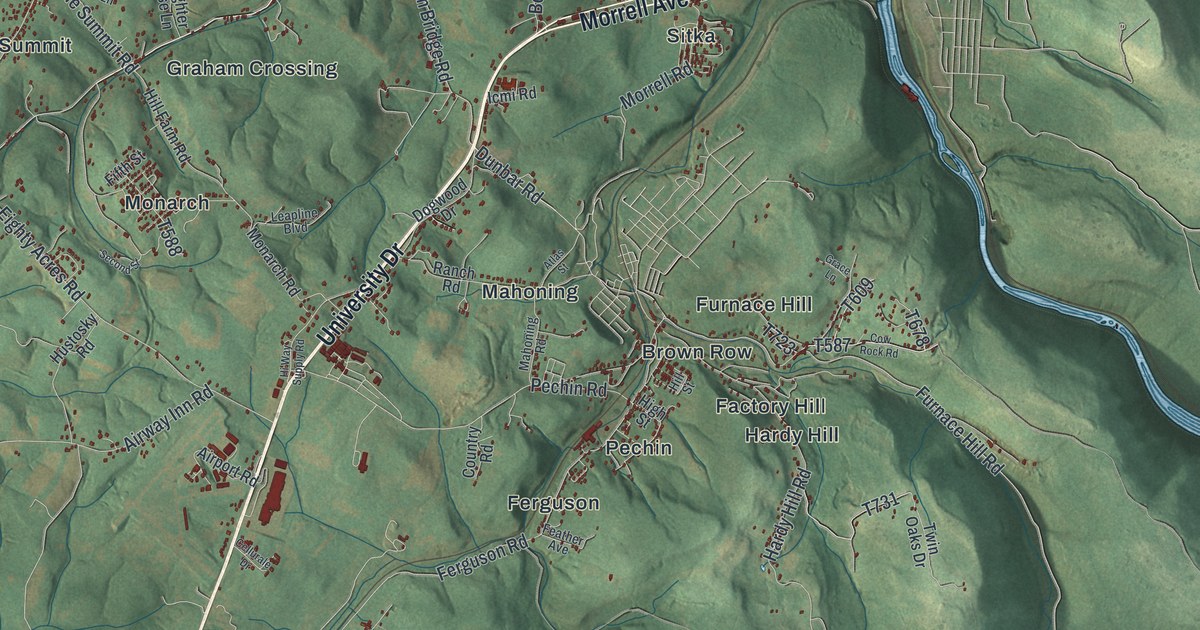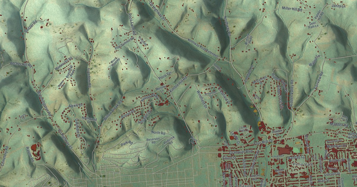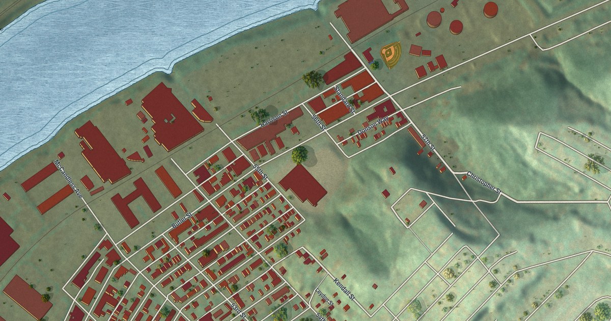
If you grew up in Upper Lawrenceville, look for your block on this print. It's a modern aerial view of this Allegheny County, Pennsylvania neighborhood, made with modern data and a vintage feel. Red buildings fill the close-set streets between a wide blue river and green hills. Larger buildings line the flat ground beside the water.
Butler Street, Holmes Street and McCleary School
On this map you'll find Butler Street, McCandless Avenue, Keystone Street, Holmes Street, 52nd Street, 53rd Street, 54th Street, 55th Street, 56th Street, 57th Street, Carnegie Street, and more. Each red shape is a building, so zoom in on the preview and look for yours.
McCleary Elementary School has a place in the neighborhood's recorded history. The National Register lists it at Holmes Street and McCandless Avenue. It was added in September 1986. Both street names appear on this map, giving you a way to find the school's corner among the red buildings.
Keep Upper Lawrenceville Close
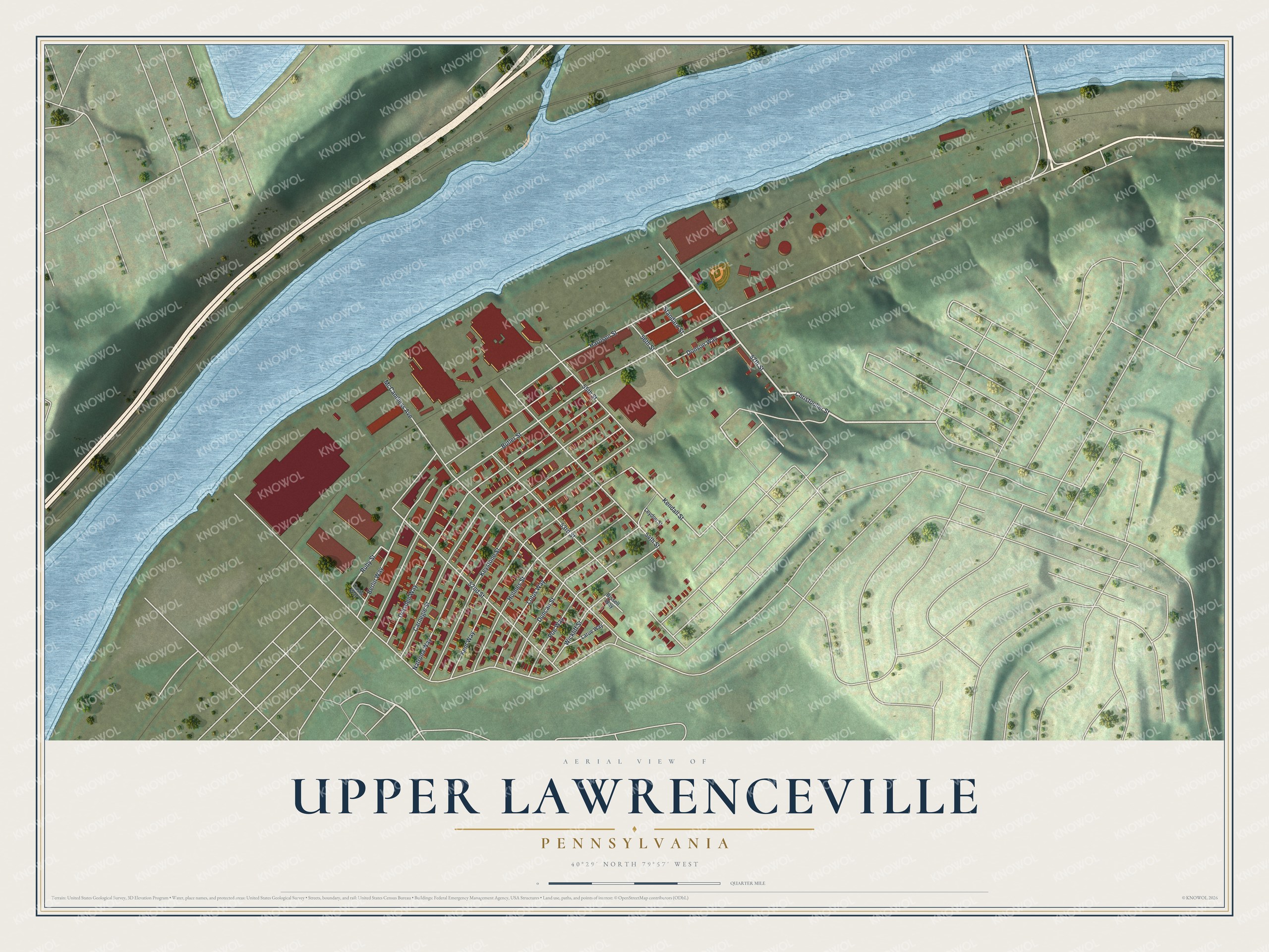
Created by KNOWOL in 2026, the print pairs red buildings with blue water, green hills and fine pale streets. A cream border surrounds the view. The title panel reads AERIAL VIEW OF, UPPER LAWRENCEVILLE, PENNSYLVANIA, with 40°29' NORTH 79°57' WEST below.
Hang it in a living room, hallway or home office. It's a thoughtful gift for someone who grew up near Butler Street or moved away from Upper Lawrenceville. Open the preview and look for the block you'd want to keep close. See sizes and frames for the Upper Lawrenceville map.