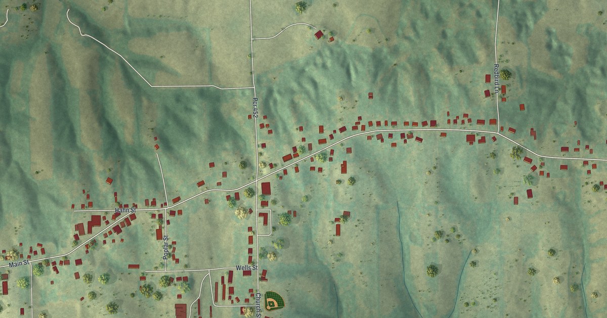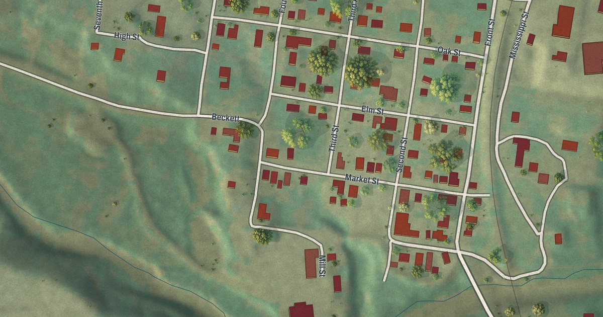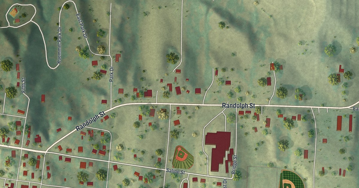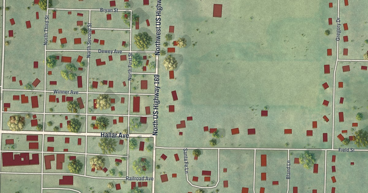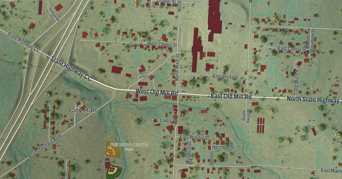
If you grew up in Fair Grove, look for your old street. This modern aerial view of Fair Grove in Greene County, Missouri uses modern data with a vintage feel. Red buildings, pale roads, and blue creeks spread across green hills. The view takes in the town's close-set blocks and the open land around them.
Fair Grove's First Log School House
On this map you'll find North Main Street, South Main Street, West Old Mill Road, East Old Mill Road, City Hall, North Orchard Boulevard, Draper Street, East Maple Street, North Swan Street, Cottonwood Street, and more. Each red shape is a building, so zoom in on the preview and look for yours.
Fair Grove's first building was a log school house. The 1883 History of Greene County, Missouri calls it Duke's school house, built in 1846. The same account says the town was never formally laid out. It describes woods, good soil, and farms around the settlement. Today's map shows blocks along North Main Street and South Main Street, set among green hills. This view brings the streets and their surrounding hills together on one sheet.
Fair Grove and Its Surrounding Hills
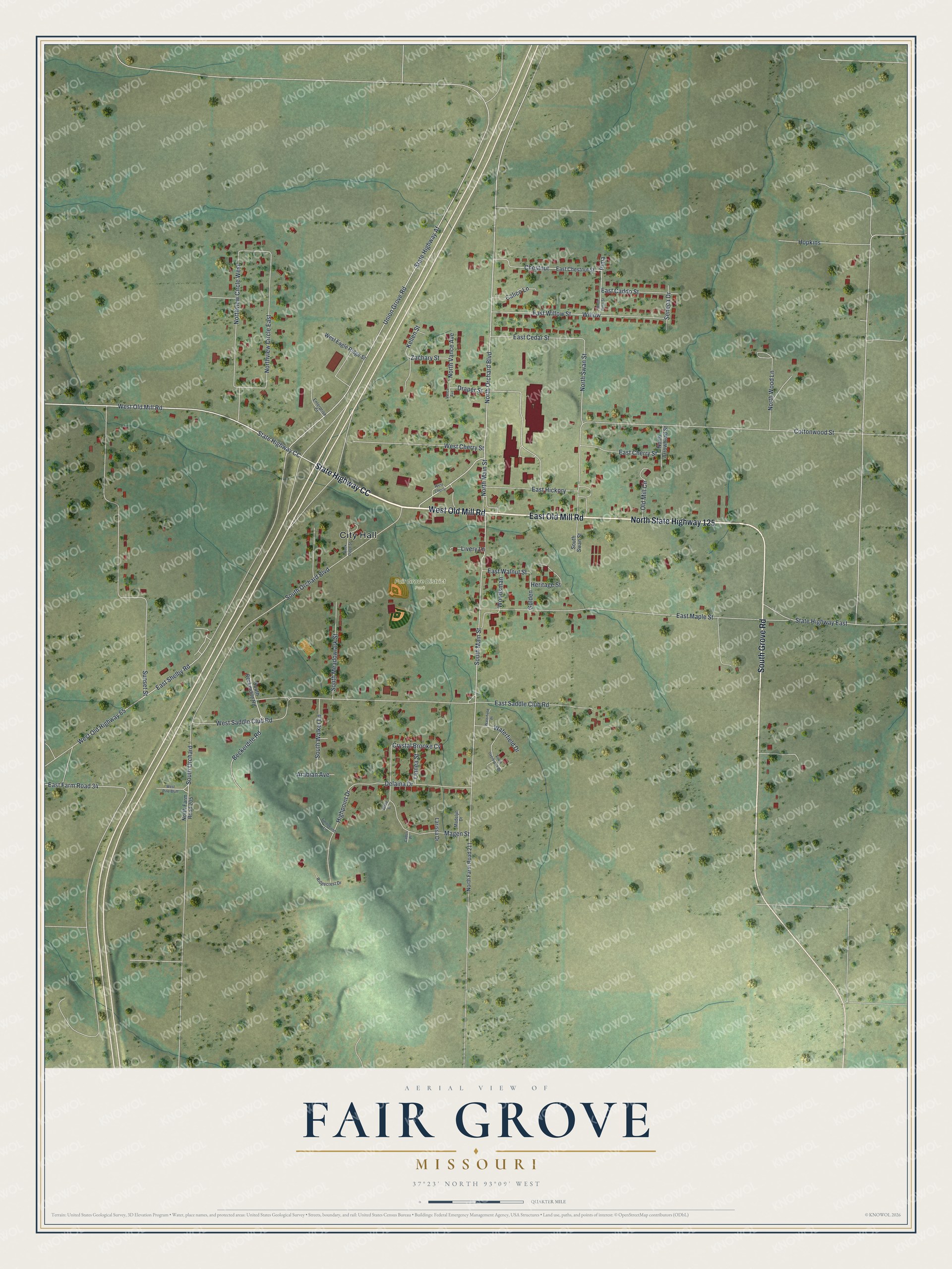
Created by KNOWOL in 2026, the print pairs soft green terrain with red buildings and fine blue creeks. A cream border surrounds the view. The title panel reads AERIAL VIEW OF, FAIR GROVE, MISSOURI, with 37°23' NORTH 93°09' WEST below.
Hang it in a living room, home office, or entryway. It's a gift for someone who grew up near West Old Mill Road and wants to keep home close. Open the preview to find a familiar block and see the whole town view. See sizes and frames for the Fair Grove map.