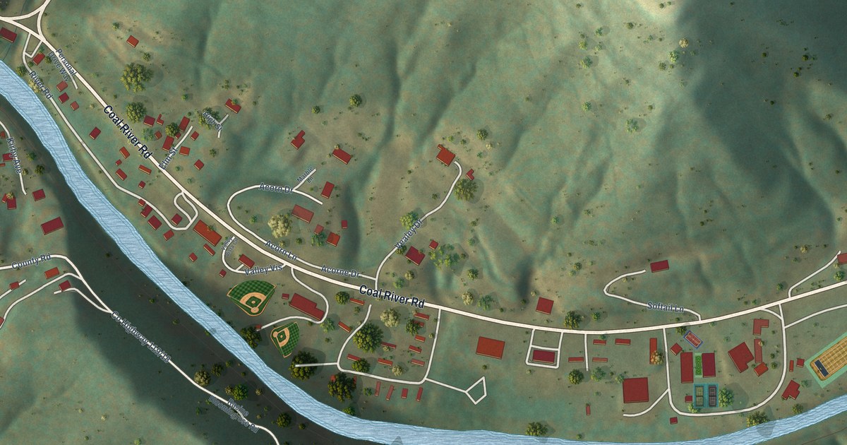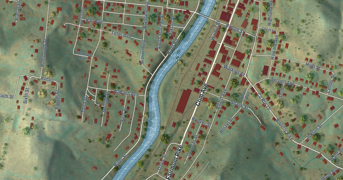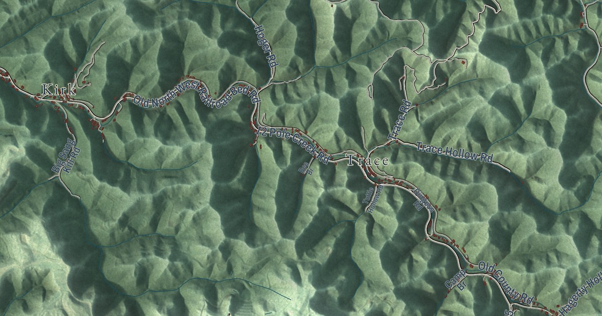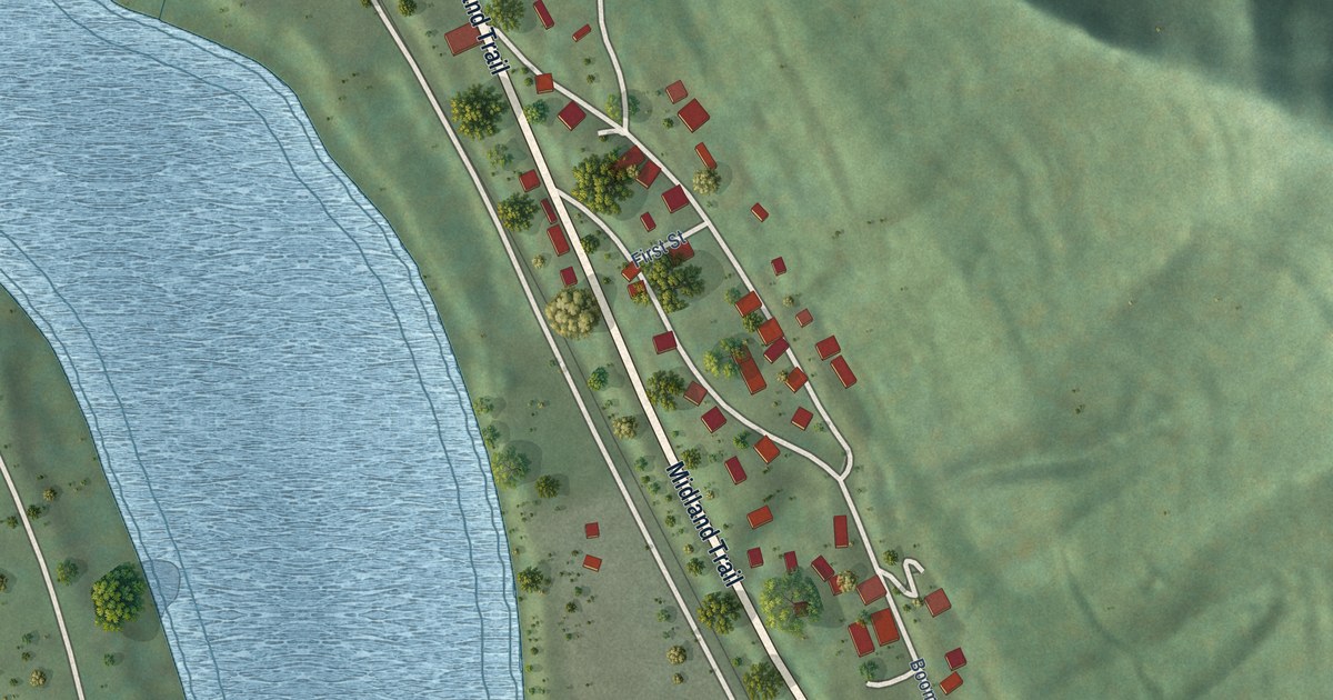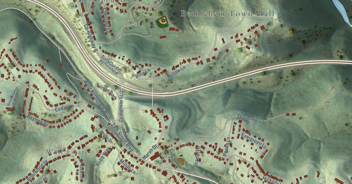
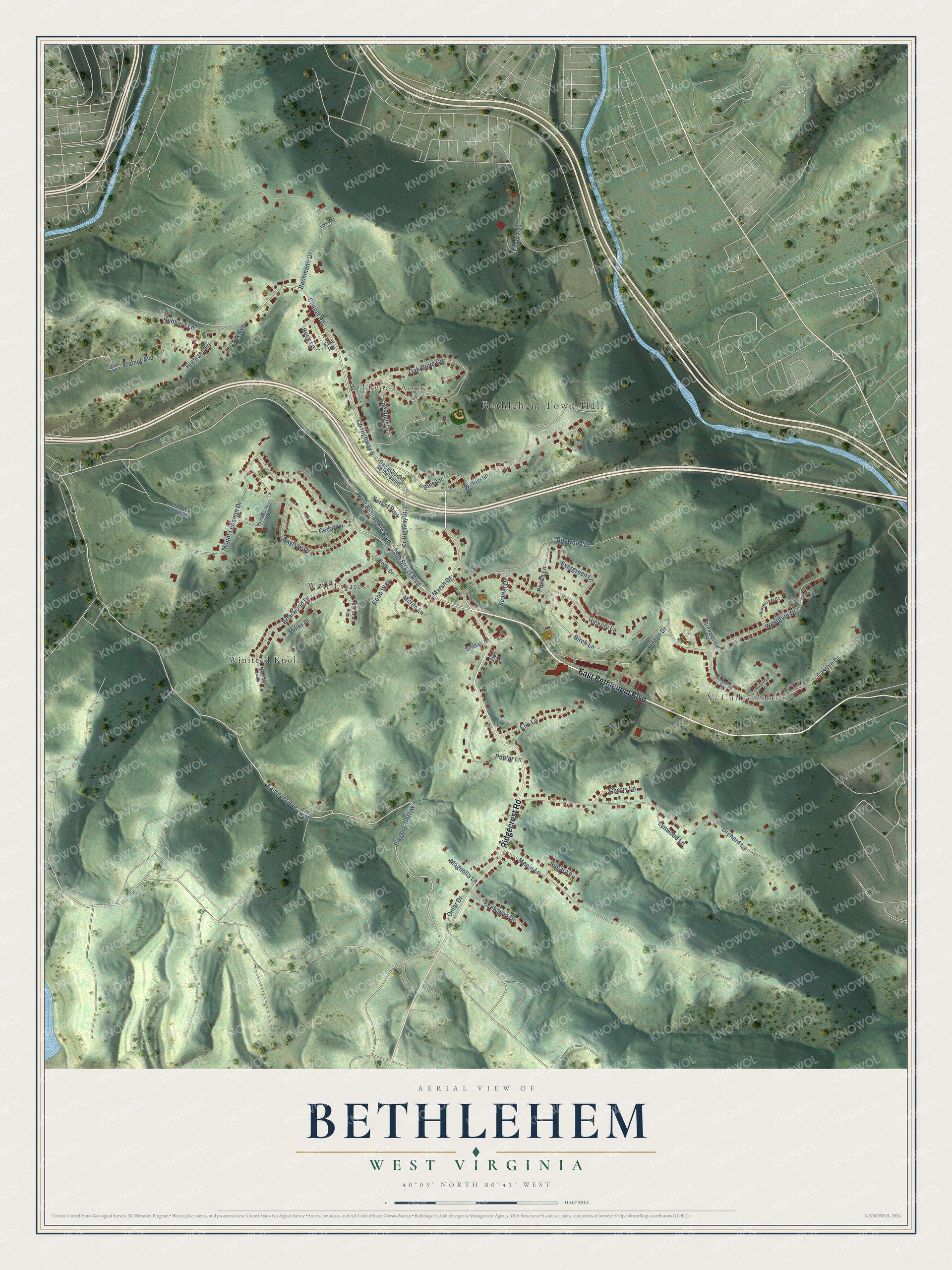
This beautifully detailed map of Bethlehem, West Virginia was created in 2026 using aerial imagery combined with modern topographical, census, street and landmark data. It’s a one-of-a-kind view of Bethlehem that combines accurate data with a vintage aesthetic. The map shows every building in its true location, many of the roads carry their names, and the shaded topographic relief shows the shape of the land.
Explore an aerial view of Bethlehem, West Virginia
On the map you’ll find Bethlehem Town Hall, McCulley Estates, Wildwood Acres, Winifred Knoll, and Wolf Estates, along with East Bethlehem Boulevard, Ridgecrest Road, Chapel Road, Fairmont Avenue, West Bethlehem Boulevard, Cedar Lane, 29th Street Boulevard, and more. If you look closely you can even find your house accurately drawn in its correct location. Zoom in on the preview to look for yours.
Did you know this piece of Bethlehem, West Virginia history?
From the West Virginia Archives and History: "The son of German immigrants, Reuther was born 1 September 1907 in Wheeling, Influenced by his father's work in the labor movement, he moved to Detroit, where he worked for Ford and organized auto workers. One of 20th century's most influential labor leaders, he served as president of CIO. Killed in plane crash on May 9, 1970."
Take a closer look at the Bethlehem map
Street and place names on the Bethlehem, West Virginia map
These names are printed on the map of Bethlehem, West Virginia.
Places: Bethlehem Town Hall, McCulley Estates, Wildwood Acres, Winifred Knoll, Wolf Estates and Forest Park.
Streets and roads: East Bethlehem Boulevard, Ridgecrest Road, Chapel Road, Fairmont Avenue, West Bethlehem Boulevard, Cedar Lane, 29th Street Boulevard, Piggery-Hollow, Bock Lane, Mount Lebanon Drive, Elk Avenue, County Highway 6.
More street names, A to Z
Bachman Drive, Bachmann Drive, Baytree Drive, Beehaven Drive, Birch Lane, Breazieview Ests, Briarwood Drive, Caldwell Run Road, Castlyn Drive, Cherry Lane, Chestnut Lane, Dans Cut-Off Bethelehem, Dogwood Lane, Elm Lane, Etta Road, Evergreen Lane, Flynn Avenue, Greentree Road, Hickory Lane, Highland Lane, Hubbard Lane, John Street, Lynwood Lane, Magnolia Lane, Maple Lane, Marsh Drive, Miller Place, Milton Lane, Northcrest Court, Oak Drive Circle, Omar Drive, Orchard Lane, Peach Lane, Pine Lane, Poplar Lane, Redwood Lane, Renaissance Way, Robb Way, Scarlet Drive, Sinclair Lane, Sugar Lane, Village Drive, Walnut Avenue, Westgate Drive, West View Addition, Willow Lane, Winifred Knolls, Wolfe Drive, Woodcrest Drive, Zion Lane.
See the Bethlehem, West Virginia map on a wall
The Bethlehem map as an 18 x 24 inch print in a black frame.

This beautifully detailed map of Bethlehem makes an attractive addition to your office, library, or den, and it can even be used to teach children the geography and history of the area. It also makes a great gift for anyone with Bethlehem roots. When you’re done exploring, click here to get your copy of the Bethlehem map.