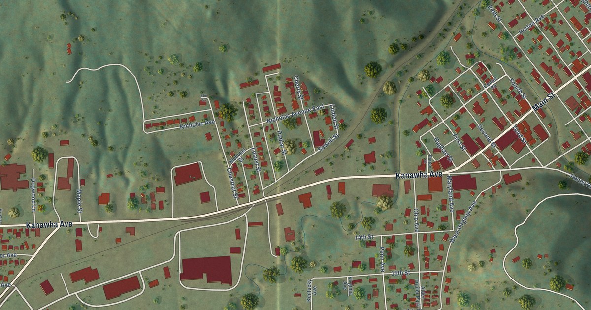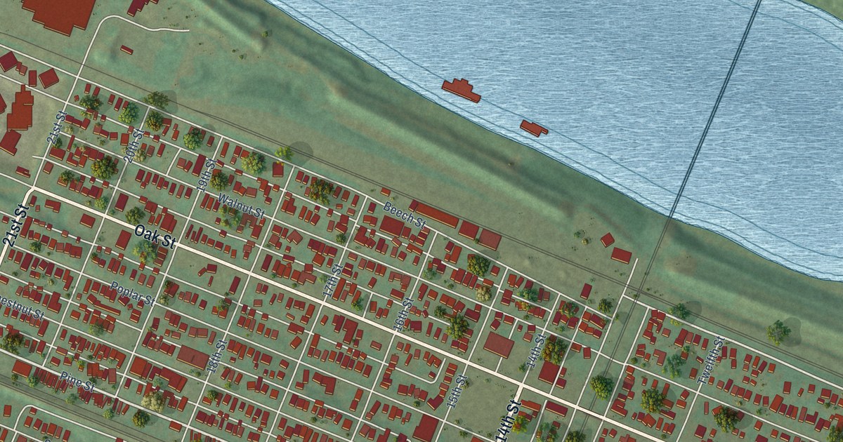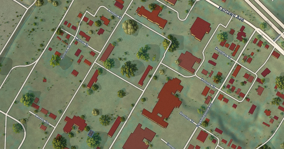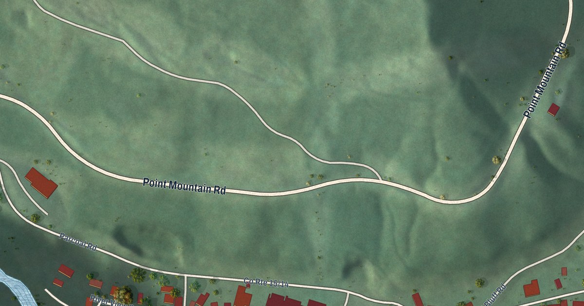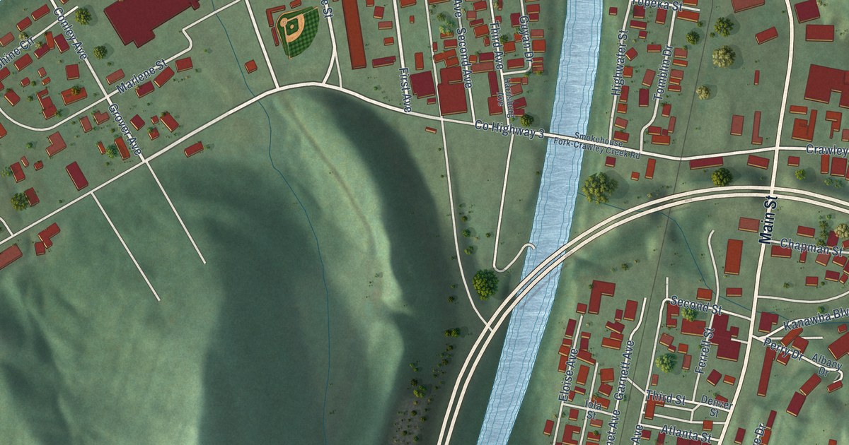
This beautifully detailed map of Chapmanville, West Virginia was created in 2026 using aerial imagery combined with modern topographical, census, street and landmark data. It’s a one-of-a-kind view of Chapmanville that combines accurate data with a vintage aesthetic. The map shows every building in its true location, many of the roads carry their names, and the shaded topographic relief shows the shape of the land.
Explore an aerial view of Chapmanville, West Virginia
On the map you’ll find Main Street, Lincoln Highway, Vance Street, County Highway 3, Crawley Ck Road, First Avenue, Riverside Drive, Tiger Circle, Grover Avenue, Conley Avenue, Crawley Creek Road, Tomblin Drive, and more. If you look closely you can even find your house accurately drawn in its correct location. Zoom in on the preview to look for yours.
Did you know this piece of Chapmanville, West Virginia history?
From the West Virginia Archives and History: "On September 25, 1861, Col. Piatt’s Zouaves of the 34th Ohio marched on Confederate positions around Chapmanville. The Logan militia under Col. J. W. Davis harassed Piatt in the hours preceding his arrival at the Rebel entrenchments but was unable to repel the Zouave advance. After Davis fell wounded, his men retreated in disarray. Col. Davis was captured, then paroled."
Take a closer look at the Chapmanville map
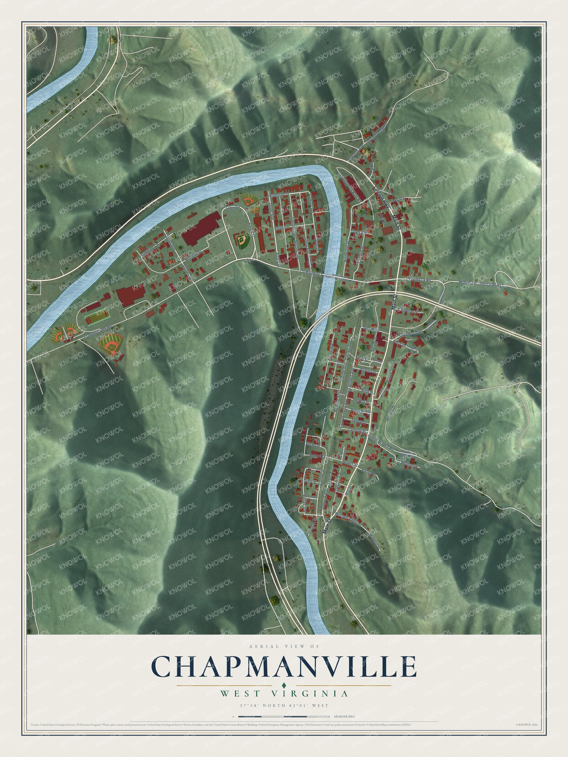
Street names on the Chapmanville, West Virginia map
These names are printed on the map of Chapmanville, West Virginia.
Streets and roads: Main Street, Lincoln Highway, Vance Street, County Highway 3, Crawley Ck Road, First Avenue, Riverside Drive, Tiger Circle, Grover Avenue, Conley Avenue, Crawley Creek Road, Tomblin Drive.
More street names, A to Z
Adams Street, Albany Drive, Ann Street, Atlanta Street, Ballard Drive, Bismark Street, Boise Street, Bowling Alley, Boxer Court, Chapman Street, Clint Gore Street, Columbia Street, Commerce Park Road, Conley Street, Denver Street, Division Street, Dogwood Manor, Dover Avenue, East Railroad Avenue, Edwards Avenue, Elaine Drive, Eloise Avenue, Farley Drive, Farley Street, Ferrell Avenue, Ferrell Street, Fifth Street, Fowler Branch Road, Fowlers Branch Road, Frankfort Avenue, Friendly Neighborhood Drive, Garnet Avenue, Garnett Avenue, Guyan Drive, Hamilton Drive, Harrisburg Avenue, Helena Street, Highwater Street, Hill Drive, Iola Street, Johnson Boulevard, Kanawha Boulevard, Kanawha Branch Boulevard, Lansing Street, Little Rock Street, Marlene Street, Mitchell Addition, Mitchell Street, Mullins Terrace, Ninth Street, Old County Road 7, Perdue Lane, Perry Drive, Plaza Street, Providence Avenue, Rhonda Drive, Salem Boulevard, Second Avenue, Second Street, Sixth Street, Smokehouse Fork-Crawley Creek Road, Sunshine Circle, Teaberry, Tenth Street, Third Avenue, Third Street, Topeka Street, Tracy Vickers Avenue, Trenton Avenue.
See the Chapmanville, West Virginia map on a wall
The Chapmanville map as an 18 x 24 inch print in a black frame.

This beautifully detailed map of Chapmanville makes an attractive addition to your office, library, or den, and it can even be used to teach children the geography and history of the area. It also makes a great gift for anyone with Chapmanville roots. When you’re done exploring, click here to get your copy of the Chapmanville map.