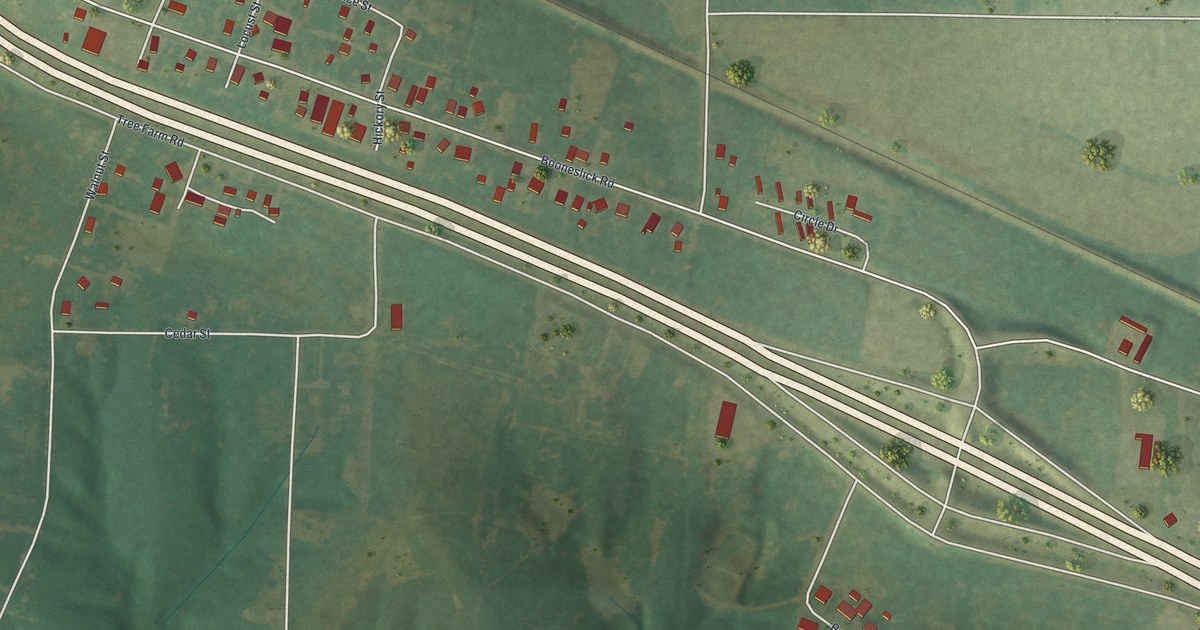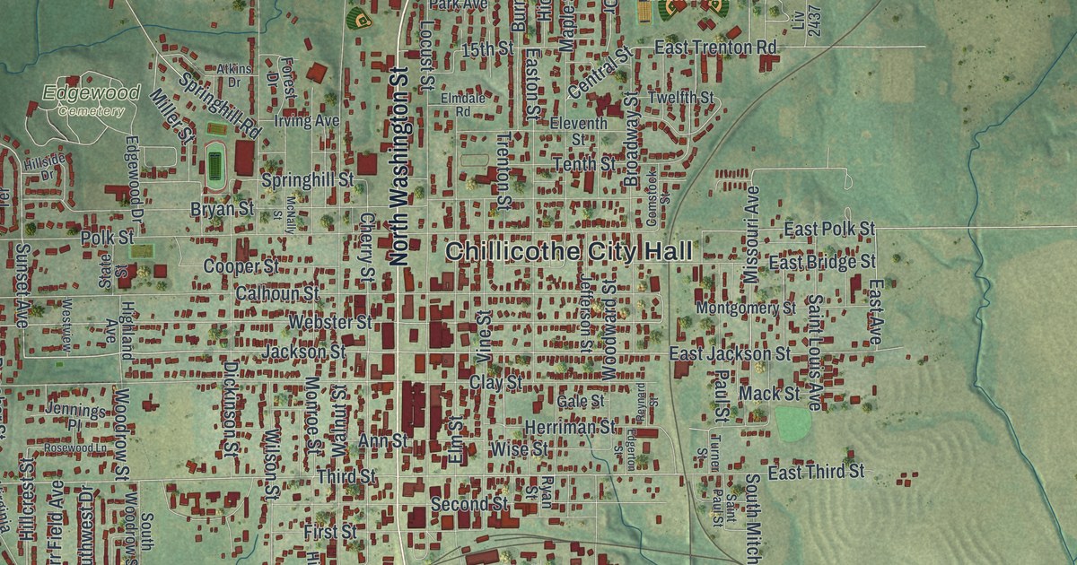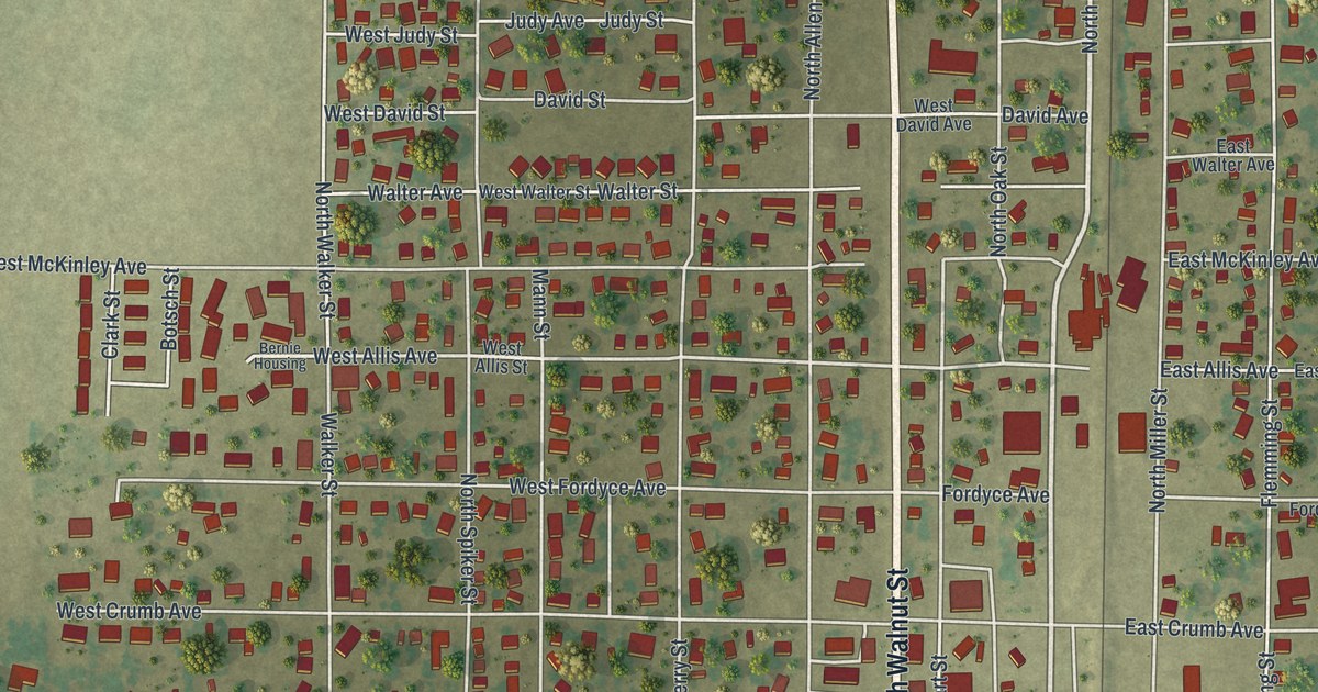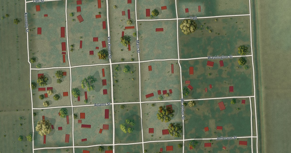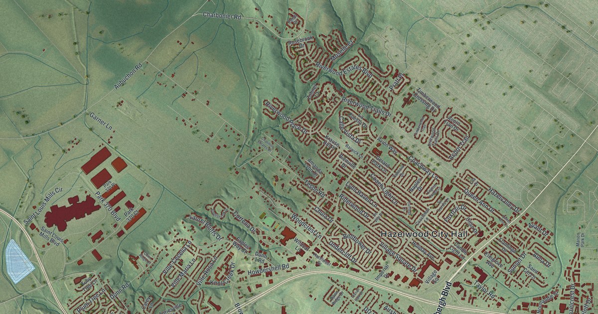
If you grew up in Hazelwood, look for your old street on this print. It's a modern aerial view with modern data and a vintage feel, showing Hazelwood in St. Louis County, Missouri. Red buildings fill the winding blocks, while a broad blue river curves across the top.
Hazelwood City Hall, Robertson and Utz Lane
On this map you'll find North Lindbergh Boulevard, Howdershell Road, Hazelwood City Hall, Dunn Road, McDonnell Boulevard, Missouri Bottom Road, Charbonier Road, Teson Road, Utz Lane, Hazelwood Avenue, Robertson, and more. Each red shape is a building, so zoom in on the preview and look for yours.
The view brings Hazelwood's close rows of homes and open green land together. Near Robertson, larger red buildings stand out from the small house shapes. For a piece of local history, the National Register lists the Utz-Tesson House at 615 Utz Lane. You can find Utz Lane by name on the print and look for a street you know nearby.
A Hazelwood view for home
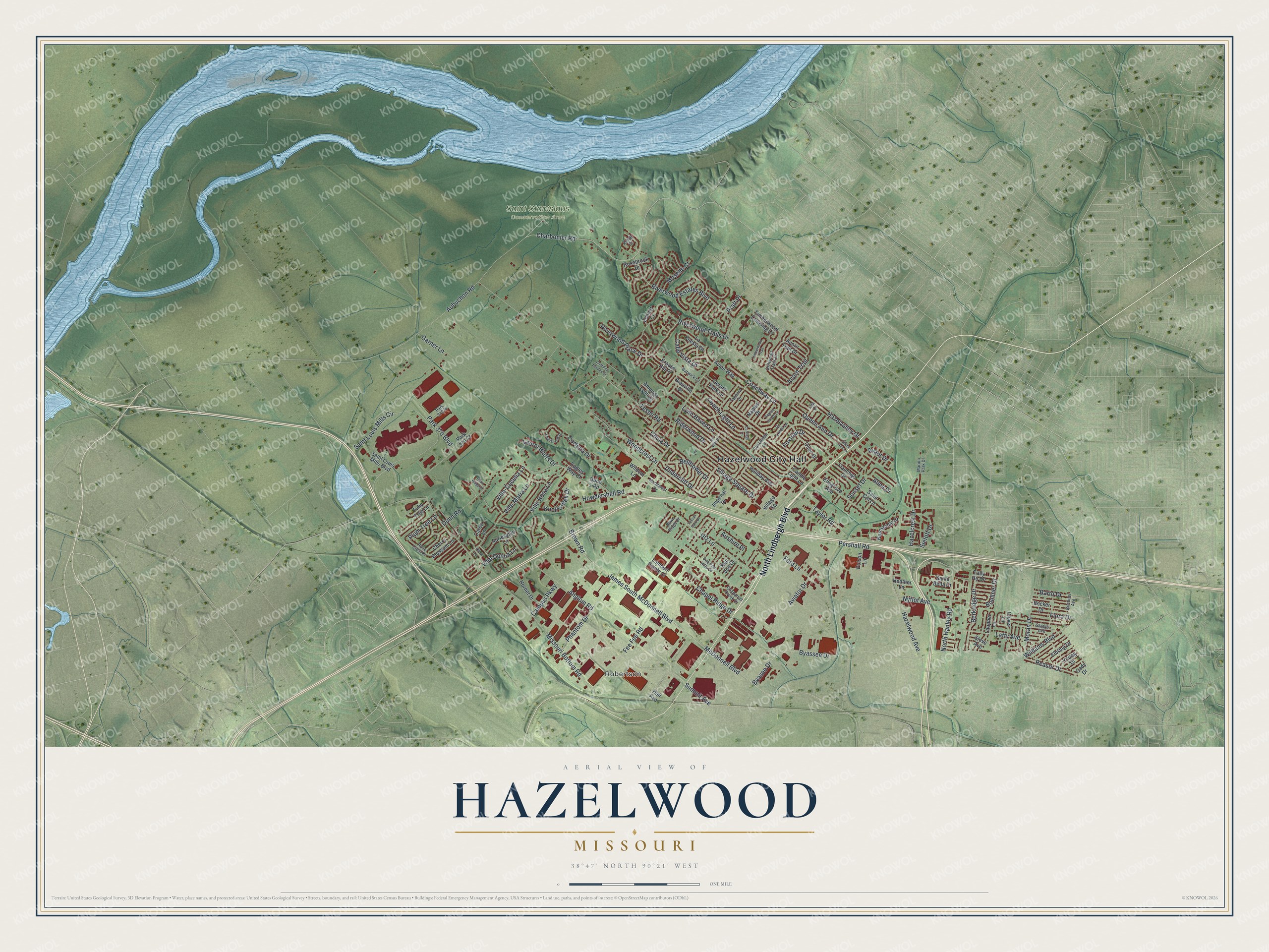
Created by KNOWOL in 2026, this print pairs soft green land with blue water and deep red buildings. A cream border surrounds the view. The title panel reads AERIAL VIEW OF HAZELWOOD, MISSOURI, with 38°47' NORTH 90°21' WEST below.
Hang it in a living room, office or entryway. It's a gift for someone who grew up near Howdershell Road or moved away from Hazelwood. Open the preview to find the streets you'd like to keep close. See sizes and frames for the Hazelwood map.