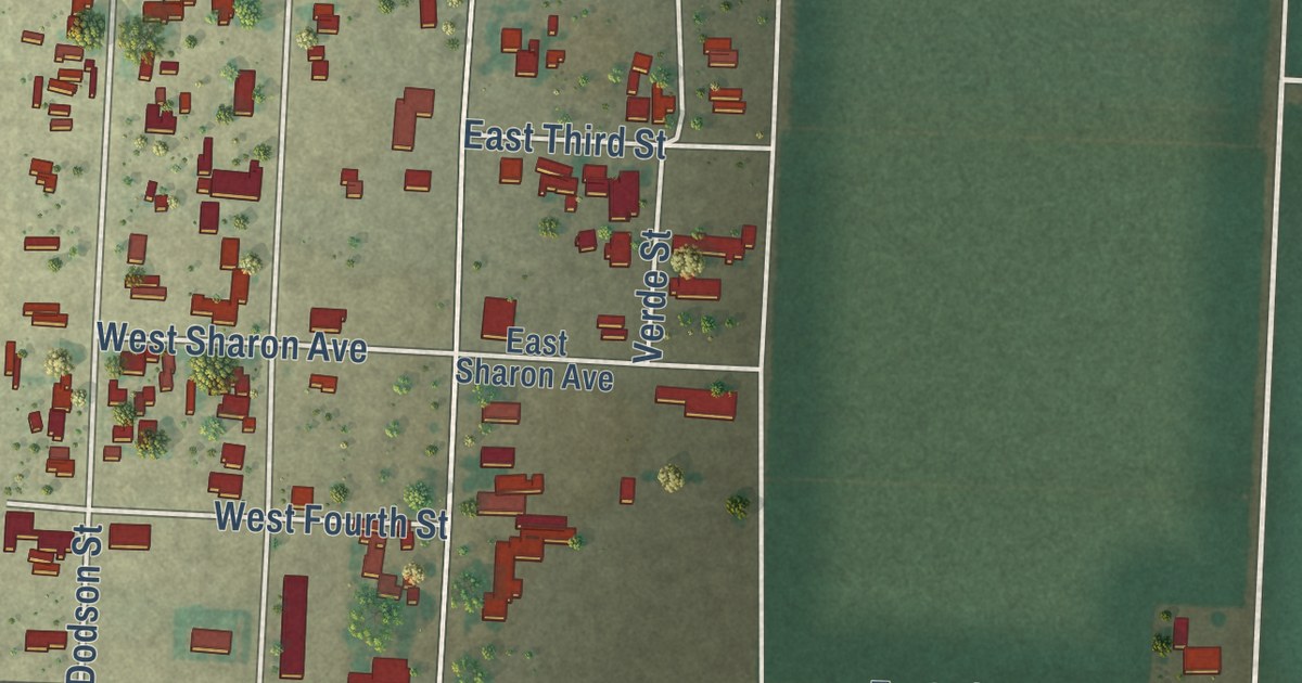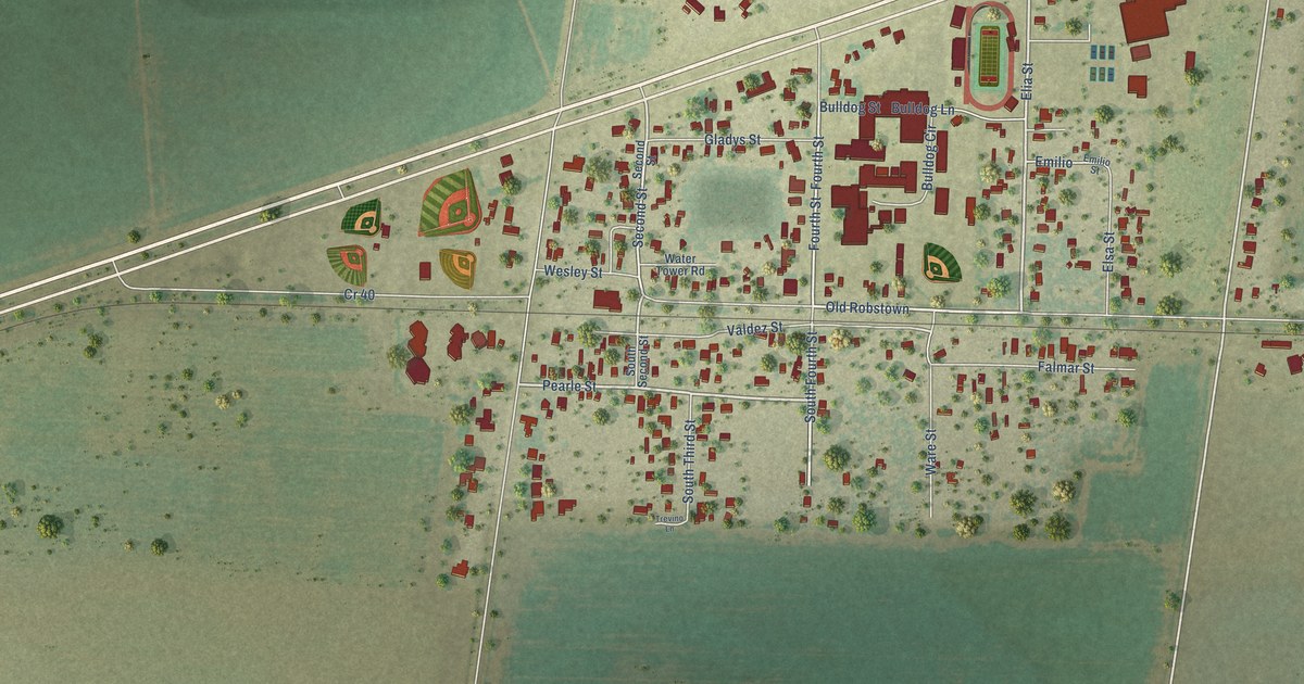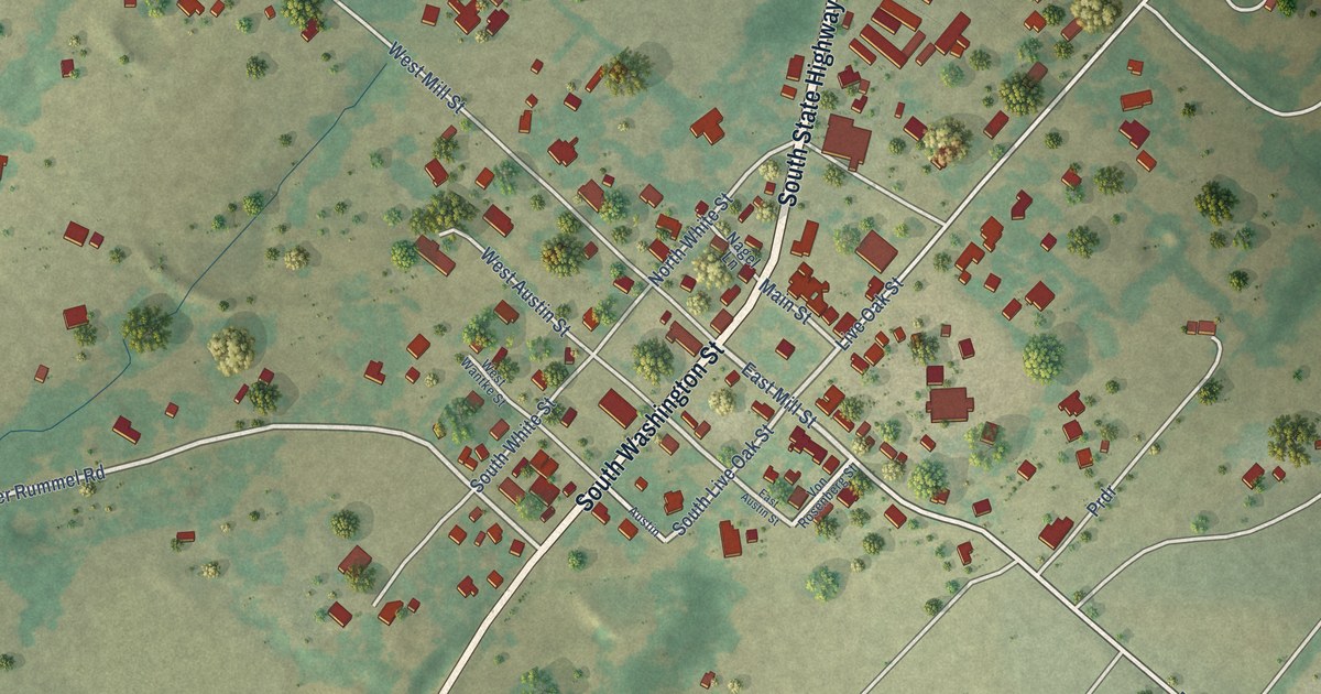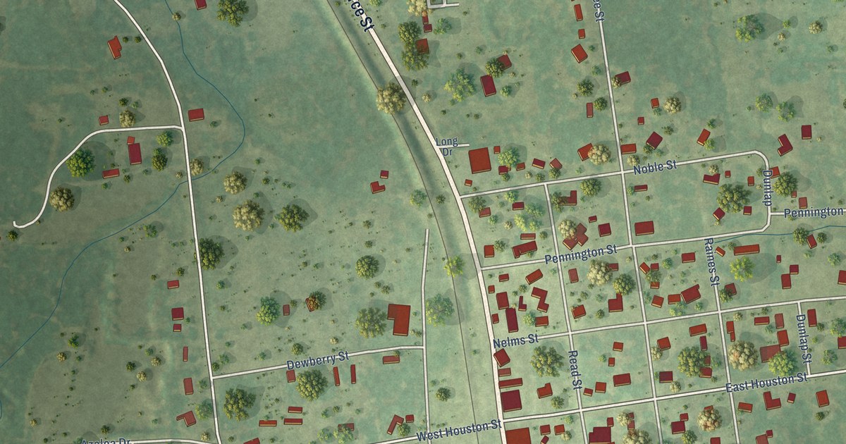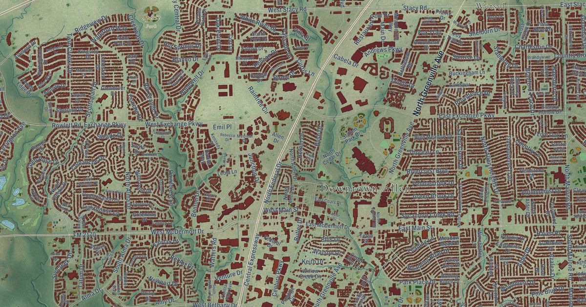
This beautifully detailed map of Allen, Texas was created in 2026 using aerial imagery combined with modern topographical, census, street and landmark data. It’s a one-of-a-kind view of Allen that combines accurate data with a vintage aesthetic. The map shows every building in its true location, many of the roads carry their names, and the shaded topographic relief shows the shape of the land.
Explore an aerial view of Allen, Texas
On the map you’ll find Downtown Allen, Forest Grove, Wetsel, Molsen Farm, and Spirit Park, along with North Greenville Avenue, West McDermott Drive, FM 2170, East Bethany Drive, East Main Street, North Allen Heights Drive, Angel Parkway, and more. If you look closely you can even find your house accurately drawn in its correct location. Zoom in on the preview to look for yours.
Did you know this piece of Allen, Texas history?
From the Handbook of Texas: "The town was established in 1870 by a purchasing agent for the Houston and Texas Central Railway and named in 1872 for Ebenezer Allen, former attorney general of Texas and a promoter of the railroad."
Take a closer look at the Allen map
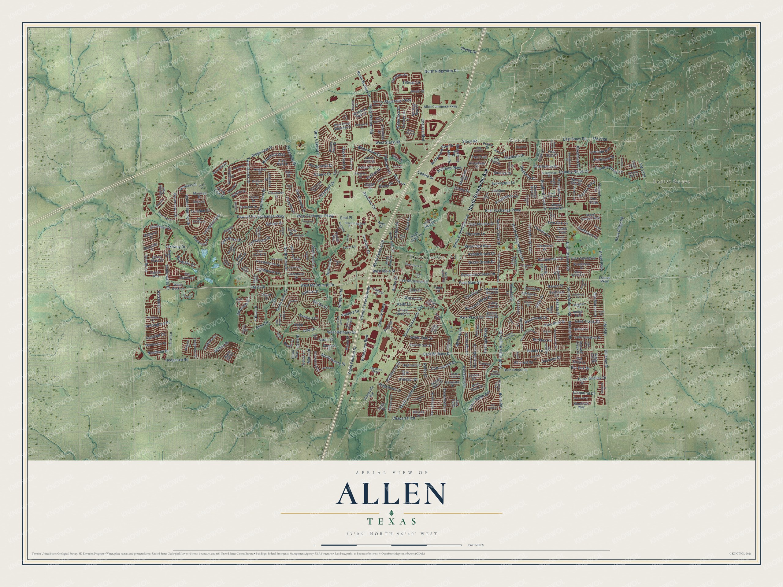
Street and place names on the Allen, Texas map
These names are printed on the map of Allen, Texas.
Places: Downtown Allen, Forest Grove, Wetsel, Molsen Farm and Spirit Park.
Streets and roads: North Greenville Avenue, West McDermott Drive, FM 2170, East Bethany Drive, East Main Street, North Allen Heights Drive, Angel Parkway, South Allen Heights Drive, Twin Creeks Drive, Bandy Lane, FM 2551, South Malone Road.
More street names, A to Z
Abby Way, Alamosa Drive, Albrook Drive, Alden Way, Alder Drive, Allen Commerce Parkway, Allen Drive, Allentown Parkway, Alma Drive, Amy Drive, Andrews Parkway, Ann's Way, Apple Hill Drive, Arbor Park Drive, Arches Park Drive, Arrowhead Drive, Ashby Drive, Ashwood Drive, Astor Drive, Autumnmist Drive, Autumn Oaks Drive, Aylesbury Drive, Azalea Drive, Balboa Lane, Baltimore Drive, Bandera Drive, Barley Place Drive, Baugh Drive, Beacon Hill Drive, Bedell Lane, Bel Air Drive, Belhaven Drive, Bell Drive, Bellnap Drive, Benton Drive, Berkley Road, Bethany Creek Boulevard, Bethlehem Road, Big Bend Drive, Birdie Drive, Blanco Drive, Bolin Road, Bolin School Road, Bradford Trace Drive, Brandywine Drive, Bray Central Drive, Brenham Court, Brett Drive, Bridle Trail, Broadmoor Drive, Brook Ridge Avenue, Buckingham Lane, Buckthorne Drive, Burnside Drive, Bur Oak Drive, Bush Circle, Bush Drive, Butler Drive, Cabela Drive, Caliche Trail, Calisto Way, Camelot Drive, Cameron Lane, Carlisle Drive, Carlton Drive, Cedar Crest Lane, Cedar Elm Lane, Central Expressway, Central Park Avenue, Century Parkway, Chambers Drive, Chaparral Drive, Chaparral Road, Charleston Drive, Chelsea Boulevard, Childress Lane, Chimney Rock Drive, Claire Lane, Clearbrook Drive, Clearlake Drive, Clear Springs Drive, Clover Drive, Colgate Drive, Collin Drive, Comanche Drive, Concho Drive, Conifer Lane, Constellation Drive, Cool Springs Drive, Cordova Drive, Cornell Lane, Cort Lane, Cottonwood Drive, Cougar Drive, Country Bend, Country Brook Drive, Country Brook Lane, Country Lane, Creekway Drive, Crestwood Court, Cross Plains Drive, Curtis Lane, Davids Way, Deercreek Drive, Del Rio Court, Devonshire Drive, Dillehay Drive, Dove Brook Drive, Eagle Lake Court, East Coats Drive, East Exchange Parkway, East McDermott Drive, Easton Lane, East Stacy Road, Edelweiss Drive, Edgewood Lane, Edison Lane, Ellis Drive, Elm Grove Drive, Emil Place, Enchanted Rock Drive, English Oak Street, Enterprise Boulevard, Estates Parkway, Eton Lane, Exchange Parkway, Fairfax Drive, Falcon Drive, Falling Leaf Drive, Farrell Lane, Federal Drive, Fieldstone Drive, Flint Ridge, FM 1378, FM 2786, Fox Trail, Fox Trail Drive, Glacier Drive, Gladewater Drive, Glendover Drive, Glenmere Drive, Glen Rose Drive, Goodman Drive, Granada Drive, Grand Canyon Way, Grassland Drive, Green Brook Drive, Greenville Avenue, Greenway Drive, Hansberry Drive, Harvest Glen Drive, Harvest Run Drive, Haven Place, Hawthorne Drive, Hedgcoxe Road, Hefner Drive, Heritage Parkway, High Meadow Drive, Highpoint Drive, Hightrail Drive, Hillcrest Drive, Hopewell Drive, Hot Springs Drive, Indigo Trail, Irvine Drive, Italy Drive, Junction Drive, Keith Drive, Kennedy Drive, Kilgore Court, Kingsley Drive, Knoll Court, Krum Court, Lakehill Lane, Lake Tawakoni Drive, Lake Travis Drive, Lakeway Drive, Lakewood Drive, Lampasas Drive, Landon Lane, Landsford Drive, Laredo Circle, Larkspur Drive, Leading Lane, Leola Lane, Lexington Avenue, Lighthouse Lane, Limestone Court, Live Oak Lane, Livingston Drive, Lizzy Lane, Llano Drive, Long Cove Court, Longwood Drive, Loring Drive, Lorraine Avenue, Lost Creek Drive, Main Drive, Malone Road, Marie Drive, Market Street, Mark Twain Drive, Marshall Drive, Matagorda Drive, Maxwell Creek Drive, McClure Drive, Meadow Mead Drive, Meandering Way, Medical Drive, Meredith Drive, Midhurst Drive, Mj Brown Street, Monica Drive, Montgomery Drive, Morning Dew Court, Naples Drive, Needham Drive, Newport Drive, North Alder Drive, North Allen Drive, North Alma Drive, North Anna Drive, North Cedar Drive, North Federal Drive, North Fountain Gate Drive, North Jupiter Road, North Malone Road, North Ridgeview Drive, North Watters Drive, North Watters Road, Nottingham Place, Ntwin Creeks Drive, Oak Brook Lane, Oak Point Drive, Olivia Way, Palisade Drive, Pampa Drive, Panorama Drive, Parkhurst Lane, Park Place Drive, Pebblebrook Drive, Pelican Drive, Pembrook Lane, Petunia Drive, Pheasant Drive, Philip Drive, Pine Bluff Drive, Pin Oak Lane, Placer Drive, Plateau Drive, Pleasant Run, Ponds Edge Drive, Prairie Drive, Prairie View Drive, Prestige Circle, Providence Drive, Pulitzer Lane, Rainforest Lane, Rainier Court, Raintree Circle, Rebecca Drive, Red Tip Drive, Restaurant Row Drive, Ridgemont Drive, Ridgeview Drive, Rio Grande Drive, Rivercrest Boulevard, River Oaks Drive, Roaming Road Drive, Rockefeller Drive, Rock Ridge Road, Rolling Ridge Drive, Rollins Drive, Roma Lane, Rose Drive, Rosewood Lane, Rowlett Road, Rushmore Drive, Rusk Drive, Rustic Trail, Saginaw Court, Salado Drive, Salvia Springs Drive, Sandy Creek Drive, San Jacinto Drive, San Leanna Drive, San Marcos Drive, San Mateo Drive, Sarah Street, Sarita Drive, Scottsman Drive, Shaddock Park Lane, Shadow Lakes Boulevard, Shady Brook Drive, Shallowater Drive, Shannon Drive, Shelborn Drive, Shelby Drive, Shelley Drive, Shetland Drive, Sleepy Hollow Drive, Snowberry Drive, South Alma Drive, South Federal Drive, South Fork Drive, South Greenville Avenue, South Jupiter Road, South Watters Road, Spencer Street, Spring Creek Drive, Stablerun Drive, Stacy Road, Stampede Drive, Starcreek Parkway, Station Park Drive, Stockton Drive, Stone Creek Drive, Stonewick Drive, Stretford Lane, Sul Ross Drive, Summerfield Drive, Suncreek Drive, Sunflower Drive, Sunrise Drive, Sussex Lane, Suzanne Drive, Sweetwater Lane, Sycamore Creek Road, Sydney Lane, Tartan Drive, Tatum Drive, Taylor Drive, Teton Street, Thoreau Lane, Tillman Drive, Timberbend Trail, Trailwood Drive, Travis Drive, Trinidad Drive, Trinity Drive, Tulare Drive, Turnberry Lane, Valley View Drive, Van Drive, Venture Drive, Villa Drive, Vineyard Drive, Virum Road, Vista Bend Drive, Walnut Springs Drive, Waterdown Drive, Waterford Way, Water Oak Drive, Waterrock Drive, Watson Drive, Watters Road, West Bethany Drive, Westbury Lane, West Exchange Parkway, Westfield Way, West Great Meadow Drive, West Main Street, West Pine Burst Drive, West Scotia Drive, West Stacy Road, White Oak Street, White River Drive, Whitman Drive, Williams Drive, Willingham Drive, Willow Creek Circle, Willow Winds Street, Wills Point Drive, Wimbledon Drive, Winding Way Lane, Windsor Drive, Winton Drive, Wood Duck Lane, Wooded Lane, Woodlake Drive, Woodmont Drive, Worchester Lane.
See the Allen, Texas map on a wall
The Allen map as an 18 x 24 inch print in a black frame.

This beautifully detailed map of Allen makes an attractive addition to your office, library, or den, and it can even be used to teach children the geography and history of the area. It also makes a great gift for anyone with Allen roots. When you’re done exploring, click here to get your copy of the Allen map.