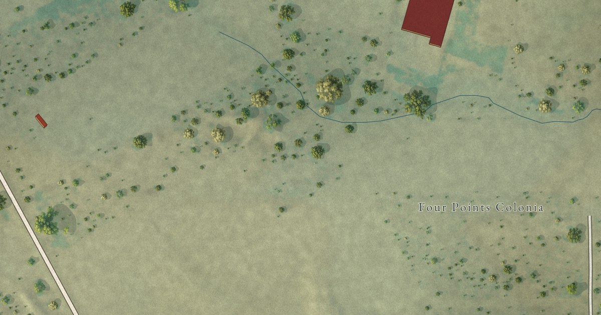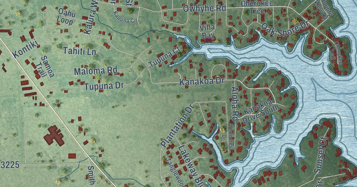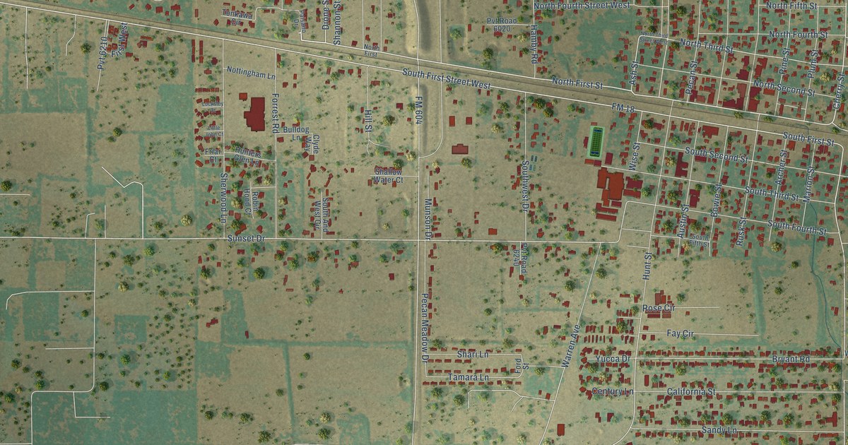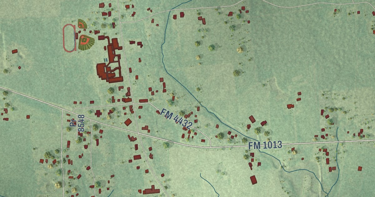
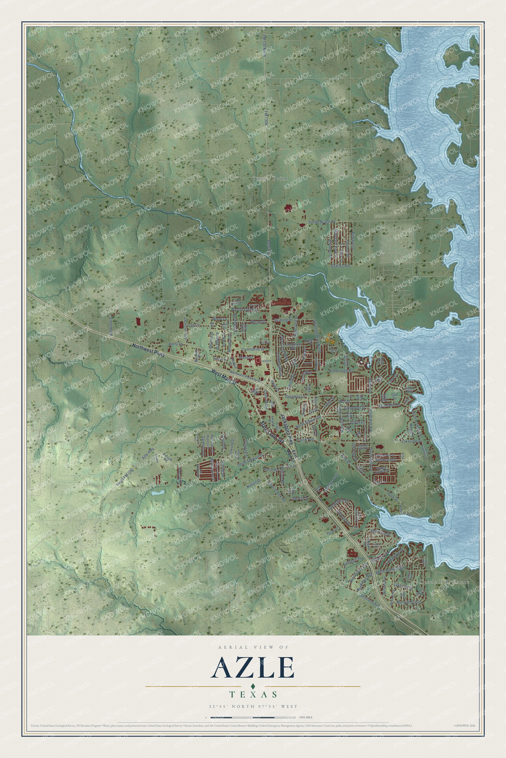
This beautifully detailed map of Azle, Texas was created in 2026 using aerial imagery combined with modern topographical, census, street and landmark data. It’s a one-of-a-kind view of Azle that combines accurate data with a vintage aesthetic. The map shows every building in its true location, many of the roads carry their names, and the shaded topographic relief shows the shape of the land.
Explore an aerial view of Azle, Texas
On the map you’ll find Castle Hill Estate, Center Point, and South FM 730, along with State Loop 344, West Main Street, Jacksboro Highway, Northwest Parkway, Azle Highway, South Stewart Street, Sandy Beach Road, Dunaway Lane, Commerce Street, and more. If you look closely you can even find your house accurately drawn in its correct location. Zoom in on the preview to look for yours.
Did you know this piece of Azle, Texas history?
From the Handbook of Texas: "The first recorded settlement at the site occurred in 1846, when a young doctor named James Azle Steward moved into a cabin built by a Dutchman named Rumsfeldt."
Take a closer look at the Azle map
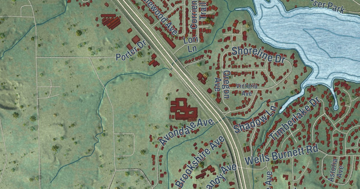
Street and place names on the Azle, Texas map
These names are printed on the map of Azle, Texas.
Places: Castle Hill Estate, Center Point and Roesser Park.
Streets and roads: State Loop 344, Jacksboro Highway, West Main Street, Northwest Parkway, South FM 730, Azle Highway, South Stewart Street, Dunaway Lane, Commerce Street, North Ash Avenue, Lake Crest Parkway, Lakeview Drive.
More street names, A to Z
Alameda Road, Anchor Way, Anderson Mill Street, Ann Court, Arledge Street, Ascot Way, Asheville Street, Ashwood Street, Astoria Avenue, Avondale Avenue, Beverly Road, Bonfield Street, Boyd Court, Boyd Road, Breezy Lane, Bridlewood Street, Bristol Lane, Brookshire Avenue, Calgary Road, Caraway Court, Carpenter Street, Central Avenue, Champoins Way, Charles Avenue, Church Street, Clew Court, Conwell Street, Corriente Trail, Dennis Drive, Denver Trail, Dusk Avenue, Dylan Court, East Main Street, Edgewater Drive, Elm Avenue, Flying Jib Drive, FM 730 North, Forsyth Road, Fowler Road, Gaff Drive, Gardenia Drive, Gipson Road, Glenhaven Drive, Glenwood Drive, Golfers Way, Gordon Drive, Harbor Drive, High Crest Drive, Huling Drive, Idlewood Avenue, Inland Circle, Inwood Drive, Inwood Road, Ivy Street, Jackson Trail, James Street, Jarvis Lane, Keel Way, Kerry Lane, Kimbrough Road, Kona Drive, Lake Ridge Drive, Lakeside Drive, Lane Street, Larchmont Way, Las Bresas Street, Lee Court, Lee Lane, Leeward Circle, Lene Street, Lilac Lane, Locust Street, Logan Drive, Lori Lane, Lynn Drive, Madeline Court, Magnolia Drive, Marina Drive, Marquette Avenue, Martha Lane, Meadowlakes Drive, Mountain View Drive, Nation Drive, Normandy Avenue, North Broadway Street, North Jarvis Lane, North Stewart Street, Northwest Parkway Street, Oak Avenue, Oak Hollow Court, Oak Ridge Drive, Oak Street, Oregon Avenue, Park Drive, Park Street, Pecan Street, Phillips Drive, Poe Street, Polly Avenue, Porter Drive, Profit Street, Red Bud Drive, Redbud Drive, Red Oak Street, Rhoades Street, Richard Lane, Roe Street, Rosebud Drive, Rosemary Drive, Sandra Drive, Sandy Beach Road, School Street, Scotland Avenue, Shadow Lane, Shadow Ridge Drive, Shady Lane, Shoreline Drive, Silver Creek Road, South Ash Avenue, South Broadway Street, South Melanie Drive, Speer Avenue, Spinnaker Lane, Sportsman Park Road, Stewart Bend Court, Stribling Drive, Stribling Drive North, Sunset Drive, Tall Meadow Street, Thomas Road, Timberlake Drive, Timberoaks Drive, Tracy Drive, Turpin Drive, Vickie Drive, Victoria Avenue, Village Garden Drive, Walnut Avenue, Walnut Creek Drive, Wells Burnett Road, Westlake Court, Westline Road, William Road, Wilshire Avenue, Wood Lane.
See the Azle, Texas map on a wall
The Azle map as an 18 x 24 inch print in a black frame.

This beautifully detailed map of Azle makes an attractive addition to your office, library, or den, and it can even be used to teach children the geography and history of the area. It also makes a great gift for anyone with Azle roots. When you’re done exploring, click here to get your copy of the Azle map.