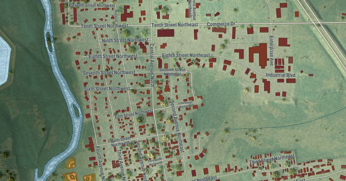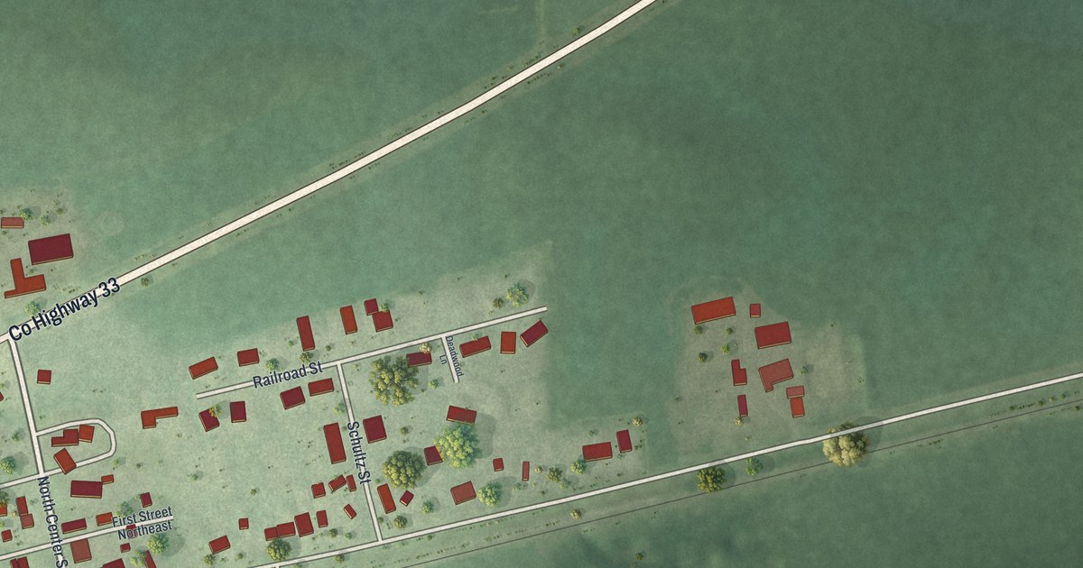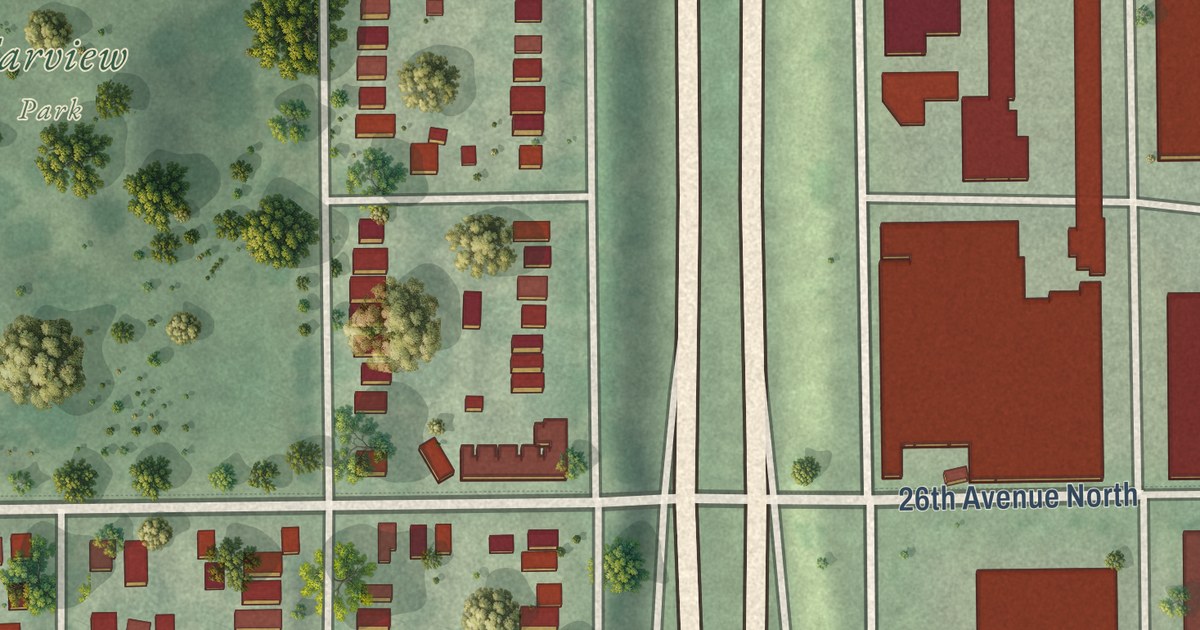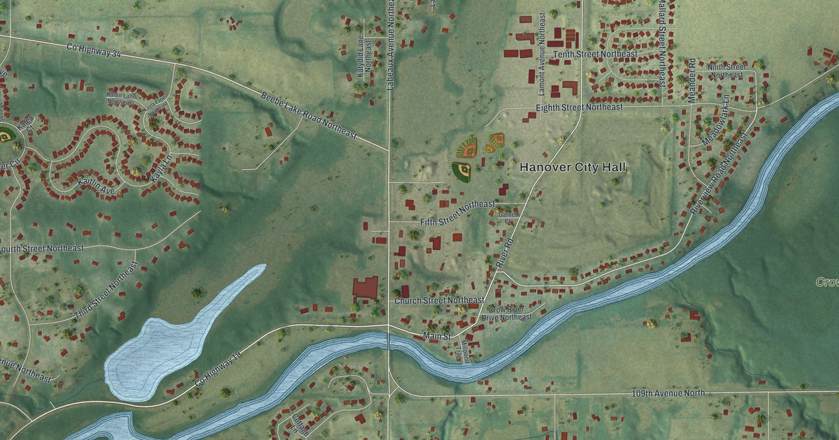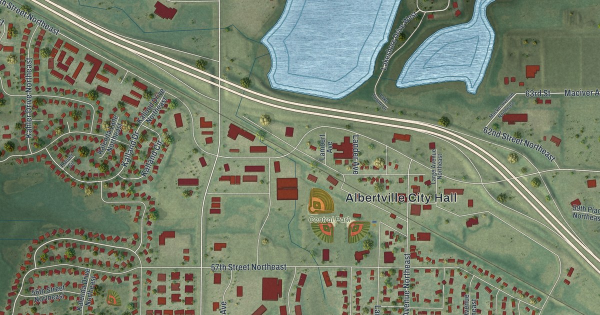
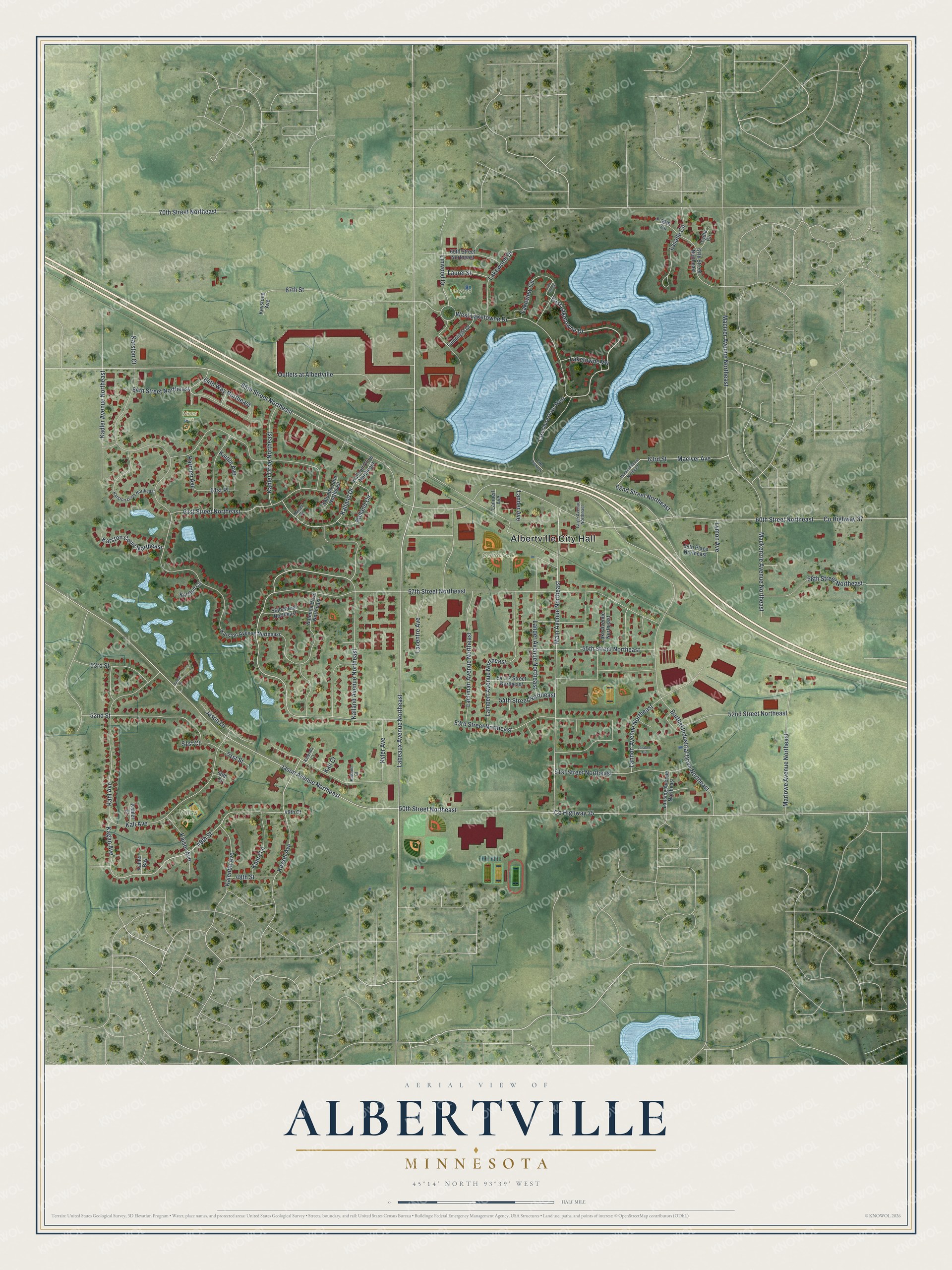
This beautifully detailed map of Albertville, Minnesota was created in 2026 using aerial imagery combined with modern topographical, census, street and landmark data. It’s a one-of-a-kind view of Albertville that combines accurate data with a vintage aesthetic. The map shows every building in its true location, many of the roads carry their names, and the shaded topographic relief shows the shape of the land.
Explore an aerial view of Albertville, Minnesota
On the map you’ll find Albertville City Hall, Central Park, Villas Park, Linwood Park, and Winter Park, along with East Laketowne Drive, Kahler Drive Northeast, 58th Street Northeast, Labeaux Avenue Northeast, 52nd Street, 49th Street, Kassel Avenue, and more. If you look closely you can even find your house accurately drawn in its correct location. Zoom in on the preview to look for yours.
Did you know this piece of Albertville, Minnesota history?
From the National Register of Historic Places: "The Albertville Roller Mill is a two story brick building significant as an example of commercial flour mills that were established in villages served by railroads."
Take a closer look at the Albertville map
Street and place names on the Albertville, Minnesota map
These names are printed on the map of Albertville, Minnesota.
Places: Albertville City Hall, Central Park, Villas Park, Linwood Park and Winter Park.
Streets and roads: East Laketowne Drive, Kahler Drive Northeast, 58th Street Northeast, Labeaux Avenue Northeast, 52nd Street, 49th Street, Kassel Avenue, County Highway 35, Maciver Avenue, County Highway 37, 70th Street Northeast, 50th Street Northeast.
More street names, A to Z
48th Street, 49th Court, 50th Court, 51st Court, 51st Street, 51st Street Northeast, 52nd Street Northeast, 53rd Street, 53rd Street Northeast, 54th Street Northeast, 55th Street Northeast, 56th Street Northeast, 57th Street Northeast, 59th Place Northeast, 60th Street Northeast, 61st Place, 61st Street Northeast, 62nd Street Northeast, 63rd Street, 64th Street Northeast, 64th Way Northeast, 65th Street Northeast, 67th Street, 67th Street Northeast, 69th Circle, 69th Street Northeast, Barthel Industrial Drive Northeast, Jason Avenue Northeast, Jason Court, Jason Lane, Kadler Avenue Northeast, Kagan Avenue, Kahl Avenue, Kahler Bay, Kahler Court, Kaiser Avenue, Kaiser Circle, Kaitlin Avenue, Kalenda Avenue, Kalenda Court, Kalenda Drive Northeast, Kalenda Lane Northeast, Kali Avenue, Kali Court, Kalland Avenue Northeast, Kalland Circle, Kalland Court, Kalland Drive, Kalland Drive Northeast, Kama Lane, Karmen Avenue, Karston Avenue Northeast, Karston Circle, Karston Court, Karston Court Northeast, Karston Drive Northeast, Keystone Avenue, Kyler Avenue, Lacentre Avenue, Lachman Avenue Northeast, Lake Avenue Northeast, Lakeshore Drive West, Lake Towne Drive, Laketowne Vw, Lakeview Circle, Lakewood Drive, Lambert Avenue, Lambert Avenue Northeast, Lamplight Drive, Lander Avenue, Lander Avenue Northeast, Lannon Avenue Northeast, Lansing Avenue Northeast, Larabee Circle, Large Avenue Northeast, Lasalle Circle, Laurel Street, Lilac Green, Linwood Drive, Lydia Circle, Lymon Avenue, Maciver Avenue Northeast, Mackenzie Avenue Northeast, Macker Avenue Northeast, Main Avenue Northeast, Marlowe Avenue Northeast, Outlets at Albertville, West Laketowne Drive.
See the Albertville, Minnesota map on a wall
The Albertville map as an 18 x 24 inch print in a black frame.

This beautifully detailed map of Albertville makes an attractive addition to your office, library, or den, and it can even be used to teach children the geography and history of the area. It also makes a great gift for anyone who grew up in Albertville or moved away. When you’re done exploring, click here to get your copy of the Albertville map.