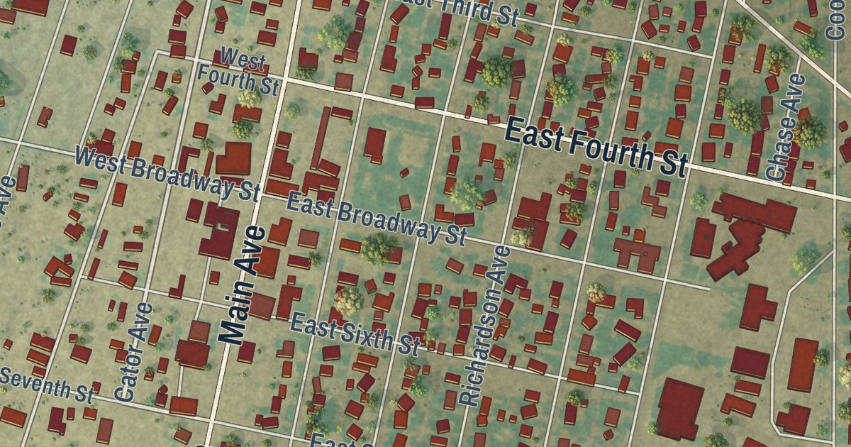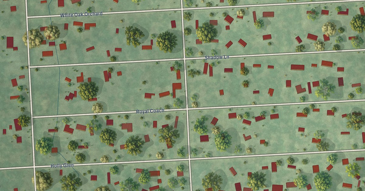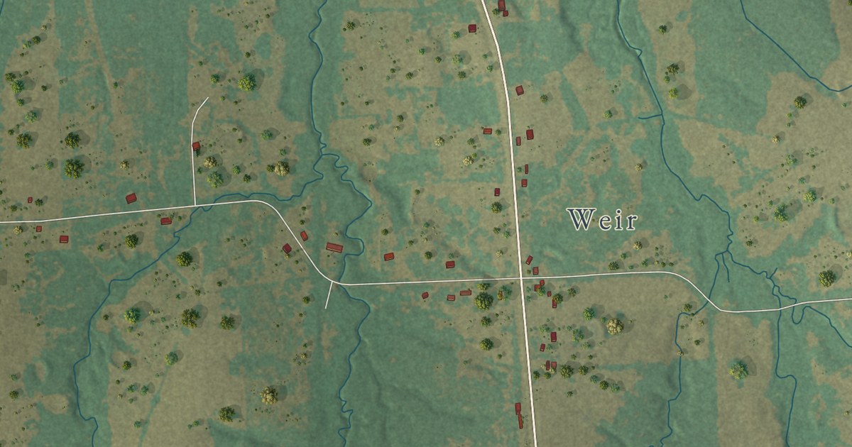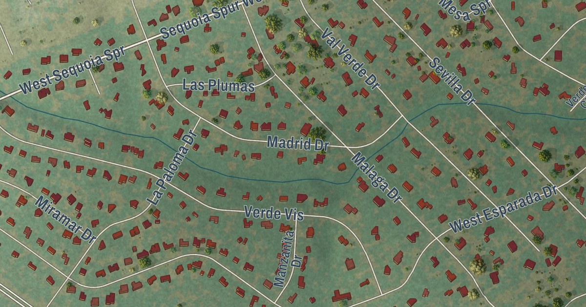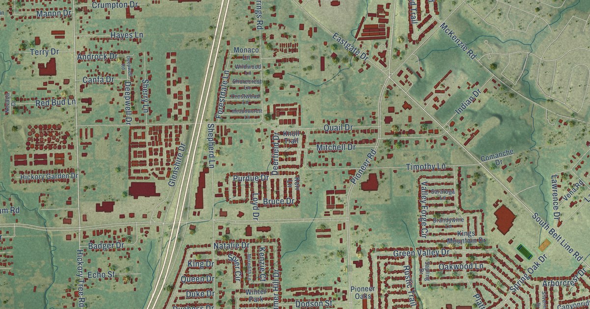
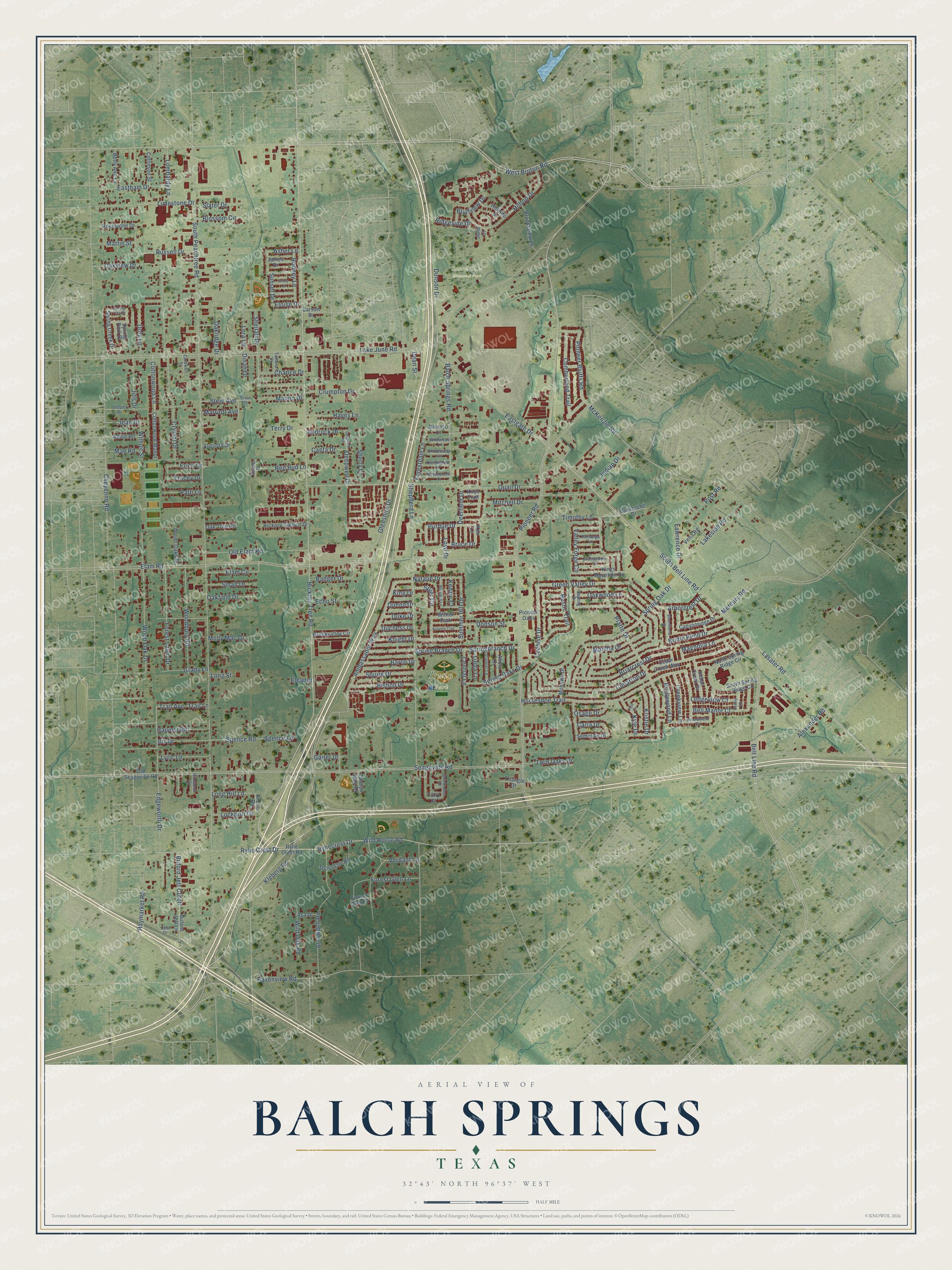
This beautifully detailed map of Balch Springs, Texas was created in 2026 using aerial imagery combined with modern topographical, census, street and landmark data. It’s a one-of-a-kind view of Balch Springs that combines accurate data with a vintage aesthetic. The map shows every building in its true location, many of the roads carry their names, and the shaded topographic relief shows the shape of the land.
Explore an aerial view of Balch Springs, Texas
On the map you’ll find Irwin Park, Laurel Oaks Memorial Park, and Buford Jett Cutoff, along with South Belt Line Road, Hickory Tree Road, West Bruton Road, Magnolia Lane, South Peachtree Road, Seagoville Road, Pioneer Road, Purdue Drive, Lora Lane, and more. If you look closely you can even find your house accurately drawn in its correct location. Zoom in on the preview to look for yours.
Did you know this piece of Balch Springs, Texas history?
From the Handbook of Texas: "In 1958 the community had a modern fire department with three fire trucks, and a post office opened in Balch Springs in September 1964."
Take a closer look at the Balch Springs map
Street and place names on the Balch Springs, Texas map
These names are printed on the map of Balch Springs, Texas.
Places: Irwin Park, Laurel Oaks Memorial Park and Winter Park.
Streets and roads: South Belt Line Road, Hickory Tree Road, West Bruton Road, Buford Jett Cutoff, Magnolia Lane, South Peachtree Road, Seagoville Road, Pioneer Road, Purdue Drive, Lora Lane, Lasater Road, Summer Hill Drive.
More street names, A to Z
Addie Road, Alexander Road, Alicia Lane, Ambassador Way, Anchor Road, Androck Drive, Arborcrest Drive, Arrowdell Road, Asa Drive, Asher Lane, Augusta Drive, Autumn Trail, Avery Lane, Badger Drive, Balch Springs Road, Baron Drive, Bell Manor Court, Belt Line Road, Betty Ann Lane, Bishop Drive, Blossom Circle, Bluffview Drive, Brandywine Lane, Briarcrest Drive, Bridle Bend Drive, Bridlewood Lane, Broadview Drive, Brooksview Lane, Brookvalley Circle, Bruce Drive, Buford Jett Lane, Canfa Drive, Canyonridge Drive, Cardwell Street, Carla Drive, Carolyn Jean Drive, Carson Drive, Cedar Creek Way, Central Lane, Charlce Drive, Cheyenne Road, Chickadee Drive, Cimarron Drive, Cochise Drive, Collinson Street, Comanche Drive, Cottonwood Lane, Cottonwood Manor, Creekview Lane, Crestwood Lane, Crumpton Drive, Crystal Drive, Culmer Lane, Cumberland Trail, Dean Street, Deepwell Drive, Deepwell Road, Deerfield Drive, Dinah Drive, Dodson Street, Doty Lane, Duchess Drive, Duke Drive, Dunson Drive, Eastgate Drive, Eastham Drive, Echo Street, Edgeworth Drive, Elam Circle, Elam Road, Eleanor, Eloise Drive, Erich Drive, Forestdale Lane, Forest Glen Court, Forest Glen Lane, Forest Lawn Drive, Gaiter Drive, Glenshire Drive, Grady Lane, Green Oaks Drive, Green Valley Drive, Harvest Road, Hayes Lane, Haymarket Road, Hickory Garden Drive, Hillside Drive, Hilltop Drive, Horseshoe Trail, Indian Creek Drive, Indian Drive, Iris Drive, James Drive, Jean Drive, Jills Drive, Julie Court, Kenzie Court, Keri Lane, King Drive, Kings Mountain Drive, Kleberg Road, Knight Drive, Knoll Trail, Kristie Drive, Kyle Circle, Kyle Drive, Lake June Road, Lakeside Road, Lawrence Drive, Ledgeview Court, Leeper Drive, Leslie Lane, Leta Drive, Limestone Drive, Linda Lane, Lockport Drive, Lombardy Lane, Long Hill Lane, Long Street, Loyd Drive, Lyric Lane, Mae Road, Manon Drive, Marriott Avenue, Marsha Drive, Martin Street, McKenzie Road, Meadowcrest Lane, Mercury Road, Meredith Lane, Mitchell Drive, Mohawk Drive, Molly Mac Drive, Monaco Lane, Natalie Drive, Nevada Drive, North Spring Ridge Circle, Oakfield Drive, Oakridge Drive, Oak Tree Road, Oakview Drive, Oakwood Lane, Old Elam Road, Old Seagoville Road, Osage Drive, Patti Lane, Pioneer Bluffs Road, Pioneer Oaks, Platte Drive, Post Road, Quail Drive, Queen Drive, Ravenview Road, Red Bud Lane, Ridgeside Drive, Rimwood Drive, Rockstone Drive, Rodney Lane, Russell Drive, Rustic Trail, Rylie Crest Drive, Ryliecrest Drive, Rylie Crest Road, Sapling Drive, Saratoga Lane, Seminole Drive, Sheilah Drive, Shepherd Lane, Sherry Lane, Shorecrest Lane, Silverthorne Drive, Slater Drive, Small Drive, South Spring Ridge Circle, Spence Lane, Spence Road, Spier Circle, Spring Branch Drive, Springbranch Drive, Spring Creek Drive, Spring Oak Drive, Spring Oaks Drive, Spring Park Drive, Spring Tree Drive, Squire Drive, Stein Avenue, Stein Street, Sunset Drive, Tamara Drive, Terry Drive, Thorndale Road, Timothy Lane, Tracey Drive, Trail Avenue, Trail Lane, Triangle Drive, Tulip Court, Twin Oaks Drive, Valley Forge Circle, Vena Road, Verdant Lane, Wild Horse Road, Wild Oak Road, Wildwood Lane, Wilhoit Street, Woodbury Road, Wood Oak Drive.
See the Balch Springs, Texas map on a wall
The Balch Springs map as an 18 x 24 inch print in a black frame.

This beautifully detailed map of Balch Springs makes an attractive addition to your office, library, or den, and it can even be used to teach children the geography and history of the area. It also makes a great gift for someone who left Balch Springs and still calls it home. When you’re done exploring, click here to get your copy of the Balch Springs map.