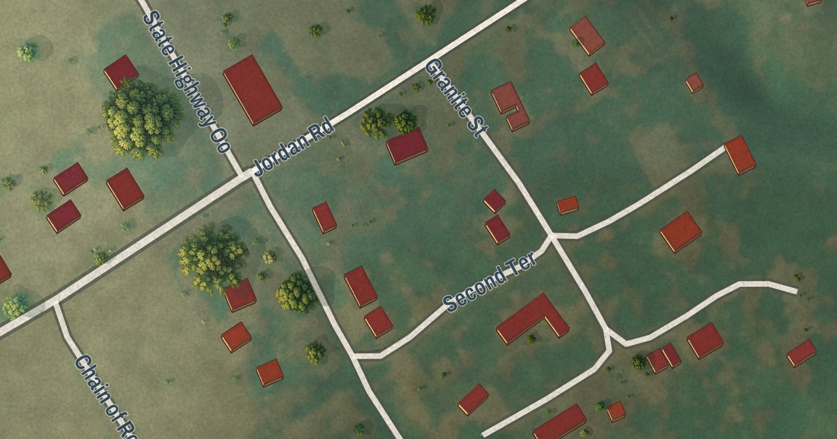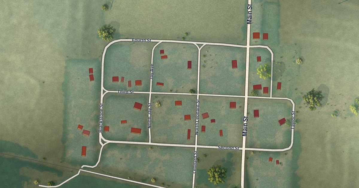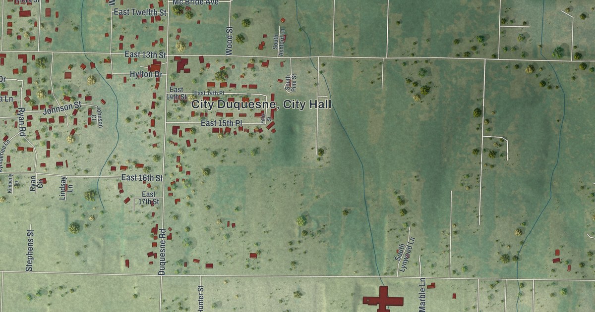
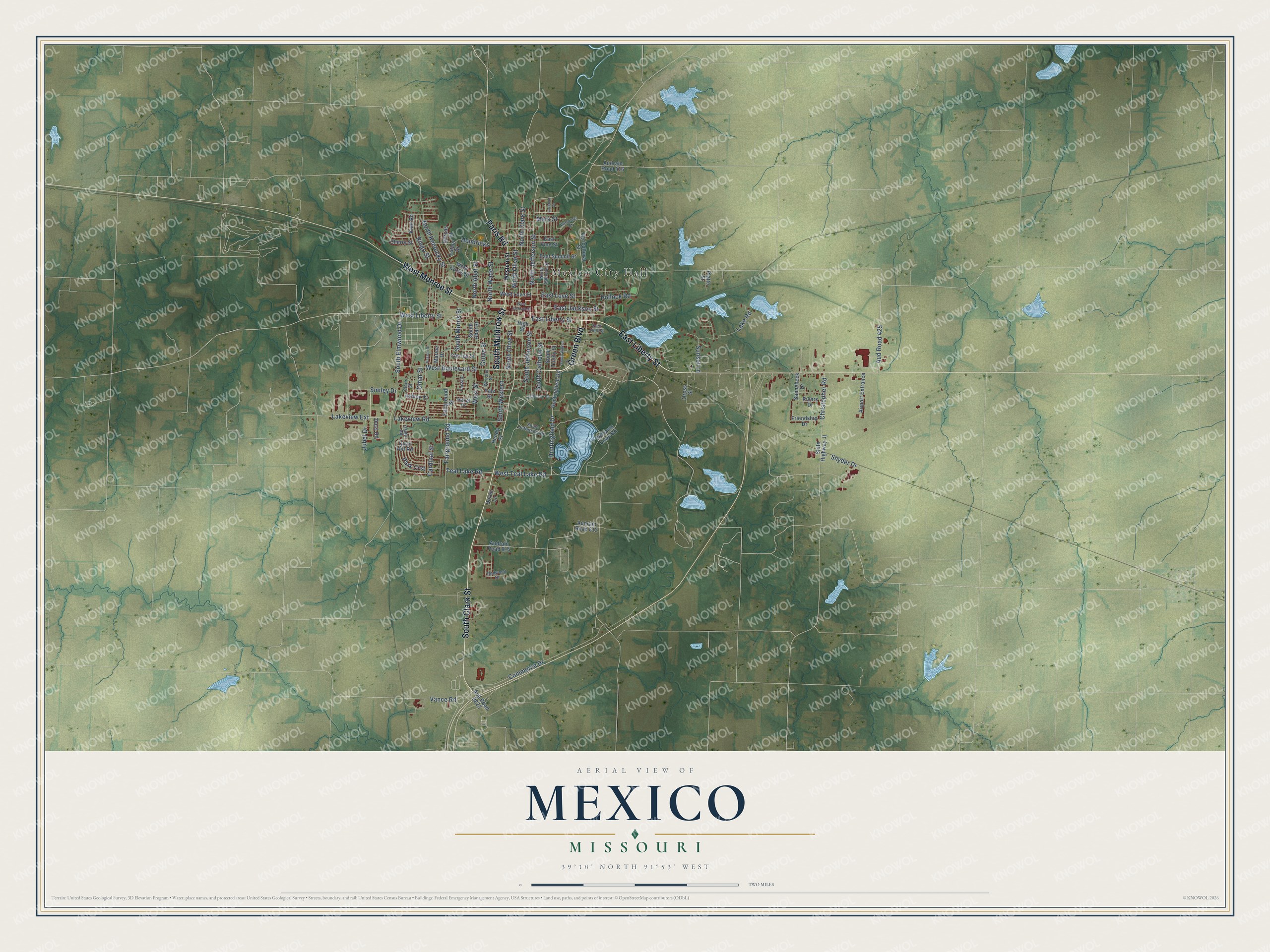
This beautifully detailed map of Mexico, Missouri was created in 2026 using aerial imagery combined with modern topographical, census, street and landmark data. It’s a one-of-a-kind view of Mexico that combines accurate data with a vintage aesthetic. The map shows every building in its true location, many of the roads carry their names, and the shaded topographic relief shows the shape of the land.
Explore an aerial view of Mexico, Missouri
On the map you’ll find Mexico City Hall, Elmwood Cemetery, and Plunkett Park, along with Green Boulevard, East Liberty Street, South Muldrow Street, Western Street, South Clark Street, West Monroe Street, Paris Road, Huntingfield Drive, South Jefferson Street, and more. If you look closely you can even find your house accurately drawn in its correct location. Zoom in on the preview to look for yours.
Did you know this piece of Mexico, Missouri history?
Mexico was laid out in 1836 under the name New Mexico. It was a major stop for settlers bound for the Republic of Texas, which gave the town its name. After the Mexican War brought Texas into the Union, the word New was dropped.
Take a closer look at the Mexico map
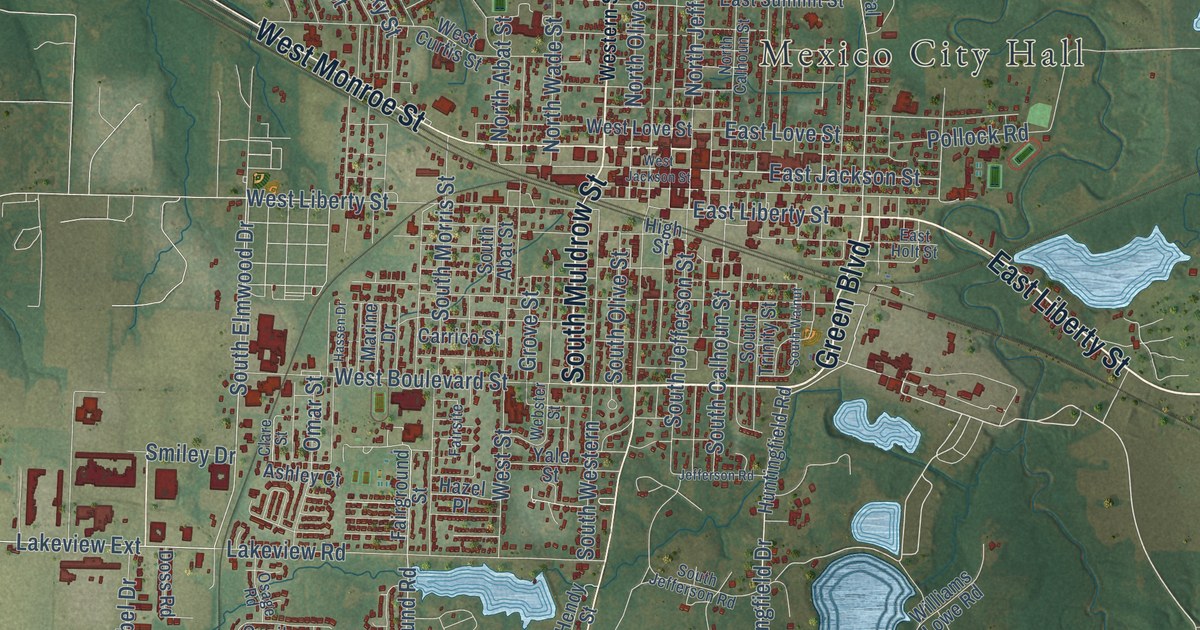
Street and place names on the Mexico, Missouri map
These names are printed on the map of Mexico, Missouri.
Places: Mexico City Hall.
Streets and roads: Green Boulevard, East Liberty Street, South Muldrow Street, South Clark Street, West Monroe Street, Paris Road, Huntingfield Drive, South Jefferson Street, West Boulevard Street, Aud Road 425, East Jackson Street, South Elmwood Drive.
More street names, A to Z
Agricultural Street, Airport Entrance, Ashley Court, Audrain Road 416, Audrain Road 812, Audrain Road 814, Aud Road 9822, Cardinal Street, Carrico Street, Cherry Street, Christopher Road, Clare Street, Commerce Drive, Dorcas Street, Doreli Lane, Doss Road, East Holt Street, East Love Street, East Summit Street, East Vine Street, Fairground Road, Fairground Street, Fairsite, Friendship Drive, Grove Street, Hassen Drive, Hazel Place, Hendricks, Hendy Street, High Street, Huntingfield Road, Jefferson Road, Jubel Drive, Kent Road, Lakenan Street, Lake Road, Lakeview Extension, Lakeview Road, Luther Drive, Marine Drive, Mars Street, North Abat Street, North Calhoun Street, North Clark Street, North Jefferson Street, North Kentucky Street, North Olive Street, North Wade Street, Omar Street, Oross Street, Osage Road, Park Crst, Platte Street, Pollock Road, Quail Hill Road, Redwood Drive, Ringo Street, Rivers Drive, Sannebeck Drive, Smiley Drive, Snyder Drive, South Abat Street, South Calhoun Street, South Jefferson Road, South Morris Street, South Olive Street, South Trinity Street, South Walnut, South Western, State Highway Jj, Sunset Lane, Teal Lake Road, Vance Road, Veterans Drive, Webster Street, West Curtis Street, Western Street, West Jackson Street, West Liberty Street, West Love Street, West Street, West Teal Lake Road, Williams Lowe Road, Yale Street.
See the Mexico, Missouri map on a wall
The Mexico map as an 18 x 24 inch print in a black frame.

This beautifully detailed map of Mexico makes an attractive addition to your office, library, or den, and it can even be used to teach children the geography and history of the area. It also makes a great gift for someone who left Mexico and still calls it home. When you’re done exploring, click here to get your copy of the Mexico map.