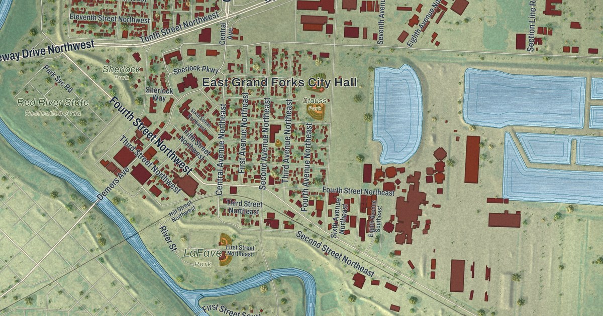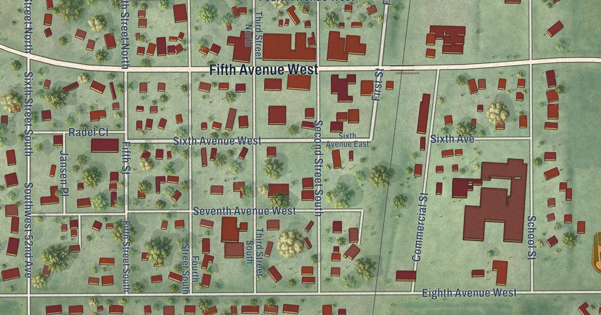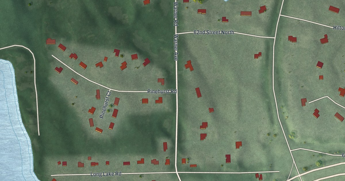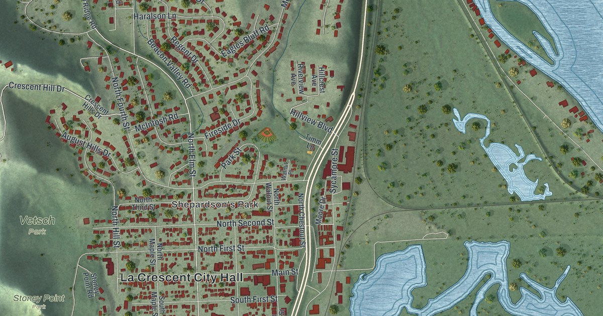
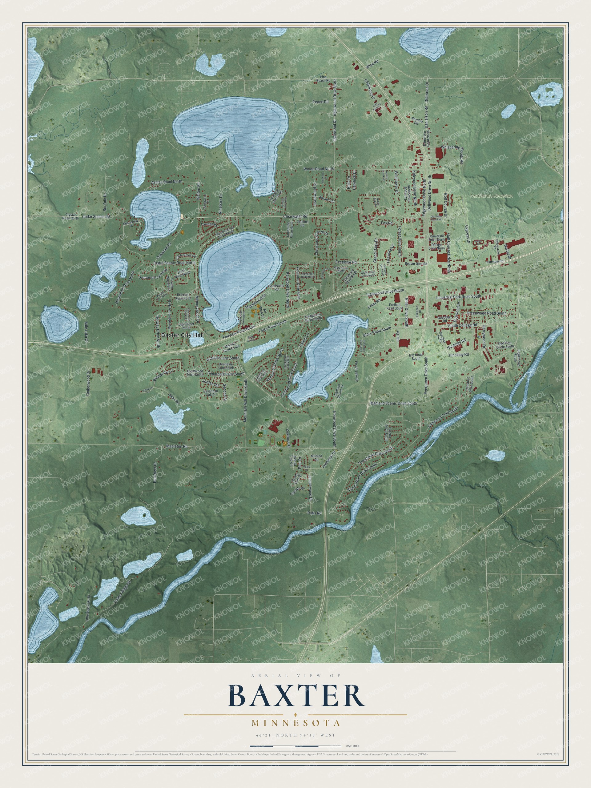
This beautifully detailed map of Baxter, Minnesota was created in 2026 using aerial imagery combined with modern topographical, census, street and landmark data. It’s a one-of-a-kind view of Baxter that combines accurate data with a vintage aesthetic. The map shows every building in its true location, many of the roads carry their names, and the shaded topographic relief shows the shape of the land.
Explore an aerial view of Baxter, Minnesota
On the map you’ll find Baxter City Hall and Northland Arboretum, along with Hinckley Road, Isle Drive, Memorywood Drive, Oakwood Drive, Clearwater Road, Cedar Scenic Road, Foley Road South, Berrywood Drive, Cedar Scenic Road North, Danielson Road, and more. If you look closely you can even find your house accurately drawn in its correct location. Zoom in on the preview to look for yours.
Did you know this piece of Baxter, Minnesota history?
From Minnesota Geographic Names: "Baxter township commemorates the late Luther Loren Baxter, of Fergus Falls, who during many years was an attorney for the Northern Pacific company."
Take a closer look at the Baxter map
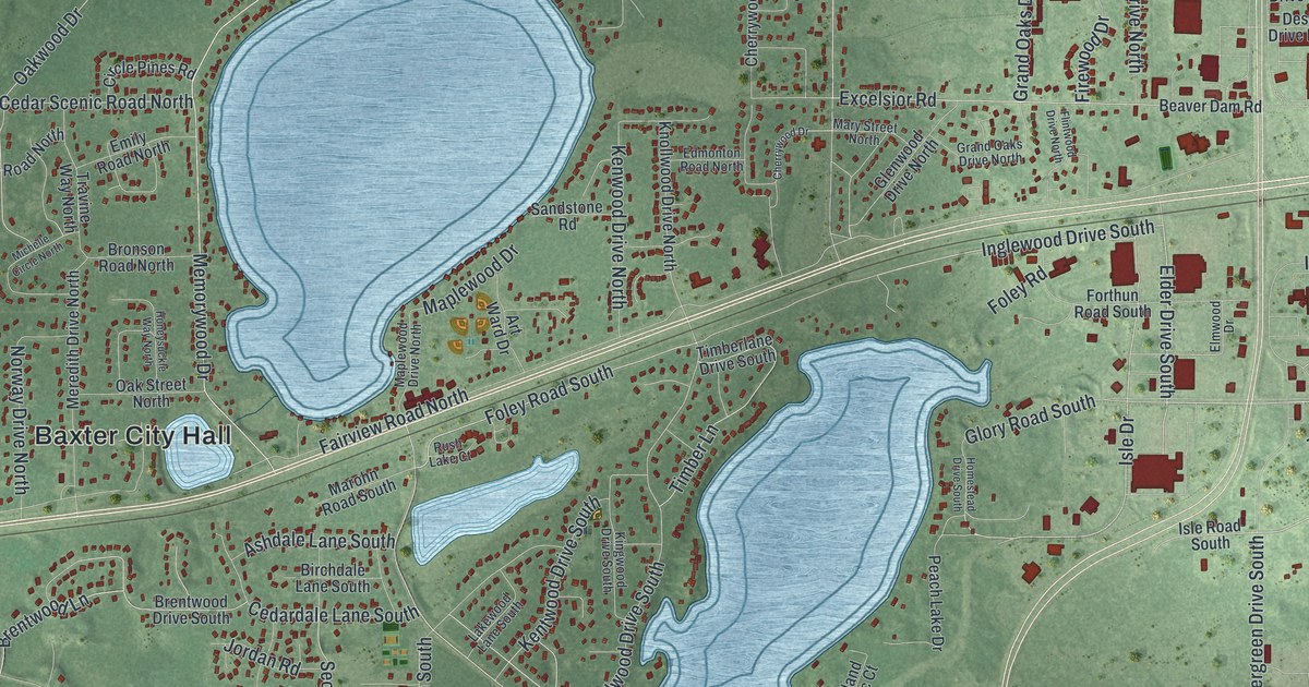
Street and place names on the Baxter, Minnesota map
These names are printed on the map of Baxter, Minnesota.
Places: Baxter City Hall and Northland Arboretum.
Streets and roads: Hinckley Road, Elder Drive South, Isle Drive, Memorywood Drive, Oakwood Drive, Clearwater Road, Cedar Scenic Road, Foley Road South, Berrywood Drive, Kirkwood Drive North, Cedar Scenic Road North, Golf Course Drive North.
More street names, A to Z
Art Ward Drive, Ashdale Lane South, Ashley Road North, Atwater Road, Baxter Drive, Beaver Dam Road, Birchdale Lane South, Brentwood Drive South, Brentwood Lane, Briarwood Lane, Bronson Road North, Bur Oak Drive, Camden Road, Camwood Trail South, Cedardale Lane South, Cherrywood Drive, Cherrywood Drive North, Chestnut Drive South, Circle Pines Road, Clearwater Road East, Conservation Road, Cosmos Road, Crystal Road North, Cypress Drive, Dalton Road, Danielson Road, Danielson Road North, Deerwood Road North, Dellwood Drive, Dellwood Drive North, Design Drive North, Dogwood Drive, Douglas Fir Drive, Eagle Drive South, Edgewood Drive, Edgewood Drive North, Edmonton Road North, Elmwood Drive, Emily Road North, Evergreen Drive South, Excelsior Road, Fairview Road, Fairview Road North, Firewood Drive, Flintwood Drive North, Foley Road, Forest Drive North, Forestview Drive South, Forthun Road South, Fox Road, Franklin Drive North, Fuschia Drive South, Glenwood Drive North, Glory Road South, Goedderz Road, Golf Course Drive, Grand Oaks Drive, Grand Oaks Drive North, Green Briar Drive, Greenwood Road South, Hastings Road, Hemlock Drive, Highland Scenic Court, Highland Scenic Drive South, Holly Drive, Homestead Drive South, Honeysuckle Way North, Industrial Park Road South, Inglewood Drive, Inglewood Drive North, Inglewood Drive South, Ironwood Drive, Ironwood Drive South, Isle Road South, Jadewood Drive, Jasperwood Drive, Jewelwood Drive, Joler Road, Jordan Road, Joshua Tree Circle, Kentwood Drive South, Kenwood Drive North, Kimberlee Drive North, Kingwood Drive South, Knollwood Drive, Knollwood Drive North, Knollwood Drive South, Knotty Pine Drive, Lake Forest Road, Lakewood Lane South, Little Bass Lake Drive, Lynndale Drive North, Lynndale Lane North, Lynwood Drive North, Mapleton Road, Maplewood Drive, Maplewood Drive North, Marble Road, Marohn Road South, Mary Street North, Memorywood Drive North, Meredith Drive North, Michelle Circle North, Mildred Road, Mile Lake Drive, Mountain Ash Drive South, Ninebark Drive, Norway Drive North, Novotny Road, Oakdale Road, Oak Street North, Olivewood Drive North, Paris Road, Peace Road, Peach Lake Drive, Pine Beach Road, Pine Drive, Red Pine Circle South, Red River Drive, Rush Lake Court, Sandstone Road, Savannah Oak Drive, Scenic River Drive South, Second Street, Shoreview Drive, South College Road, Springwood Drive, Timber Lane, Timberlane Drive South, Timber Ridge Drive, Timberwood Drive, Travine Way North, Universal Drive North, Welton Road, Whispering Woods Road, Wildflower Drive, Wise Road, Woida Road North.
See the Baxter, Minnesota map on a wall
The Baxter map as an 18 x 24 inch print in a black frame.

This beautifully detailed map of Baxter makes an attractive addition to your office, library, or den, and it can even be used to teach children the geography and history of the area. It also makes a great gift for anyone with Baxter roots. When you’re done exploring, click here to get your copy of the Baxter map.