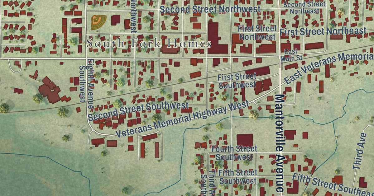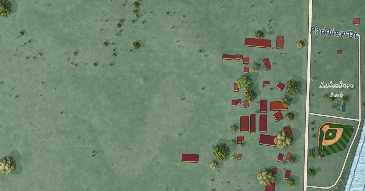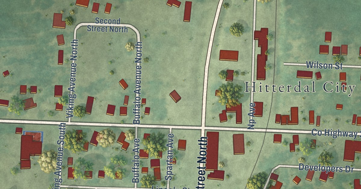
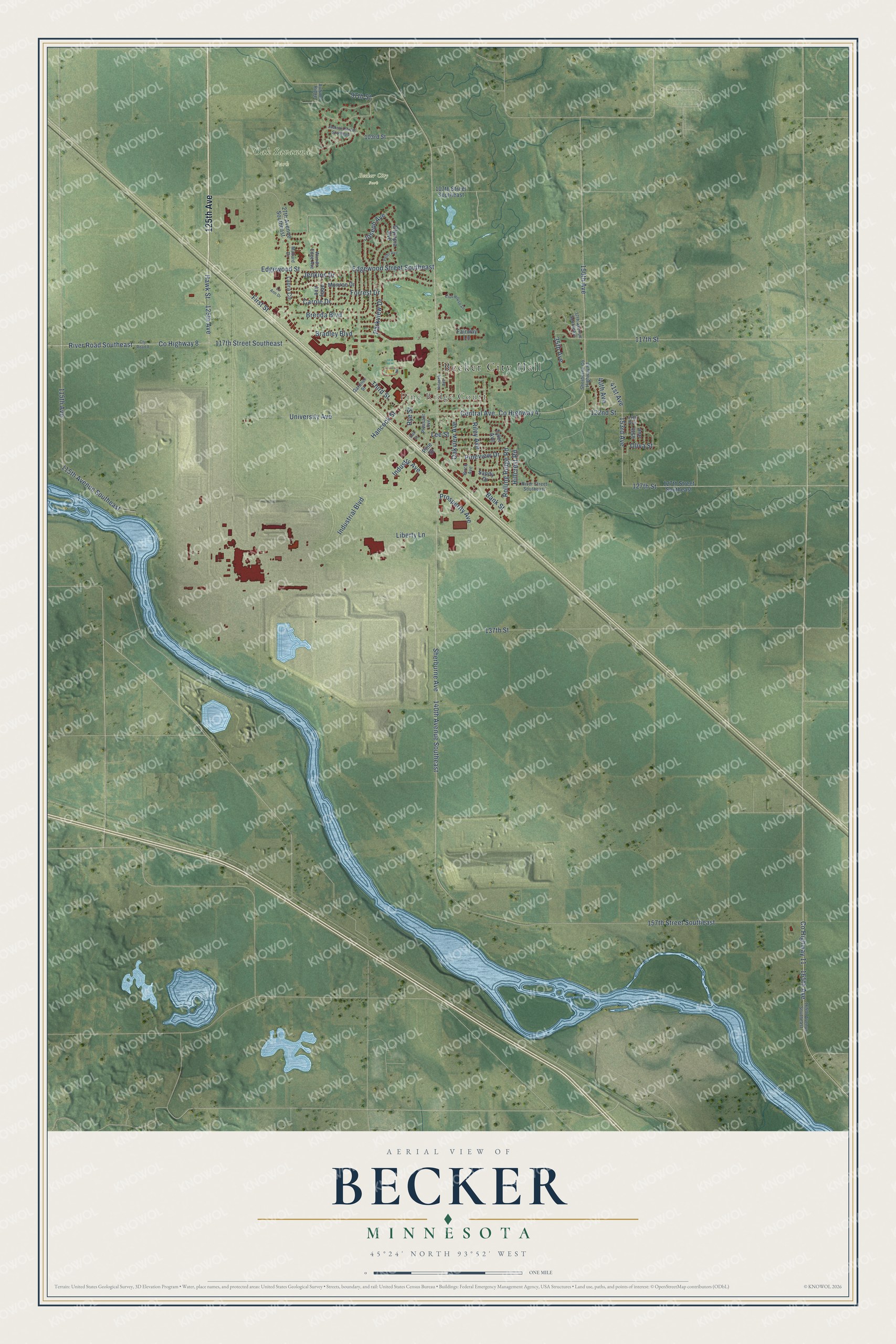
This beautifully detailed map of Becker, Minnesota was created in 2026 using aerial imagery combined with modern topographical, census, street and landmark data. It’s a one-of-a-kind view of Becker that combines accurate data with a vintage aesthetic. The map shows every building in its true location, many of the roads carry their names, and the shaded topographic relief shows the shape of the land.
Explore an aerial view of Becker, Minnesota
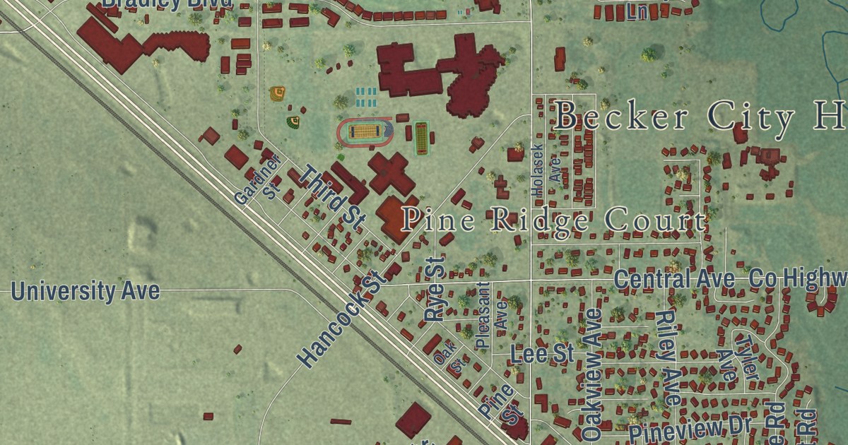
On the map you’ll find Becker City Hall, Becker City Park, and Oak Savanna Park, along with Pine Ridge Court, 125th Avenue, Hawk Street, 117th Street Southeast, County Highway 8, Sherburne Avenue, 150th Avenue, 127th Street, 153rd Avenue, and more. If you look closely you can even find your house accurately drawn in its correct location. Zoom in on the preview to look for yours.
Did you know this piece of Becker, Minnesota history?
From the 1920 Minnesota Geographic Names: "Becker township, settled in 1855, organized in 1871, and its railway village, founded in 1867, were named in honor of George Loomis Becker, of St. Paul, for whom a biographic sketch has been presented in the chapter of Becker county."
Take a closer look at the Becker map
Street and place names on the Becker, Minnesota map
These names are printed on the map of Becker, Minnesota.
Places: Becker City Hall, Pine Ridge Court, Becker City Park and Oak Savanna Park.
Streets and roads: 125th Avenue, River Road Southeast, Hawk Street, County Highway 11, 117th Street Southeast, County Highway 8, Carole Drive, Sherburne Avenue, 150th Avenue, Central Avenue, 153rd Avenue, 127th Street.
More street names, A to Z
27th Avenue Southeast, 35th Avenue, 37th Avenue Southeast, 40th Avenue, 41st Avenue, 44th Avenue, 45th Avenue, 97th Street, 103rd Street, 107th Street Southeast, 115th Avenue, 115th Avenue Southeast, 117th Street, 122nd Street, 127th Street Southeast, 137th Street, 140th Avenue Southeast, 157th Street Southeast, 165th Avenue, 165th Avenue Southeast, Abby Avenue, Autumn Ridge, Bank Street, Birch Avenue, Bradley Boulevard, Brenda Boulevard, Club House Lane, County Highway 4, Cty Road 8, Edgewood Street, Edgewood Street Southeast, Fairway Lane, First Street, Forrest Drive, Gardner Street, Hancock Street, Hillcrest Road, Holasek Avenue, Industrial Boulevard, Industry Avenue, Jackson Street Southeast, Jenkins Drive, Joseph Avenue, Laura Circle, Lee Street, Liberty Lane, Lu Ann Drive, Mallard Drive, Monroe Drive, Oak Street, Oakview Avenue, Oliva Street, Olympia Avenue, Parkview Drive, Peter Avenue, Pine Street, Pineview Drive, Pleasant Avenue, Prosperity Avenue, Riley Avenue, River Street Southeast, Rolling Ridge Road, Rye Street, Sandy Drive, Sherburne County Highway 67, Third Street, Tyler Avenue, University Avenue, Woods Edge Avenue.
See the Becker, Minnesota map on a wall
The Becker map as an 18 x 24 inch print in a black frame.

This beautifully detailed map of Becker makes an attractive addition to your office, library, or den, and it can even be used to teach children the geography and history of the area. It also makes a great gift for anyone who grew up in Becker or moved away. When you’re done exploring, click here to get your copy of the Becker map.