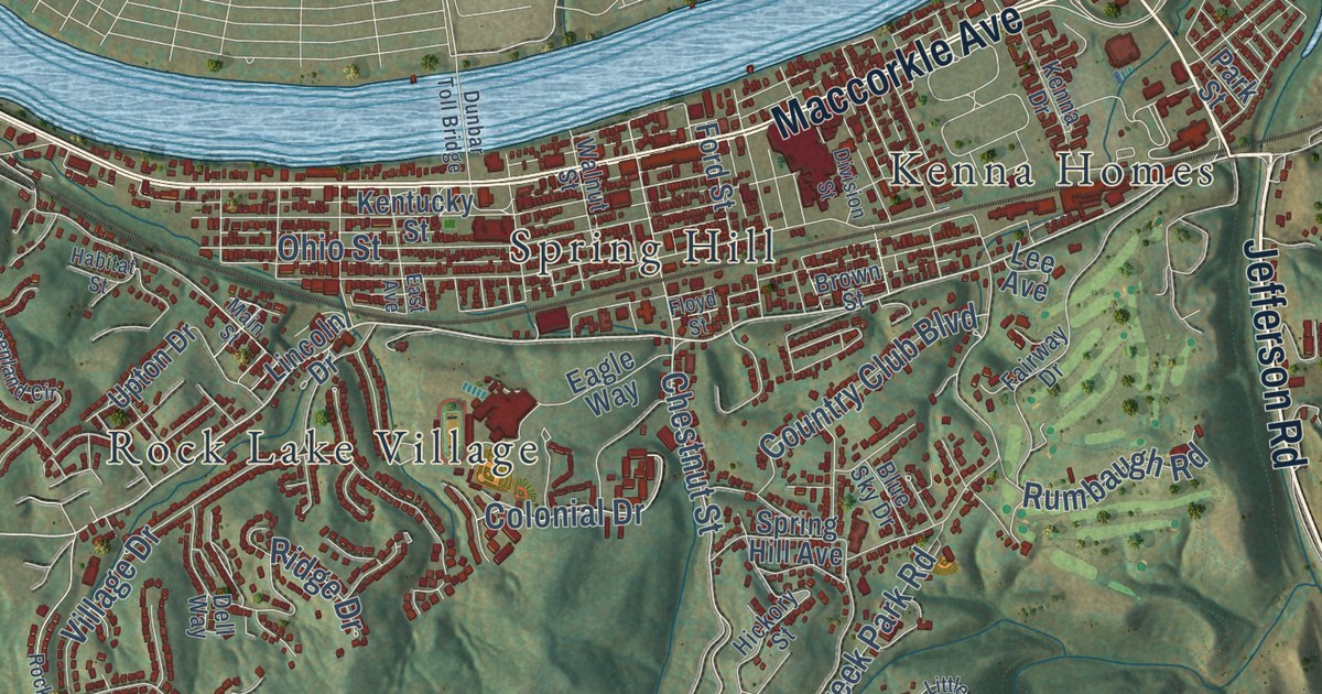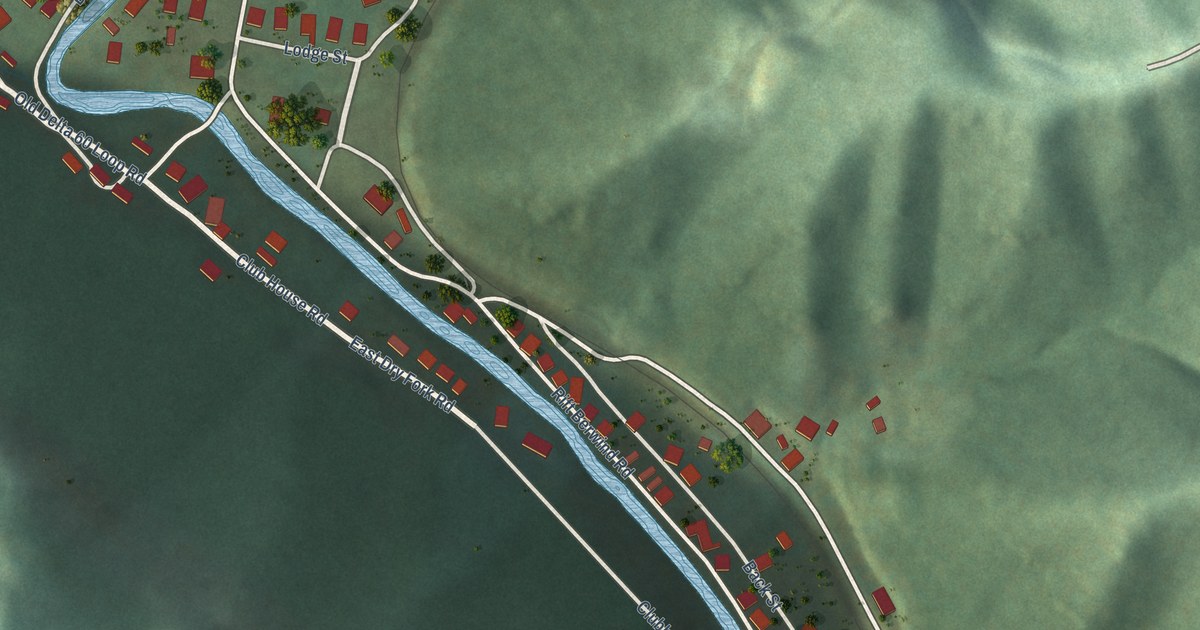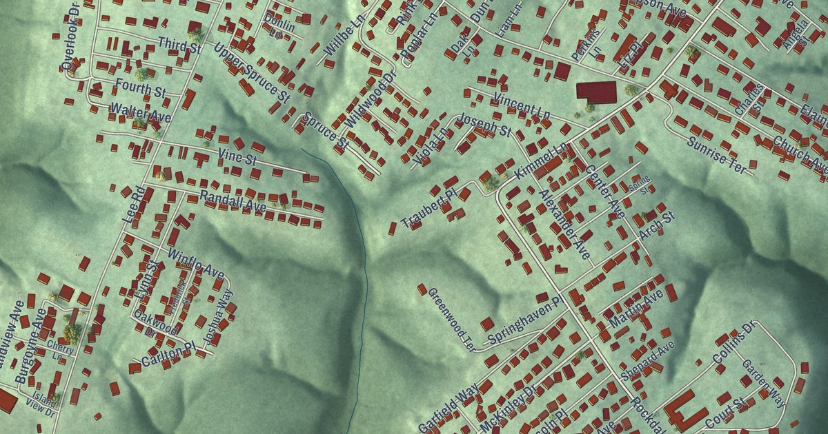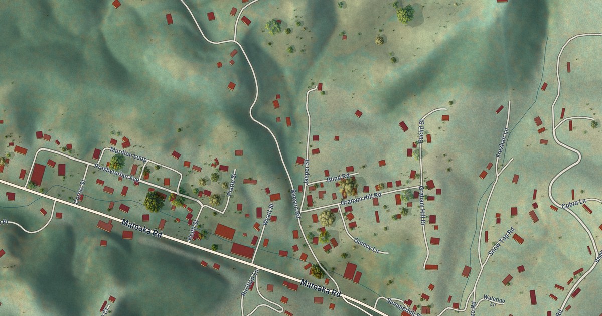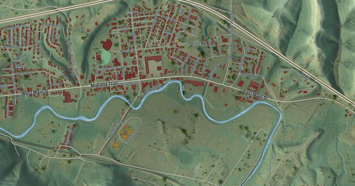
This beautifully detailed map of Milton, West Virginia was created in 2026 using aerial imagery combined with modern topographical, census, street and landmark data. It’s a one-of-a-kind view of Milton that combines accurate data with a vintage aesthetic. The map shows every building in its true location, many of the roads carry their names, and the shaded topographic relief shows the shape of the land.
Explore an aerial view of Milton, West Virginia
On the map you’ll find Milton Town Hall and Newmans Branch, along with Midland Trail, East Main Street, West Main Street, Orchard Street, Mud River Road, Second Street, Woodland Drive, Mason Road, Johns Branch Road, James River Turnpike, and more. If you look closely you can even find your house accurately drawn in its correct location. Zoom in on the preview to look for yours.
Did you know this piece of Milton, West Virginia history?
From the West Virginia Encyclopedia: "The Union Baptist Church, a Milton landmark, was founded in 1809. The church has been restored, but bayonet marks and bullet holes from the Civil War can still be seen."
Take a closer look at the Milton map
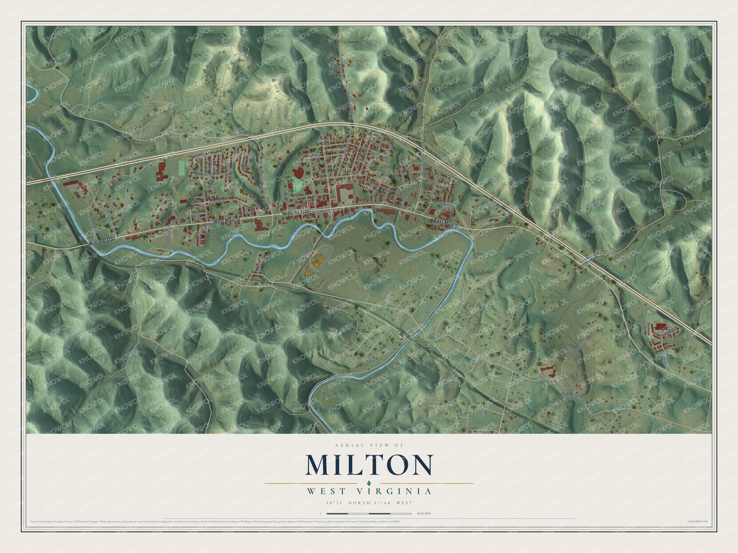
Street and place names on the Milton, West Virginia map
These names are printed on the map of Milton, West Virginia.
Places: Milton Town Hall.
Streets and roads: Midland Trail, East Main Street, West Main Street, Orchard Street, Mud River Road, Newmans Branch, Second Street, Woodland Drive, Mason Road, Johns Branch Road, James River Turnpike, Morris Memorial Road.
More street names, A to Z
Abbott Lane, Adams Avenue, Ball Street, Beth Lane, Brickyard Avenue, Bud Lane, Campground Road, Cardinal Drive, Church Street, Cottonwood Lane, Damon Avenue, Drew Street, Electric Road, Fairground Road, Florida Street, Gable Drive, Glenwood Road, Glenwood Street, Greenbrier Trail, Harbour Way, Harrison Street, Highland Avenue, Highlawn Avenue, Hiidden Brook Way, Hilltop Street, Hillview Drive, Jasmine Way, Jefferson Avenue, Kane Street, Kilgore Creek Road, Lawhorn Street, Mahagony Wood Drive, Main Street, Mason Street, McGhee Street, Mill Creek Road, Mockingbird Drive, Morgan Court, Morris Hospital, Oakley Gap Road, Old River Drive, Perry Lane, Pike Street, Pine Haven Drive, Rear Florida Street, Riverview Court, Shaw Avenue, Short Street, Smith Street, South Main Street, Spicywood Drive, Spring Street, Stewart Street, Sue Terrace, Summers Avenue, Summer Street, Sunset Vw, Taylor Street, Third Street, Trenol Road, Wisteria Way, Woodline Drive, Woodmire Drive, Woody Oak Drive.
See the Milton, West Virginia map on a wall
The Milton map as an 18 x 24 inch print in a black frame.

This beautifully detailed map of Milton makes an attractive addition to your office, library, or den, and it can even be used to teach children the geography and history of the area. It also makes a great gift for anyone who grew up in Milton or moved away. When you’re done exploring, click here to get your copy of the Milton map.