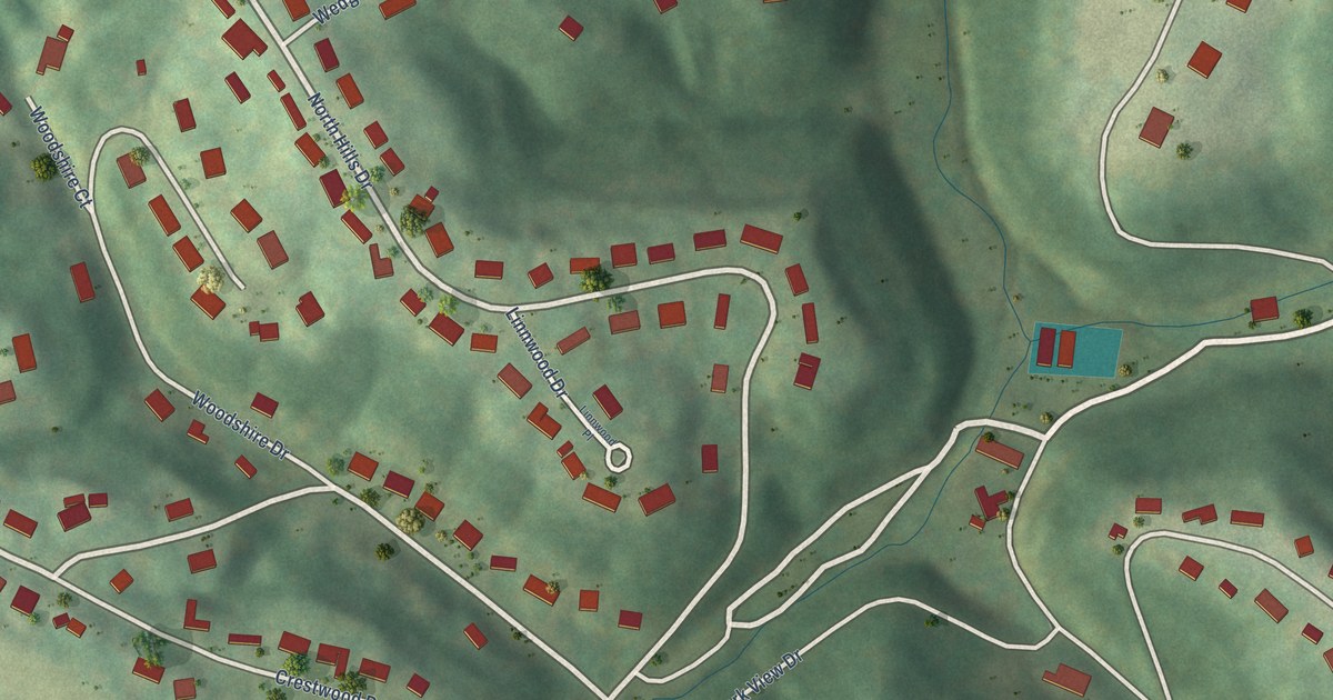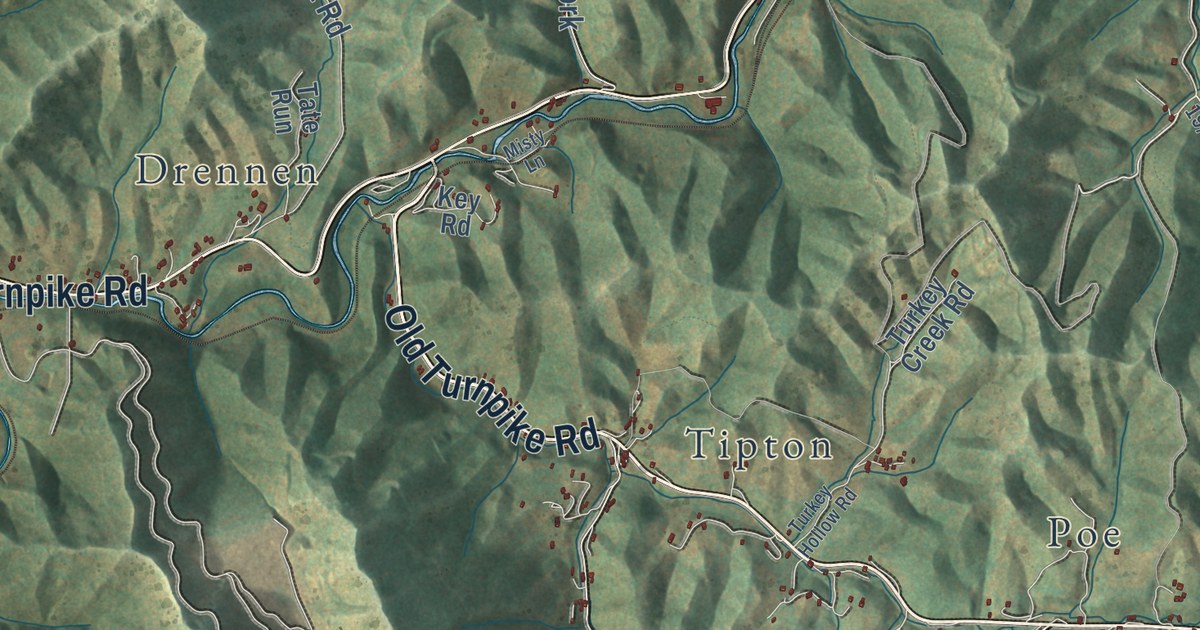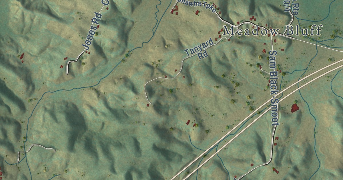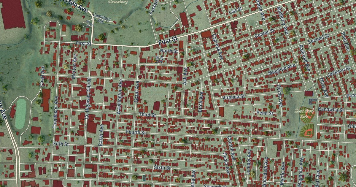
This beautifully detailed map of Moundsville, West Virginia was created in 2026 using aerial imagery combined with modern topographical, census, street and landmark data. It’s a one-of-a-kind view of Moundsville that combines accurate data with a vintage aesthetic. The map shows every building in its true location, many of the roads carry their names, and the shaded topographic relief shows the shape of the land.
Explore an aerial view of Moundsville, West Virginia
On the map you’ll find Mount Rose Cemetery and East End Park, along with Jefferson Avenue, Lafayette Avenue, First Street, Waynesburg Pike, Wheeling Avenue, Water Street, 14th Street, County Highway 17, Parriot Street, Ruby Street, and more. If you look closely you can even find your house accurately drawn in its correct location. Zoom in on the preview to look for yours.
Did you know this piece of Moundsville, West Virginia history?
From the West Virginia Encyclopedia: "Free schools were established in Moundsville in 1866. The first public building was a jail completed in 1836."
Take a closer look at the Moundsville map
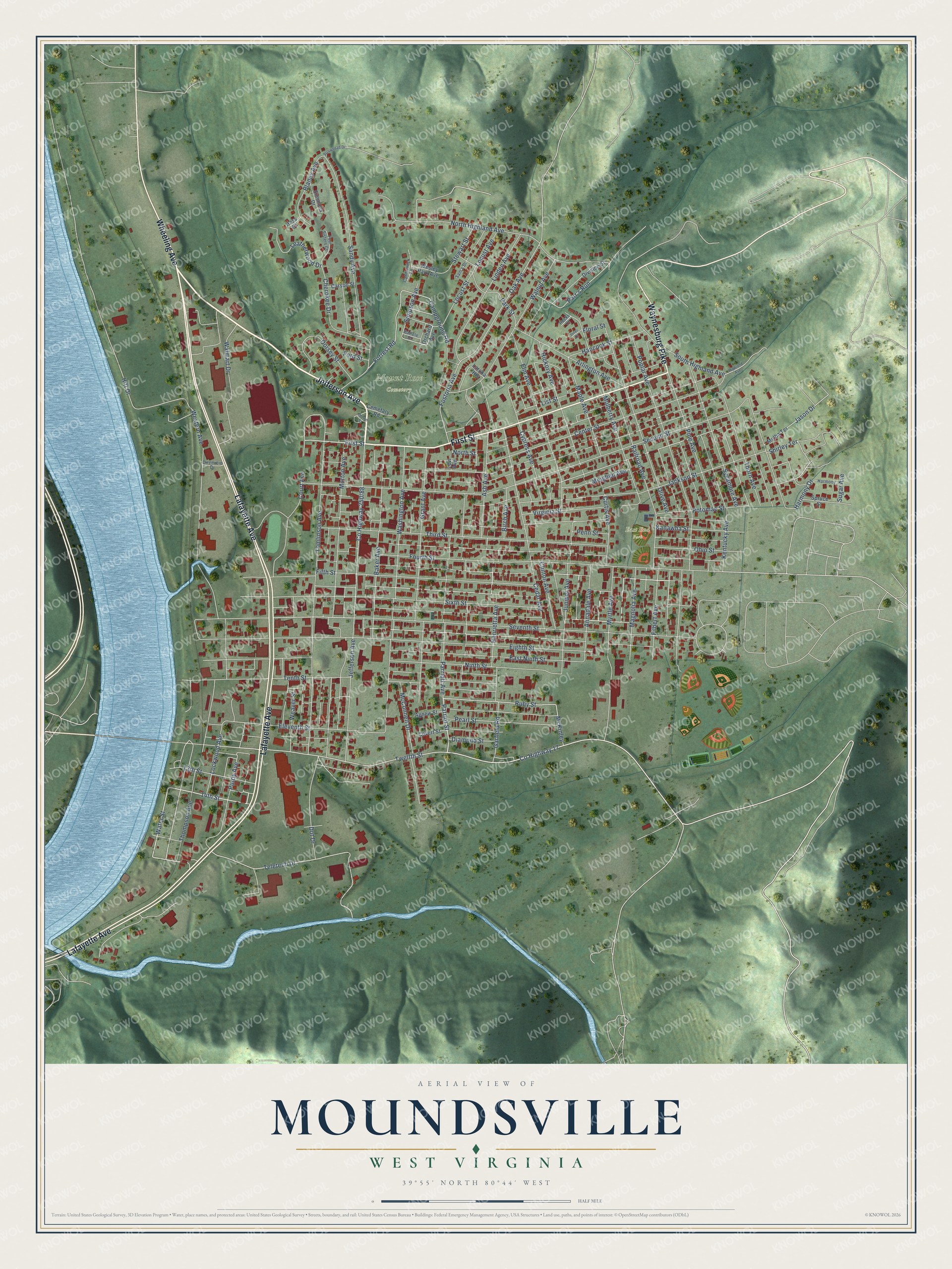
Street and place names on the Moundsville, West Virginia map
These names are printed on the map of Moundsville, West Virginia.
Places: Mount Rose Cemetery and East End Park.
Streets and roads: Jefferson Avenue, Lafayette Avenue, First Street, Waynesburg Pike, Wheeling Avenue, Water Street, 14th Street, County Highway 17, Parriot Street, Ruby Street, Twelfth Street, Jackson Street.
More street names, A to Z
13th Street, Agnew Street, Annadale Avenue, Arlington Avenue, Arrowhead Drive, Ash Avenue, Baker Avenue, Battele Street, Birch Avenue, Blaney Avenue, Brown Street, Campground Road, Candlewick Lane, Carson Street, Cedar Avenue, Cemetary Road, Center Street, Cherokee Drive, Clinton Avenue, Court Avenue, Covert Street, Curtis Avenue, Cypress Avenue, Diamond Street, Diremicio Drive, Division Street, Dorsey Street, Dot Drive, East Ninth Street, Eighth Street, Eleventh Street, Elm Avenue, Fifth Street, Filbert Avenue, Floral Street, Ford Street, Forrest Road, Fostoria Avenue, Four Sisters Court, Fourth Street, Garfield Road, Grant Avenue, Hancock Street, Harmony, Harmony Drive, Hecks Court, Henrietta Avenue, Hess Court, Hickory Avenue, Highland Avenue, Hitt Drive, Isner Court, Jason Drive, Juniper Avenue, Kanawha Street, Kentucky Avenue, Laroka Heights, Leatherwood Drive, Levi Avenue, Linden Avenue, List Street, Lockwood Avenue, Locust Avenue, Locust Street, Magnolia Avenue, Maple Avenue, McConnell Drive, McKinley, Meighen Avenue, Melba Terrace, Morton Avenue, Mulberry Avenue, Myrtle Avenue, Ninth Street, North Highland Avenue, North Street, Oak Avenue, Ohio Street, Olive Avenue, Orchard Avenue, Park Street, Parr's Run, Parriott Avenue, Pearl Street, Penn Street, Pine Avenue, Poplar Avenue, Potomac Street, Purdy Avenue, Railroad Avenue, Sam's Drive, Sandy Avenue, Second Street, Seventh Street, Shirley Terrace, Simmons Drive, Simpson Avenue, Sixth Street, South Highland Avenue, Spruce Street, Stewart Street, Sugar Avenue, Sycamore Avenue, Teletech Drive, Tenth Street, Third Street, Thompson Avenue, Thorn Avenue, Tomlinson Avenue, Virginia Street, Walmart Drive, Walnut Avenue, Washington Avenue, Weaver Street, Wesley Park Avenue, Western Avenue.
See the Moundsville, West Virginia map on a wall
The Moundsville map as an 18 x 24 inch print in a black frame.

This beautifully detailed map of Moundsville makes an attractive addition to your office, library, or den, and it can even be used to teach children the geography and history of the area. It also makes a great gift for anyone with Moundsville roots. When you’re done exploring, click here to get your copy of the Moundsville map.