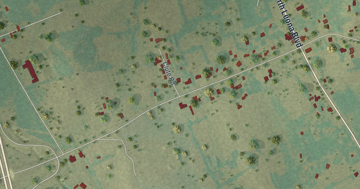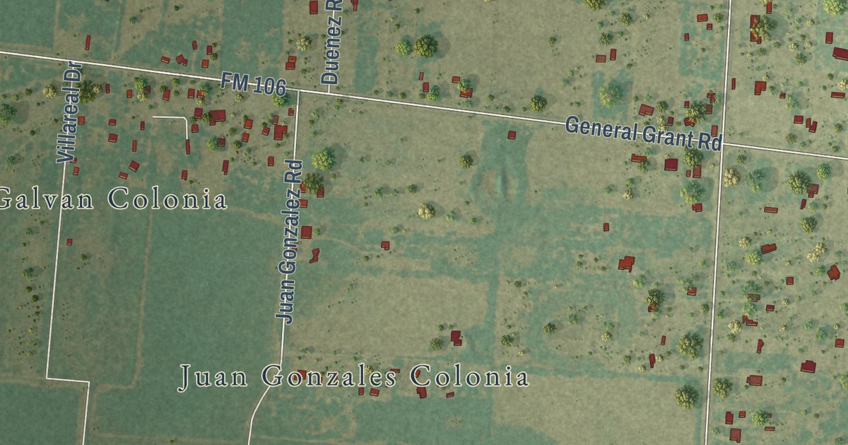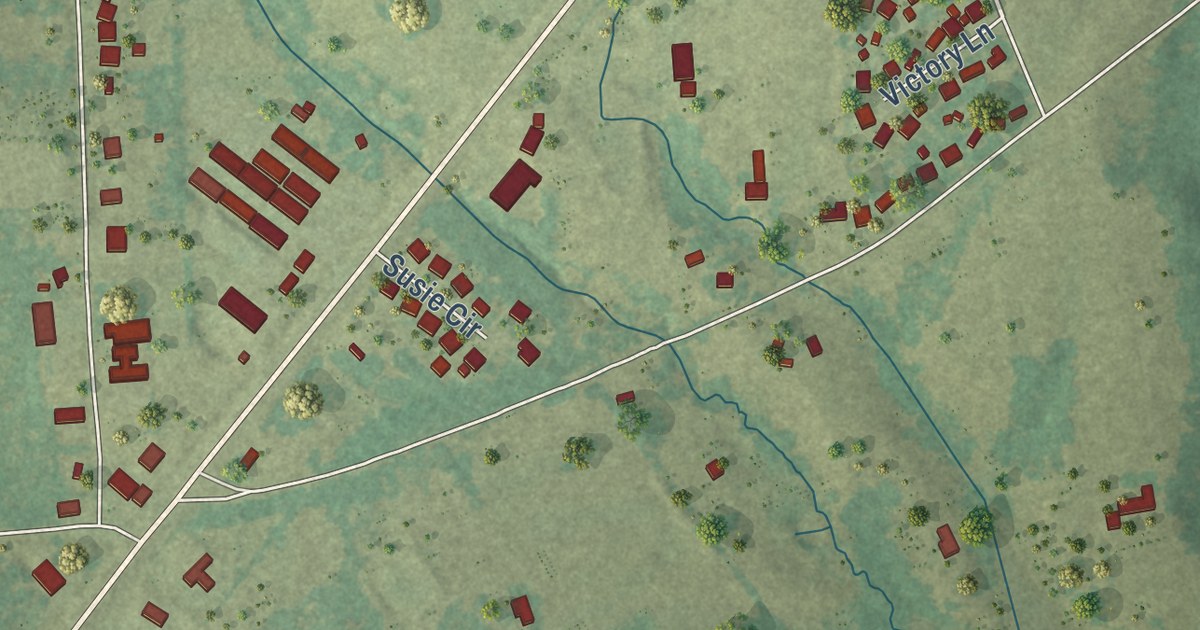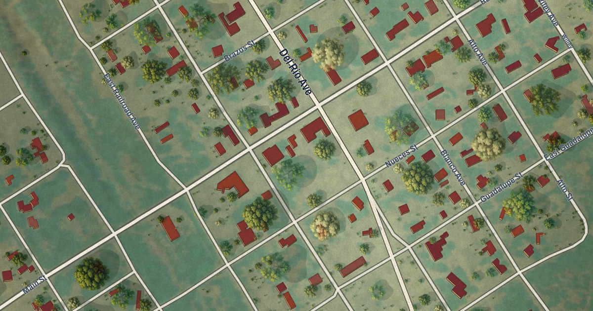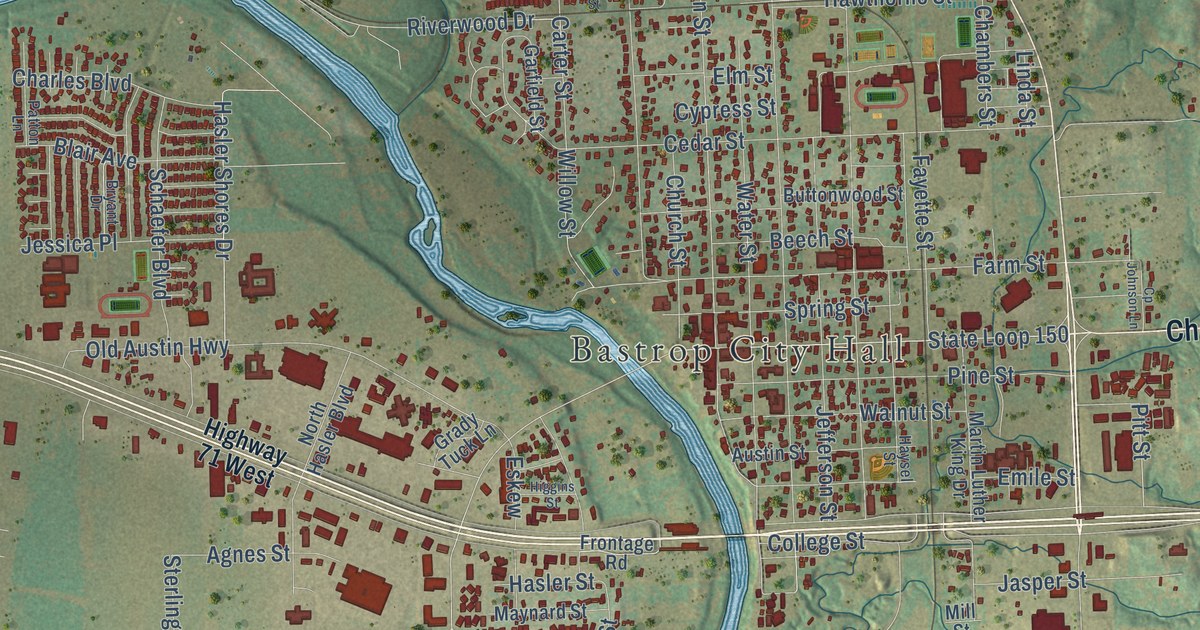
This beautifully detailed map of Bastrop, Texas was created in 2026 using aerial imagery combined with modern topographical, census, street and landmark data. It’s a one-of-a-kind view of Bastrop that combines accurate data with a vintage aesthetic. The map shows every building in its true location, many of the roads carry their names, and the shaded topographic relief shows the shape of the land.
Explore an aerial view of Bastrop, Texas
On the map you’ll find Bastrop City Hall, Bastrop State Park, Fairview Cemetery, and Mayfest Park, along with Chestnut Street, State Loop 150 East, Farm Street, Willow Street, Carter Street, Riverwood Drive, Mauna Loa Lane, Jasper Street, and more. If you look closely you can even find your house accurately drawn in its correct location. Zoom in on the preview to look for yours.
Did you know this piece of Bastrop, Texas history?
From the Handbook of Texas: "In 1851 Bastrop Methodists built the county’s first church, a weekly newspaper was founded, and the Bastrop Educational Society opened the coeducational Bastrop Academy."
Take a closer look at the Bastrop map
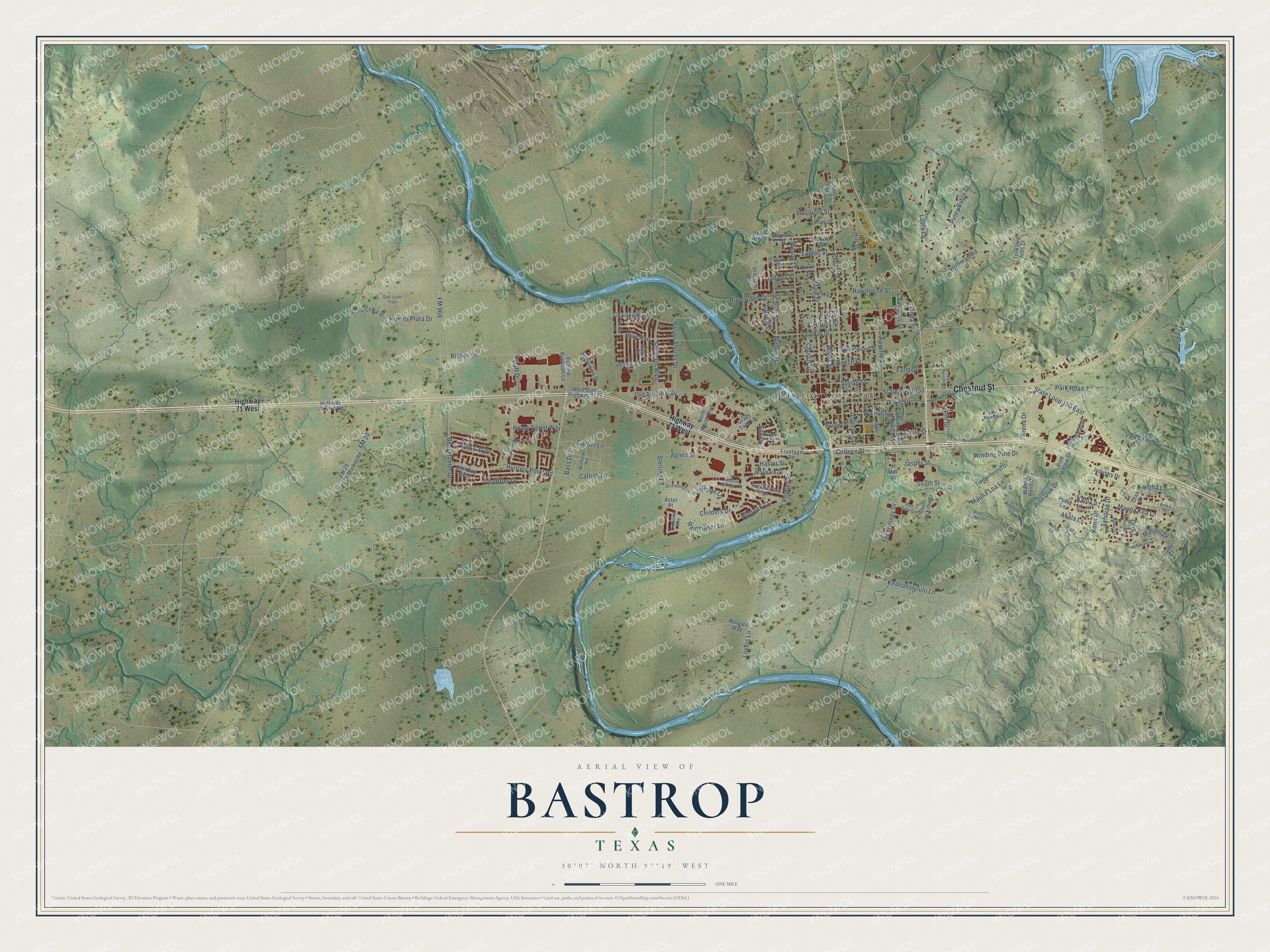
Street and place names on the Bastrop, Texas map
These names are printed on the map of Bastrop, Texas.
Places: Bastrop City Hall and Bastrop State Park.
Streets and roads: Chestnut Street, Arena Drive, Pitt Street, State Loop 150 East, Childers Drive, Outfitter Drive, Willow Street, Lovers Lane, Main Street, College Street, Carter Street, Church Street.
More street names, A to Z
Agnes Street, Akala Lane, Aloha Lane, Aster Place, Austin Street, Bass Drive, Bear Hunter Drive, Beech Street, Bird Dog Bend, Blair Avenue, Blakey Lane, Boca Chica Street, Bryant Drive, Bullhead Road, Bus Park Drive, Buttonwood Street, Catfish Lane, Cattail Lane, Cedar Street, Chambers Street, Charles Boulevard, Cp Johnson Lane, Cypress Street, Dragonfly Loop, Driftwood Lane, Duff Drive, Edward Burleson Lane, Elm Street, Emile Street, Eskew, Farm Street, Fayette Street, FM 20, FM 20 Farm-To-Market Road, FM 969, Frontage Road, Garfield Street, Grady Tuck Lane, Hasler Shores Drive, Hasler Street, Hawthorne Street, Haysel Street, Headwaters Drive, Hidden Springs Drive, Higgins Street, Highway 71 Srvc Road, Highway 71 West, Hill Street, Hoffman Road, Home Depot Way, Hula Lane, Hunters Crossing Boulevard, Hunters Point Road, Industrial Boulevard, Industry Drive, Jasper Street, Jefferson Street, Jessica Place, Juniper Street, Kailua Lane, Kani Lane, Keanahalululu Lane, Keoke Court, Kona Drive, Kukui Court, Laura Lane, Laurel Street, Linda Street, Linden Street, Locust Street, Lost Pines Avenue, Magnolia Street, Mahalo Court, Mahalua Lane, Maple Street, Margies Way, Martin Luther King Drive, Mauna Kea Lane, Mauna Loa Lane, Maynard Street, Mesquite Street, Mill Street, Mokalau Drive, North Hasler Boulevard, North Pecan Street, Oahu Court, Oak Street, Olaa Drive, Old Austin Highway, Ori Court, Park Road 1, Park Road 1-A, Patton Lane, Pecan Street, Perkins Street, Persimmon Street, Pine Hollow Drive, Pine Lodge Drive, Pine Oak Drive, Pine Street, Piney Ridge Drive, Pin Oak Court, Puerto Plata Drive, Puma Lane, Puna Lane, Rainmaker Lane, Reids Bend, Rimrock Court, Riverwood Drive, San Juan Trail, Schaefer Boulevard, Settlement Drive, South Jackson Street, South Street, Spring Street, State Loop 150, Sterling Drive, Tahitian Drive, Technology Drive, Timberforest Drive, Tonkawa Hills Drive, Trailside Lane, Treeline Drive, Tributary Way, Walnut Bend Drive, Walnut Street, Water Street, West State Highway 71 Fr, Wild Cat Drive, Wilson Street, Winding Pine Drive.
See the Bastrop, Texas map on a wall
The Bastrop map as an 18 x 24 inch print in a black frame.

This beautifully detailed map of Bastrop makes an attractive addition to your office, library, or den, and it can even be used to teach children the geography and history of the area. It also makes a great gift for someone who left Bastrop and still calls it home. When you’re done exploring, click here to get your copy of the Bastrop map.