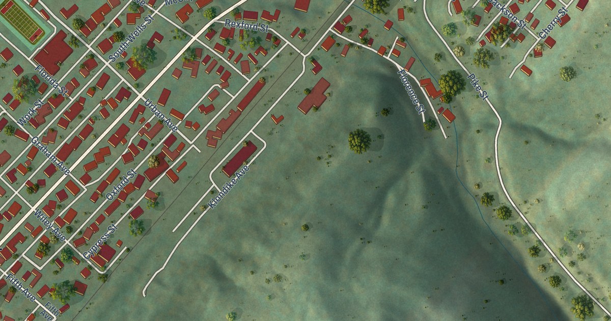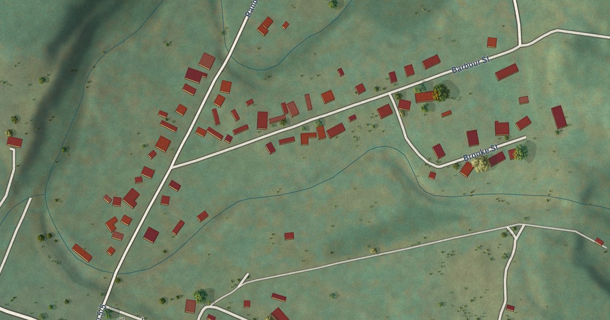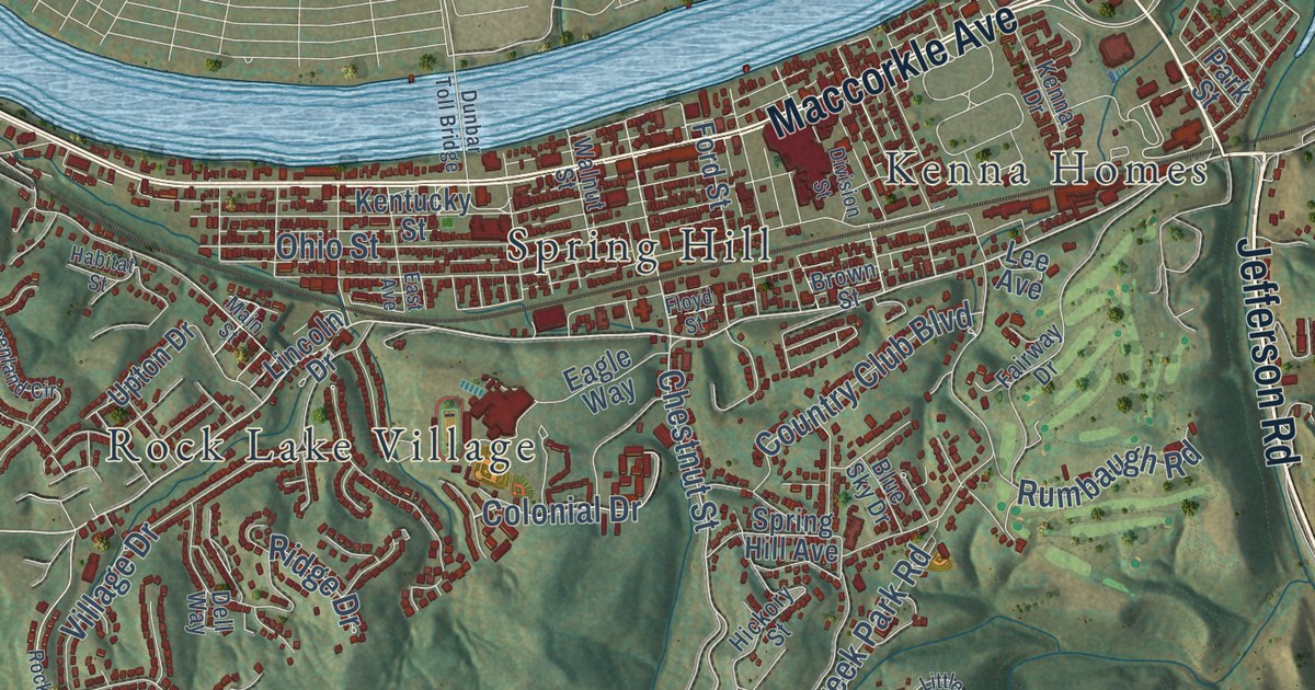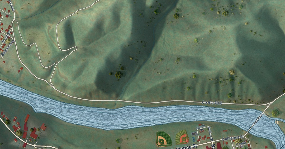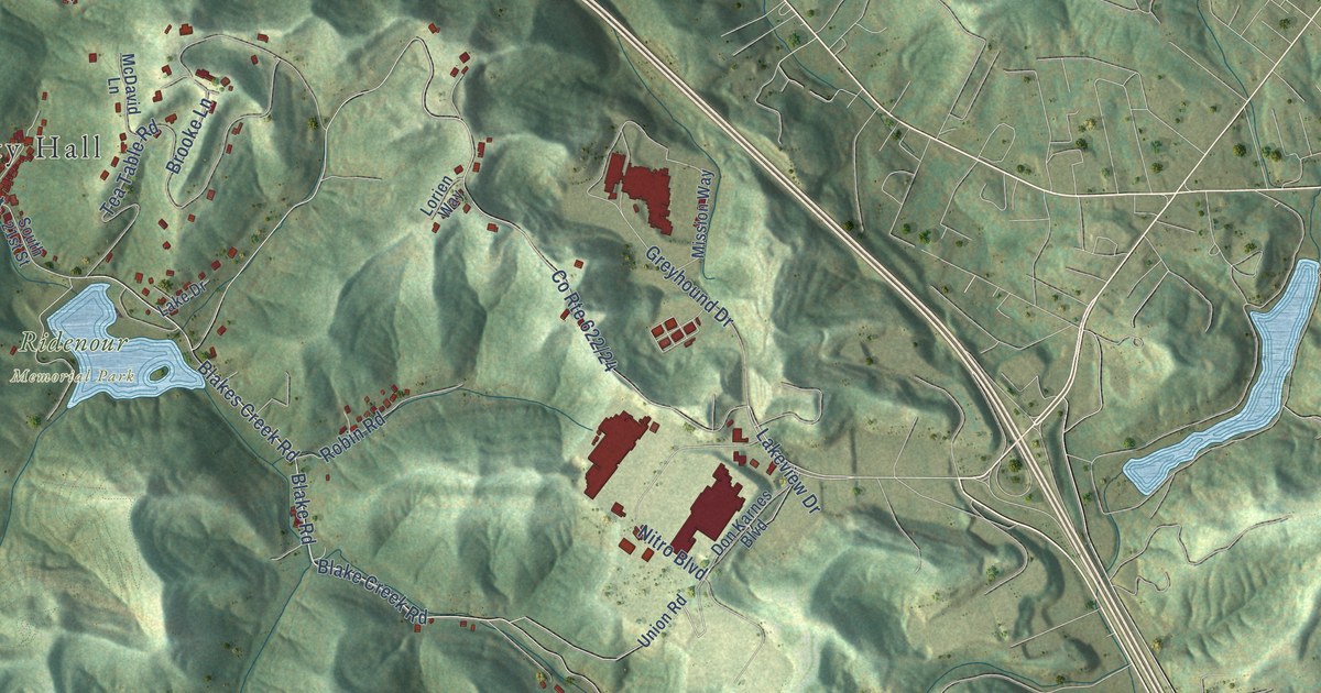
This beautifully detailed map of Nitro, West Virginia was created in 2026 using aerial imagery combined with modern topographical, census, street and landmark data. It’s a one-of-a-kind view of Nitro that combines accurate data with a vintage aesthetic. The map shows every building in its true location, many of the roads carry their names, and the shaded topographic relief shows the shape of the land.
Explore an aerial view of Nitro, West Virginia
On the map you’ll find Nitro City Hall, Ridenour Memorial Park, East Nitro, and Sattes, along with First Avenue, Cross Lanes Drive, First Avenue South, Goff Mountain Road, 21st Street, Blake Road, Blake Creek Road, Blakes Creek Road, and more. If you look closely you can even find your house accurately drawn in its correct location. Zoom in on the preview to look for yours.
Did you know this about Nitro, West Virginia?
From the West Virginia A Guide to the Mountain State: "The American Viscose Corporation operates a plant at Nitro, which converts raw cotton stock into pulp form suitable for making rayon yarn, and another at Parkersburg, employing about 5,000 people."
Take a closer look at the Nitro map
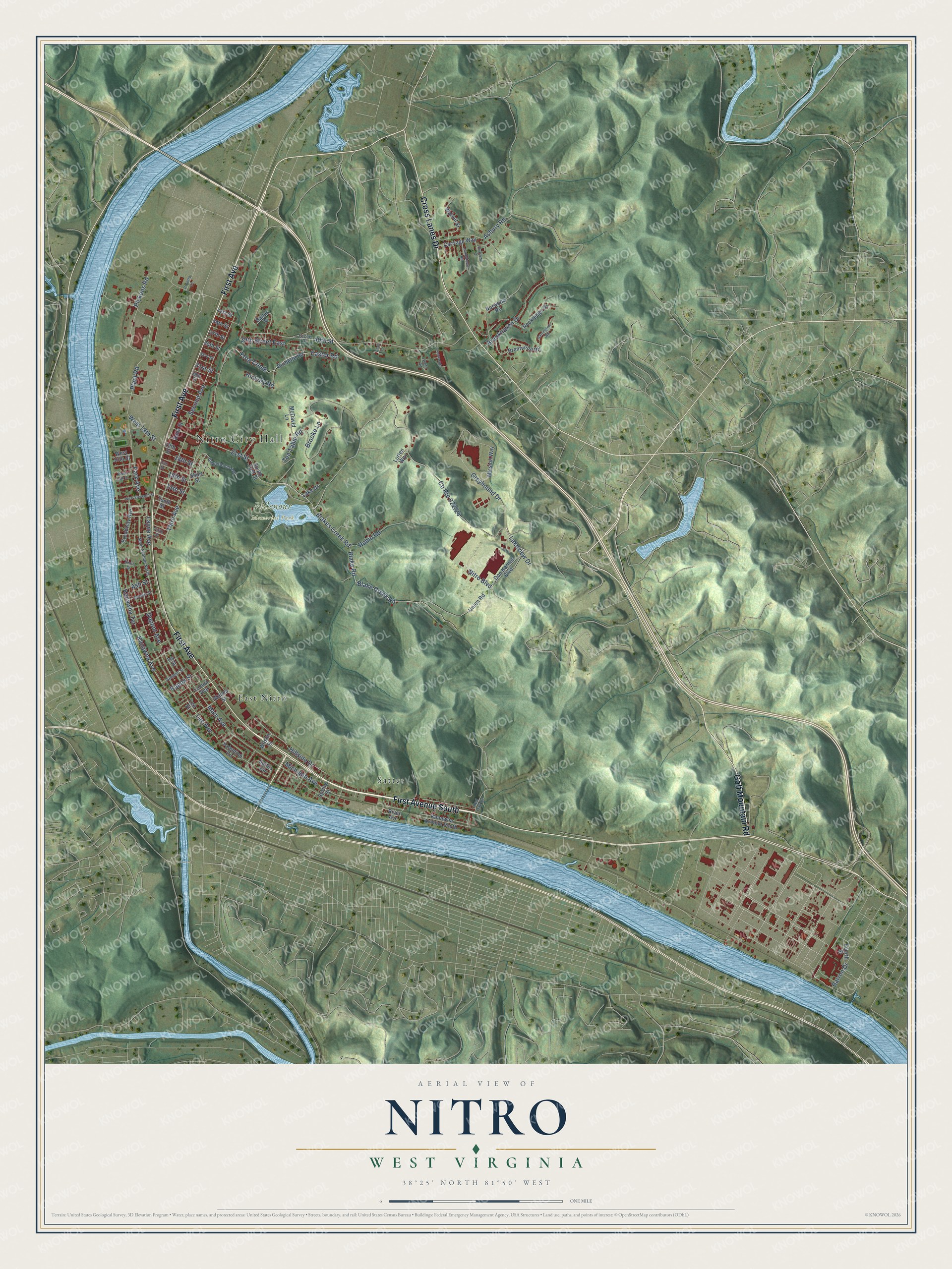
Street and place names on the Nitro, West Virginia map
These names are printed on the map of Nitro, West Virginia.
Places: Nitro City Hall, Ridenour Memorial Park, East Nitro and Sattes.
Streets and roads: First Avenue, Cross Lanes Drive, First Avenue South, Goff Mountain Road, 21st Street, Blake Road, Blake Creek Road, Blakes Creek Road, 39th Street East, Frog Creek, Plant Road, Easter Road.
More street names, A to Z
13th Street, 15th Street, 16th Street, 18th Street, 19th Street, 29th Street, 31st Street, 33rd Street, 35th Street, 37th Street, 39th Street, 40th Street, 41st Street, Asbury Road, Ash Street, Bailes Drive, Bank Street, Barrington Road, Barron Drive, Beech Street, Brentwood Road, Broadway Avenue, Brooke Lane, Brookhaven Drive, Burdette Road, Calderwood Avenue, Carriage Way, Clark Drive, Crossroads, Don Karnes Boulevard, Dupont Avenue, Escoe Drive, Fifth Street, Fourth Street, Greyhound Drive, Hickory Road, Hillside Drive, Ivy Street, Jamestown Road, Juniper Street, Kanawha Avenue, Kanawha Avenue South, Kanawha Terrace, Kapok Street, Lake Drive, Lakeview Drive, Layne Avenue, Lee Avenue, Lee Street, Locust Avenue, Lorien Way, Main Avenue, Main Avenue North, McDavid Lane, Michigan Avenue, Mission Way, Nitro Boulevard, Norwood Road, Park Avenue, Pickens Road, Poverty Lane, Red Oak Drive, River Avenue, Robin Road, Rockledge Drive, Sattes Circle, Second Avenue, Short Street, Smith Road, Smith Street, South 21st Street, Spring Street, Tea Table Road, Tenth Street, Third Avenue, Union Road, Valentine Circle, Walker Street, Walnut Street, West 13th Street, West 15th Street, West 19th Street, West Eleventh Street, Wilson Street, Yorktown Drive.
See the Nitro, West Virginia map on a wall
The Nitro map as an 18 x 24 inch print in a black frame.

This beautifully detailed map of Nitro makes an attractive addition to your office, library, or den, and it can even be used to teach children the geography and history of the area. It also makes a great gift for someone who left Nitro and still calls it home. When you’re done exploring, click here to get your copy of the Nitro map.