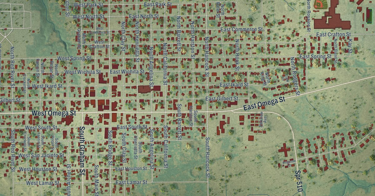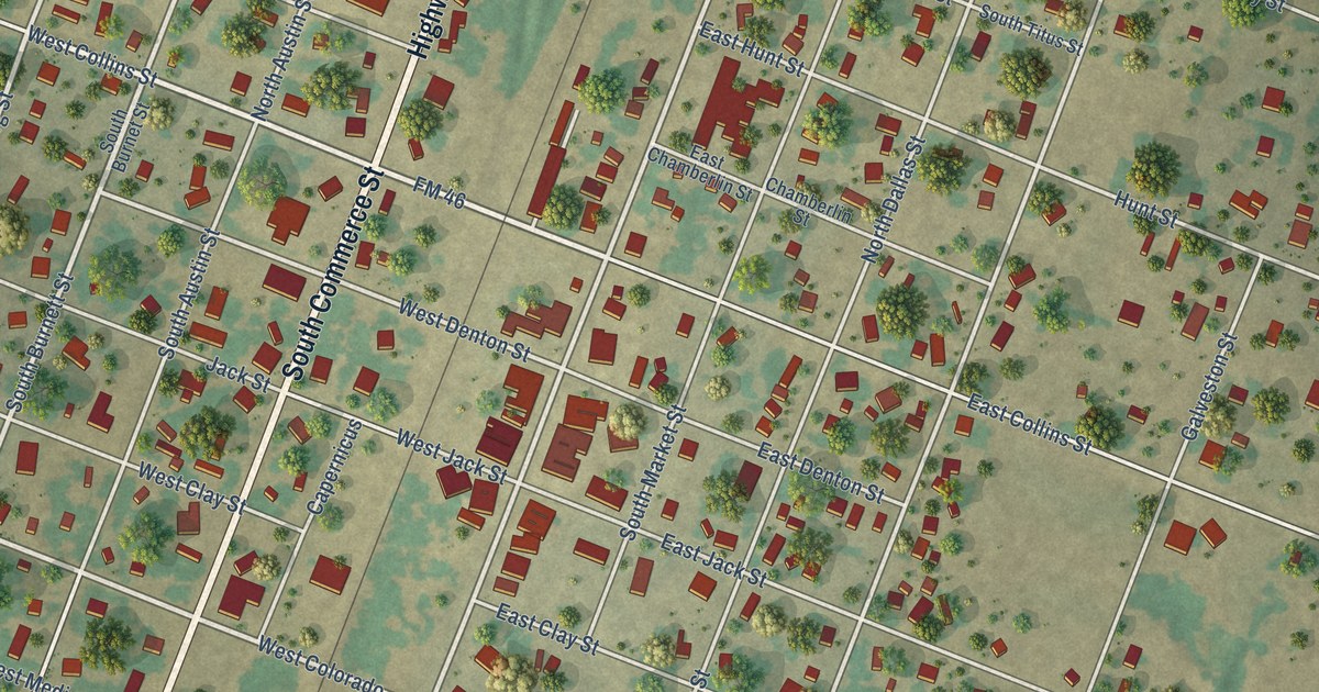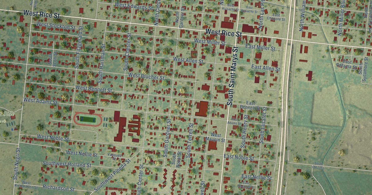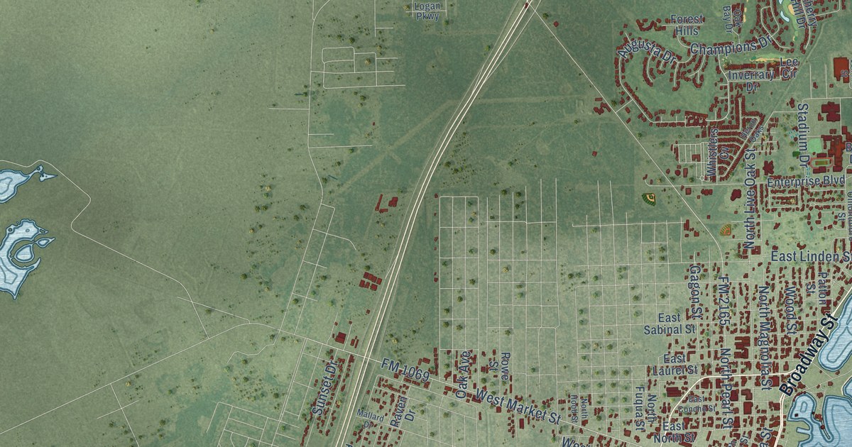
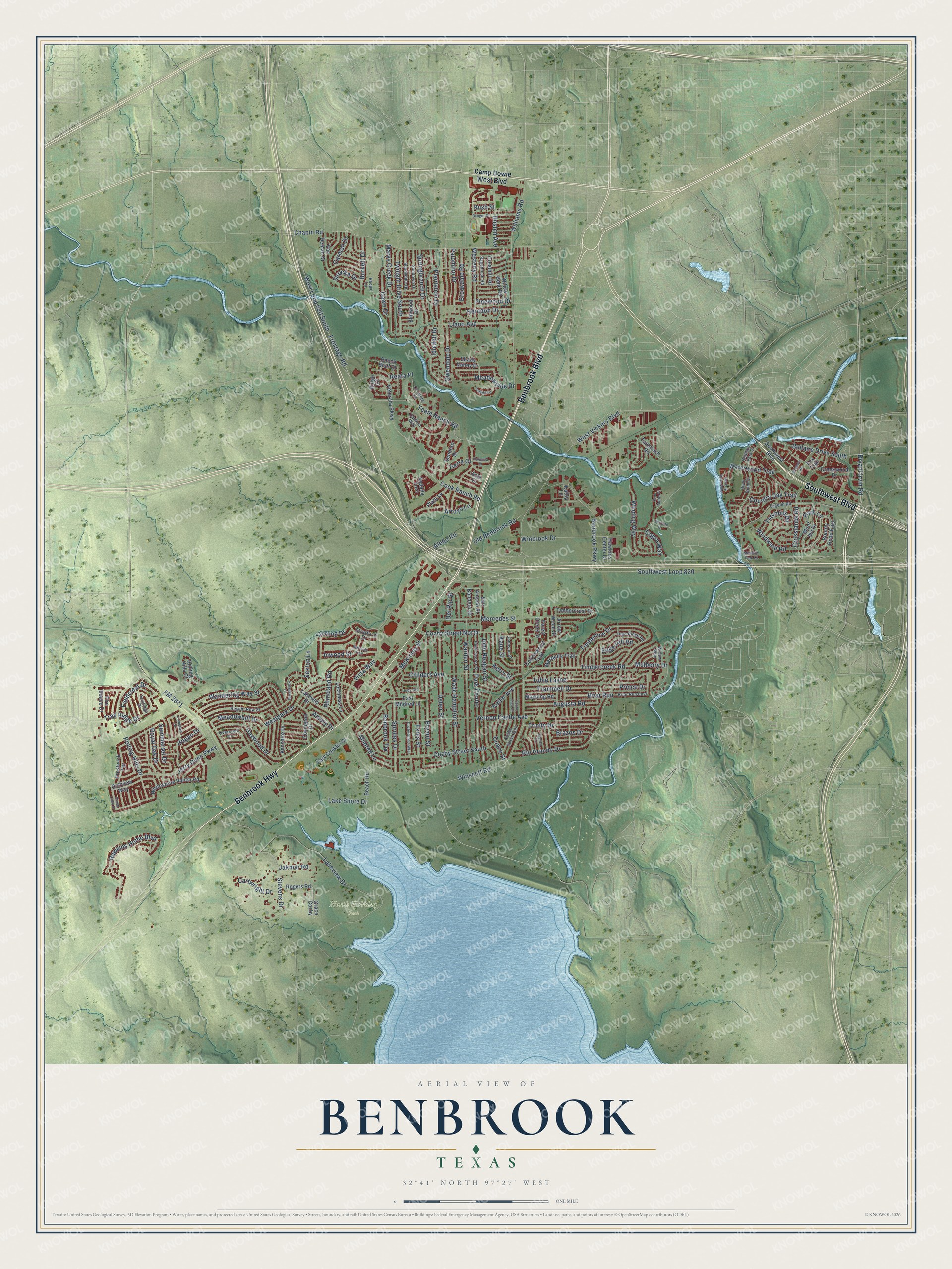
This beautifully detailed map of Benbrook, Texas was created in 2026 using aerial imagery combined with modern topographical, census, street and landmark data. It’s a one-of-a-kind view of Benbrook that combines accurate data with a vintage aesthetic. The map shows every building in its true location, many of the roads carry their names, and the shaded topographic relief shows the shape of the land.
Explore an aerial view of Benbrook, Texas
On the map you’ll find North Holiday Park and Southwest Loop 820, along with Benbrook Highway, Benbrook Boulevard, Southwest Boulevard, Frontage Road, Team Ranch Road, Bryant Irvin Road, Crosslands Road, Windward Road, Winscott Road, Chapin Road, and more. If you look closely you can even find your house accurately drawn in its correct location. Zoom in on the preview to look for yours.
Did you know this piece of Benbrook, Texas history?
From the Handbook of Texas: "By the middle 1920s, when its first population statistics were reported, only twenty persons lived in Benbrook, a number that remained constant through the following decade."
Take a closer look at the Benbrook map
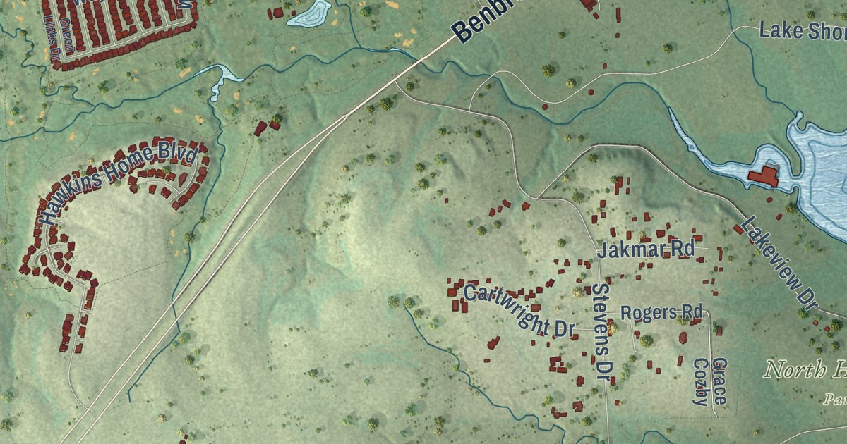
Street and place names on the Benbrook, Texas map
These names are printed on the map of Benbrook, Texas.
Places: North Holiday Park.
Streets and roads: Benbrook Highway, Benbrook Boulevard, Southwest Boulevard, Bryant Irvin Road, Frontage Road, Team Ranch Road, Timberline Drive, Crosslands Road, Trail Ridge Drive, Reata Place, Windward Road, Winscott Road.
More street names, A to Z
Aledo Road, Amory Drive, Arrow Wood Street, Arroyo Lane, Asta Court, Augusta Road, Bandera Street, Bangor Drive, Beach Road, Bellaire Drive South, Benbrook Parkway, Benbrook Terrace, Beverly Drive West, Blanco Court, Bluffside Trail, Boston Avenue, Bounty Road East, Brazos Drive, Briar Run, Briar Run East, Brookdale Road, Bryant Street, Burkett Drive, Camp Bowie West Boulevard, Cantera Way, Capra Way, Carman Drive, Cartwright Drive, Cary Conklin Drive, Chapin Road, Childers Avenue, Cook Ranch Road, Coriente Lane, Cottonwood Trail, Country Day Trail, Covington Drive, Cozby East Street, Cozby Street East, Cozby Street North, Cozby Street South, Cozby Street West, Creekwood Drive, Crenshaw Drive, Cresthill Road, Dawn Drive, Del Rio Street, Duane Street, East Mildred Lane, Edge Hill Road, Elmwood Drive, Estes Street, Fieldcrest Drive, Fire Dance Drive, FM 2871, Forest Creek Street, Fox Trail, Golfview Way, Grace Cozby, Green Links Drive, Hawkins Center Drive, Hawkins Home Boulevard, Haywood Drive, Herndon Drive, Highland Park Drive, High Ridge Road, Hogan Drive, Idledell Drive, Inwood Street, Jakmar Road, Jerry Dunn Parkway, John Reagan Street, Johnson Drive, Judy Avenue, Kane Street, Kathy Lane, Keller Avenue, Kenshire Drive, Kerry Street, Lake Shore Drive, Lakeview Drive, Lakeway Drive, Legend Road, Llano Avenue, Lochness Lane, Manning Road, Marys Creek Drive, McKinley Street, Meadowhill Drive, Meadow Park Court, Meadow Road, Meadowside Drive, Mercedes Street, Mesquite Trail, Mildred Lane, Mont del Drive, Mulberry Drive, Old Benbrook Road, One Main Place, Overcrest Drive, Owendale Drive, Palomino Drive, Park Center, Park Center Street, Park Lane, Patreota Drive, Pecan Lane, Pinewood Drive, Plantation Drive, Plata Lane, Prestwick Terrace, Prince Drive, Ranch Bluff Court, Ravensway Drive, Regent Row Street, Rhineland Road, Ridge Circle, Rio Grande Drive, River Bend Drive, Rogers Road, Rolling Hills Court, Rolling Hills Drive, Royal Oak Drive, Rush Street, Sagebrush Road, San Angelo Street, Sedalia Trail, Sendero Drive, Serrano Drive, Sexton Lane, Shady Valley Drive, Sirocka Drive, Southwest Loop 820, Springbranch Drive, Sproles Drive, Sterling Drive, Stevens Drive, Stratford Drive, Summerset Drive, Sundown Drive, Sunnydale Drive, Sunridge Drive, Tamarack Road, Thornhill Road, Tierra Court, Timbercreek Road, Timbercrest Drive, Tobie Layne, Trammell Drive, Trinity Drive, Twilight Drive South, Usher Street, Van Deman Drive, Vernon Castle Avenue, Veterans Parkway, Vista Way, Wade Hampton Street, Wandering Way Street, Warden Street, Waterwood Trail, Wendy Lane, Westerly Road, West Loop 820 South, Westpark Drive, West Vickery Boulevard, Whitestone Ranch Road, Williams Road, Willow Bend Road, Willow Way, Winbrook Drive, Winding Way.
See the Benbrook, Texas map on a wall
The Benbrook map as an 18 x 24 inch print in a black frame.

This beautifully detailed map of Benbrook makes an attractive addition to your office, library, or den, and it can even be used to teach children the geography and history of the area. It also makes a great gift for anyone with Benbrook roots. When you’re done exploring, click here to get your copy of the Benbrook map.