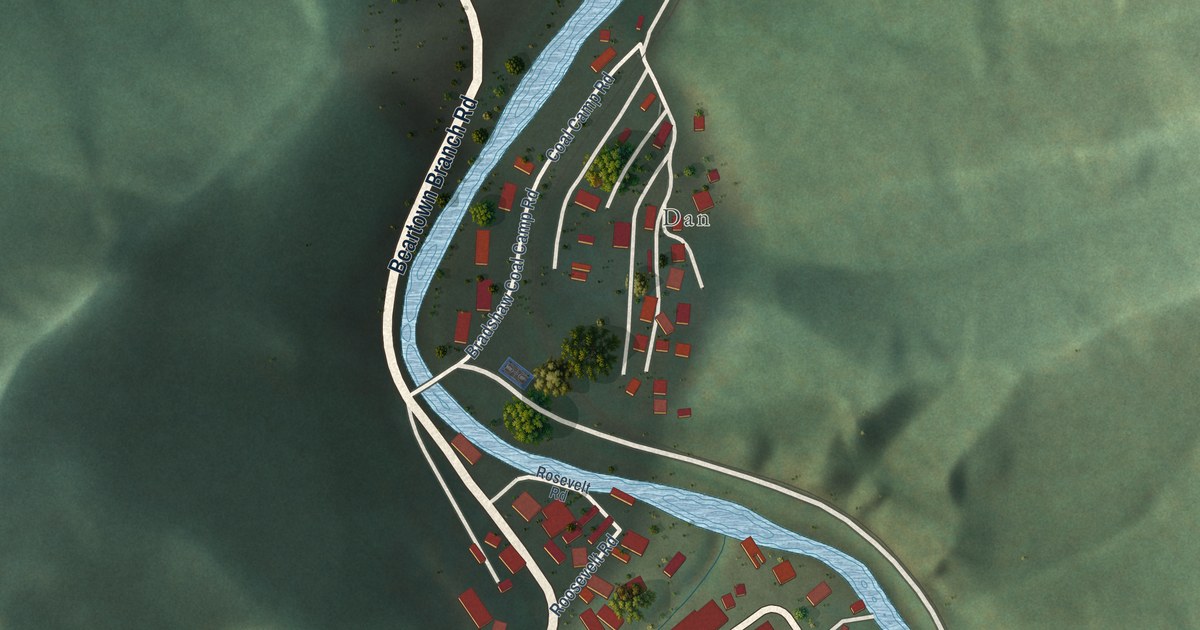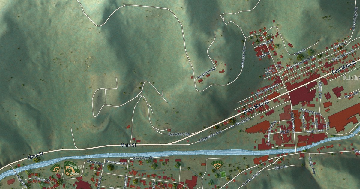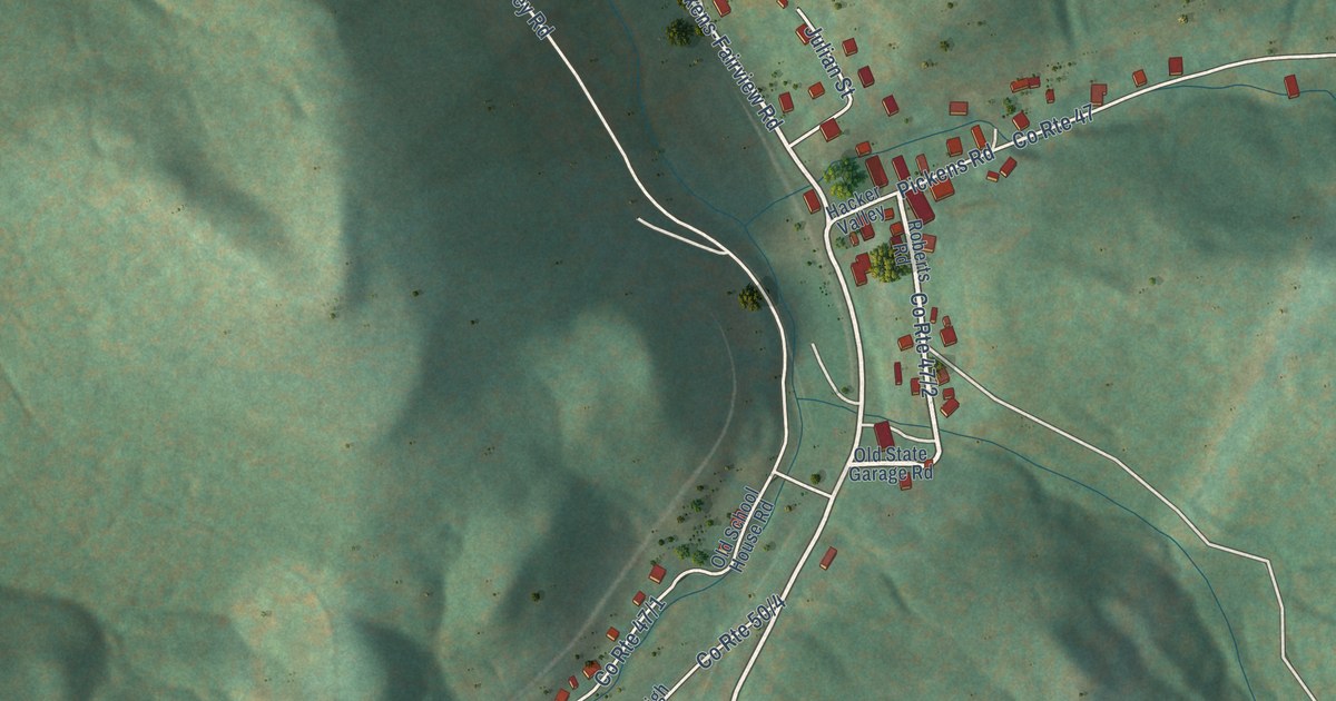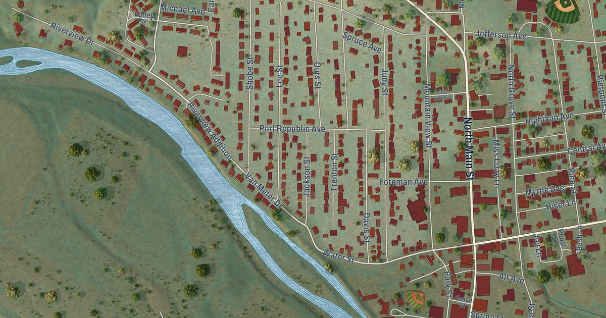
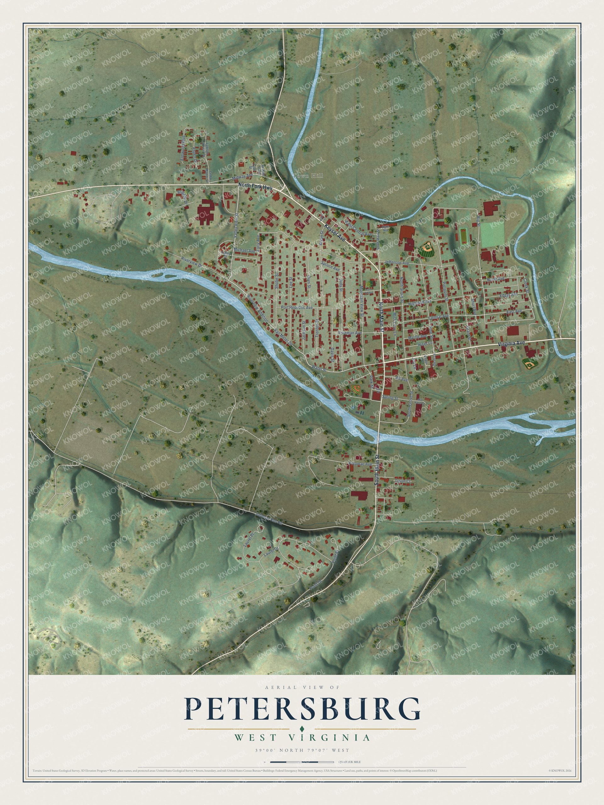
This beautifully detailed map of Petersburg, West Virginia was created in 2026 using aerial imagery combined with modern topographical, census, street and landmark data. It’s a one-of-a-kind view of Petersburg that combines accurate data with a vintage aesthetic. The map shows every building in its true location, many of the roads carry their names, and the shaded topographic relief shows the shape of the land.
Explore an aerial view of Petersburg, West Virginia
On the map you’ll find Town Hill and Riverview Addition, along with North Fork Highway, North Main Street, Virginia Avenue, South Main Street, Keyser Avenue, Valley View Street, Water Street, Van Meter Drive, Rig Street, East Avenue, and more. If you look closely you can even find your house accurately drawn in its correct location. Zoom in on the preview to look for yours.
Did you know this piece of Petersburg, West Virginia history?
From the West Virginia Encyclopedia: "In April 1863, part of the Jones-Imboden Raid passed through the day before the Battle of Greenland Gap. Between August and December 1863, Union troops under Colonel James Mulligan built and occupied the earthen-and-timber Fort Mulligan at Petersburg to protect against Confederate attacks on the Baltimore & Ohio Railroad, particularly by guerrillas such as McNeill’s Rangers."
Take a closer look at the Petersburg map
Street and place names on the Petersburg, West Virginia map
These names are printed on the map of Petersburg, West Virginia.
Places: Town Hill.
Streets and roads: North Fork Highway, North Main Street, Virginia Avenue, South Main Street, Keyser Avenue, Valley View Street, Water Street, Riverview Addition, Van Meter Drive, Rig Street, East Avenue, Creek Street.
More street names, A to Z
Alt Avenue, Aspen Drive, Brakes Loop, Brigade Drive, Bryan Street, Bush Lane, Cedar Manor Court, Central Avenue, Davis Street, Early Avenue, Edgar Avenue, Elmwood Boulevard, Foreman Avenue, Fort Hill Avenue, Grant Street, Highland Avenue, Hiser Lane, Hyre Avenue, Jackson Street, Jefferson Avenue, Johnson Run Road, Joy Lane, Judy Street, Laurel Drive, Laurel Place, Lawson Cypress Drive, Lee Street, Michael Avenue, Midway Avenue, Mill Race Court, Miss Lizzy Lane, Mountain View Street, Myrtle Avenue, North Avenue, North Grove Street, Ours Street, Park Street, Pepsi Lane, Pierpont Street, Pine Street, Point Drive, Point Place, Port Republic Avenue, Potomac Avenue, Riverview Drive, Shobe Street, Short Avenue, South Grove Street, Spring Street, Spruce Avenue, Trenton Street, Tyler Street, Tyson Court, Valley Street, Veach Street, Welker Lane, West Central Avenue.
See the Petersburg, West Virginia map on a wall
The Petersburg map as an 18 x 24 inch print in a black frame.

This beautifully detailed map of Petersburg makes an attractive addition to your office, library, or den, and it can even be used to teach children the geography and history of the area. It also makes a great gift for anyone who grew up in Petersburg or moved away. When you’re done exploring, click here to get your copy of the Petersburg map.