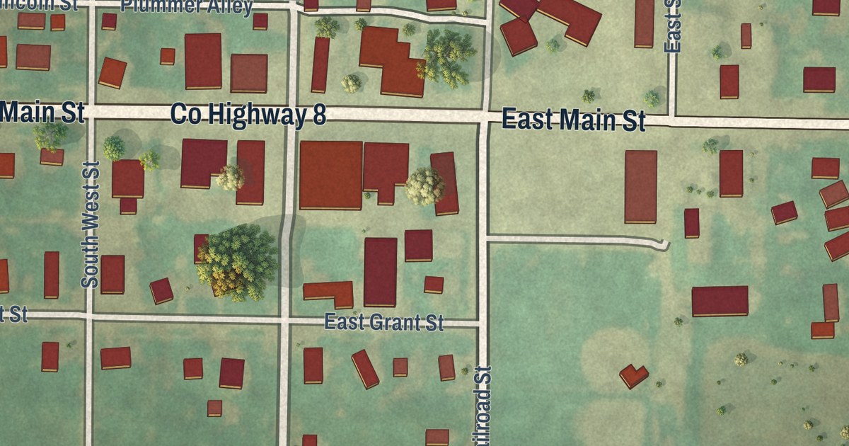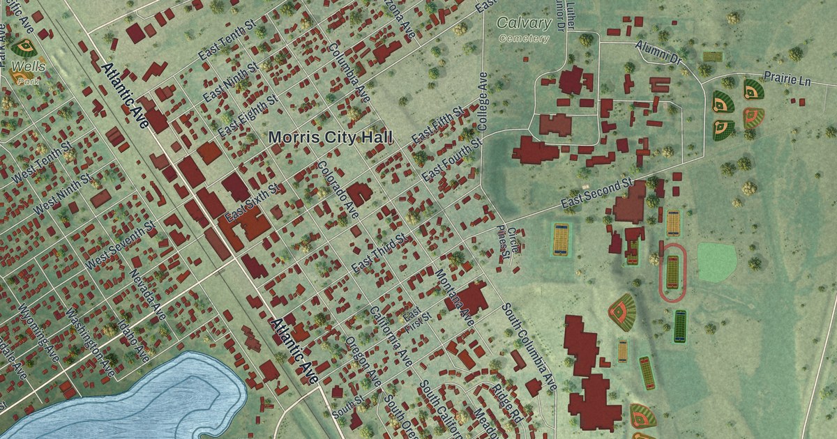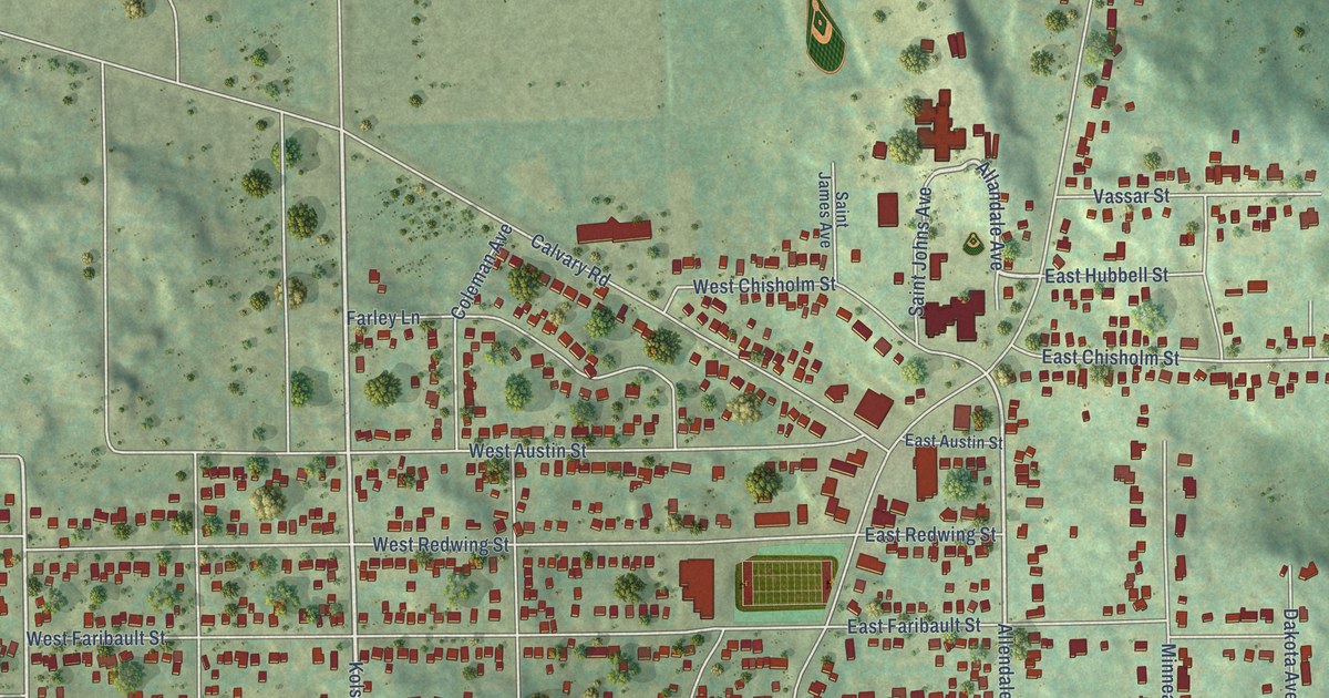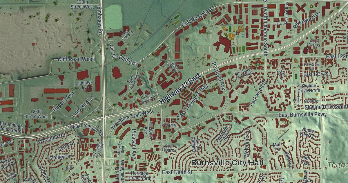
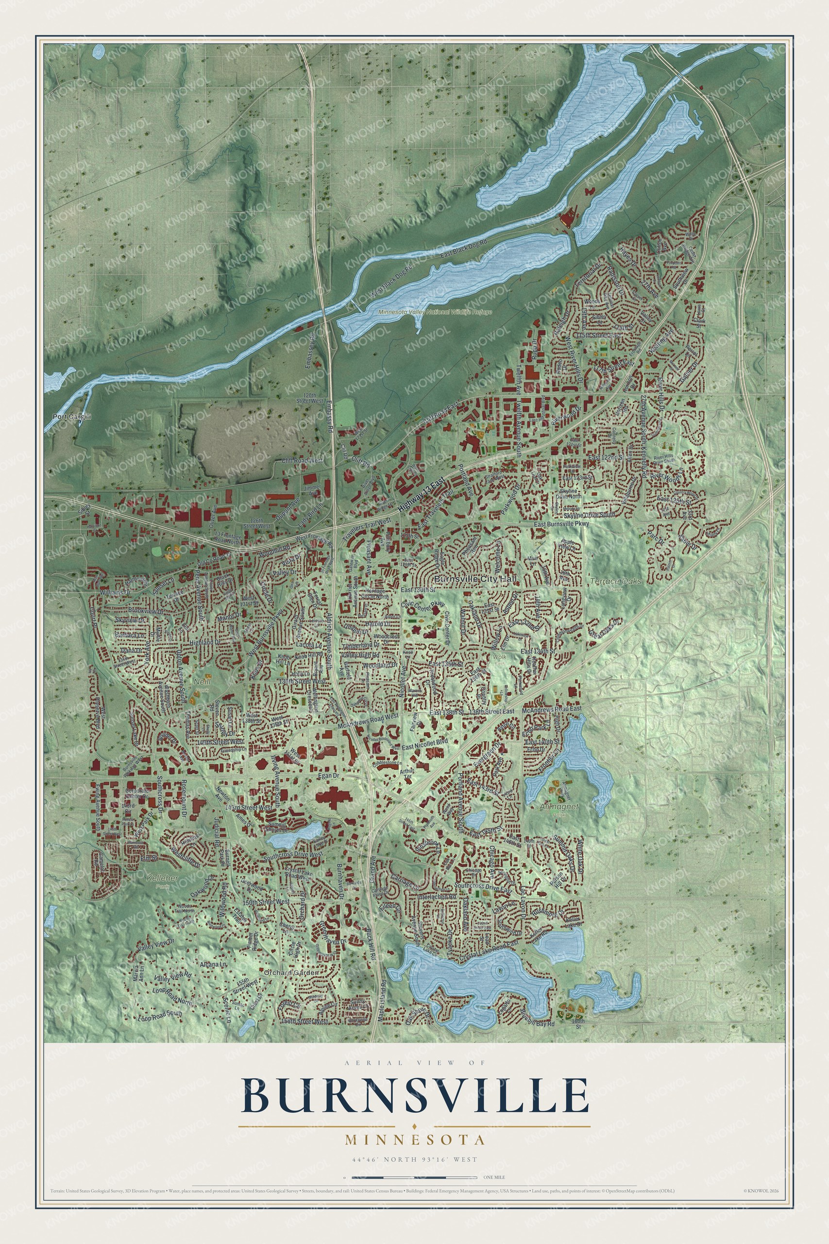
This beautifully detailed map of Burnsville, Minnesota was created in 2026 using aerial imagery combined with modern topographical, census, street and landmark data. It’s a one-of-a-kind view of Burnsville that combines accurate data with a vintage aesthetic. The map shows every building in its true location, many of the roads carry their names, and the shaded topographic relief shows the shape of the land.
Explore an aerial view of Burnsville, Minnesota
On the map you’ll find Burnsville City Hall, Orchard Garden, Alimagnet Park, Kelleher Park, Minnesota Valley National Wildlife Refuge, Neill Park, Red Oak Park, Terrace Oaks Park, Wolk Park, and Port Cargill, along with Highway 13 East, Judicial Road, and more. If you look closely you can even find your house accurately drawn in its correct location. Zoom in on the preview to look for yours.
Did you know this piece of Burnsville, Minnesota history?
From the Dakota County Historical Society: "O n May 11, 1858, Burnsville, then spelled Byrnesville, organized as one of Dakota County’s first 17 townships."
Take a closer look at the Burnsville map
Street and place names on the Burnsville, Minnesota map
These names are printed on the map of Burnsville, Minnesota.
Places: Burnsville City Hall, Orchard Garden, Alimagnet Park, Kelleher Park, Minnesota Valley National Wildlife Refuge, Neill Park, Red Oak Park, Terrace Oaks Park, Wolk Park and Port Cargill.
Streets and roads: Highway 13 East, Judicial Road, West Burnsville Parkway, Southcross Drive West, East Burnsville Parkway, Cliff Road East, Nicollet Avenue, Southcross Drive, McAndrews Road West, 140th Street West, East 138th Street, McAndrews Road East.
More street names, A to Z
13 Frontage Road North, 14th Avenue, 16th Avenue, 18th Avenue, 19th Avenue, 27th Avenue, 27th Avenue South, 31st Avenue, 33rd Avenue, 35 Frontage Road West, 114th Street, 115th Street East, 117th Street East, 120th Street West, 125th Street, 126th Street West, 134th Street West, 136th Street West, 138th Street East, 143rd Circle, 143rd Lane, 143rd Street West, 145th Street East, 145th Street West, 146th Street, 150th Street West, 152nd Street East, 155th Street West, 158th Street West, 160th Street, Alcana Lane, Aldrich Avenue South, Alimagnet Parkway, Allen Drive, Alpine Circle, Ames Drive, Apple View Lane, Arbor Lane, Arthur Terrace, Aspen Drive, Aston Circle, Barbara Lane, Black Hills Drive, Bluebill Bay Road, Boulder Drive, Boulder Way, Brookview Drive, Bryant Avenue, Buck Hill Road, Burkards Drive, Burnell Park Drive, Burnhaven Drive, Burnsville Circle, Burnsville Parkway West, Butternut Lane, Camelot Road, Carriage Lane, Carriage Place Drive, Carver Court, Cedar Bridge Avenue, Cherry Lane, Chicago Avenue, Chicago Drive, Circle Drive, Circle High Drive, Civic Center Drive, Civic Center Parkway, Clark Street, Cliff Road, Cliff Road West, Clif Road, Clifton Avenue, Cobblestone Lane, Commonwealth Drive, Connelly Drive, Corporate Center Drive, Country Place, Country Wood Drive, Court Place, Crest Drive, Crystal Lake Circle, Crystal Lake Road East, Crystal Lake Road West, Dana Drive, Deerwood Drive, Dupont Avenue, Eagle Bluff Drive, Eagle Ridge Drive, Earley Lake Place, East 121st Street, East 122nd Street, East 123rd Street, East 125th Street, East 129th Street, East 130th Street, East 131st Street, East 132nd Street, East 134th Street, East 135th Street, East 136th Street, East 140th Street, East 143rd Street, East 145th Street, East 146th Street, East Black Dog Road, East Manor Boulevard, East Nicollet Boulevard, East Travelers Trail, East Wellington Crescent, Echo Drive, Echo Park Lane, Egan Drive, Eileen Circle, Elm Drive, Elm Lane, Elm Street, Embassey Road, Embassy Road, Estates Trail, Evergreen Drive, Ewing Avenue South, Fairview Drive, Fellowship Lane, Forest Circle, Forest Glen Drive, Forest Park Lane, Foxpoint Road, Friendship Lane, Frontage Road, Frontier Lane, Galtier Drive, Garfield Avenue, Gateway Boulevard, Girard Avenue, Girard Avenue South, Grand Avenue, Great Oaks Drive, Greenhaven Drive, Greenhaven Way, Hamilton Street, Harmony Circle, Harold Drive, Harriet Avenue South, Hayes Drive, Heather Hills Drive, Heritage Circle North, High Drive, Highland Drive, Hillshire Lane, Hillside Lane, Hollow Park Lane, Holly Lane, Horizon Drive, Horizon Road, Innsbrook Lane, Interlachen Lane, Interlachen Road, Irving Avenue South, Ivy Terrace, Jimmer Avenue, Keating Avenue, Keller Lake Drive, Keller Lake Road, Kennelly Road, Knob Hill Lane, Knob Hill Road, Knoll Lane, Knox Drive, Krestwood Drive, Lac Lavon Drive, Lacota Lane, Lady Bird Lane, Lakeview Drive, Larc Industrial Boulevard, Lavon Lane, Lead Street, Leisure Lane, Lewis Court, Logarto Lane, London Drive, Longview Drive, Loop Road North, Loop Road South, Manor Drive, Maple Island Road, Marcia Ann Lane, Marcin Hill, McLeod Street, Melody Lane, Millpond Avenue, Muir Lane, Myrtle Drive, Newton Avenue, Nicollet Boulevard West, Oakland Avenue, Oakland Drive, Oak Leaf Court, Oak Run Lane, Oak Shore Drive, Oakwood Curve, Oakwood Drive, Old County Road 34, Oliver Avenue, Oliver Avenue South, Orchard Drive, Parc Drive, Park Avenue, Parkview Lane, Parkwood Drive, Parkwood Lane, Parson Hill Drive, Penn Avenue South, Perrot Lane, Pheasant Run, Pillsbury Avenue, Pleasant Avenue, Pleasant Lane, Pleasant Place, Plymouth Avenue, Portland Avenue, Portland Avenue South, Radisson Drive, Rainier Court, Raleigh Drive, Rambush Road, Regent Lane, River Hills Drive, River Hills Drive South, River Ridge Boulevard, River Ridge Lane, Riverwood Drive, River Woods Lane, Rodeo Drive, Rose Bluff Boulevard, Rosemount Drive, Rupp Drive, Rushmore Drive, Sable Drive, Scenic Lane, Scott Street, Shelly Lane, Shirley Drive, Sibley Court, Sibley Street, Skyline Drive, Skyline Drive North, Skyline Drive South, Skyview Drive, Slater Lane, Southcross Drive East, Southview Drive, Southwind Drive, Springhill Drive, Steven Road, Stevens Avenue South, Stratford Lane West, Sumac Lane, Summerset Lane, Summit Oaks Drive, Summit Shores Drive, Sunny Acres Lane, Sunset Lake Drive, Sunset Lane, Susan Lane, Terrace Drive, Territorial Drive, Thomas Avenue, Tiffany Court, Timberland Drive, Timber Ridge Drive, Travelers Trail West, Twelfth Avenue, Twelfth Avenue South, Tyacke Drive, Unique Drive, Upton Avenue South, Valley Court, Valley Drive, Valley High Road, Valley View Drive, Valley View Road, Viewcrest Lane, Villaburne Drive, Vista Drive, Vivian Drive, Walnut Drive, Washburn Avenue South, Welcome Lane, Wellington Crescent, West 121st Street, West 131st Street, West 138th Street, West 139th Street, West 141st Street, West Black Dog Road, Westcliffe Drive, West Frontage Road, West Park Drive, West Preserve Boulevard, West River Hills Drive, White Oak Drive, Wildwood Court, Wildwood Road, Williams Drive, Willie Drive, Willoway Circle, Willow Lane, Woodcrest Drive, Woodhill Road, Wood Lake Drive, Woodland Drive, Woods Lane, Woods Trail North, Woods Trail South, Wood Way, York Avenue, Zebulon Pike Avenue.
See the Burnsville, Minnesota map on a wall
The Burnsville map as an 18 x 24 inch print in a black frame.

This beautifully detailed map of Burnsville makes an attractive addition to your office, library, or den, and it can even be used to teach children the geography and history of the area. It also makes a great gift for someone who left Burnsville and still calls it home. When you’re done exploring, click here to get your copy of the Burnsville map.