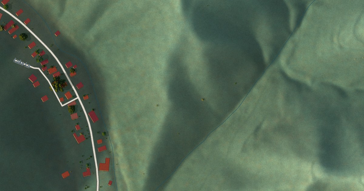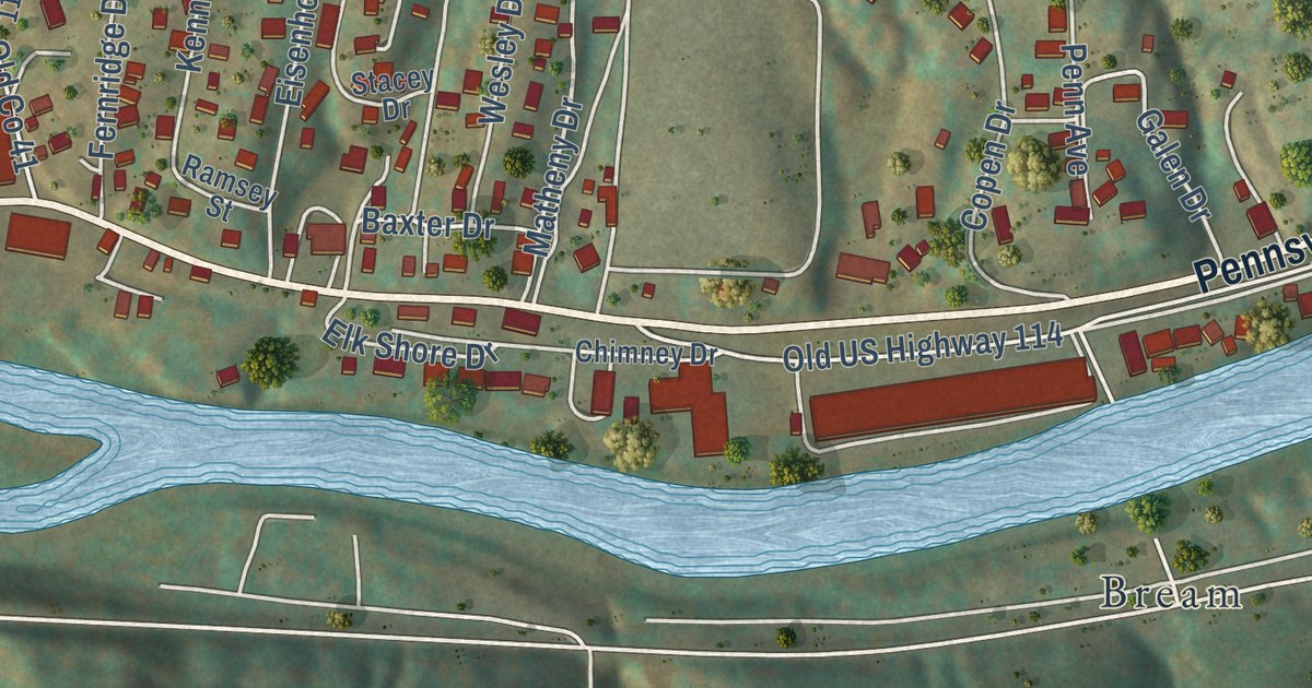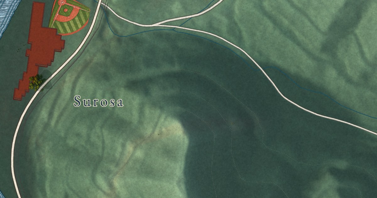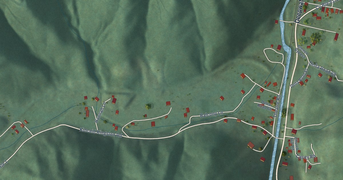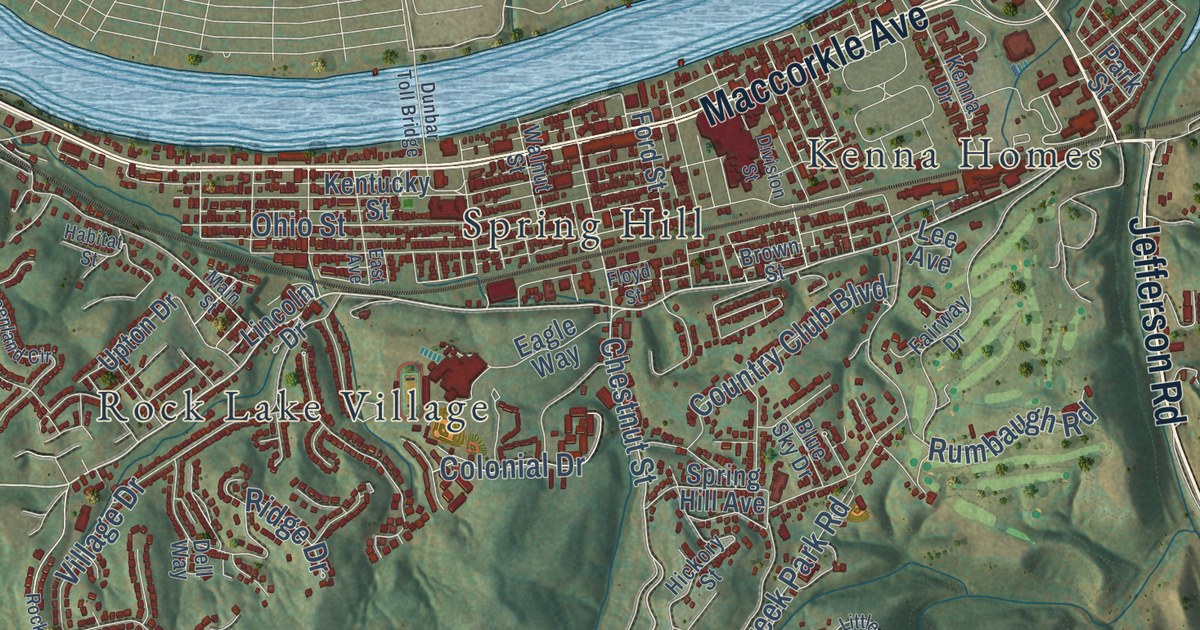
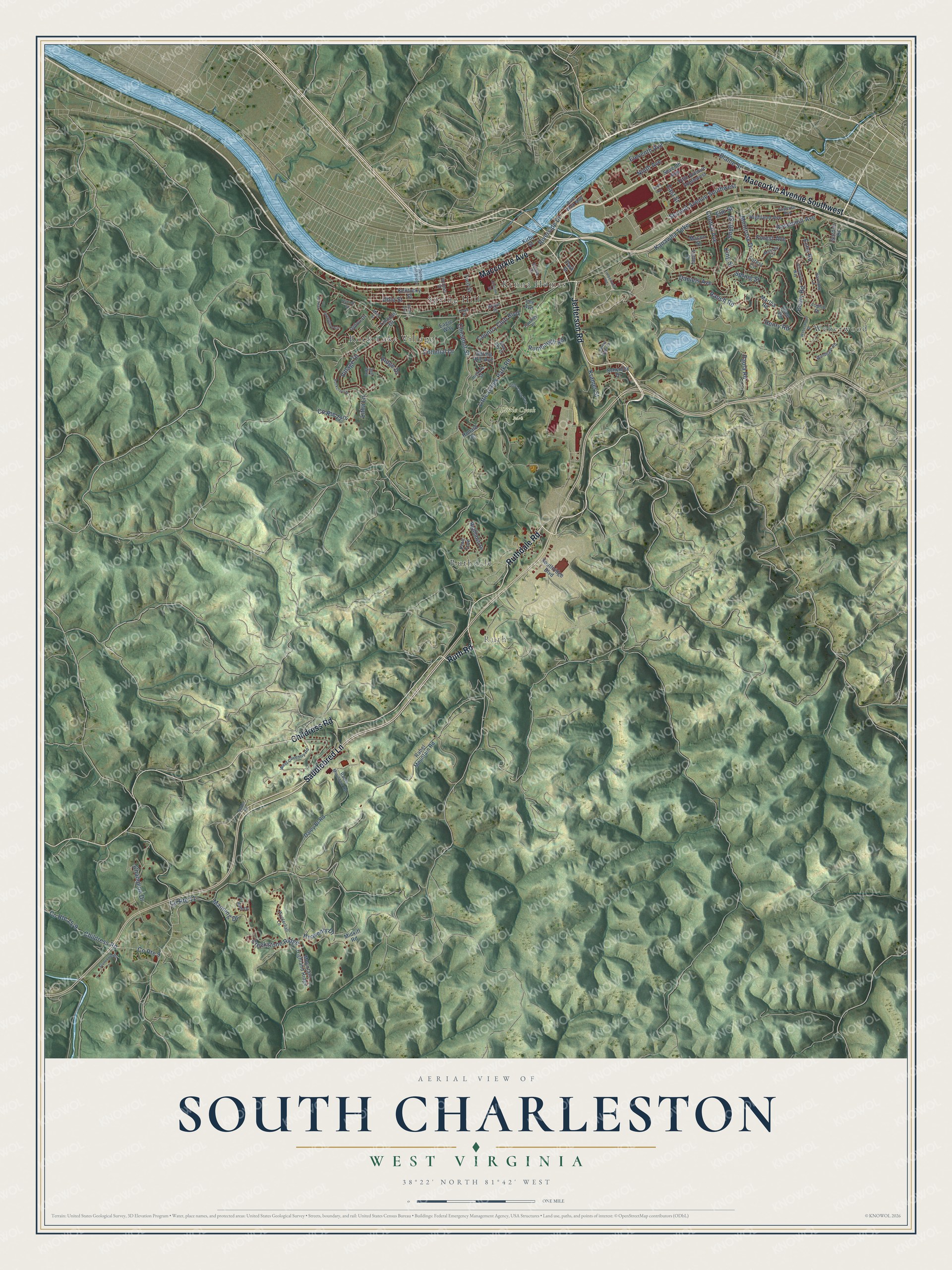
This beautifully detailed map of South Charleston, West Virginia was created in 2026 using aerial imagery combined with modern topographical, census, street and landmark data. It’s a one-of-a-kind view of South Charleston that combines accurate data with a vintage aesthetic. The map shows every building in its true location, many of the roads carry their names, and the shaded topographic relief shows the shape of the land.
Explore an aerial view of South Charleston, West Virginia
On the map you’ll find Ruth, Little Creek Park, Kenna Homes, Rock Lake Village, Ruthdale, Spring Hill, and Weberwood, along with Jefferson Road, Saddlebred Lane, Ruthdale Road, Childress Road, Maccorkle Avenue Southwest, and more. If you look closely you can even find your house accurately drawn in its correct location. Zoom in on the preview to look for yours.
Did you know this piece of South Charleston, West Virginia history?
From the West Virginia Encyclopedia: "The federal government broke ground for the huge Naval Ordnance Plant, but the war was over by the time the plant produced its first steel in February 1921. The plant has since been put to a variety of military and civilian uses. By 1919, South Charleston had grown to more than 3,000 residents, and the state legislature officially made it a town."
Take a closer look at the South Charleston map
Street and place names on the South Charleston, West Virginia map
These names are printed on the map of South Charleston, West Virginia.
Places: Ruth, Little Creek Park, Kenna Homes, Rock Lake Village, Ruthdale, Spring Hill and Weberwood.
Streets and roads: Jefferson Road, Saddlebred Lane, Ruthdale Road, Childress Road, Maccorkle Avenue Southwest, Maccorkle Avenue, Ruth Road, Kanawha Turnpike, Heavenly Drive, Chestnut Street, Creekstone Ridge, County Route 9.
More street names, A to Z
Blaine Street, Blue Sky Drive, Brown Street, Central Avenue, Champion Drive, Colonial Drive, Country Club Boulevard, County Route 11, Daley Br Road, Daniels Avenue, Dell Way, Division Street, Dunbar Toll Bridge, Eagle Way, East Avenue, East Street, Echo Road, Eleventh Avenue, Ellen Drive, Elm Street, Fairway Drive, Fifth Avenue Southwest, Floyd Street, Ford Street, Forest Avenue, Forest Circle, Forest Edge Drive, Geary Road, Gordon Drive, Greenland Circle, Habitat Street, Harmony Lane, Henry Road, Hickory Street, Highland Avenue, Ivywood Lane, Joplin Place, Kenna Drive, Kentucky Street, King Street, Kirby Street, Kramer Street, Lee Avenue, Lincoln Drive, Litha Lane, Little Creek Park Road, Macon Street, Main Street, Manning Drive, Martha Road, Massey Circle, Midkiff Road, Montrose Drive, Mountain Highland Ridge, Ninth Avenue, Ohio Street, Park Street, Paula Road, Pine Trce, Rabel Mountain Road, Rabel Road, Ranch Road, Ridge Drive, Riverside Drive, River Walk Mall, Rockcrest Drive, Ronald Drive, Rosemont Avenue, Rumbaugh Road, Ruthlawn Drive, Schenley Drive, Second Avenue Southwest, Seventh Avenue, Sixth Avenue, Southridge Boulevard, South Street, Spring Hill Avenue, Spring Street, Stonecove Road, Superior Avenue, Timberland Road, Upton Drive, Valley Drive, Village Drive, Walnut Street, Weberwood Drive, West Coventry Road, Whispering Way, Wills Drive, Windham Road, Wynterhall Lane.
See the South Charleston, West Virginia map on a wall
The South Charleston map as an 18 x 24 inch print in a black frame.

This beautifully detailed map of South Charleston makes an attractive addition to your office, library, or den, and it can even be used to teach children the geography and history of the area. It also makes a great gift for anyone who grew up in South Charleston or moved away. When you’re done exploring, click here to get your copy of the South Charleston map.