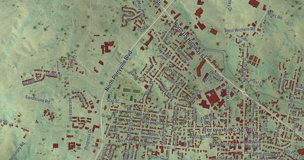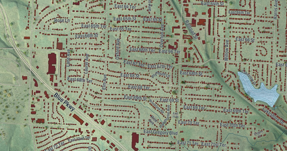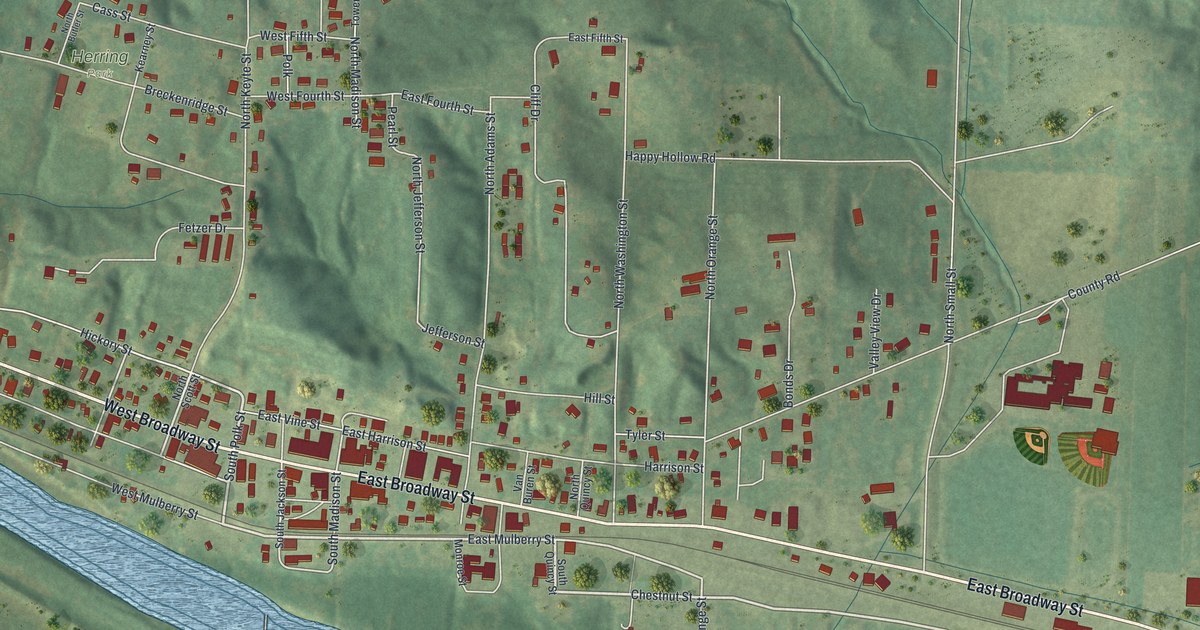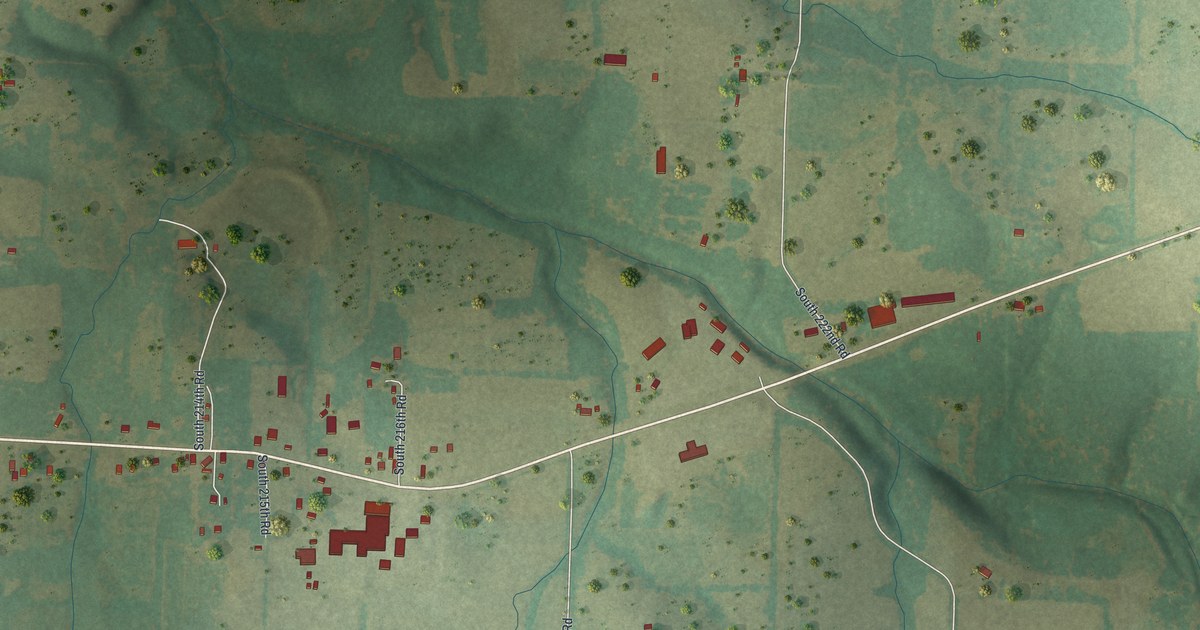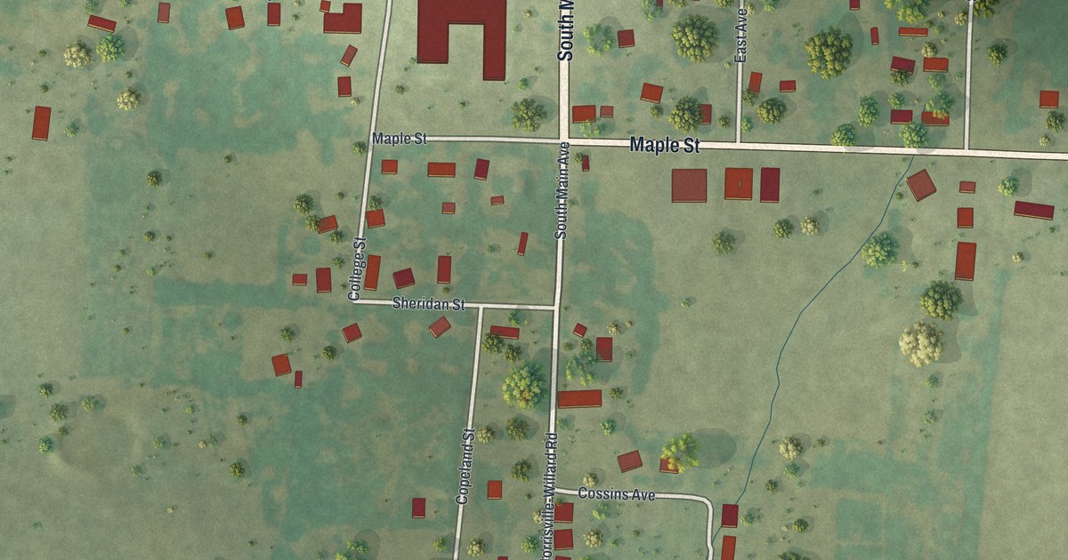
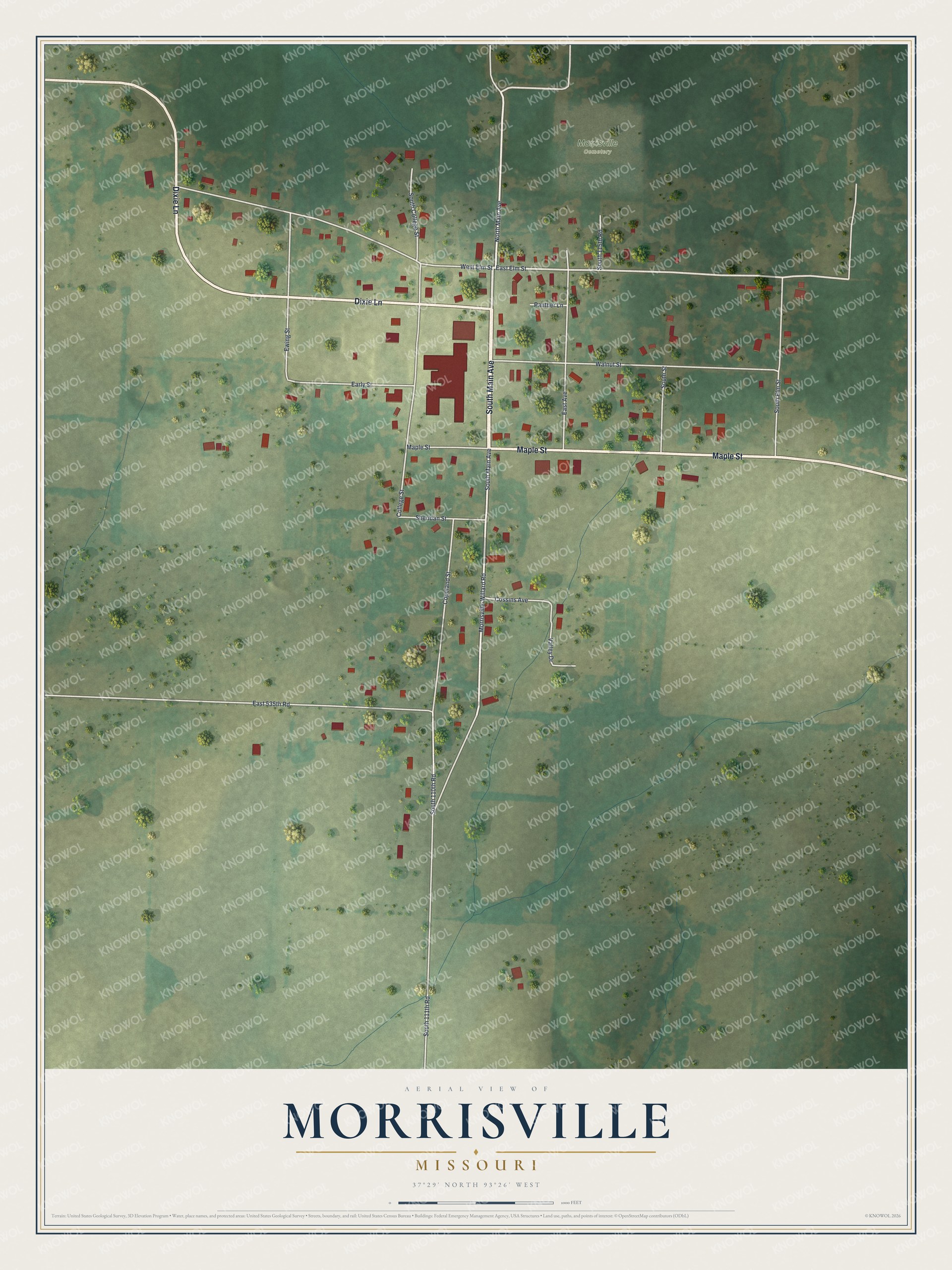
If you grew up on Main Avenue in Morrisville, or your family still lives near Maple Street, this map shows the town you know. It's a modern aerial view of Morrisville in Polk County, Missouri, made from modern data and given a vintage look. Green fields spread out on every side. Thin blue creeks wind through them. In the middle, small red shapes mark the buildings along the town's streets.
Main Avenue, Maple Street and College Street
On this map you'll find South Main Avenue, North Main Avenue, Maple Street, College Street, South College Street, Dixie Lane, East Elm Street, West Elm Street, Walnut Street, Morrisville-Willard Road, Early Street, Ewing Street, Cossins Avenue, Panther Lane, Morrisville Cemetery, and more. Each red shape is a building, so zoom in on the preview and look for yours.
Morrisville College and its chapel
Morrisville once had its own college. The 1889 Goodspeed history of Polk County tells about it through a church story. In 1857, a church group built a frame church. That church burned in 1880. After the fire, the group didn't stop meeting. It held its services in the chapel of Morrisville College instead.
The same book spoke well of the town's school, too. It said Morrisville had a "sightly two-story frame school-house." It also praised good buildings in other Polk County villages, such as Pleasant Hope, as a credit to towns of their size anywhere in the country. The 2020 Census counted 376 people in Morrisville. Look for College Street and South College Street on the map today.
Keep South Main Avenue close
Names on this map
These names are printed on this map.
Places: Morrisville Cemetery.
Streets and roads: South Main Avenue, Dixie Lane, Maple Street, North Main Avenue, East Elm Street, Morrisville-Willard Road, South 110th Road, South 111th Road, West Elm Street, Copeland Street, Walnut Street, East 535th Road.
More street names, A to Z
College Street, Cossins Avenue, Early Street, East Avenue, Ewing Street, Panther Lane, Sheridan Street, South 115th Road, South College Street, South Elm Street, South Street, Valley Drive.
Created by KNOWOL in 2026, this print shows Morrisville from above in soft greens, with white roads, thin blue creeks and red building shapes. The title panel at the bottom reads "Aerial View of Morrisville, Missouri" with the coordinates 37°29' North 93°26' West.
It fits a living room, a front hall, a den or an office wall. It's a good gift for someone who grew up near South Main Avenue and moved away, or for a family that still calls Polk County home. Open the preview and find your street. See sizes and frames for the Morrisville map.