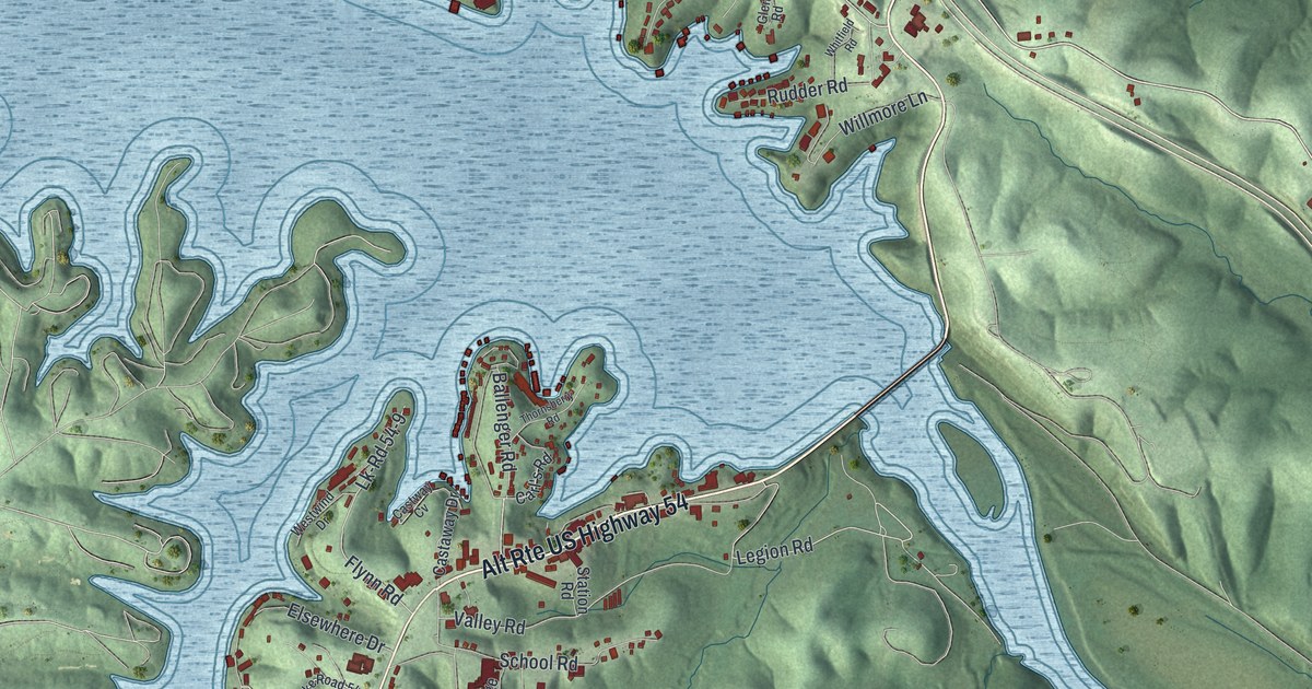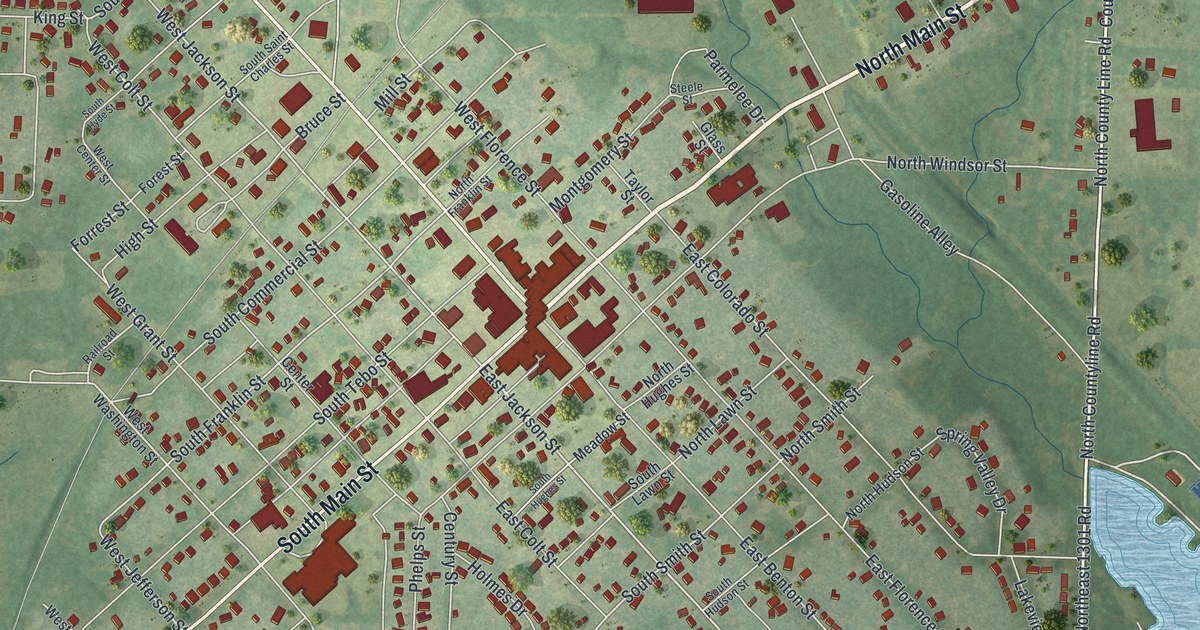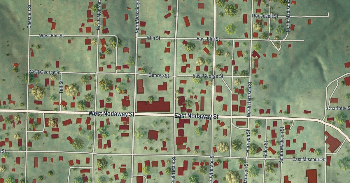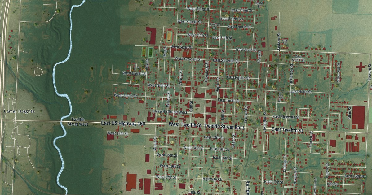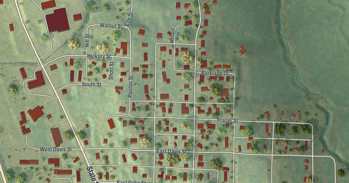
If you grew up in Mound City, played ball at the Sports Complex, or still have family along State Street, this map puts your town on one sheet. It's a modern aerial view of Mound City in Holt County, Missouri, built from modern data with a vintage artistic feel. State Street cuts across the sheet on a long slant, from the top left down to downtown near the bottom. A wide highway runs beside it on the west, and two blue ponds sit along the left edge. There are 739 buildings marked in red, from the ball fields at the top to the blocks past Depot Lane.
State Street, Nebraska Street and the Sports Complex
On this map you'll find State Street, Nebraska Street, the Sports Complex, Fifth Street, Mill Street, East Third Street, Depot Lane, Crisswell Street, Grand Avenue, East Gillis Street, East Davis Street, Frazer Street, Cemetery Road, and more. Each red shape is a building, so zoom in on the preview and look for yours.
John Handford's 1871 flour mill in Mound City
A Holt County history printed in 1882 tells how Mound City got its first flour mill. John Handford built it in 1871. It was the first flour mill in Mound City, and the first in all of Benton Township too. Eleven years later, when the book came out, Handford still owned it. On the map, Mill Street runs from the middle of town down toward the lower right, near Spring Street and High Street. The book doesn't say where the mill stood.
Mound City also had a railroad depot. The Chicago, Burlington and Quincy Depot on South State Street is on the National Register of Historic Places. It was added to the list in December 1978. State Street, Depot Lane, and Railroad Street are printed on the map.
For anyone who knows State Street and the Sports Complex
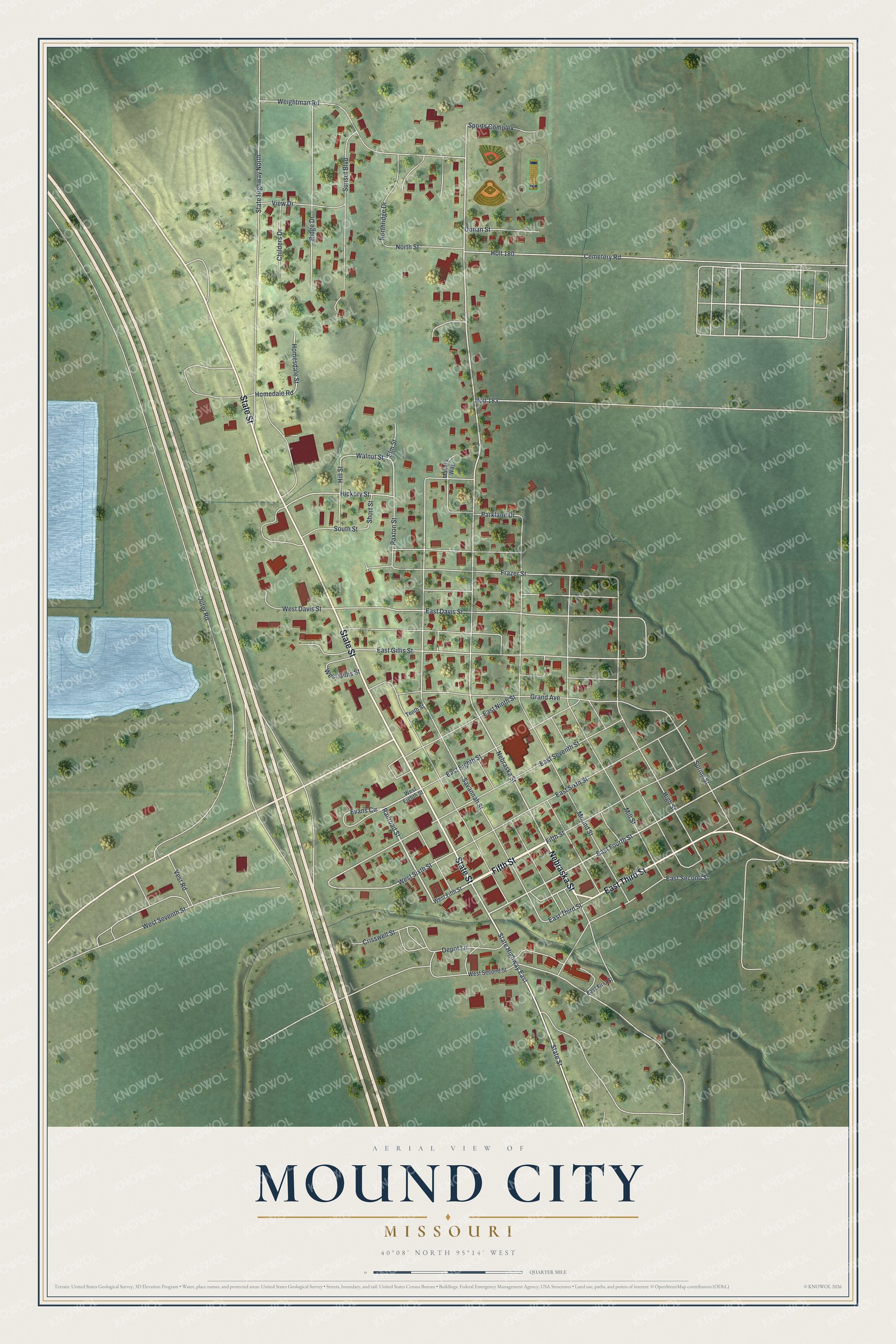
Created by KNOWOL in 2026, this Mound City map shows red buildings on soft green hills, with pale roads, blue ponds and a cream margin inside thin navy lines. USGS elevation data gives the hills their shading. The map also shows many streets by name. The title panel reads "Aerial View of Mound City, Missouri" with the coordinates 40°08' North, 95°14' West and a quarter-mile scale bar.
It fits a kitchen, a hallway or a home office. It's a thoughtful gift for someone who played ball at the Sports Complex, or who grew up near State Street and moved away. Open the preview and zoom in to find your own street. See sizes and frames for the Mound City map.