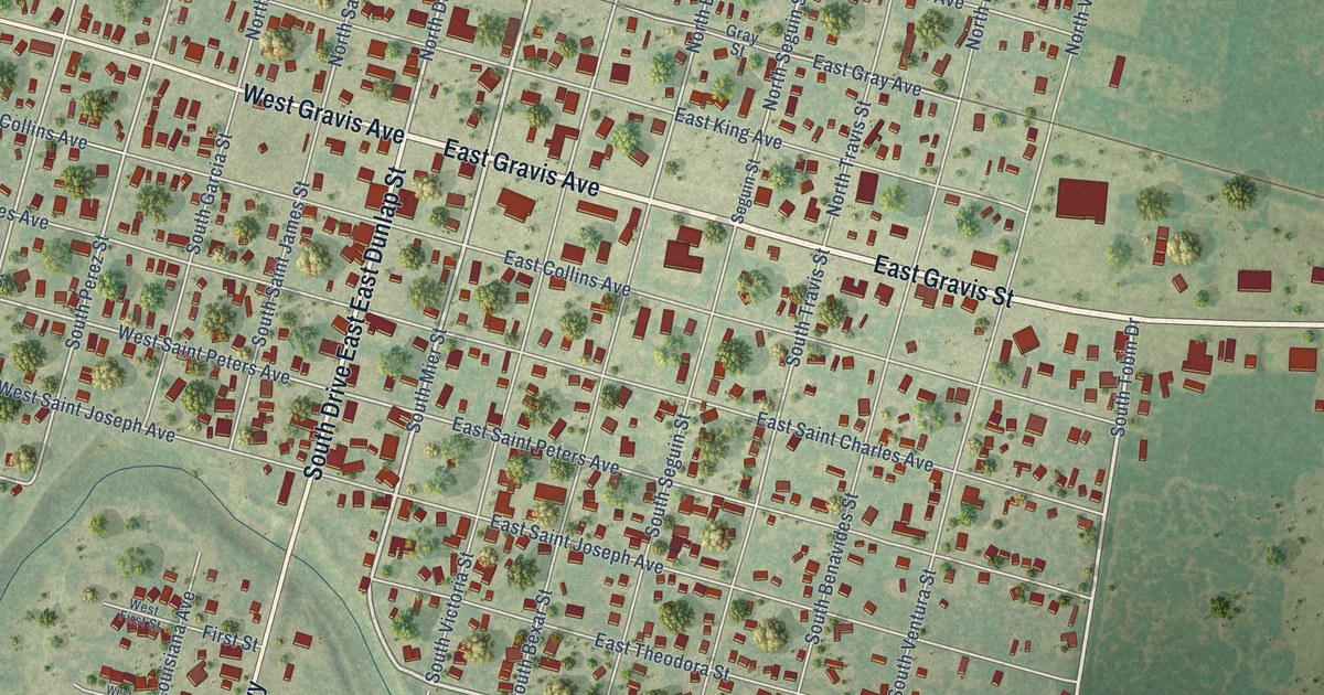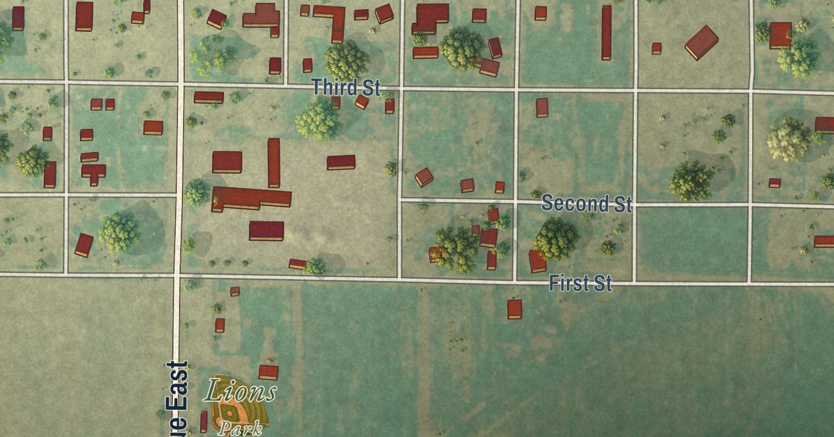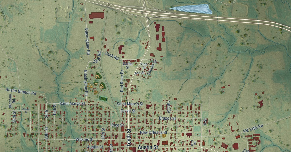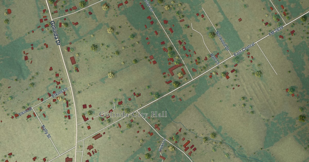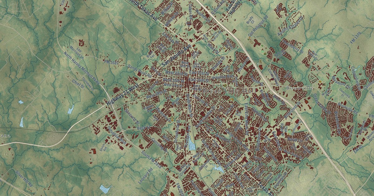
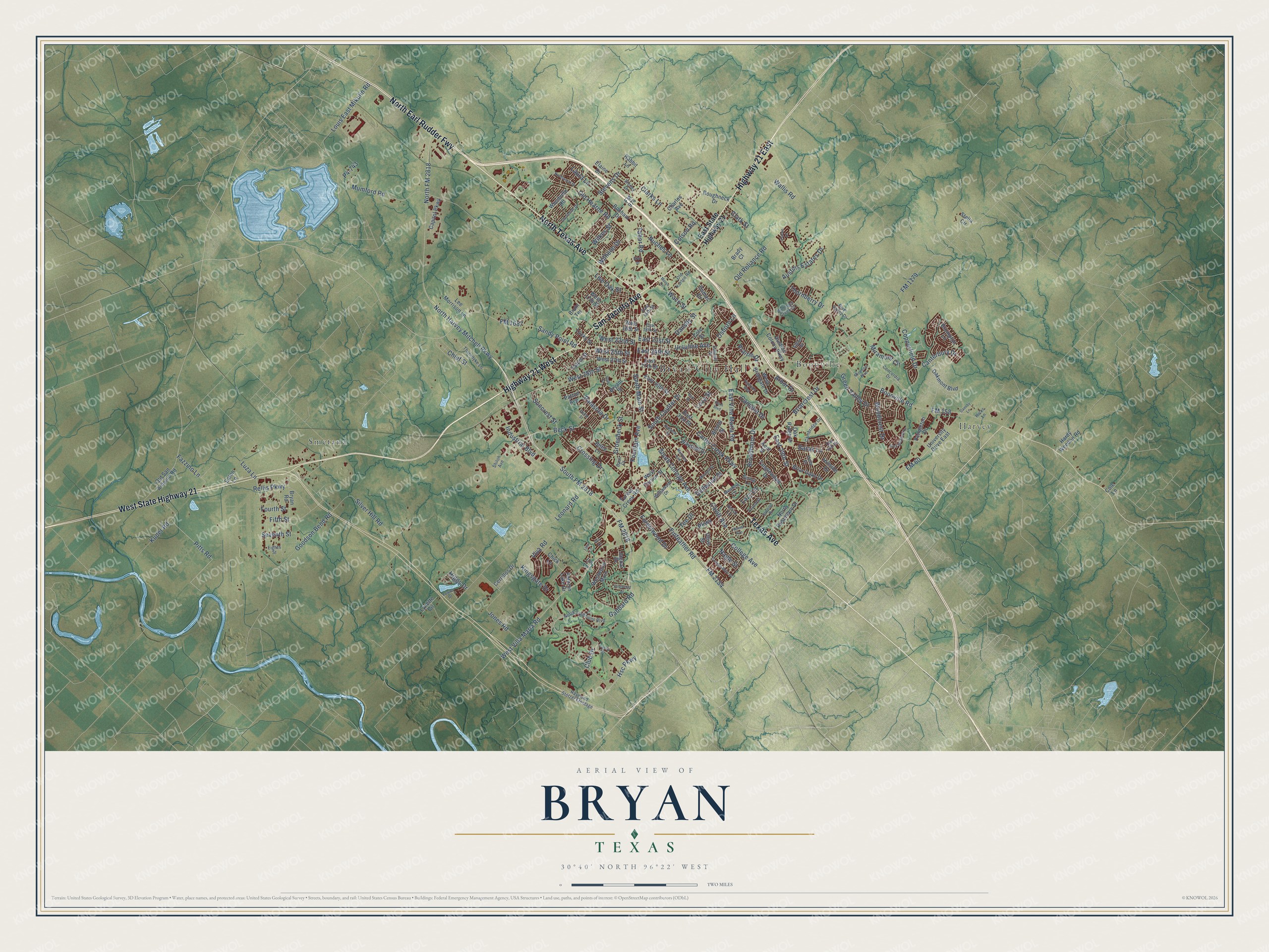
This beautifully detailed map of Bryan, Texas was created in 2026 using aerial imagery combined with modern topographical, census, street and landmark data. It’s a one-of-a-kind view of Bryan that combines accurate data with a vintage aesthetic. The map shows every building in its true location, many of the roads carry their names, and the shaded topographic relief shows the shape of the land.
Explore an aerial view of Bryan, Texas
On the map you’ll find Bryan City Hall, Boonville, Harvey, Smetana, and North Earl Rudder Fwy, along with North Texas Avenue, Texas Avenue, Highway 21 East, Highway 21 West, San Jacinto Avenue, West State Highway 21, North Harvey Mitchell Parkway, and more. If you look closely you can even find your house accurately drawn in its correct location. Zoom in on the preview to look for yours.
Did you know this piece of Bryan, Texas history?
From the Handbook of Texas: "In 1889 the city obtained electric lighting and a waterworks, and in 1900, when Bryan had a population of 3,589, a second railroad, the International-Great Northern, was built through the community."
Take a closer look at the Bryan map
Street and place names on the Bryan, Texas map
These names are printed on the map of Bryan, Texas.
Places: Bryan City Hall, Boonville, Harvey and Smetana.
Streets and roads: North Texas Avenue, North Earl Rudder Fwy, Texas Avenue, Highway 21 East, Highway 21 West, San Jacinto Avenue, West State Highway 21, North Harvey Mitchell Parkway, South FM 2818, West Villa Maria Road, East 29th Street, Beck Street.
More street names, A to Z
Arbor Drive, Austins Colony Parkway, Austins Estates Drive, Autumn Lake Drive, Barak Lane, Basil Court, Bittle Lane, Blinn Boulevard, Bonham Drive, Boonville Road, Brady Court, Briarcrest Drive, Briar Oaks Drive, Bristol Street, Broadmoor Drive, Brompton Lane, Bruin Terrace, Bryan Road, Bryant Street, Bullinger Creek Drive, Burt Street, Cambridge Drive, Camelot Drive, Canterbury Drive, Capitol Parkway, Carter Creek Parkway, Casita Court, Cavitt Avenue, Cedar Street, Cerrillos Drive, Charles Avenue, Chick Lane, Chief Street, Clarks Lane, Clark Street, Club Drive, Cole Lane, Cole Street, College Avenue, College Main Street, Colson Road, Concordia Drive, Copperfield Drive, Crossing Drive, Dansby Lane, Dansby Street, Dellwood Street, Dumas Drive, East 15th Street, East 18th Street, East 21st Street, East 24th Street, East 27th Street, East 30th Street, East 31st Street, East State Highway 21, East Villa Maria Road, Eaton Lane, Eighth Street, Elaine Drive, Elliott Street, Emmett Street, Enfield Street, Fazzino Lane, Fifth Street, Finfeather Road, FM 60, FM 158, FM 974, FM 1179, FM 1687, FM 2154, FM 2818, Forestwood Drive, Fountain Avenue, Fourth Street, Fowler Drive, Gabbard Road, Goodson Bend Road, Green Valley Drive, Groesbeck Street, Hardy Weedon Road, Hensel Avenue, Hicks Lane, Higgs Drive, Hillside Drive, Holick Lane, Holly Drive, Holt Street, Hsc Parkway, Ibis Court, Industrial Boulevard, Inwood Drive, Jaguar Drive, Jones Road, Kent Street, Kingsgate Drive, Kiwi Drive, Kuder Road, Laura Lane, Lazy Lane, Lee Morrison Lane, Leonard Road, Lis Lane, Live Oak Street, Lola Lane, Louis East Mikulin Road, Lucky Street, Luza Lane, Luza Street, Lynette Circle, Maloney Avenue, Meadow Lane, Miramont Boulevard, Miramont Circle, Mitchell Street, Morse Court, Mumford Road, Nagle Street, North FM 2818, North Rosemary Drive, North Traditions Boulevard, Northwood Drive, Nuches Lane, Oak Hill Drive, Oakmont Boulevard, Oak Ridge Drive, Oakview Street, Old Hearne Road, Old Kurten Road, Old Reliance Road, Old San Antonio Road, Olive Street, Osborn Lane, P4-743, Palasota Drive, Park Meadow Lane, Parkway, Patton Avenue, Pendleton Drive, Peterson Way, Pinewood Drive, Pitts Road, Prairie Drive, Rabbit Lane, Raymond Stotzer Frontage, Rellis Parkway, River Valley Drive, Roughneck Drive, Sandy Point Road, Seventh Street, Shiloh Avenue, Shirley Drive, Silver Hill Road, South College Avenue, South Coulter Drive, South Main Street, Southside Drive, Spring Lane, Stella Circle, Stevens Drive, Suncrest Street, Tabor Road, Tanglewood Drive, Tatum Street, Tee Drive, Thornberry Drive, Thorndyke Lane, Turkey Creek Road, University Drive East, Ursuline Avenue, Venice Drive, Viva Road, Waco Street, Wallis Road, Wayside Drive, West 17th Street, West 18th Street, West 22nd Street, West 25th Street, West 27th Street, West 28th Street, West Briargate Drive, West Carson Street, Westwood Main, Wilhelm Drive, Wilkes Street, Williamson Drive, Woodcrest Drive, Woodville Road.
See the Bryan, Texas map on a wall
The Bryan map as an 18 x 24 inch print in a black frame.

This beautifully detailed map of Bryan makes an attractive addition to your office, library, or den, and it can even be used to teach children the geography and history of the area. It also makes a great gift for anyone with Bryan roots. When you’re done exploring, click here to get your copy of the Bryan map.