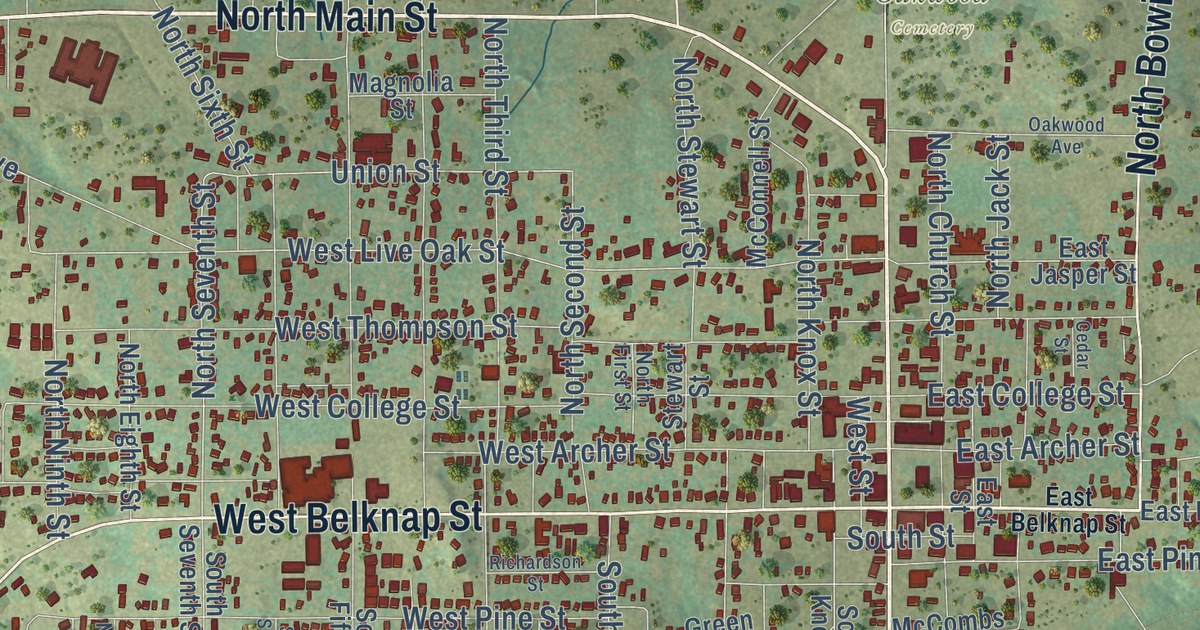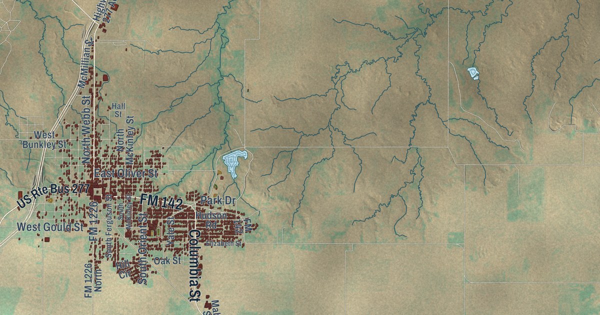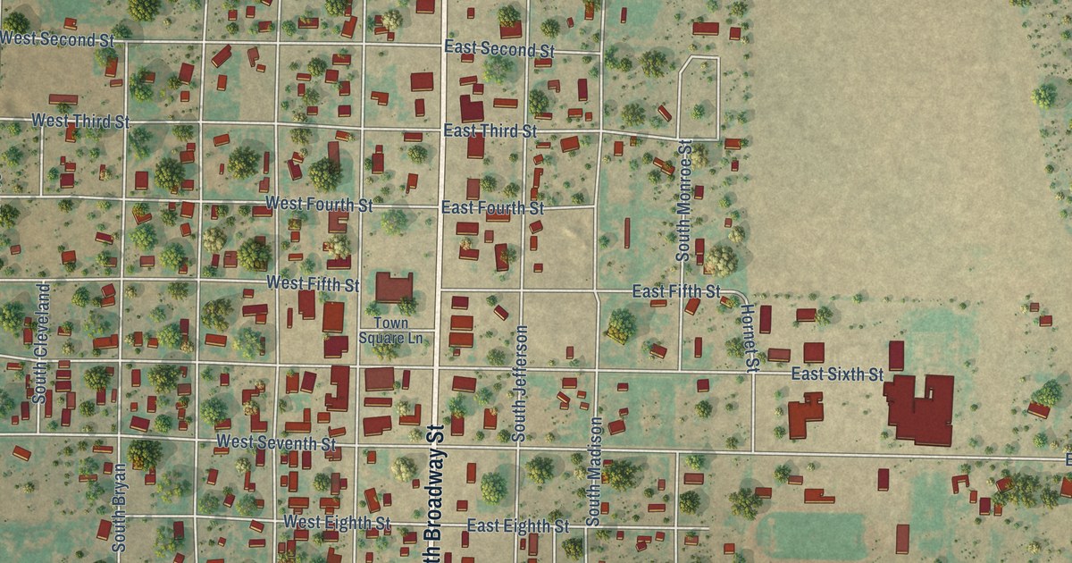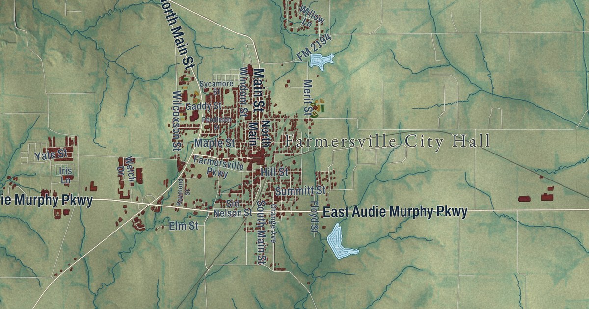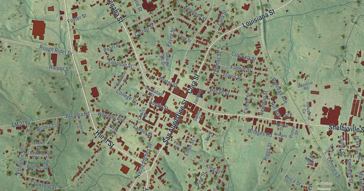
This beautifully detailed map of Center, Texas was created in 2026 using aerial imagery combined with modern topographical, census, street and landmark data. It’s a one-of-a-kind view of Center that combines accurate data with a vintage aesthetic. The map shows every building in its true location, many of the roads carry their names, and the shaded topographic relief shows the shape of the land.
Explore an aerial view of Center, Texas
On the map you’ll find Fairview Cemetery and Loop 500, along with Hurst Street, Southview Circle, Tenaha Street, San Augustine Street, Cora Street, Louisiana Street, Nacogdoches Street, State Loop 500, Shelbyville Street, Timpson Highway, and more. If you look closely you can even find your house accurately drawn in its correct location. Zoom in on the preview to look for yours.
Did you know this piece of Center, Texas history?
From the Handbook of Texas: "In 1885 the Houston East and West Texas Railway was built through the northern portion of the county, and in 1904 the Gulf, Beaumont and Great Northern Railroad was completed, crossing through the center of the county from north to south."
Take a closer look at the Center map
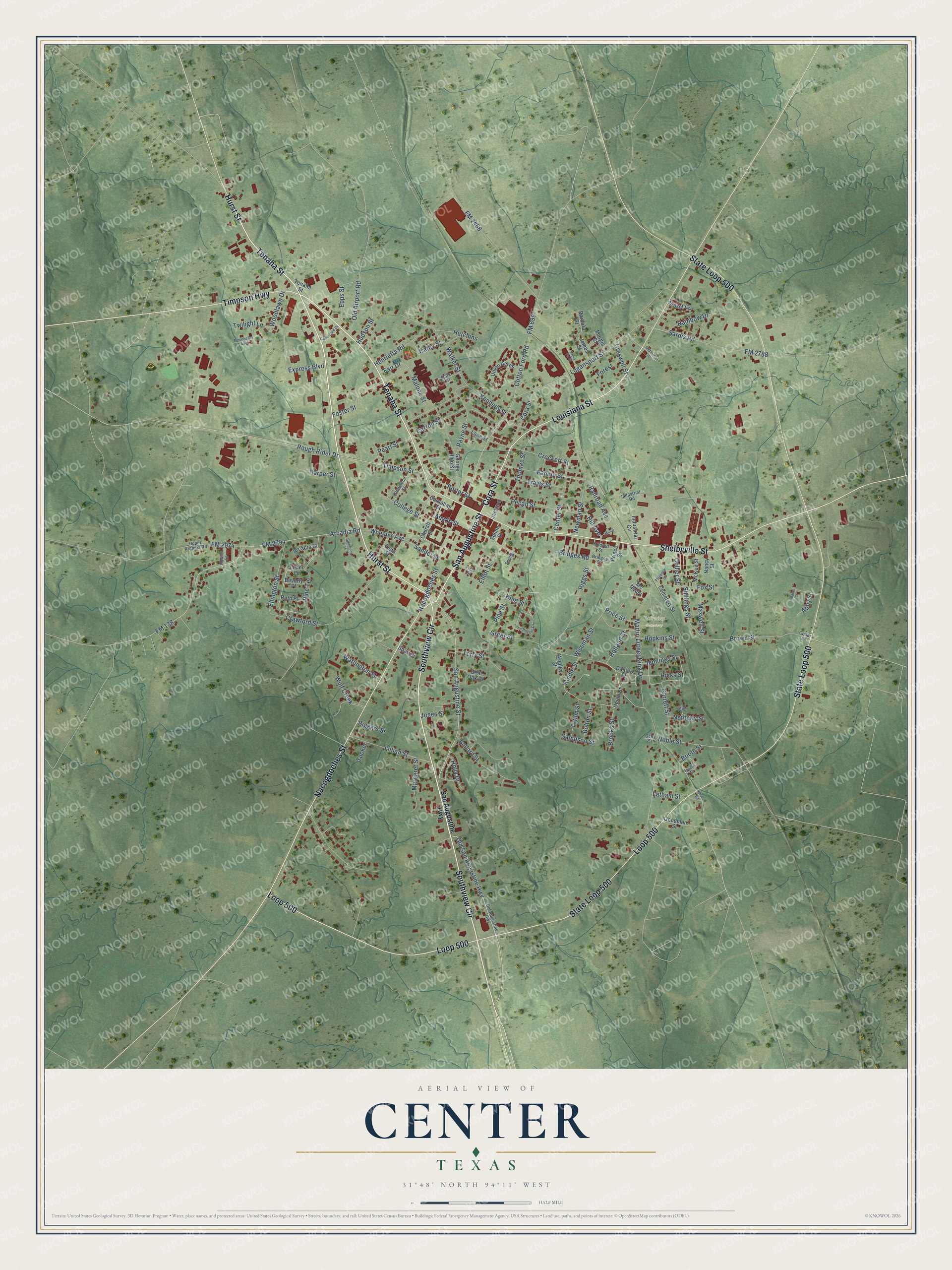
Street and place names on the Center, Texas map
These names are printed on the map of Center, Texas.
Places: Fairview Cemetery.
Streets and roads: Hurst Street, Southview Circle, Tenaha Street, San Augustine Street, Cora Street, Louisiana Street, Nacogdoches Street, State Loop 500, Loop 500, Shelbyville Street, Timpson Highway, Old San Augustine Highway.
More street names, A to Z
Abby Street, Adams Street, Arcadia Court, Arcadia Road, Austin Street, Ballard Street, Barbara Street, Bent Oak Drive, Beverly Place, Biggars Street, Bolton Street, Booth Street, Bridges Road, Bridges Street, Brooks Street, Brown Street, Carnahan Street, Carroll Street, Cass-Caid Drive, Cathy Street, Cedar Lane, Cemetery Street, Center Street, Church Street, College Street, Collier Street, Cotton Ford Road, Crawford Street, Creswell Street, Crockett Street, Daniels Street, Ellington Street, Elliot Street, Epps Street, Express Boulevard, Fair Drive, Fannin Street, Field Street, Fleta Street, Florence Street, FM 138, FM 699, FM 2468, FM 2788, FM 2794, FM 2974, Forest, Foster Street, Fowler Drive, Fox Street, Garrett Street, George Ihlo Street, Gladstone Street, Goodman Street, Greer Street, Hall Street, Harper Street, Hearn Street, Henrietta Road, Hicks Street, Hill Avenue, Holland Street, Holly Drive, Hopkins Street, Hudson Street, Hutchins, Industrial Cv, Industrial Road, Jackson, James Street, Jennings Street, John Rogers Drive, Jones Street, Kennedy Street, Kindle Street, King Street, Lane Street, Latham Street, Lillian Street, Lister Lane, Logansport Street, Malone Street, Margaret Street, Margie Street, Martin Luther King Drive, Maxwell Street, McKee Street, Mc Nealy, Middleton Street, Mildred Street, Minta, Moonbeam Avenue, Nancy Street, Netherly Street, Neville Road, Newman Street, Noble Street, Old Airport Road, Old Augustine Highway, Osby Street, Park Street, Payne Street, Pearl Street, Pecan Street, Pine Street, Pine Terrace, Porter Street, Price Street, Prince Street, Railroad Avenue, Rainbow Drive, Riggs Street, Rough Rider Drive, Ruth Place, Sampson Street, San Augustine Highway, Sandel Street, Santa Fe Street, Sardis Road, Selma Street, Shari Street, Shillings Street, Spring, Stephens Street, Sunset Circle, Tatum Street, Terry Street, Thomas Street, Timpson Street, Travis Street, Tucker, Twilight Lane, Union Acres, Union Street, Upper Arcadia Road, Walker Street, Watlington Street, Wheeler Avenue, Wiseman Street, Woodlawn Drive, Wooley Street, Wulf Creek.
See the Center, Texas map on a wall
The Center map as an 18 x 24 inch print in a black frame.

This beautifully detailed map of Center makes an attractive addition to your office, library, or den, and it can even be used to teach children the geography and history of the area. It also makes a great gift for anyone who grew up in Center or moved away. When you’re done exploring, click here to get your copy of the Center map.