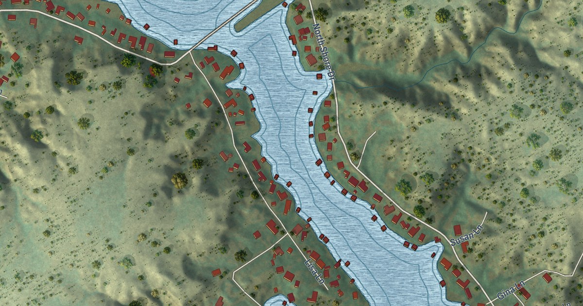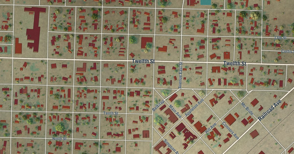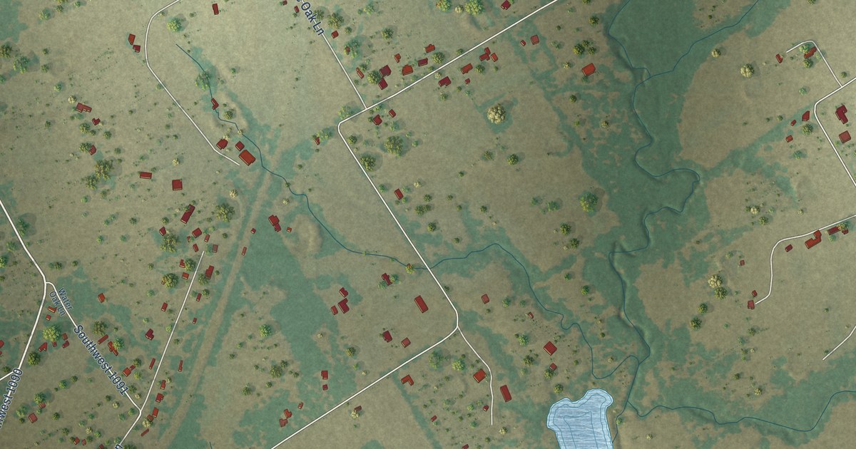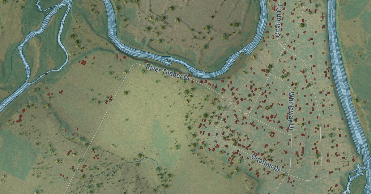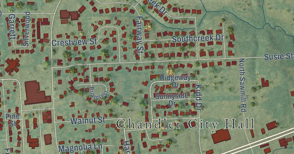
This beautifully detailed map of Chandler, Texas was created in 2026 using aerial imagery combined with modern topographical, census, street and landmark data. It’s a one-of-a-kind view of Chandler that combines accurate data with a vintage aesthetic. The map shows every building in its true location, many of the roads carry their names, and the shaded topographic relief shows the shape of the land.
Explore an aerial view of Chandler, Texas
On the map you’ll find Chandler City Hall and Winchester Park, along with Old Tyler Road, Sawmill Road, Rose Lane, Hardee Drive, Cade Drive, West Main Street, Adam Lane, Adams Lane, Ridgeway Drive, Joan Street, and more. If you look closely you can even find your house accurately drawn in its correct location. Zoom in on the preview to look for yours.
Did you know this piece of Chandler, Texas history?
From the Handbook of Texas: "The community's first mayor was elected in 1960, and in 1989 the town reported a population of 1,680 and forty businesses."
Take a closer look at the Chandler map
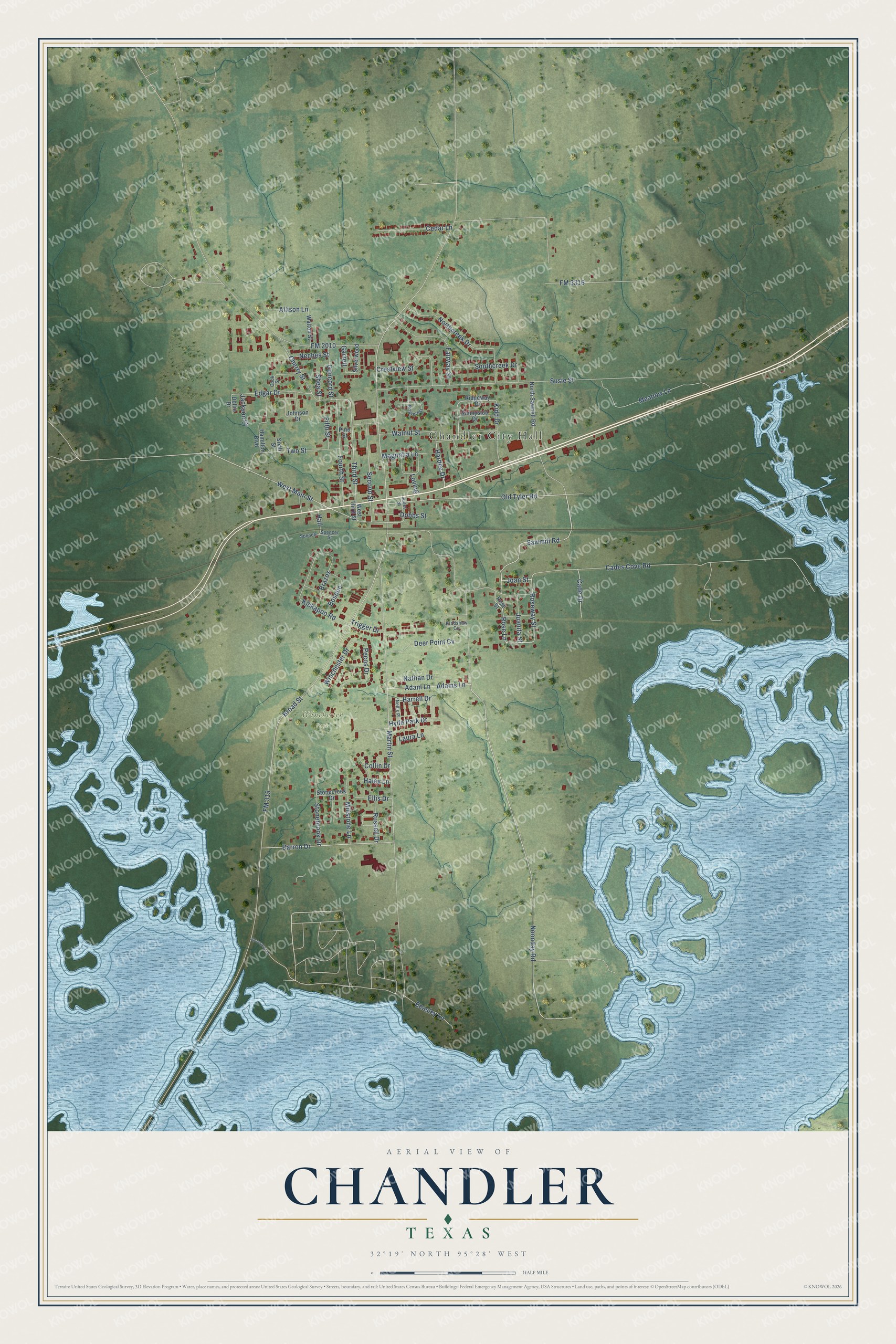
Street and place names on the Chandler, Texas map
These names are printed on the map of Chandler, Texas.
Places: Chandler City Hall and Winchester Park.
Streets and roads: Sawmill Road, Rose Lane, Hardee Drive, Joan Street, Old Tyler Road, Cade Drive, Roseway Street, West Main Street, Third Street, Adam Lane, Adams Lane, FM 315.
More street names, A to Z
Allison Lane, Barron Drive, Beasley Lane, Bosque, Bradshaw Circle, Brazos, Briarcrest, Broad Street, Cades Cove Road, Cedar Lane, Cherry Street, Collin Drive, Concord Street, Cook Street, Crestview Street, Deer Point Cv, Dobbs Street, Dollie Drive, Edgar Drive, Ellis Drive, Fairway Street, Fifth Street, FM 2010, FM 3316, Fourth Street, Garrett, Haley Lane, Hall, Hamilton Boulevard, Harrell Drive, Hyde Park Drive, Jackson Street, Johnson Drive, Jones Street, Juanita Street, Kickapoo Road, Kidd Drive, Laura Lane, Loving, Magnolia Lane, Martin Street, Meadow Lane, Millstone Lane, Nathan Drive, Neches Street, Nell's Place, Noonday Road, Northcreek Drive, North Sawmill Road, Pecos Drive, Pine Street, Ridgeway Drive, Rose Street, Russell Drive, Second Street, Shea Street, Silverwood, Sixth Street, Southcreek Drive, Spencer, Spencer Street, Sportsman Drive, Stonebrook Drive, Stonecreek Drive, Sunnyside Drive, Susie Street, Trigger Drive, Two Street, Walnut Street, Walton Street, West Third Street, Winchester Drive.
See the Chandler, Texas map on a wall
The Chandler map as an 18 x 24 inch print in a black frame.

This beautifully detailed map of Chandler makes an attractive addition to your office, library, or den, and it can even be used to teach children the geography and history of the area. It also makes a great gift for someone who left Chandler and still calls it home. When you’re done exploring, click here to get your copy of the Chandler map.