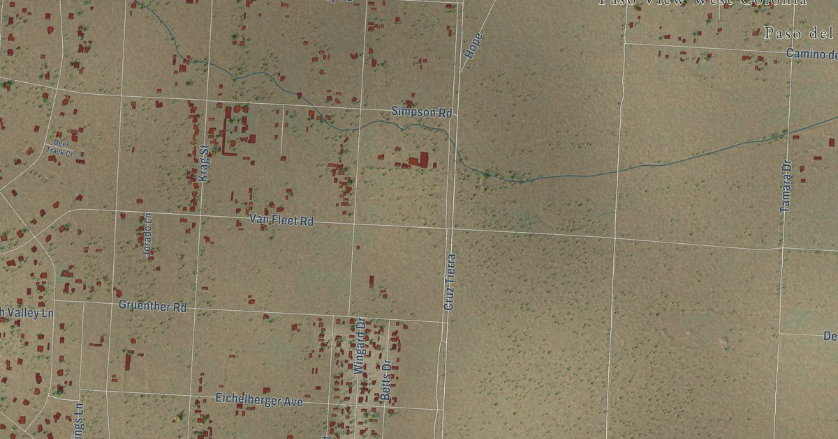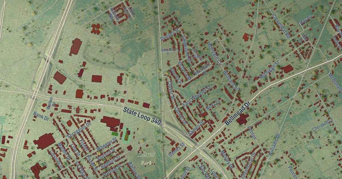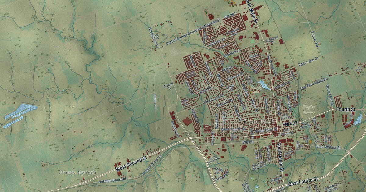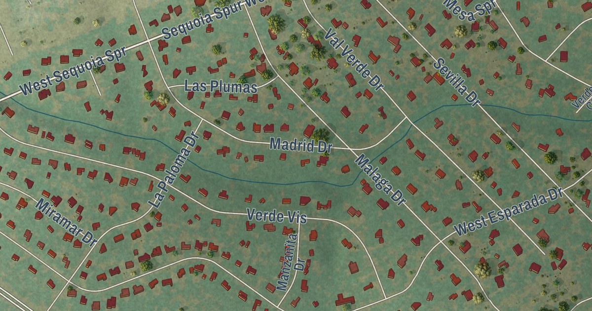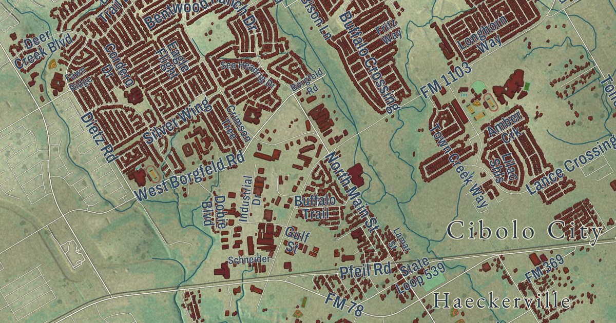
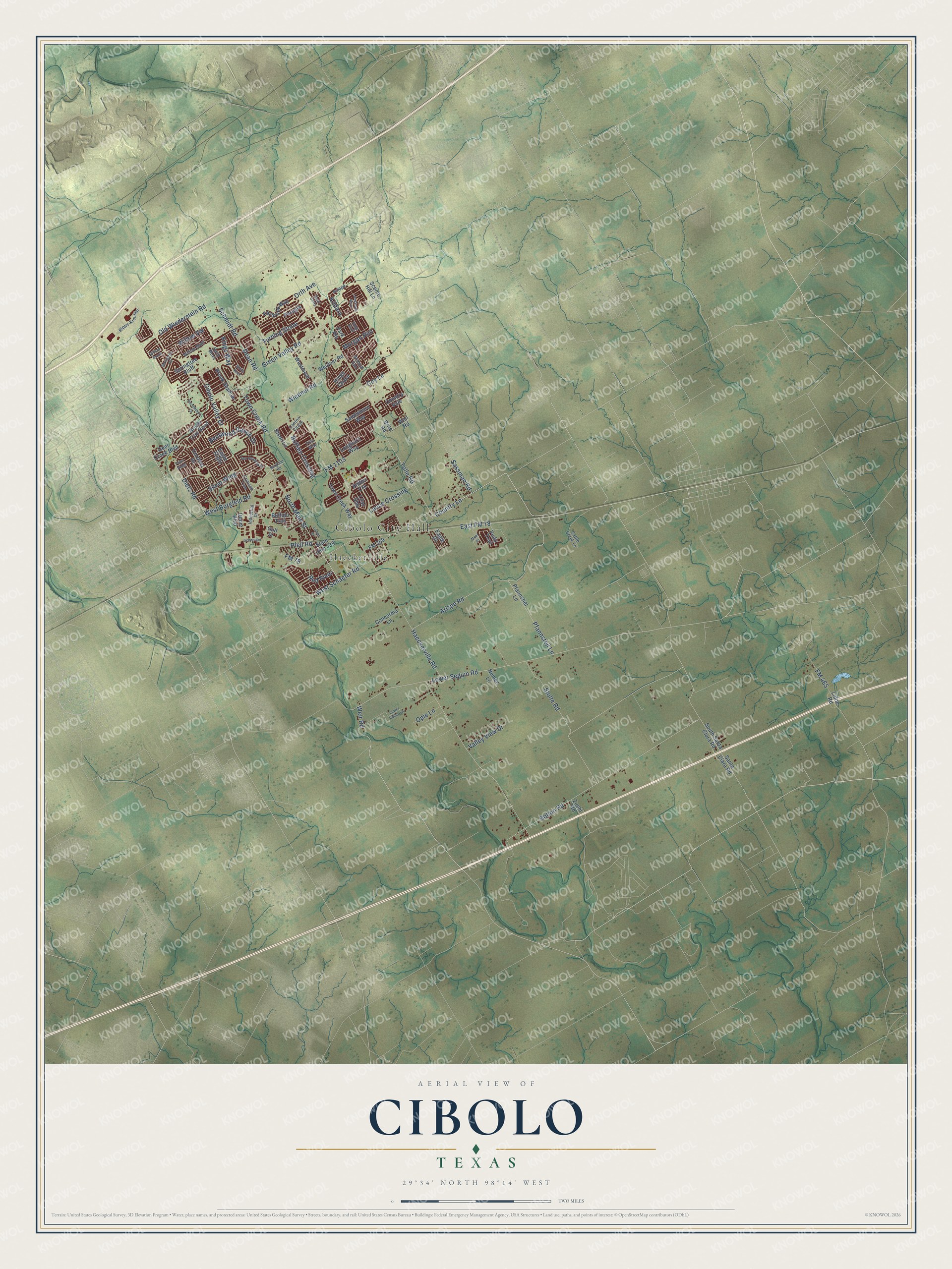
This beautifully detailed map of Cibolo, Texas was created in 2026 using aerial imagery combined with modern topographical, census, street and landmark data. It’s a one-of-a-kind view of Cibolo that combines accurate data with a vintage aesthetic. The map shows every building in its true location, many of the roads carry their names, and the shaded topographic relief shows the shape of the land.
Explore an aerial view of Cibolo, Texas
On the map you’ll find Cibolo City Hall, Haeckerville, East FM 78, and Morgan Run, along with FM 78, Country Lane, North Main Street, West Borgfeld Road, West Schaefer Road, Dietz Road, FM 1103, Haeckerville Road, and more. If you look closely you can even find your house accurately drawn in its correct location. Zoom in on the preview to look for yours.
Did you know this piece of Cibolo, Texas history?
From the Handbook of Texas: "When the Galveston, Harrisburg and San Antonio Railway built through the area in 1877 the station was called Cibolo Valley."
Take a closer look at the Cibolo map
Street and place names on the Cibolo, Texas map
These names are printed on the map of Cibolo, Texas.
Places: Cibolo City Hall and Haeckerville.
Streets and roads: FM 78, East FM 78, Country Lane, North Main Street, West Borgfeld Road, Dietz Road, Turning Stone, West Schaefer Road, FM 1103, Haeckerville Road, Green Valley Road, Lower Seguin Road.
More street names, A to Z
Amber Crk, Arizpe Road, Asiago, Bentwood Ranch Drive, Bison Lane, Bolton Road, Borgfeld Road, Brite Road, Brook Shadow, Brush Trail Bend, Buffalo Crossing, Buffalo Trail, Canton Chase, Cattle Creek Lane, Cibolo Valley Drive, Concordia Lane, Cordero Drive, Country Vale, Coy Lane, Crimson Tree, Dean Road, Deer Creek Boulevard, Dobie Boulevard, Eagle Drive, Eagle Flight, Fawn Ridge, FM 369, FM 465, Foxbrook Way, Fritz Way, Gulf Street, Hinge Chase, Industrial Drive, Kauri Cliffs, Kildare, Kings Way, Lamar Street, Lance Crossing, Landmark Way, Lilac Shls, Linne Road, Longhorn Way, Lower Valley Lane, Moki Place, Morgan Run, Nemec Lane, Old Wiederstein Road, Opie Lane, Orth Avenue, Park Heights, Persimmon Drive, Perugia, Pfannsteil Lane, Pfannstiel Lane, Pfeil Road, Pudu Trail, Red River, Ridge Bluff, Ripps-Kreusler, Saddlehorn Way, Santa Clara Road, Sassman Road, Scenic Hill Lane, Schmidt Road, Schneider, Sea Headrig Drive, Silver Wing, South Santa Clara Road, Springtree Bluff, Springtree Cv, State Loop 539, Stolte Road, Swift Move, Tolle Road, Town Creek Road, Town Creek Way, Valley View Drive, Weidner Road, Weil Road, Weir Road, Westmont, White Rock, Wiedner Road, Wildcat Run, Willow Bluff, Willow Brook, Willow Vw, Zuehl Road.
See the Cibolo, Texas map on a wall
The Cibolo map as an 18 x 24 inch print in a black frame.

This beautifully detailed map of Cibolo makes an attractive addition to your office, library, or den, and it can even be used to teach children the geography and history of the area. It also makes a great gift for anyone with Cibolo roots. When you’re done exploring, click here to get your copy of the Cibolo map.