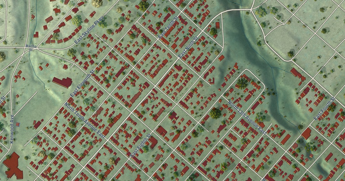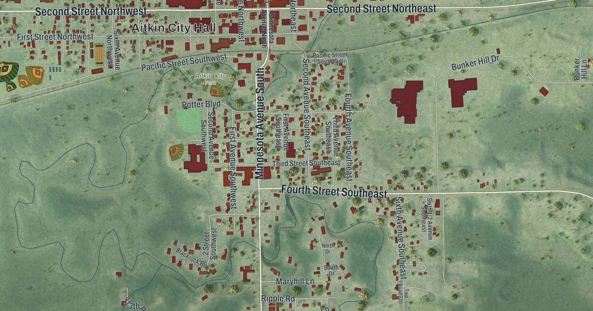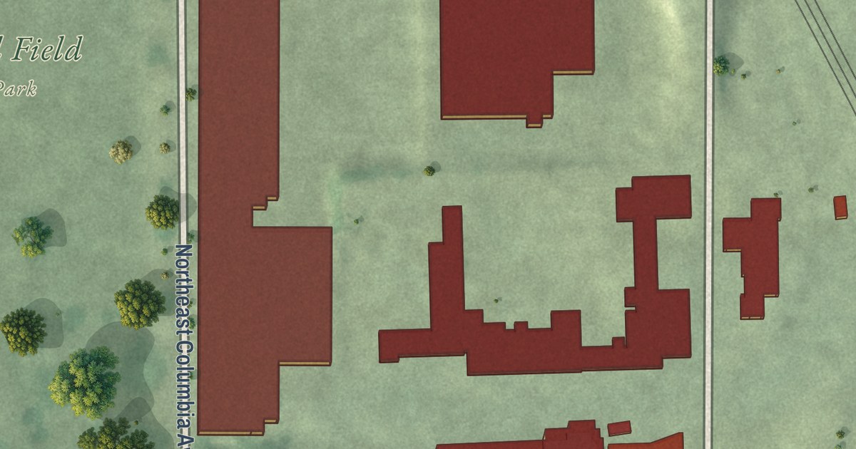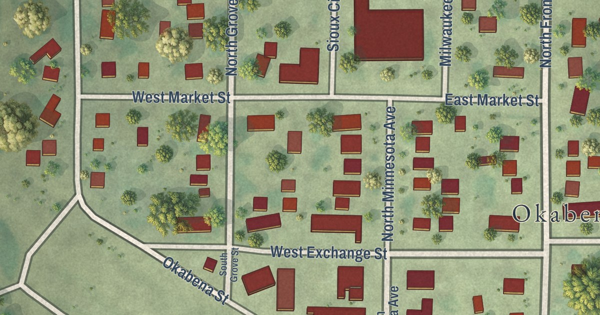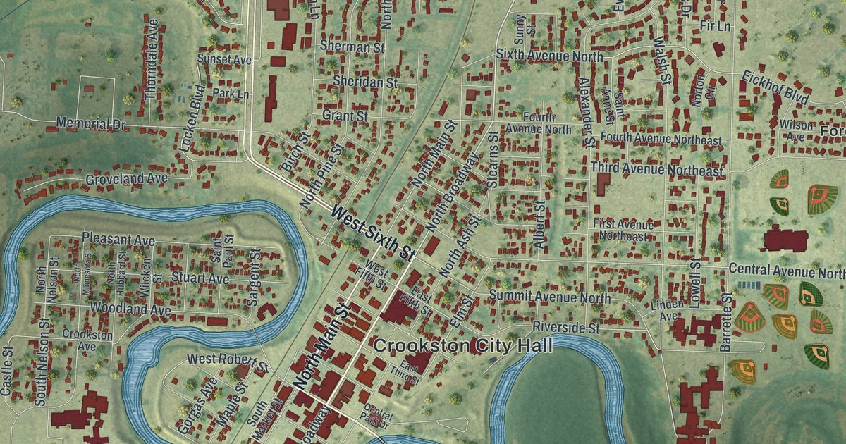
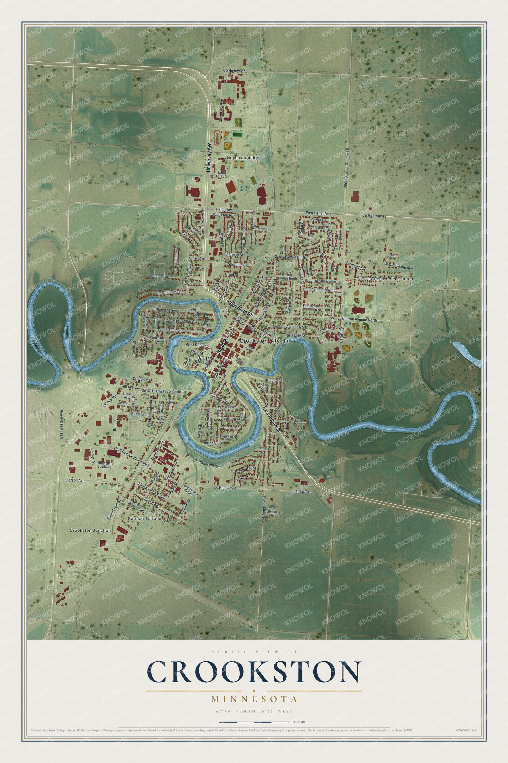
This beautifully detailed map of Crookston, Minnesota was created in 2026 using aerial imagery combined with modern topographical, census, street and landmark data. It’s a one-of-a-kind view of Crookston that combines accurate data with a vintage aesthetic. The map shows every building in its true location, many of the roads carry their names, and the shaded topographic relief shows the shape of the land.
Explore an aerial view of Crookston, Minnesota
On the map you’ll find Crookston City Hall, Crookston Junction, Forest Knolls Estates, Noyes Junction, and North Broadway, along with Carman Terrace, East Robert Street, North Main Street, West Sixth Street, University Avenue, Fisher Avenue, East Fisher Avenue, and more. If you look closely you can even find your house accurately drawn in its correct location. Zoom in on the preview to look for yours.
Did you know this piece of Crookston, Minnesota history?
From the 1920 Minnesota Geographic Names: "Crookston, the county seat, first settled in 1872, incorporated as a city February 14, 1879, was named in honor of Colonel William Crooks, of St. Paul, who was the chief engineer in locating the first railroad here, then known as the St. Paul and Pacific railroad, which was constructed in 1872 from Glyndon through Crookston to the Snake river at the site of Warren in Marshall county."
Take a closer look at the Crookston map
Street and place names on the Crookston, Minnesota map
These names are printed on the map of Crookston, Minnesota.
Places: Crookston City Hall, Crookston Junction, Carman Terrace, Forest Knolls Estates and Noyes Junction.
Streets and roads: East Robert Street, North Main Street, West Sixth Street, University Avenue, Fisher Avenue, North Broadway, East Fisher Avenue, County Highway 11, South Broadway, Old US Highway 75 South, West Robert Street, Third Avenue Southwest.
More street names, A to Z
250th Avenue Southwest, Albert Street, Alexander Street, Barrette Street, Bertha Street, Birch Street, Bridge Street, Bruce Street, Campbell Road, Carroll Street, Castle Street, Cedar Court, Cedar Lane, Central Avenue North, Central Park Drive, College Avenue, County Highway 9, County Highway 71, Crescent Avenue, Cromb Street, Crookston Avenue, East Fifth Street, East Third Street, Eickhof Boulevard, Elm Street, Erskine Street, Euclid Avenue, Evergreen Drive, Fairfax Avenue, Fifth Avenue South, Fifth Avenue Southwest, Fir Lane, First Avenue Northeast, Foskett Street, Fourth Avenue North, Fourth Avenue Northeast, Golf Terrace, Golf Terrace Drive, Gorgas Avenue, Grant Street, Groveland Avenue, Guthrie Street, Hill Avenue, Holly Avenue, Houston Avenue, Hoven Lane, Hunter Street, Hurlbut Street, Ingersoll Avenue, Jackson Avenue, Johnson Place, Lincoln Avenue, Linden Avenue, Locken Boulevard, Lowell Street, Maple Street, Marin Avenue, Marshall Street, McLean Street, Meadowland Avenue, Memorial Drive, Myrtle Street, Newton Avenue, North Acres Drive, North Ash Street, North Front Street, North Hubbard Street, North Minnesota Street, North Nelson Street, North Pine Street, Norton Circle, Park Lane, Pleasant Avenue, Prairie Rose Avenue, Radisson Road, Riverside Street, Russell Street, Saint Anne Street, Saint Johns Drive, Saint Marys Drive, Saint Paul Street, Sampson Street, Sargent Street, Service Road, Seventh Avenue South, Sheridan Street, Sherman Street, Sixth Avenue North, Sletten Street, South Ash Street, South Front Street, South Hubbard Street, South Main Street, South Market Street, South Minnesota Street, South Nelson Street, Spendley Street, Spruce Lane, State Street, Stearns Street, Stephens Drive, Strander Avenue, Stuart Avenue, Summit Avenue North, Sunflower Street, Sunny Street, Sunset Avenue, Sunshine Avenue, Third Avenue Northeast, Third Avenue South, Thorndale Avenue, Tuttle Avenue, Twin Drive, University Drive North, Vance Street, Walsh Street, Washington Avenue, West Fifth Street, West Western Avenue, Widman Lane, Wilcken Street, Wilson Avenue, Woodland Avenue.
See the Crookston, Minnesota map on a wall
The Crookston map as an 18 x 24 inch print in a black frame.

This beautifully detailed map of Crookston makes an attractive addition to your office, library, or den, and it can even be used to teach children the geography and history of the area. It also makes a great gift for anyone who grew up in Crookston or moved away. When you’re done exploring, click here to get your copy of the Crookston map.