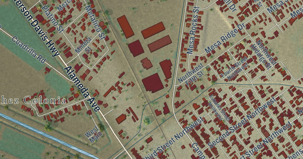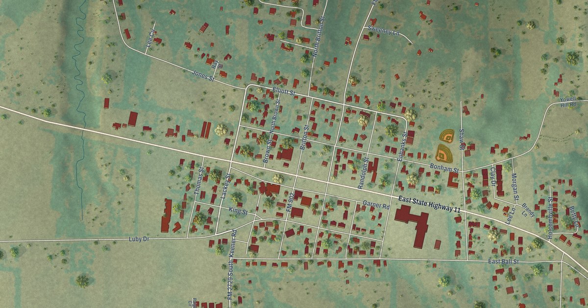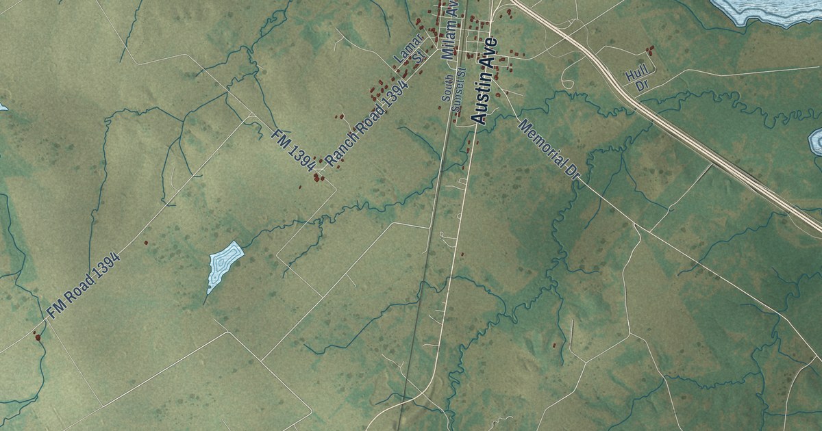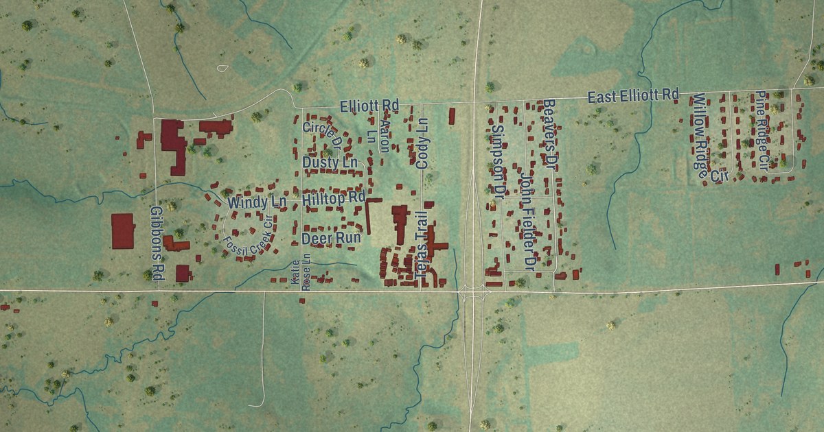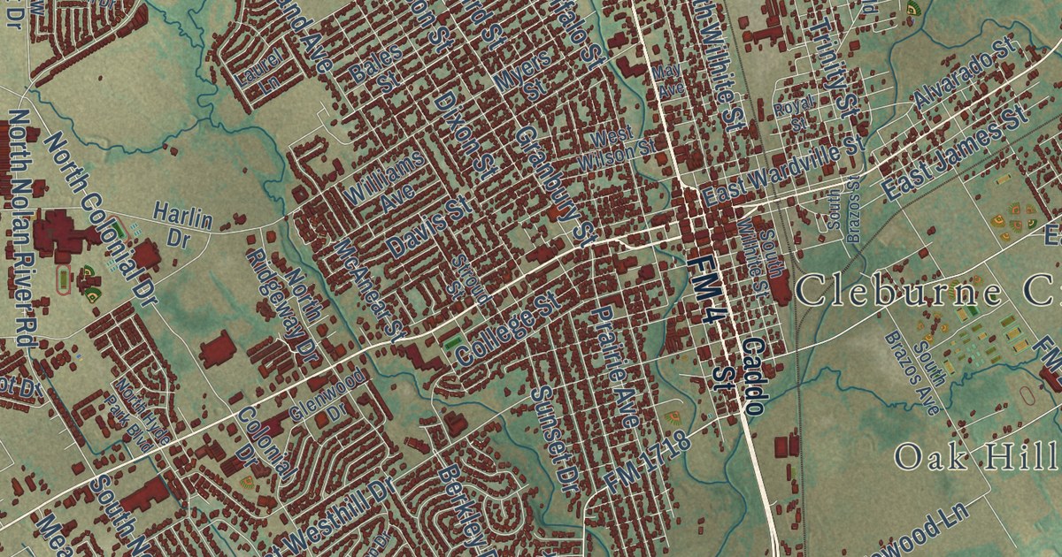
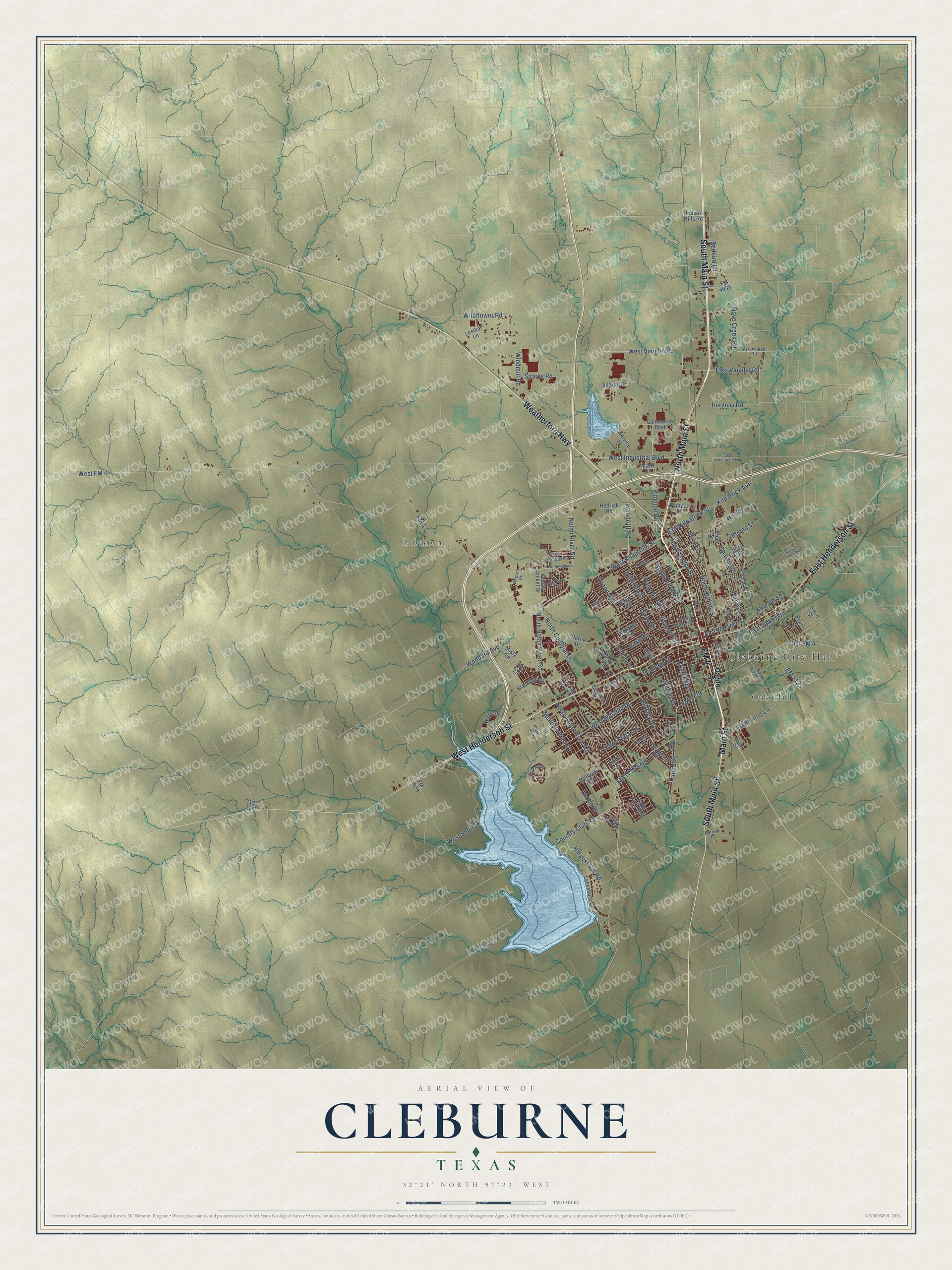
This beautifully detailed map of Cleburne, Texas was created in 2026 using aerial imagery combined with modern topographical, census, street and landmark data. It’s a one-of-a-kind view of Cleburne that combines accurate data with a vintage aesthetic. The map shows every building in its true location, many of the roads carry their names, and the shaded topographic relief shows the shape of the land.
Explore an aerial view of Cleburne, Texas
On the map you’ll find Cleburne City Hall, Oak Hill, and Lebanon, along with North Main Street, South Main Street, FM 4, Weatherford Highway, West Henderson Street, East Henderson Street, Main Street, FM 1718, FM 1718 East, and more. If you look closely you can even find your house accurately drawn in its correct location. Zoom in on the preview to look for yours.
Did you know this piece of Cleburne, Texas history?
From the Handbook of Texas: "Cleburne had a post office during its first year and a newspaper, the Cleburne Chronicle, in 1868."
Take a closer look at the Cleburne map
Street and place names on the Cleburne, Texas map
These names are printed on the map of Cleburne, Texas.
Places: Cleburne City Hall, Oak Hill and Lebanon.
Streets and roads: North Main Street, South Main Street, FM 4, Weatherford Highway, West Henderson Street, East Henderson Street, Main Street, FM 1718 East, FM 1718, East Kilpatrick Street, Pipeline Road, Kilpatrick Avenue.
More street names, A to Z
Airport Drive, Alvarado Street, Arrowhead Road, Baird Street, Bales Street, Barnett Drive, Berkley Drive, Berry Drive, Blackfoot Drive, Boone Street, Bradley Drive, Brook Lane, Burgess Road, Caddo Street, Cedar Street, Chase Avenue, Cindy Lane, College Street, Colonial Drive, Commerce Boulevard, Country Club Road, Cross Creek Lane, Davis Street, Dixon Street, Dove Creek Road, Dublin Drive, Eagles Nest Drive, East FM 4, East Industrial Boulevard, East James Street, East Vaughn Road, East Wardville Street, Edgewood Lane, Elmo Street, Erie Street, FM 1434, FM 2135, FM 2331, FM 4038, Glenwood Drive, Granbury Street, Grand Avenue, Harlin Drive, Harvest Hill Road, Hedrick Road, Hill Lane, Hilltop Drive, Hines Road, Hix Road, Hyde Park Boulevard, Indian Hills Road, Jesse Street, Kilpatrick Court, Kylie Street, Lakeshore Drive, Laurel Lane, Lesikar Lane, Lynnwood Drive, Madison Street, Mansfield Road, Marti Drive, May Avenue, McAnear Street, Meadow View Drive, Millbrae Road, Misty Lane, Myers Street, Nolan River Road, North Anglin Street, North Buffalo Street, North Colonial Drive, North Hyde Park Boulevard, North Nolan River Road, North Ridgeway Drive, North Wilhite Street, Nottaway Drive, Odell Street, Old Bridge Road, Park Boulevard, Pearl Street, Prairie Avenue, Redbird Lane, Royal Street, Service Drive, South Brazos Avenue, South Brazos Street, South Nolan River Road, South Wilhite Street, Sparks Drive, Sparks Road, Stroud Street, Sunset Drive, Surry Place Drive, Town North Drive, Trinity Street, Vantage Drive, Walls Drive, West County Road 1112, West FM 4, West Industrial Boulevard, West Kilpatrick Street, West Shore Drive, West Vaughn Road, West Westhill Drive, West Wilson Street, Wildflower Road, Williams Avenue, Windmill Road, Woodard Avenue, Woodruff Road, Yellow Jacket Drive.
See the Cleburne, Texas map on a wall
The Cleburne map as an 18 x 24 inch print in a black frame.

This beautifully detailed map of Cleburne makes an attractive addition to your office, library, or den, and it can even be used to teach children the geography and history of the area. It also makes a great gift for someone who left Cleburne and still calls it home. When you’re done exploring, click here to get your copy of the Cleburne map.